Burnt Fen
Downs, Moorland in Cambridgeshire East Cambridgeshire
England
Burnt Fen

Burnt Fen, located in Cambridgeshire, is a unique and diverse area known for its rich history, stunning landscapes, and abundant wildlife. Covering an approximate area of 3,000 hectares, this scenic region encompasses both downs and moorland, offering visitors a wide range of natural wonders to explore.
The downs of Burnt Fen are characterized by gently rolling hills and expansive grasslands that provide a picturesque backdrop for leisurely walks and picnics. These open spaces are home to a variety of plants and flowers, including the vibrant purple orchids that bloom during the summer months.
In contrast, the moorland areas of Burnt Fen boast a more rugged and wild environment. Visitors can discover vast stretches of heather-covered terrain, dotted with scattered pools and small ponds. This diverse habitat attracts a multitude of bird species, making it a haven for birdwatchers and nature enthusiasts.
The history of Burnt Fen is evident in the remnants of ancient settlements and archaeological sites that can be found throughout the area. The region's name itself is a reference to the practice of burning the land to promote new growth and improve grazing conditions for livestock.
To protect and preserve the unique ecosystem of Burnt Fen, the area has been designated as a Site of Special Scientific Interest (SSSI) and is managed by conservation organizations. This ensures that the natural beauty and biodiversity of the region can be enjoyed by future generations.
If you have any feedback on the listing, please let us know in the comments section below.
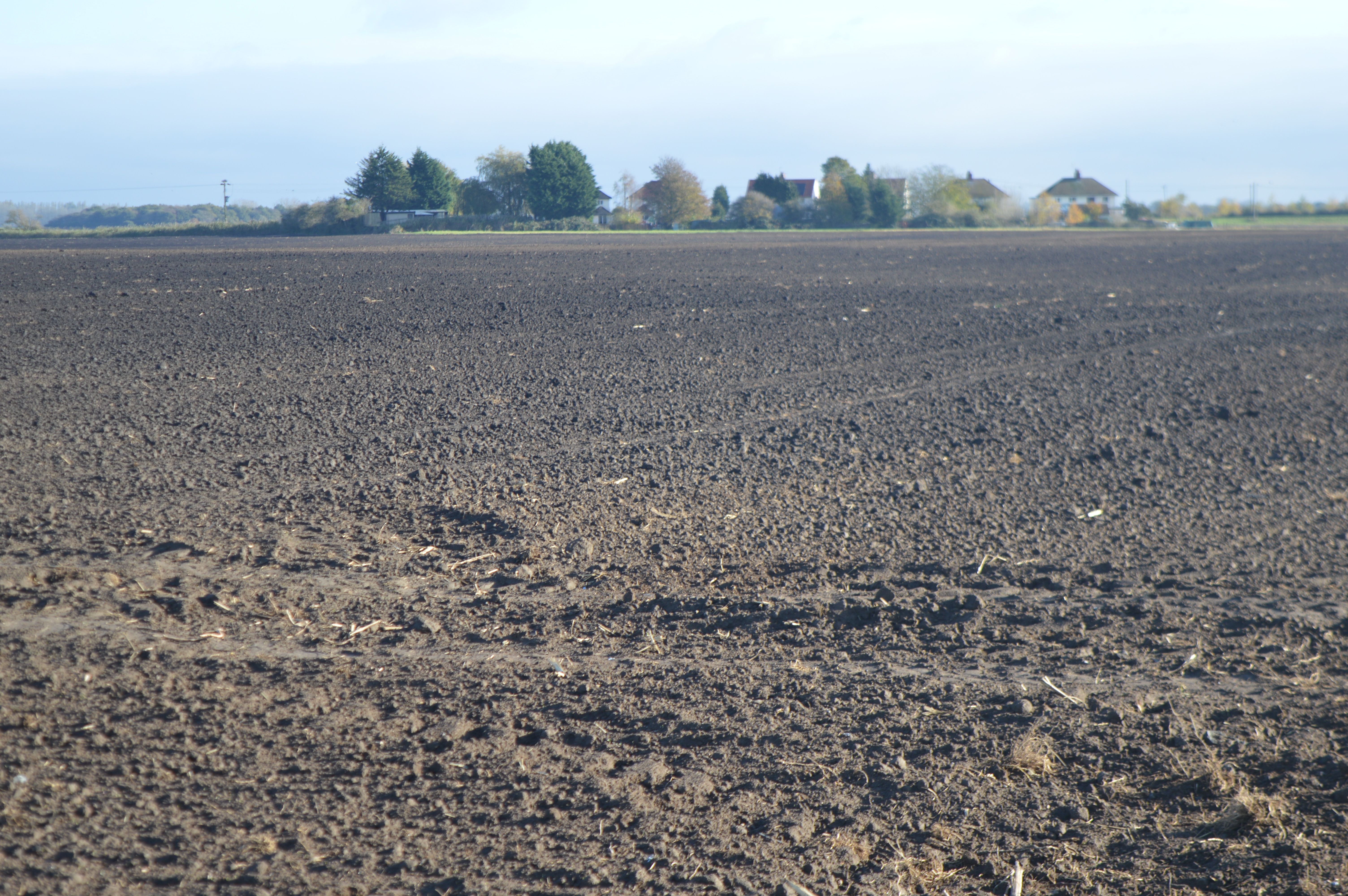
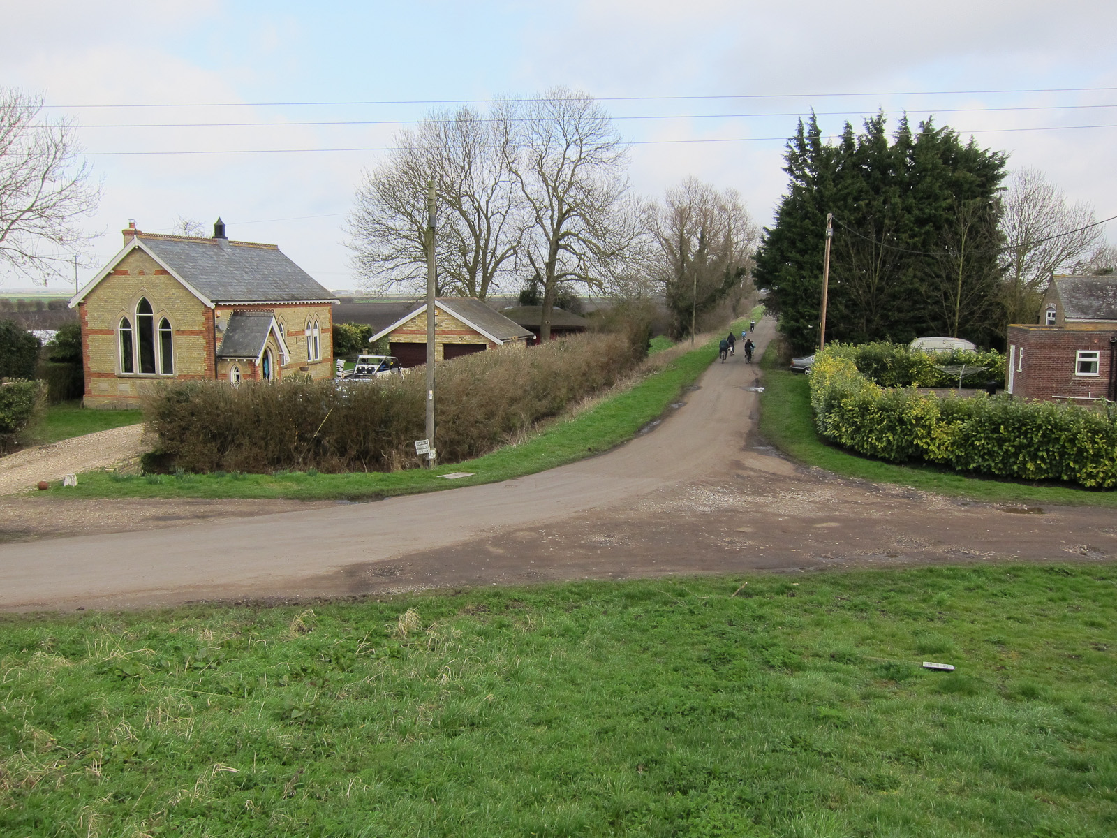
Burnt Fen Images
Images are sourced within 2km of 52.438012/0.3847861 or Grid Reference TL6284. Thanks to Geograph Open Source API. All images are credited.


Burnt Fen is located at Grid Ref: TL6284 (Lat: 52.438012, Lng: 0.3847861)
Division: Isle of Ely
Administrative County: Cambridgeshire
District: East Cambridgeshire
Police Authority: Cambridgeshire
What 3 Words
///bossy.washable.slices. Near Littleport, Cambridgeshire
Nearby Locations
Related Wikis

North East Cambridgeshire (UK Parliament constituency)
North East Cambridgeshire is a constituency represented in the House of Commons of the UK Parliament since 2010 by Steve Barclay, a Conservative. ��2...
Shippea Hill SSSI
Shippea Hill SSSI is a 27.6-hectare (68-acre) geological Site of Special Scientific Interest east of Ely in Cambridgeshire, England. It is a Geological...

Shippea Hill railway station
Shippea Hill railway station (originally Mildenhall Road and later Burnt Fen) is on the Breckland Line in the east of England, serving the Burnt Fen area...
Brandon Bank
Brandon Bank is a hamlet in Cambridgeshire, England, although most of its buildings lie across the River Little Ouse in Norfolk. The population is included...
Nearby Amenities
Located within 500m of 52.438012,0.3847861Have you been to Burnt Fen?
Leave your review of Burnt Fen below (or comments, questions and feedback).