Bexley Common

Downs, Moorland in Essex Uttlesford

England

Bexley Common

Lane to Great Canfield
Lane to Great Canfield Credit: Trevor Harris

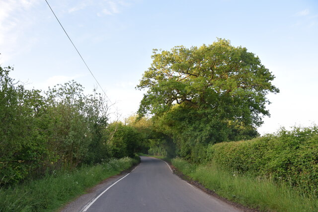
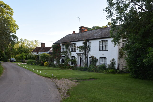
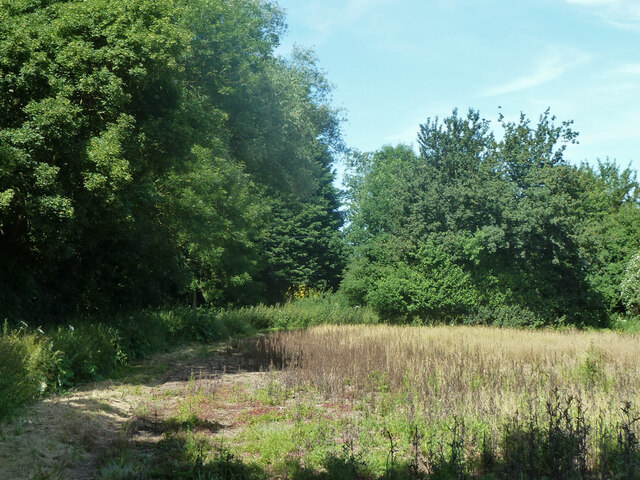
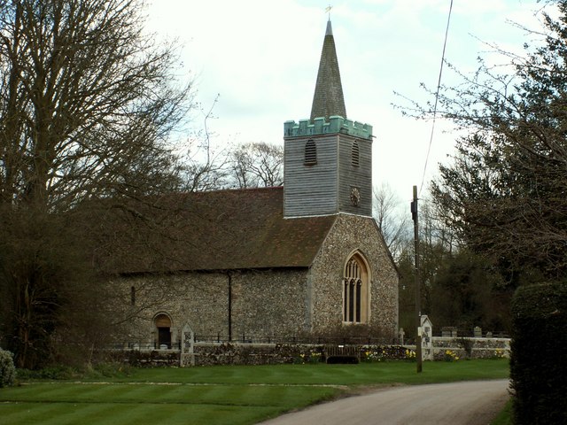
Bexley Common, located in the county of Essex, is a picturesque area known for its diverse landscape of downs and moorland. Spanning approximately 500 acres, this common offers visitors a serene and tranquil setting to explore and enjoy the beauty of nature.

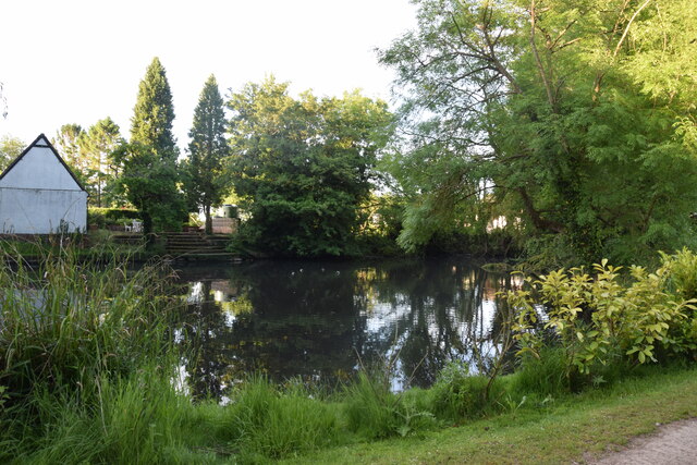
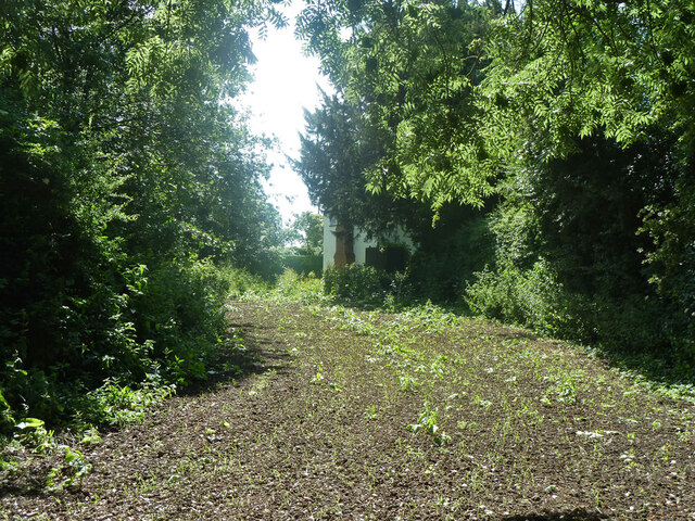
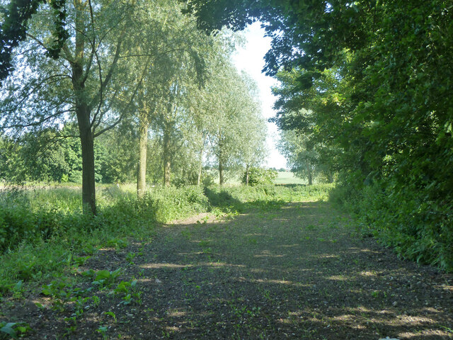
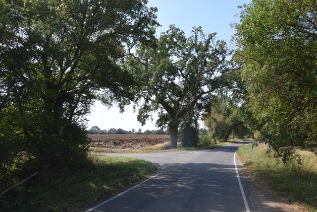
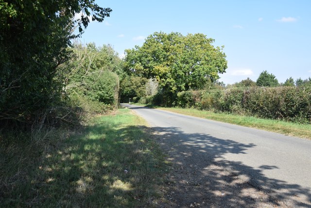
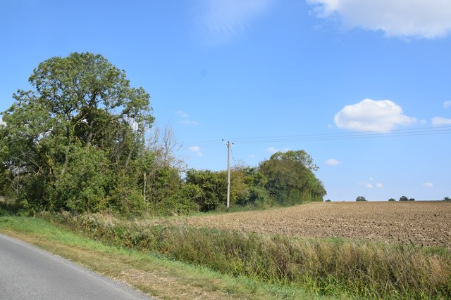
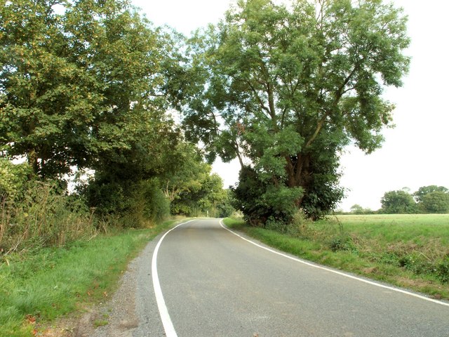
The common is characterized by its rolling hills and expansive open spaces, providing ample opportunities for walking, hiking, and picnicking. The downs, with their gently sloping hills, are covered in lush green grass, making it an ideal spot for leisurely strolls and enjoying panoramic views of the surrounding countryside.

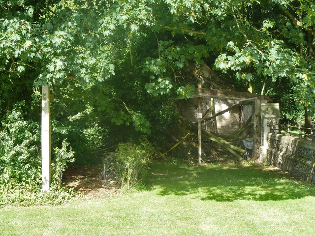
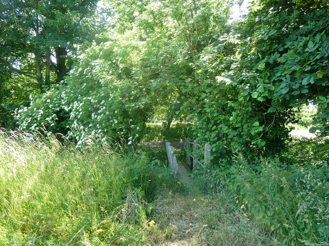
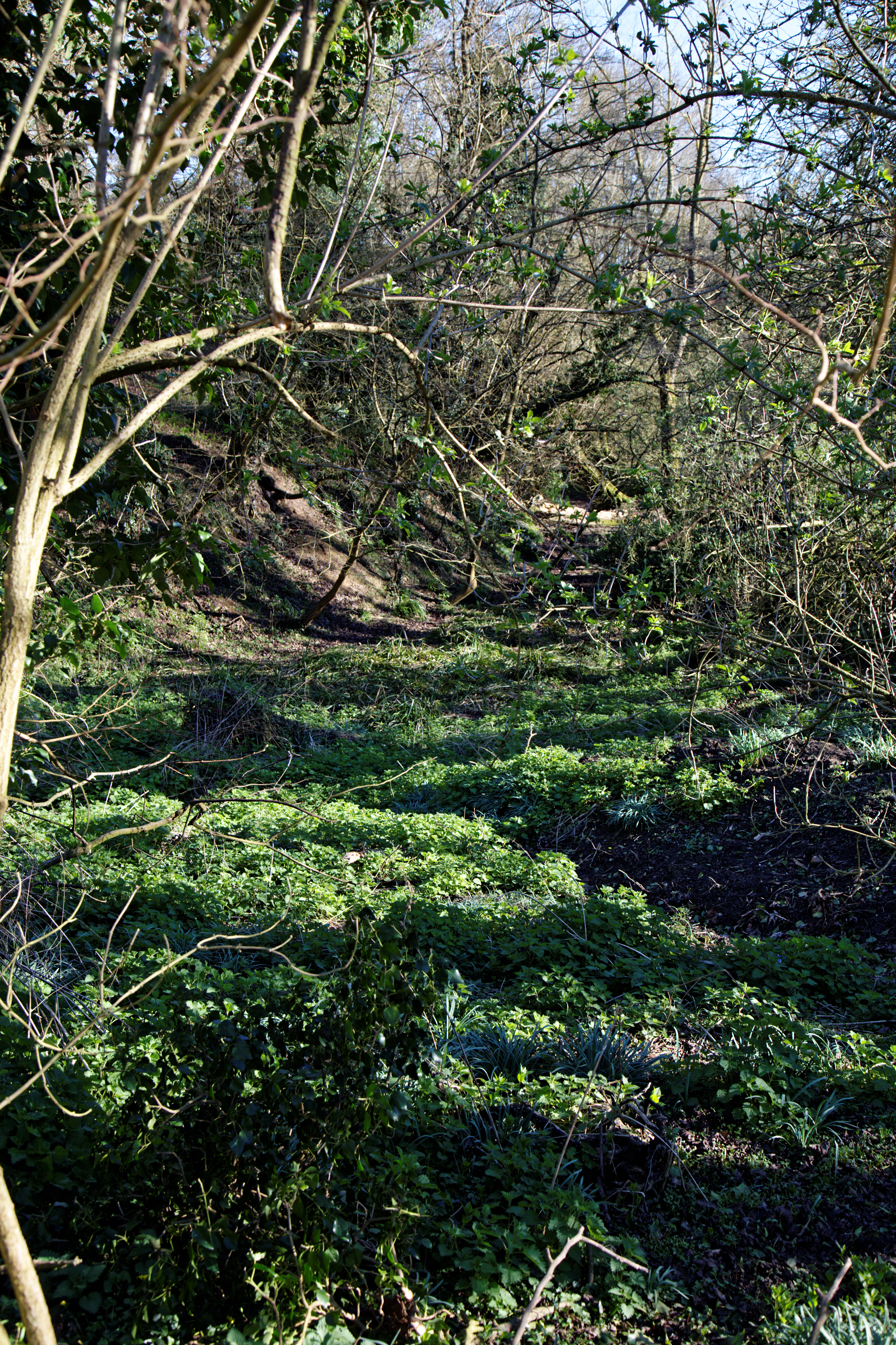
In contrast, the moorland section of Bexley Common is characterized by its rugged and wild beauty. Here, visitors can wander through heather-covered hills, dense shrubbery, and pockets of ancient woodland. The moorland is home to a variety of wildlife, including birds, small mammals, and reptiles, making it a popular spot for birdwatching and nature enthusiasts.

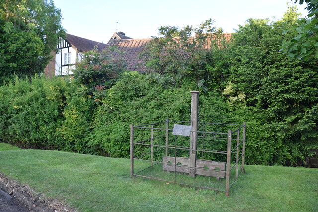
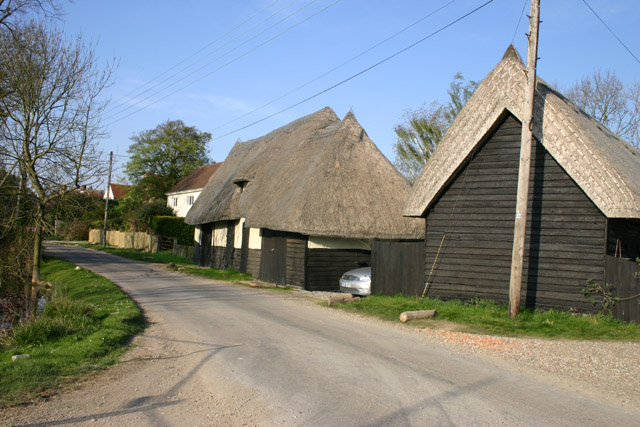
Bexley Common also boasts a rich history, with evidence of human habitation dating back centuries. The area is dotted with archaeological sites, including ancient burial mounds and remnants of Roman settlements, providing a glimpse into the region's past.

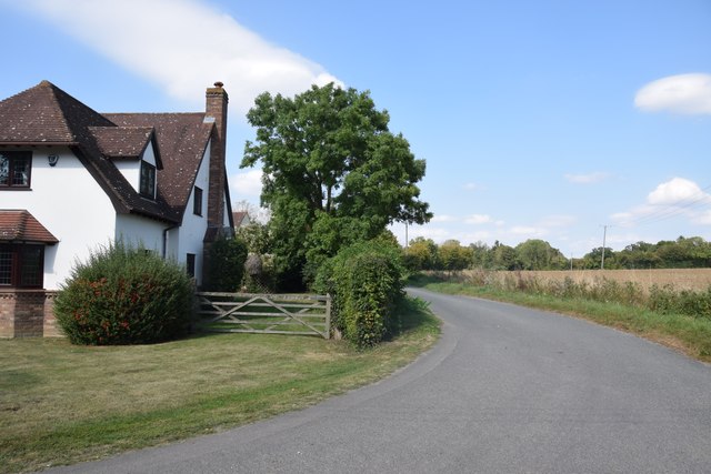
The common is easily accessible, with well-maintained footpaths and designated parking areas. It is a popular destination for locals and visitors alike, offering a peaceful escape from the hustle and bustle of city life.

Overall, Bexley Common, Essex, with its diverse landscape and rich history, is a haven for nature lovers and history enthusiasts alike, providing a perfect opportunity to immerse oneself in the natural beauty and tranquility of the Essex countryside.

If you have any feedback on the listing, please let us know in the comments section below.

Bexley Common Images

Images are sourced within 2km of 51.842465/0.2869585 or Grid Reference TL5718. Thanks to Geograph Open Source API. All images are credited.

Lane to Great Canfield
Gruesome relic at Hellman's Cross On the south side of the crossroad are these stocks and whipping post. The information plaque on the fencing reads: "These stocks were replaced by the Parish Council to commemorate the millennium 2000AD. The whipping post was also restored. Last recorded use of the stocks was in 1860 for a case of drunkenness. This is also the site where Elizabeth Abbot of Helmans, Great Canfield was burnt as a witch in 1683."
Gruesome relic at Hellman's Cross
On the south side of the crossroad are these stocks and whipping post. The information plaque on the fencing reads: "These stocks were replaced by the Parish Council to commemorate the millennium 2000AD. The whipping post was also restored. Last recorded use of the stocks was in 1860 for a case of drunkenness. This is also the site where Elizabeth Abbot of Helmans, Great Canfield was burnt as a witch in 1683."
Rodingbourne, Church End, Great Canfield The River Roding flows behind the house for which it is named.
Rodingbourne, Church End, Great Canfield
The River Roding flows behind the house for which it is named.
Pond near The Hall, Great Canfield Taken from the footpath which leads to High Roding and Highrodingbury Farm.
Pond near The Hall, Great Canfield
Taken from the footpath which leads to High Roding and Highrodingbury Farm.
Footpath and ruin by Great Canfield churchyard The footpath is Great Canfield 17, which takes a lengthy and rather meandering route across the parish. The ruin is of a structure of some size originally, this view is of the short side of a rectangle which extends away from the view and, according to an 1870s map, once extended forwards as well.
Footpath and ruin by Great Canfield churchyard
The footpath is Great Canfield 17, which takes a lengthy and rather meandering route across the parish. The ruin is of a structure of some size originally, this view is of the short side of a rectangle which extends away from the view and, according to an 1870s map, once extended forwards as well.
Footpath Great Canfield 17 Or an approximation to its course, the view here does not seem to quite match with the sign in the opposite direction seen in <a href="https://www.geograph.org.uk/photo/7373699">TL5918 : Footpath and ruin by Great Canfield churchyard</a>.
Footpath Great Canfield 17
Or an approximation to its course, the view here does not seem to quite match with the sign in the opposite direction seen in TL5918 : Footpath and ruin by Great Canfield churchyard.
Footpath Great Canfield 17 The footpath takes a lengthy and rather meandering route across the parish. This part runs from by the church across the small Roding to Green Street.
Footpath Great Canfield 17
The footpath takes a lengthy and rather meandering route across the parish. This part runs from by the church across the small Roding to Green Street.
Footbridge on footpath Great Canfield 17 Across a branch of the River Roding, small this far up.
Footbridge on footpath Great Canfield 17
Across a branch of the River Roding, small this far up.
Footpath Great Canfield 17 The footpath takes a lengthy and rather meandering route across the parish. This part runs from by the church to Green Street, just beyond the far hedge.
Footpath Great Canfield 17
The footpath takes a lengthy and rather meandering route across the parish. This part runs from by the church to Green Street, just beyond the far hedge.
Great Canfield church, north side St. Mary's is a grade I listed building, 12th century and later.
Great Canfield church, north side
St. Mary's is a grade I listed building, 12th century and later.
Great Canfield church St. Mary's is a grade I listed building, 12th century and later.
Great Canfield church
St. Mary's is a grade I listed building, 12th century and later.
Great Canfield church St. Mary's is a grade I listed building, 12th century and later.
Great Canfield church
St. Mary's is a grade I listed building, 12th century and later.
Road junction at Taverners Green With the lane called Crabbs Green on the left ahead.
Road junction at Taverners Green
With the lane called Crabbs Green on the left ahead.
On the lane to Broomshawbury Looking north here with the fingerpost for Boxley Lane just visible in the centre ahead.
On the lane to Broomshawbury
Looking north here with the fingerpost for Boxley Lane just visible in the centre ahead.
House north of Broomshawbury Taken from just outside the private entrance to Broomshawbury Farm.
House north of Broomshawbury
Taken from just outside the private entrance to Broomshawbury Farm.
Field and copse near Woolard's Ash Taken on the lane to Broomshawbury,
Field and copse near Woolard's Ash
Taken on the lane to Broomshawbury,
St. Mary's church, Great Canfield, Essex Apart from the 15th century belfry, the church is essentially Norman. The best feature of the church is a wall painting of the Virgin and Child, dated 1250 and said to be one of the best examples in the country. Close to the church is the remains of a motte and bailey castle.
St. Mary's church, Great Canfield, Essex
Apart from the 15th century belfry, the church is essentially Norman. The best feature of the church is a wall painting of the Virgin and Child, dated 1250 and said to be one of the best examples in the country. Close to the church is the remains of a motte and bailey castle.
Country road near Great Canfield, Essex
Show me another place!

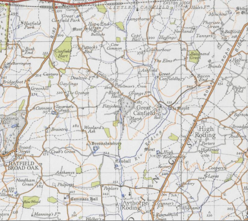
Bexley Common is located at Grid Ref: TL5718 (Lat: 51.842465, Lng: 0.2869585)

Administrative County: Essex

District: Uttlesford

Police Authority: Essex

What 3 Words

///attention.couple.suave. Near Takeley, Essex

Related Wikis

Great Canfield

Great Canfield is a village and a civil parish in the Uttlesford district of Essex, England. The village, which sits at the south-east edge of its civil...

Little Canfield

Little Canfield is a village and a civil parish in the Uttlesford district of Essex, England. The village is situated the B1256 road, near the A120 road...

Taverners Green

Taverners Green is a hamlet in the Hatfield Broad Oak civil parish of the Uttlesford district, in the county of Essex, England. Nearby settlements include...

Great Canfield Castle

Great Canfield Castle lies in the small village of Great Canfield, 3 miles (5 km) south-west of Great Dunmow in Essex, England: grid reference TL595179...

Baconend Green

Baconend Green is a hamlet in the Uttlesford district of Essex, England. It is within the parish of Great Canfield.

Bacon End

Bacon End is a hamlet in the civil parish of Great Canfield, and near Great Canfield Castle, in Essex, England. == References == == External links == mid...

Barrington Hall, Essex

Barrington Hall is a Grade II* listed 18th-century English country house in Hatfield Broad Oak, Essex, England. Barrington Hall is built in red brick...

Takeley F.C.

Takeley Football Club is an English football club based in Takeley, Essex. The club are currently members of the Essex Senior League and play at Station...

Nearby Amenities

Located within 500m of 51.842465,0.2869585
Hellman's Cross
Place: hamlet
Lat/Long: 51.8450732/0.2909327
Public Bookcase
Booth: K6
Colour: red
Disused Amenity: telephone
Man Made: telephone_box
Public Bookcase Type: phone_box
Lat/Long: 51.8447556/0.2907221
Post Box
Post Box Type: lamp
Royal Cypher: EIIR
Royal Cypher Wikidata: Q33102113
Lat/Long: 51.8447428/0.2907555
Man Made: water_well
Pump: manual
Lat/Long: 51.8446288/0.2911728
The Peace Oak
Historic: memorial
Memorial: war_memorial
Natural: tree_stump
Source: http://memorials.aroundbritain.org.uk/?country=England&county=Essex&location1=MAN100163&location2=osgb4000000028033516&place=Hellman%27s%20Cross&part=jMVSRrZJjf4t4YMOskoj6MIwbBHFR1p2X7NLytrZy6XoxmhdkQ2upsMzUxLqNllSwCXlXQuKTtEfswKLKG2qfqhLcqnTNQhLBnl
Lat/Long: 51.8445824/0.2911473
Colour: red and white
Marker: aerial
Utility: gas
Lat/Long: 51.8463705/0.2872329
Colour: red and white
Marker: aerial
Utility: gas
Lat/Long: 51.8462953/0.2871526
Bexley Common
Place: locality
Lat/Long: 51.8430847/0.2875424
The data included in this document is from www.openstreetmap.org. The data is made available under ODbL.

Have you been to Bexley Common?

Leave your review of Bexley Common below (or comments, questions and feedback).