Long Down
Downs, Moorland in Sussex Eastbourne
England
Long Down

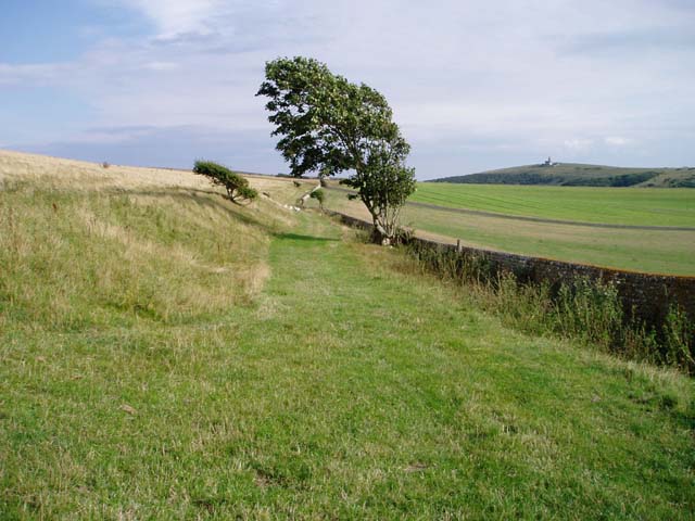
Long Down, located in Sussex, England, is a prominent geographical feature that encompasses a vast expanse of downs and moorland. Stretching across an area of approximately 10 square miles, it is a significant part of the South Downs National Park.
Long Down is characterized by its undulating landscape, with rolling hills and steep slopes providing breathtaking panoramic views of the surrounding countryside. The area is predominantly covered in a patchwork of grassland, heathland, and scrub, interspersed with pockets of woodland and scattered trees.
This diverse habitat supports a wide range of flora and fauna. The grasslands are particularly rich in wildflowers, including orchids, harebells, and cowslips, attracting a variety of butterflies and bees. The heathlands are home to several species of heather, gorse, and bilberry, providing a vital habitat for ground-nesting birds such as the stonechat and the skylark.
Long Down also boasts an array of archaeological and historical features. Ancient burial mounds, known as barrows, can be found scattered across the landscape, dating back to the Bronze Age. The area has also been inhabited since prehistoric times, with evidence of Iron Age settlements and Roman activity.
The downs and moorland of Long Down offer a plethora of recreational opportunities. Walking and hiking trails crisscross the area, allowing visitors to explore the diverse landscape and appreciate its natural beauty. The open spaces are also popular for activities such as picnicking, birdwatching, and photography.
Overall, Long Down, Sussex, is a captivating and ecologically significant area, offering a unique blend of natural beauty, rich history, and recreational opportunities.
If you have any feedback on the listing, please let us know in the comments section below.
Long Down Images
Images are sourced within 2km of 50.74952/0.23233556 or Grid Reference TV5796. Thanks to Geograph Open Source API. All images are credited.


Long Down is located at Grid Ref: TV5796 (Lat: 50.74952, Lng: 0.23233556)
Administrative County: East Sussex
District: Eastbourne
Police Authority: Sussex
What 3 Words
///texted.swoop.held. Near Friston, East Sussex
Nearby Locations
Related Wikis
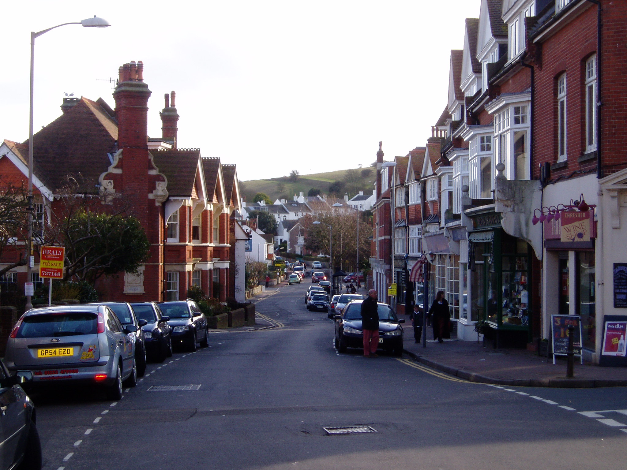
Meads
Meads is an area of the town of Eastbourne in the English county of East Sussex. It is situated at the westerly end of the town below the South Downs....

Action of 2 May 1707
The action of 2 May 1707, also known as Beachy Head, was a naval battle of the War of the Spanish Succession in which a French squadron under Claude de...
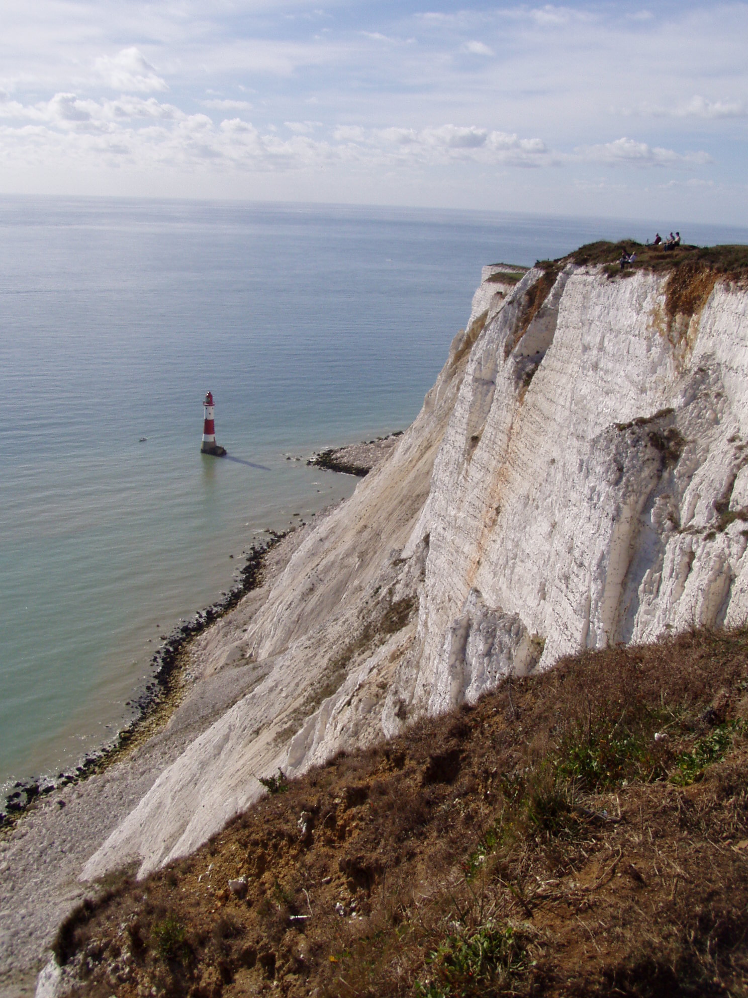
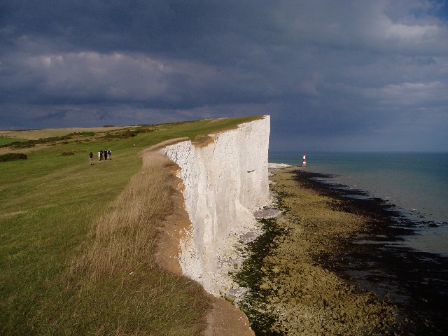
Beachy Head
Beachy Head is a chalk headland in East Sussex, England. It is situated close to Eastbourne, immediately east of the Seven Sisters. Beachy Head is located...
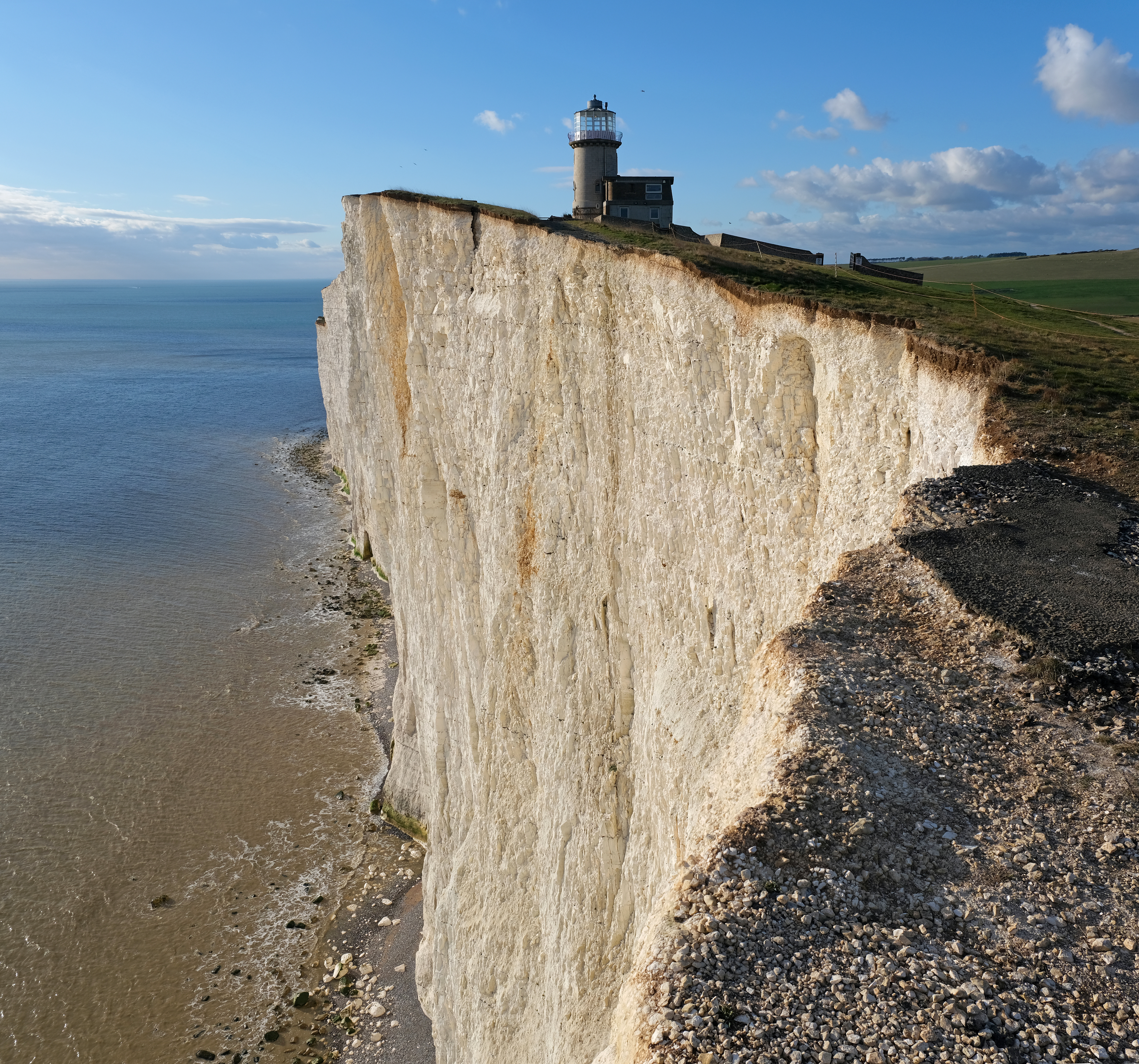
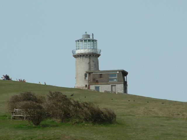
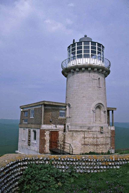
Belle Tout Lighthouse
The Belle Tout Lighthouse (also spelled Belle Toute) is a decommissioned lighthouse and British landmark located at Beachy Head, East Sussex, close to...

Seven Sisters Sheep Centre
The Seven Sisters Sheep Centre was a farm near East Dean, in the Seven Sisters Country Park of the South Downs. It held a large collection of about 50...

Murder of Jessie Earl
Jessie Earl (16 December 1957 – between 15 and 18 May 1980) was a 22-year-old student who disappeared from Eastbourne, England in May 1980. It was not...

RAF Beachy Head
RAF Beachy Head is a former Royal Air Force radar station and one of the many Chain Home Low radar stations, being situated near Beachy Head and Eastbourne...

Beachy Head Lighthouse
Beachy Head Lighthouse is a lighthouse located in the English Channel below the cliffs of Beachy Head in East Sussex. It is 33 m (108 ft) in height and...
Nearby Amenities
Located within 500m of 50.74952,0.23233556Have you been to Long Down?
Leave your review of Long Down below (or comments, questions and feedback).