Blakes Green
Downs, Moorland in Kent Sevenoaks
England
Blakes Green

Blakes Green is a picturesque area located in the county of Kent, England. Situated amidst the scenic Downs and Moorland, this tranquil landscape offers a captivating mix of natural beauty and rural charm.
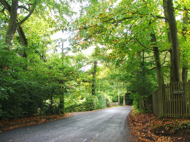
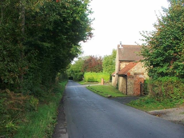
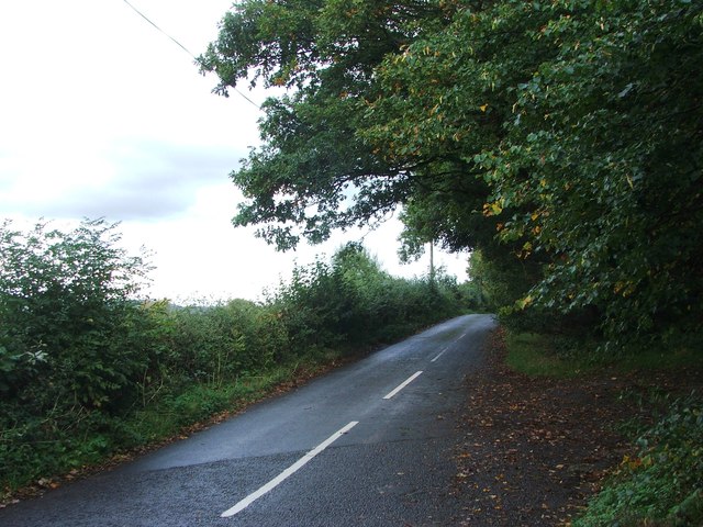
The Downs surrounding Blakes Green are characterized by rolling hills, lush meadows, and stunning panoramic views. These open spaces provide an ideal setting for outdoor activities such as hiking, horseback riding, and picnicking. The area is also known for its diverse wildlife, including rare bird species and unique flora.
In contrast, the Moorland in Blakes Green showcases a more rugged and wild environment. Here, visitors can witness dramatic landscapes with heather-covered hills, rocky outcrops, and expansive moors. The Moorland is a paradise for nature enthusiasts, offering opportunities for birdwatching, nature walks, and photography.
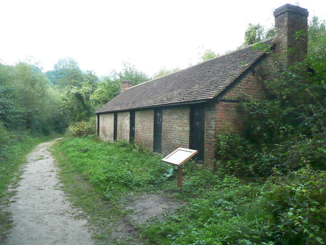
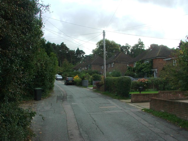
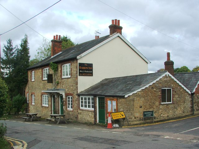
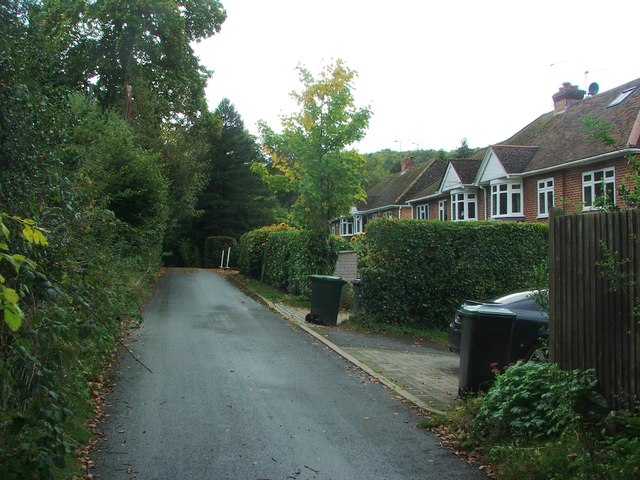
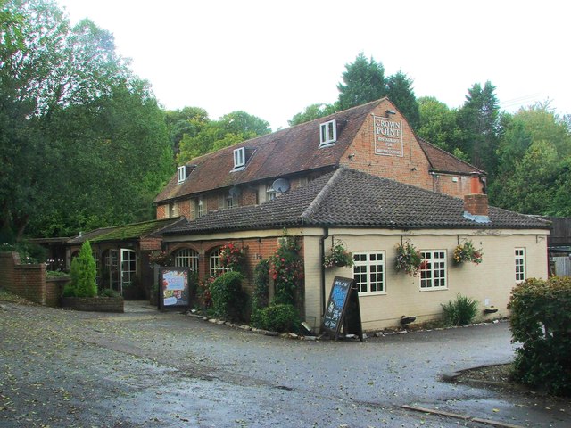
Blakes Green itself is a small, picturesque village nestled within this stunning natural backdrop. The village exudes a sense of tranquility, with its charming cottages, well-maintained gardens, and friendly community. There are a few local amenities, including a village pub and a small convenience store, catering to the needs of both residents and visitors.
Overall, Blakes Green provides a unique opportunity to escape the hustle and bustle of city life and immerse oneself in the beauty of the English countryside. Whether it is exploring the Downs, discovering the Moorland, or simply enjoying the peaceful atmosphere of the village, Blakes Green offers a serene and idyllic retreat for nature lovers and those seeking a break from the urban chaos.
If you have any feedback on the listing, please let us know in the comments section below.
Blakes Green Images
Images are sourced within 2km of 51.273007/0.24768186 or Grid Reference TQ5655. Thanks to Geograph Open Source API. All images are credited.


Blakes Green is located at Grid Ref: TQ5655 (Lat: 51.273007, Lng: 0.24768186)
Administrative County: Kent
District: Sevenoaks
Police Authority: Kent
What 3 Words
///spare.radio.hogs. Near Kemsing, Kent
Nearby Locations
Related Wikis

Oldbury and Seal Chart
Oldbury and Seal Chart is a 212.4-hectare (525-acre) biological Site of Special Scientific Interest east of Sevenoaks in Kent, England. It is in the Kent...

Oldbury Camp
Oldbury Camp (also known as Oldbury hill fort) is the largest Iron Age hill fort in south-eastern England. It was built in the 1st century BC by Celtic...

Seal Chart
Seal Chart is a village 2 miles (3 km) east of Sevenoaks in Kent, England. It is within the Sevenoaks local government district. It is in the civil parish...
Sevenoaks Preparatory School
Sevenoaks Prep School is a co-educational, day preparatory school for 385 pupils aged 2–13 in Sevenoaks in south-east England. The school is situated on...

One Tree Hill and Bitchet Common
One Tree Hill and Bitchet Common is a 79.2-hectare (196-acre) biological Site of Special Scientific Interest east of Sevenoaks in Kent. It is in Kent Downs...
Godden Green
Godden Green is a hamlet 1 mile (2 km) east of Sevenoaks in Kent, England. It is within the civil parish of Seal, in Sevenoaks District, on the eastern...

Ivy Hatch Nature Reserve
Ivy Hatch Nature Reserve in Ivy Hatch, north of Tonbridge in Kent, is a 0.5-hectare (1.2-acre) reserve managed by the Kent Wildlife Trust.Several streams...

Oldbury rock shelters
The Oldbury rock shelters are a complex of Middle Palaeolithic sites situated on the slopes of Oldbury hillfort near Ightham in the English county of Kent...
Nearby Amenities
Located within 500m of 51.273007,0.24768186Have you been to Blakes Green?
Leave your review of Blakes Green below (or comments, questions and feedback).