Front Park
Downs, Moorland in Essex Brentwood
England
Front Park
The requested URL returned error: 429 Too Many Requests
If you have any feedback on the listing, please let us know in the comments section below.
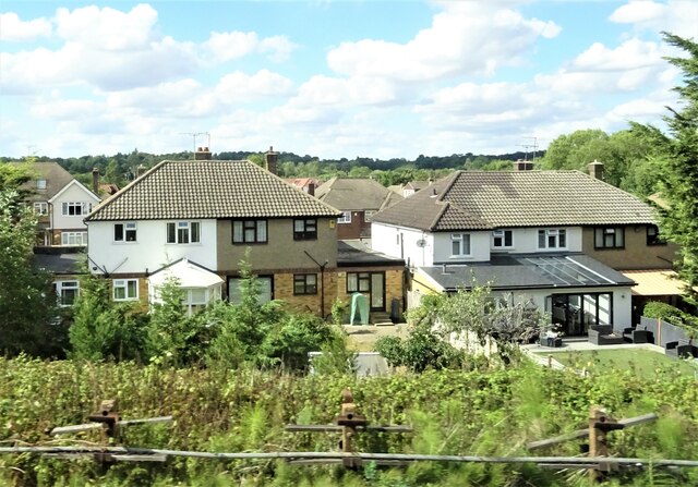
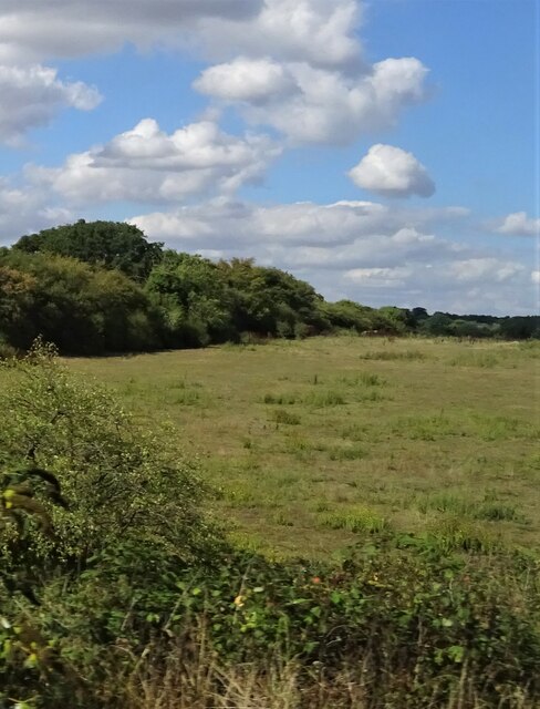
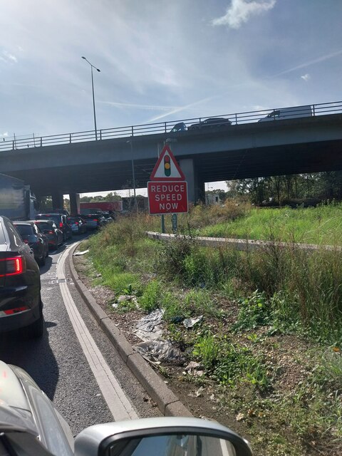
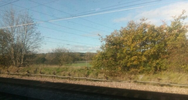
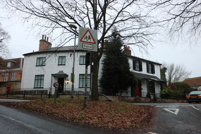
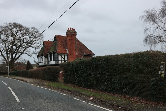
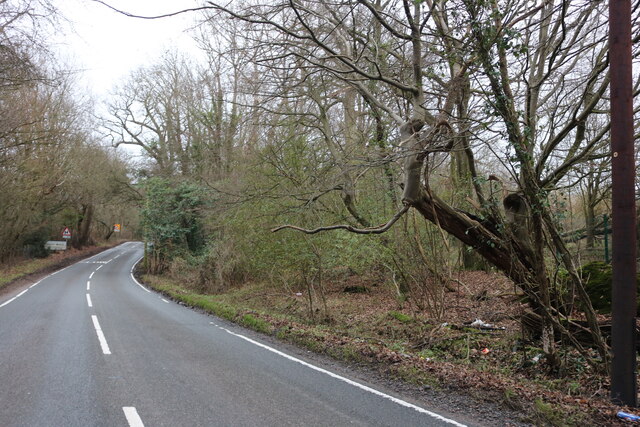
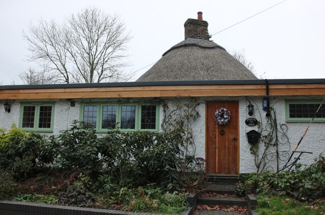
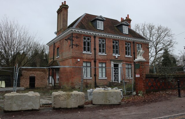
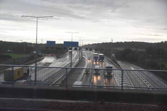
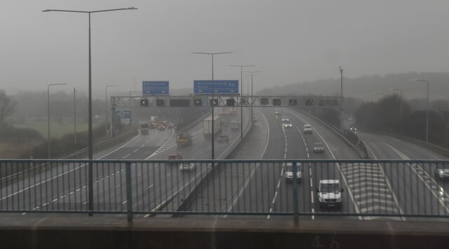
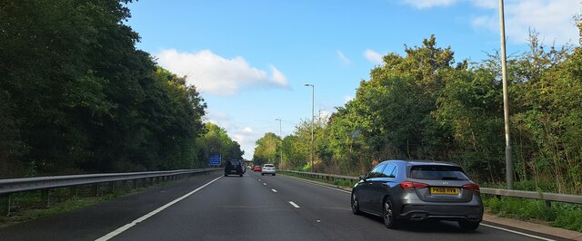
Front Park Images
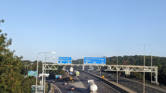
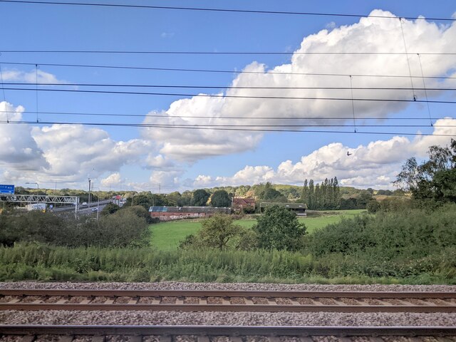
Images are sourced within 2km of 51.617503/0.25949321 or Grid Reference TQ5693. Thanks to Geograph Open Source API. All images are credited.


Front Park is located at Grid Ref: TQ5693 (Lat: 51.617503, Lng: 0.25949321)
Administrative County: Essex
District: Brentwood
Police Authority: Essex
What 3 Words
///dates.wiped.powers. Near Harold Wood, London
Nearby Locations
Related Wikis
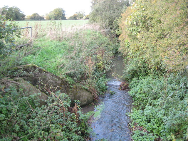
Weald Brook
Weald Brook is a water course in the parliamentary constituency of Hornchurch and Upminster. Weald Brook flows into the River Ingrebourne. Weald Brook...

South Weald
South Weald is a mainly farmland and park settlement and former civil parish, on the western edge of Brentwood, in the Brentwood district, in Essex, England...

Weald Country Park
Weald Country Park is a 700-year-old, 500 acre (2 km²) country park in South Weald in the borough of Brentwood in the English county of Essex. It is on...

St Vincent's Hamlet
St Vincent's Hamlet is a hamlet in the Borough of Brentwood, in the county of Essex, England. It is located about three miles away from the town of Brentwood...
Nearby Amenities
Located within 500m of 51.617503,0.25949321Have you been to Front Park?
Leave your review of Front Park below (or comments, questions and feedback).