Barway Fen
Downs, Moorland in Cambridgeshire East Cambridgeshire
England
Barway Fen

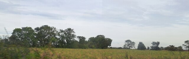
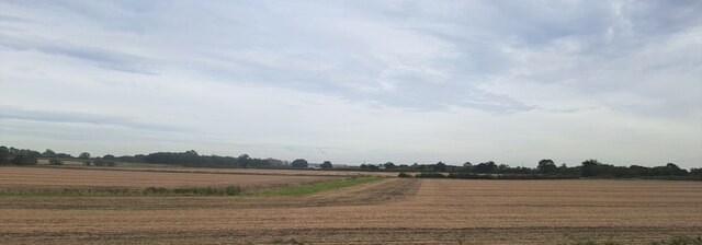
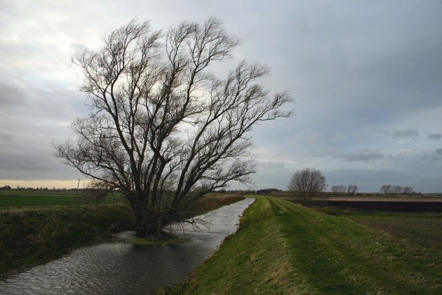
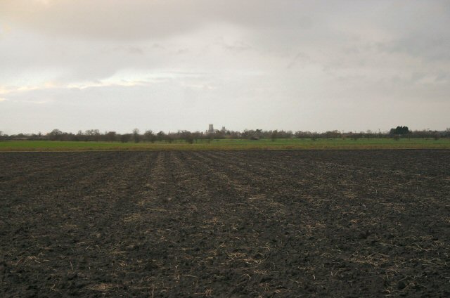
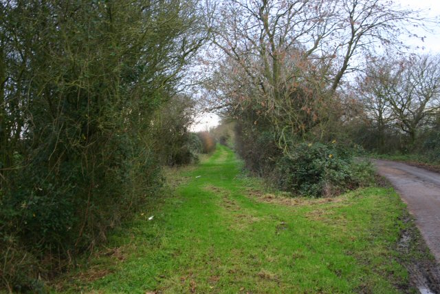
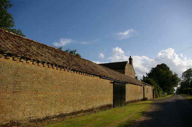
Barway Fen is a vast and picturesque nature reserve located in the county of Cambridgeshire, England. Stretching across an expansive area, this fenland region offers a diverse and enchanting landscape that includes downs and moorland.
The fenland in Barway Fen is characterized by its rich and fertile soil, which supports a variety of plant species, including reeds, sedges, and grasses. The area is also home to an array of wildlife, such as water voles, otters, and numerous bird species, making it a haven for nature enthusiasts and birdwatchers.
The downs in Barway Fen provide a contrasting landscape, with rolling hills covered in heather and gorse. These open spaces offer breathtaking panoramic views of the surrounding countryside, making them a popular spot for hikers and nature lovers.
Moorland is another distinct feature of Barway Fen, with its wild and rugged terrain. This area is covered in heath and peat, creating a unique ecosystem that supports a variety of plants, including heather, cotton grass, and bilberry. Moorland in Barway Fen also serves as a habitat for several bird species, such as curlews and lapwings.
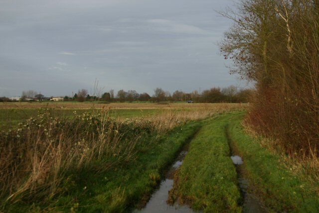
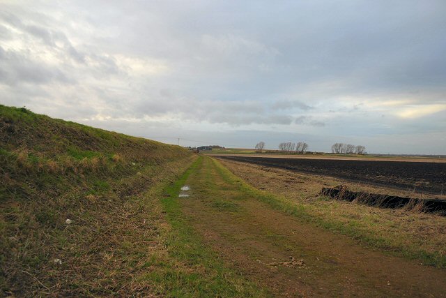
Visitors to Barway Fen can explore the reserve through a network of well-maintained trails, allowing them to experience the beauty and tranquility of this natural wonderland. Whether it's observing wildlife, enjoying breathtaking views, or simply immersing oneself in the peaceful ambiance, Barway Fen offers a captivating experience for all who venture into its diverse and captivating landscape.
If you have any feedback on the listing, please let us know in the comments section below.
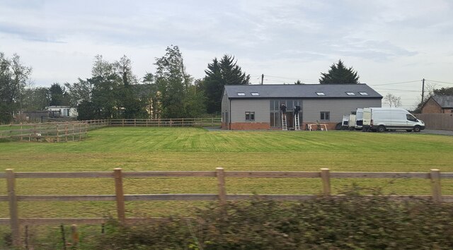
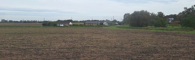
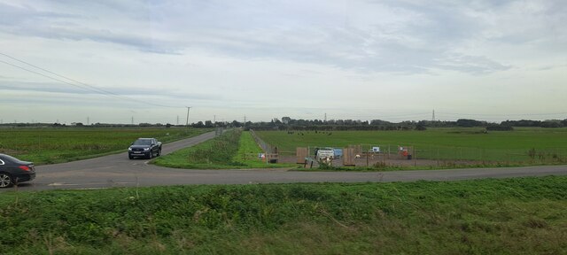
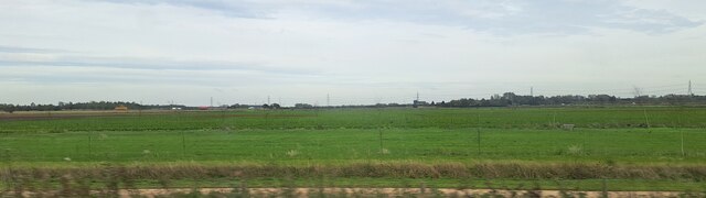
Barway Fen Images
Images are sourced within 2km of 52.355127/0.29653855 or Grid Reference TL5675. Thanks to Geograph Open Source API. All images are credited.
Barway Fen is located at Grid Ref: TL5675 (Lat: 52.355127, Lng: 0.29653855)
Administrative County: Cambridgeshire
District: East Cambridgeshire
Police Authority: Cambridgeshire
What 3 Words
///functions.noodle.widest. Near Soham, Cambridgeshire
Nearby Locations
Related Wikis

Delph Bridge Drain
Delph Bridge Drain is a 0.15-hectare (0.37-acre) biological Site of Special Scientific Interest north-west of Soham in Cambridgeshire.This site has the...

Barway
Barway is a hamlet in Cambridgeshire, England, about three miles south of Ely. It is on Soham Lode, which flows into the River Cam. The population is included...

Stuntney
Stuntney is a village in East Cambridgeshire, located between Ely and Soham. It is just off the main road going from Newmarket to Ely, the A142. ��2�...
River Granta
The River Granta is the name of two of the four tributaries of the River Cam, although both names are often used synonymously. The Granta starts near the...

Soham Town Rangers F.C.
Soham Town Rangers Football Club is an English football club based in Soham, Cambridgeshire. The club are currently members of the Eastern Counties League...

River Cam
The River Cam () is the main river flowing through Cambridge in eastern England. After leaving Cambridge, it flows north and east before joining the River...

Soham rail disaster
The Soham rail disaster occurred on 2 June 1944, during the Second World War, when a fire developed on the leading wagon of a heavy ammunition train....
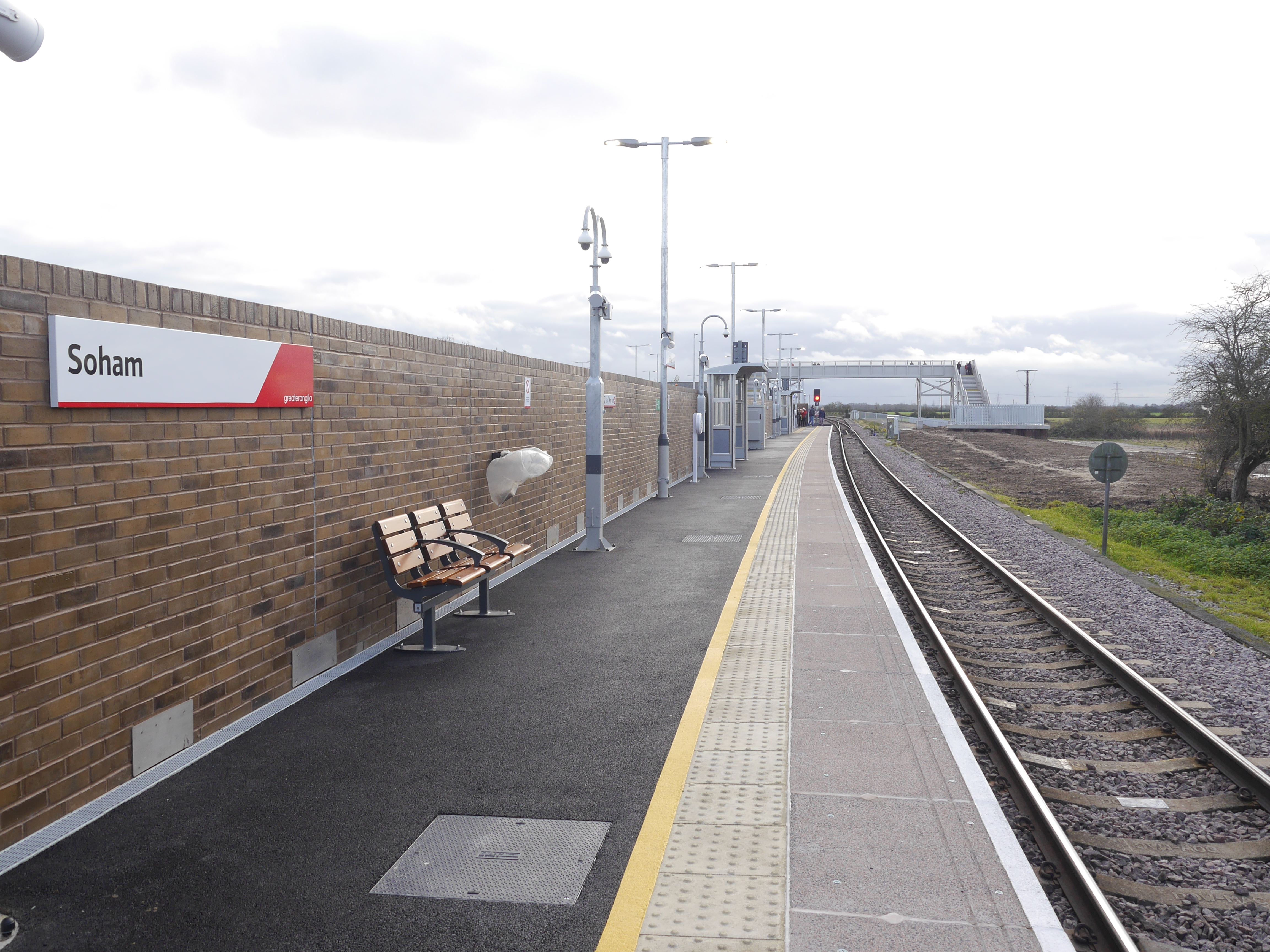
Soham railway station
Soham railway station is a station on the Ipswich–Ely line, serving the town of Soham in Cambridgeshire. The original station operated between 1879 and...
Nearby Amenities
Located within 500m of 52.355127,0.29653855Have you been to Barway Fen?
Leave your review of Barway Fen below (or comments, questions and feedback).