Read's Fen

Downs, Moorland in Norfolk King's Lynn and West Norfolk

England

Read's Fen

Arable land by the Old Bedford River Looking across towards the raised bank of the New Bedford River and Welmore Lake Sluice at the northern end of the Ouse Washes.
Arable land by the Old Bedford River Credit: Hugh Venables

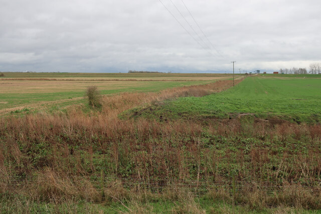
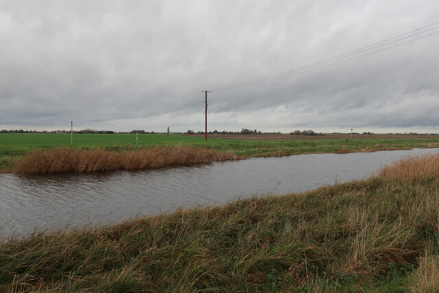
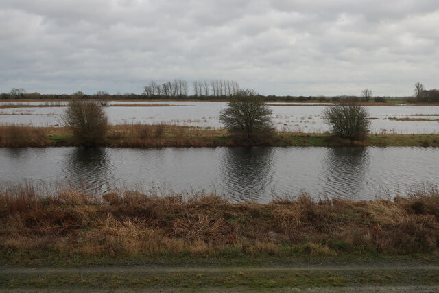
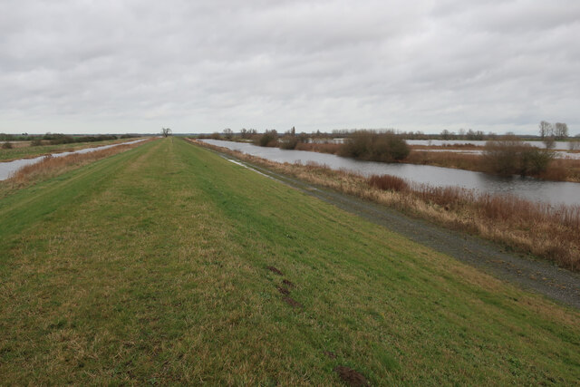
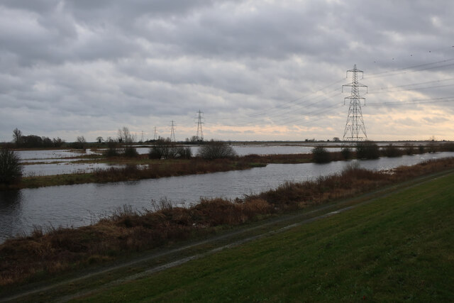
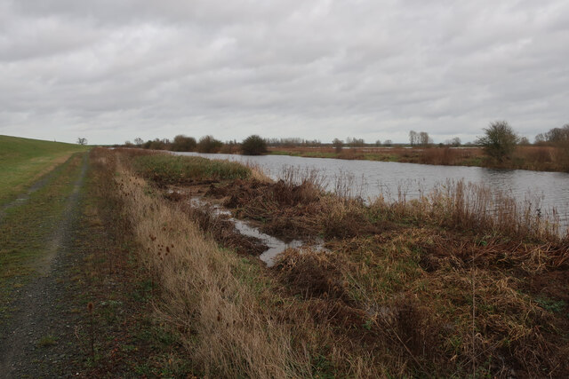
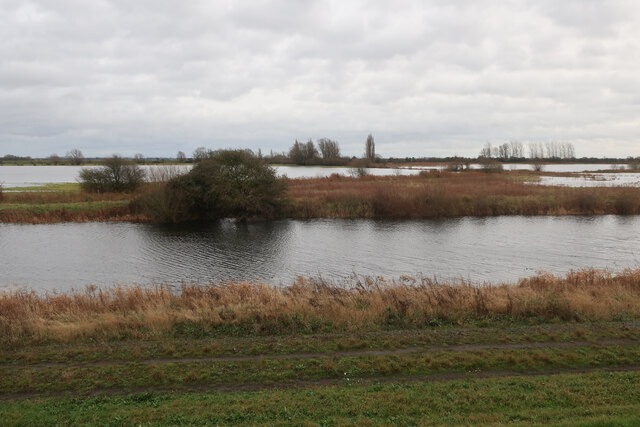
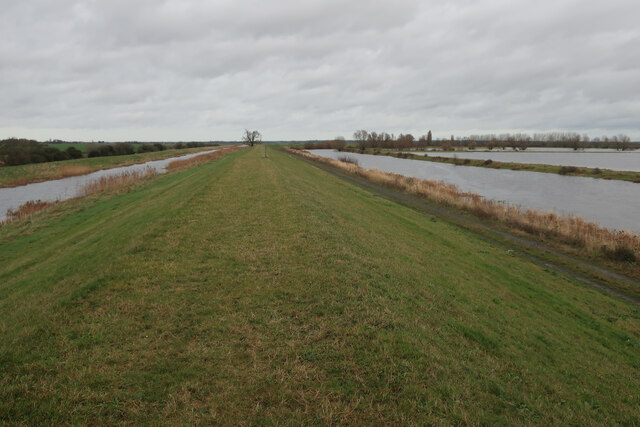
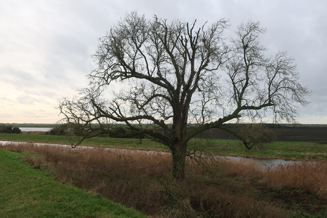
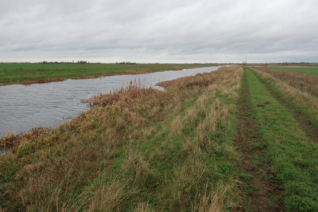
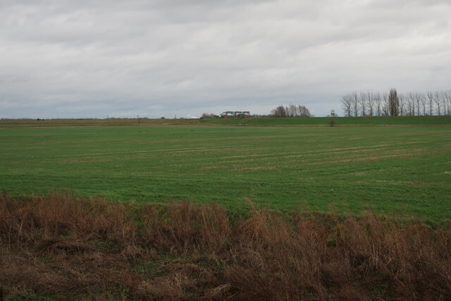
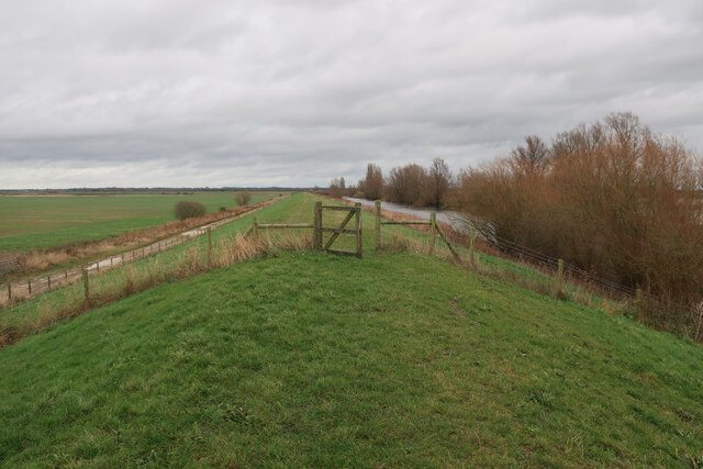
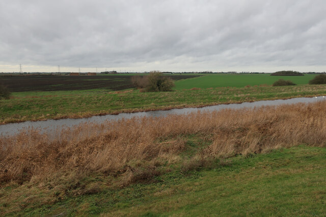
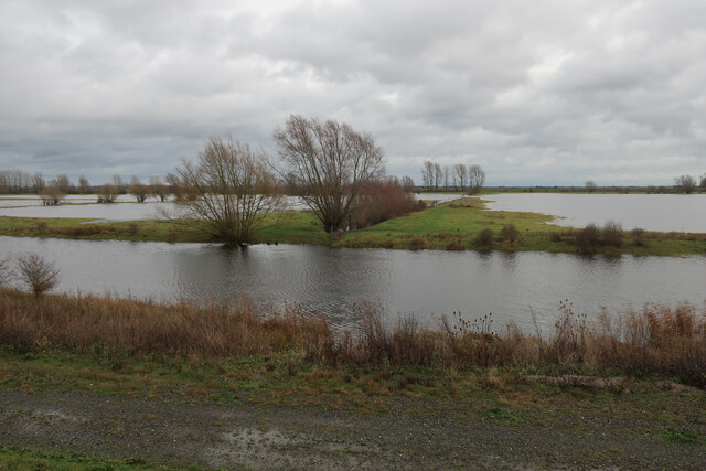
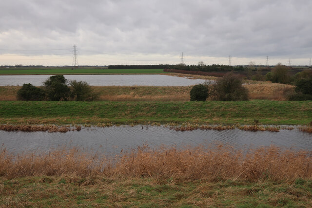
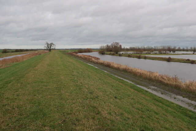
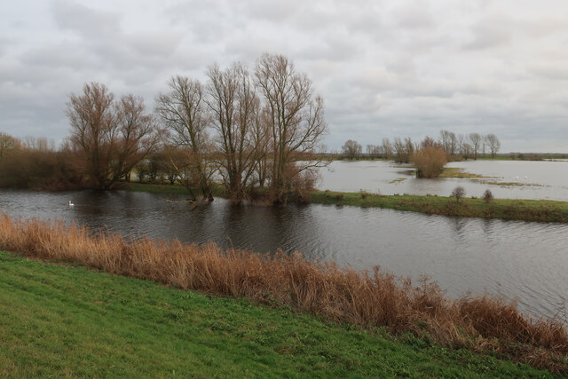
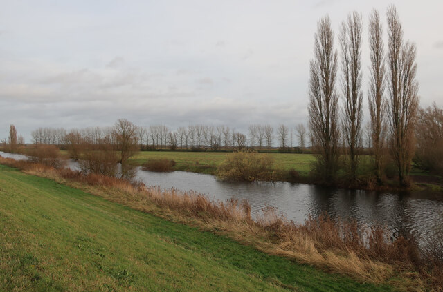
Read's Fen is a beautiful nature reserve located in Norfolk, England. It is a diverse landscape that includes downs, moorland, and wetlands, making it a haven for a wide variety of plant and animal species.

The fen is home to rare and endangered species such as the fen violet and the fen raft spider. It is also a popular destination for birdwatchers, as it attracts a wide range of bird species throughout the year.

Visitors to Read's Fen can explore the network of walking trails that wind through the reserve, offering stunning views of the surrounding countryside. The fen is also a great place for picnicking, wildlife spotting, and enjoying the peace and quiet of nature.

The reserve is managed by the Norfolk Wildlife Trust, which works to protect and preserve the unique habitats found at Read's Fen. They also offer educational programs and guided walks to help visitors learn more about the flora and fauna that call this special place home.

Overall, Read's Fen is a hidden gem in Norfolk, offering a peaceful retreat for nature lovers and a chance to experience the beauty of the English countryside up close.

If you have any feedback on the listing, please let us know in the comments section below.

Read's Fen Images

Images are sourced within 2km of 52.550559/0.30658362 or Grid Reference TL5697. Thanks to Geograph Open Source API. All images are credited.

Arable land by the Old Bedford River Looking across towards the raised bank of the New Bedford River and Welmore Lake Sluice at the northern end of the Ouse Washes.
Arable land by the Old Bedford River
Looking across towards the raised bank of the New Bedford River and Welmore Lake Sluice at the northern end of the Ouse Washes.
Power lines crossing Old Bedford River Carrying electricity to the pumping station at Welmore Lake Sluice.
Power lines crossing Old Bedford River
Carrying electricity to the pumping station at Welmore Lake Sluice.
High water levels in Ouse Washes Plenty of water in the washland after heavy rain over the Christmas period, especially upstream of Fens in the Great Ouse catchment.
High water levels in Ouse Washes
Plenty of water in the washland after heavy rain over the Christmas period, especially upstream of Fens in the Great Ouse catchment.
Bridleway along Old Bedford Barrier Bank Near the north end of the Ouse Washes.
Bridleway along Old Bedford Barrier Bank
Near the north end of the Ouse Washes.
Power lines across the Ouse Washes The top cable has balls to make it more visible to ducks and swans. Not sure why there aren't any on the section across the actual washes.
Power lines across the Ouse Washes
The top cable has balls to make it more visible to ducks and swans. Not sure why there aren't any on the section across the actual washes.
Track by River Delph Near the north end of the Ouse Washes.
Track by River Delph
Near the north end of the Ouse Washes.
North end of Ouse Washes With fairly high water levels after a wet Christmas period, especially in the upper catchment of the Great Ouse.
North end of Ouse Washes
With fairly high water levels after a wet Christmas period, especially in the upper catchment of the Great Ouse.
Bridleway along Old Bedford Barrier Bank Near the north end of the Ouse Washes.
Bridleway along Old Bedford Barrier Bank
Near the north end of the Ouse Washes.
Tree by Old Bedford River Where the Old Bedford Barrier Bank finally bends right towards the New Bedford River.
Tree by Old Bedford River
Where the Old Bedford Barrier Bank finally bends right towards the New Bedford River.
Bridleway by the Old Bedford River The Old Bedford River is discontinuosly named, with it being used as the name for the counterwash drain north of Welches Dam.
Bridleway by the Old Bedford River
The Old Bedford River is discontinuosly named, with it being used as the name for the counterwash drain north of Welches Dam.
Field by Welmore Lake Sluice Outside the high flood banks at the north end of the Ouse Washes.
Field by Welmore Lake Sluice
Outside the high flood banks at the north end of the Ouse Washes.
Bridleway to Welmore Lake Sluice Along the raised bank across the north end of the Ouse Washes.
Bridleway to Welmore Lake Sluice
Along the raised bank across the north end of the Ouse Washes.
Fields by Old Bedford River
Northern end of Ouse Washes With fairly high water levels.
Northern end of Ouse Washes
With fairly high water levels.
Farm reservoir by the Ouse Washes
Bridleway along Old Bedford Barrier Bank At the north end of the Ouse Washes.
Bridleway along Old Bedford Barrier Bank
At the north end of the Ouse Washes.
North end of the Ouse Washes
River Delph at north end of the Ouse Washes Cutting across the line of the washes towards Welmore Lake Sluice.
River Delph at north end of the Ouse Washes
Cutting across the line of the washes towards Welmore Lake Sluice.
Show me another place!

Read's Fen is located at Grid Ref: TL5697 (Lat: 52.550559, Lng: 0.30658362)

Administrative County: Norfolk

District: King's Lynn and West Norfolk

Police Authority: Norfolk

What 3 Words

///laptop.increases.form. Near Southery, Norfolk

Nearby Locations

Read's Fen

Related Wikis

Hilgay railway station

Hilgay railway station was a station in Hilgay, Norfolk, United Kingdom which is now closed. It was on the Fen Line between King's Lynn and Cambridge....

River Wissey

The River Wissey is a river in Norfolk, eastern England. It rises near Bradenham, and flows for nearly 31 miles (50 km) to join the River Great Ouse at...

Ouse Bridge railway station

Ouse Bridge railway station was a railway station in Norfolk, England. == History == The Lynn and Ely Railway (L&ER) had opened between King's Lynn and...

Nordelph

Nordelph is a civil parish near Downham Market in the English county of Norfolk. The parish covers an area of 16.57 km2 (6.40 sq mi) and had a population...

Nearby Amenities

Located within 500m of 52.550559,0.30658362
Power: pole
Lat/Long: 52.5489704/0.3043713
Power: pole
Lat/Long: 52.5510418/0.3069572
Power: pole
Lat/Long: 52.5482122/0.3035052
Power: pole
Lat/Long: 52.5503015/0.3059913
Power: pole
Lat/Long: 52.5517807/0.3078783
Power: pole
Lat/Long: 52.5525177/0.3087947
The data included in this document is from www.openstreetmap.org. The data is made available under ODbL.

Have you been to Read's Fen?

Leave your review of Read's Fen below (or comments, questions and feedback).