Stow Bardolph Fen
Downs, Moorland in Norfolk King's Lynn and West Norfolk
England
Stow Bardolph Fen
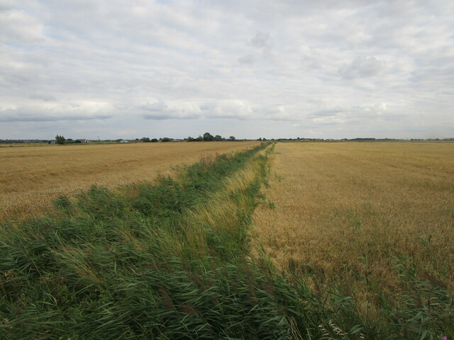
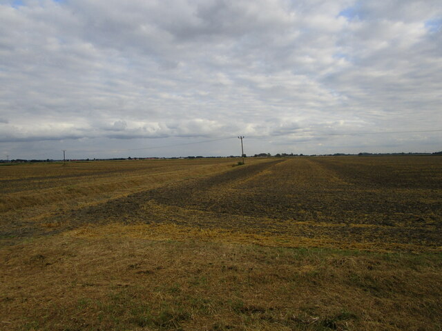
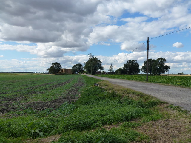
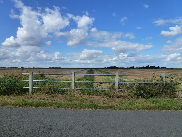
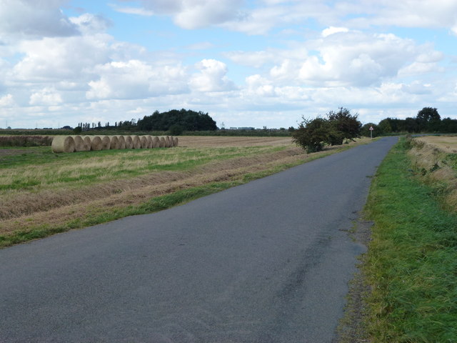
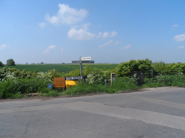
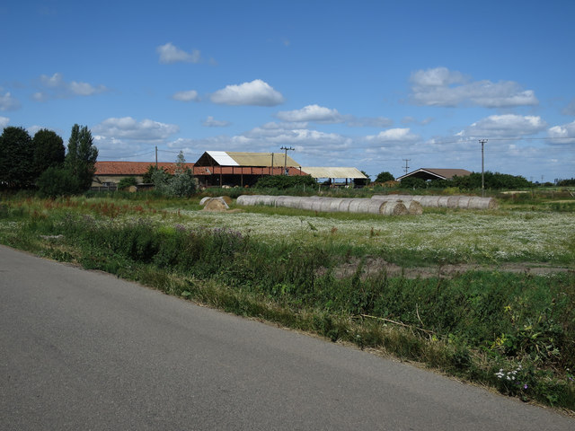
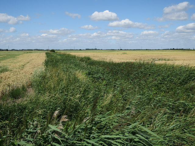
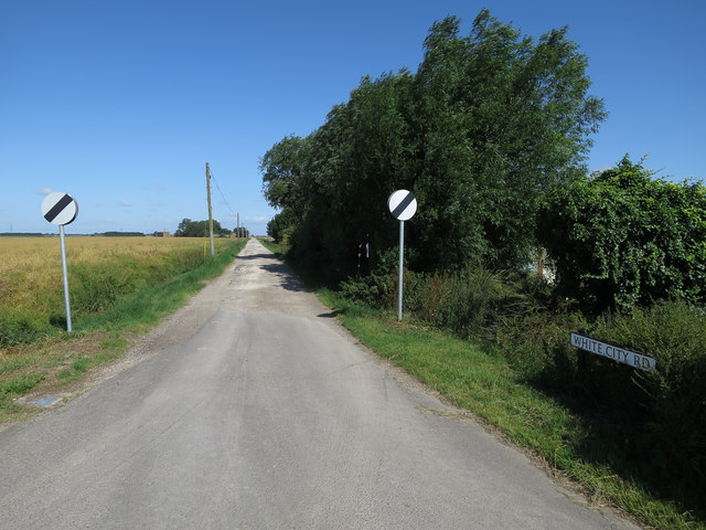
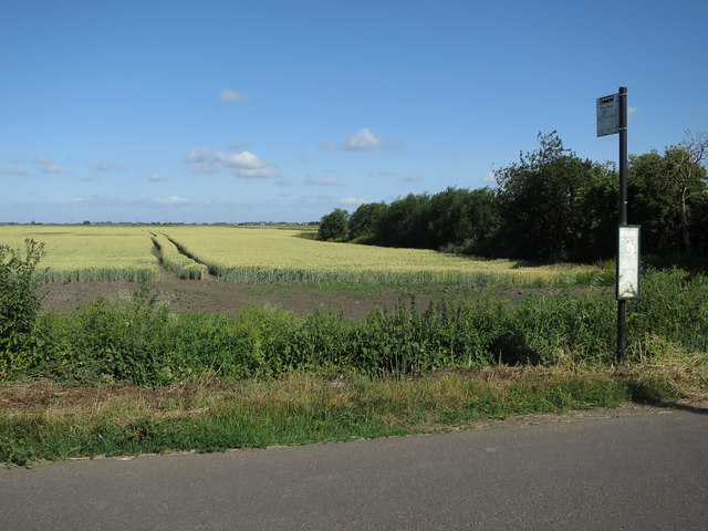
Stow Bardolph Fen, located in Norfolk, England, is a unique and picturesque area known for its diverse ecosystem and natural beauty. Covering a vast expanse of approximately 3,000 acres, the fen consists of low-lying marshland, meadows, and wetlands, making it an important habitat for various plant and animal species.
The fen is characterized by its rich and fertile soil, which supports a wide range of vegetation, including reeds, sedges, and rare plants such as the fen orchid. These plants provide a vital food source and shelter for numerous bird species, including the bittern, marsh harrier, and bearded tit.
Stow Bardolph Fen is also home to an abundance of wetland wildlife, such as water voles, otters, and various species of fish. The wetland habitat provides the perfect conditions for these animals to thrive, offering ample food and shelter.
Aside from its ecological significance, the fen is a popular destination for birdwatchers and nature enthusiasts. Visitors can explore the fen's network of walking trails and observation points, which offer stunning panoramic views of the surrounding landscape and the opportunity to spot rare and migratory bird species.
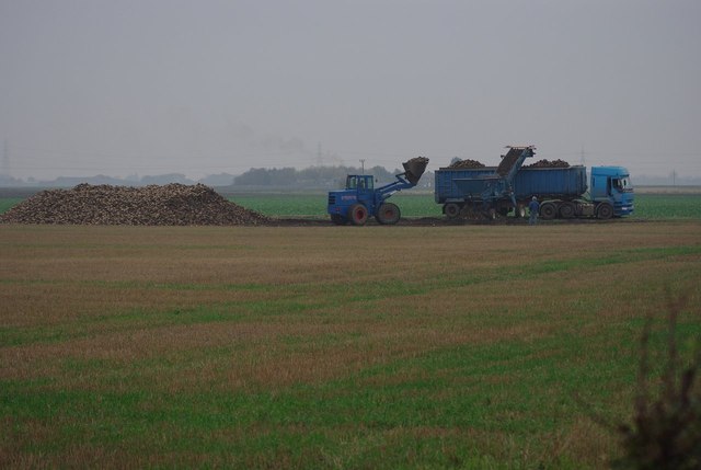
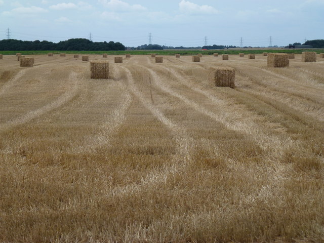
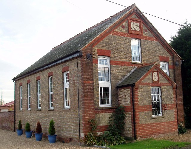
In addition to its natural beauty, Stow Bardolph Fen is also of historic importance. The area has evidence of human habitation dating back to the Iron Age, and remnants of ancient settlements can still be found. The fen has also played a role in agriculture, with traditional farming practices still being carried out in the area today.
Overall, Stow Bardolph Fen is a remarkable and diverse natural landscape that offers a unique opportunity to explore and appreciate the beauty of Norfolk's countryside.
If you have any feedback on the listing, please let us know in the comments section below.
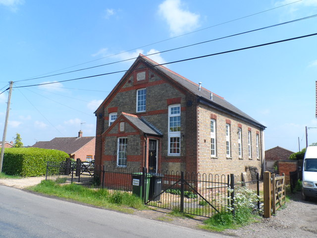
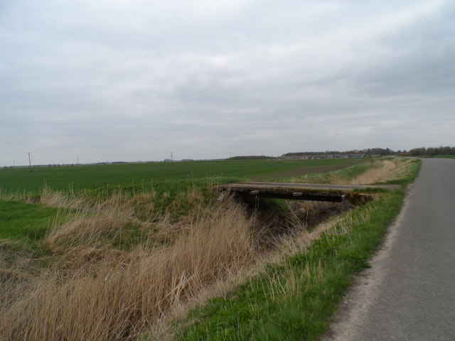
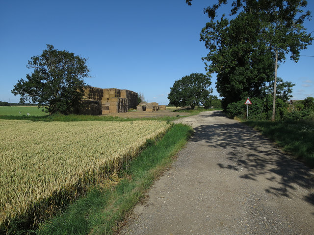
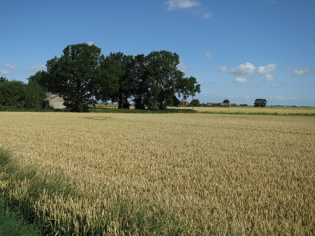
Stow Bardolph Fen Images
Images are sourced within 2km of 52.608844/0.30146325 or Grid Reference TF5503. Thanks to Geograph Open Source API. All images are credited.
Stow Bardolph Fen is located at Grid Ref: TF5503 (Lat: 52.608844, Lng: 0.30146325)
Administrative County: Norfolk
District: King's Lynn and West Norfolk
Police Authority: Norfolk
What 3 Words
///hairspray.incur.bricks. Near Outwell, Norfolk
Nearby Locations
Related Wikis
Barroway Drove
Barroway Drove is a village in the parish of Stow Bardolph in Norfolk, England. For the purposes of local government, it falls within the district of King...

Downham West
Downham West is a civil parish in the English county of Norfolk The parish is 47.6 miles (76.6 km) west of Norwich, 16.3 miles (26.2 km) south-south-west...

Nordelph
Nordelph is a civil parish near Downham Market in the English county of Norfolk. The parish covers an area of 16.57 km2 (6.40 sq mi) and had a population...

Molycourt Priory
The Priory of St Mary de Bello Loco, commonly referred to as Molycourt Priory, was a small Benedictine priory located in the parish of Outwell, Norfolk...

Well Creek
Well Creek is a waterway in Norfolk, England that is a tributary to the River Great Ouse. Rising from the River Nene, the waterway in its current alignment...

Downham Market railway station
Downham Market railway station (formerly Downham) is on the Fen line in the east of England, serving the town of Downham Market, Norfolk. It is 86 miles...

Outwell Village railway station
Outwell Village railway station was a station in Outwell, Norfolk on the Wisbech and Upwell Tramway. It opened in 1884 and closed to passengers in 1928...

Beaupré Hall
Beaupré Hall was a large 16th-century house mainly of brick, which was built by the Beaupres in Outwell, Norfolk, England and enlarged by their successors...
Nearby Amenities
Located within 500m of 52.608844,0.30146325Have you been to Stow Bardolph Fen?
Leave your review of Stow Bardolph Fen below (or comments, questions and feedback).