Muchfield Common

Downs, Moorland in Essex Uttlesford

England

Muchfield Common

Footpath White Roding 2 by Row Wood From Hatfield Broad Oak (as Hatfield Broad Oak 29) towards White Roding.
Footpath White Roding 2 by Row Wood Credit: Robin Webster

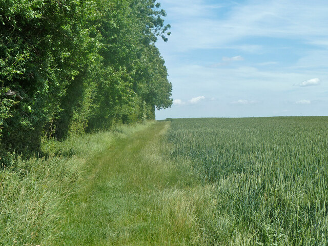
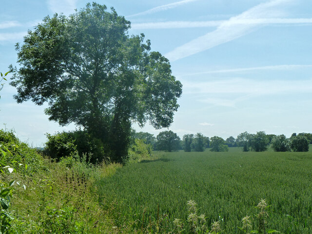
Muchfield Common is a vast expanse of open land located in Essex, England. Covering an area of approximately 500 acres, it is characterized by its diverse range of landscapes, including downs and moorland.

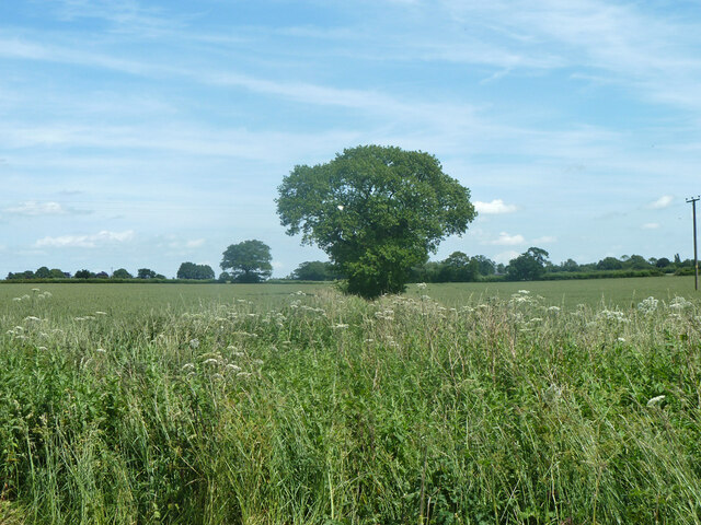
The common is known for its rich biodiversity, with a variety of plant and animal species calling it home. The downs are dominated by short grasses and heathland, creating a picturesque setting with rolling hills and panoramic views. This habitat supports several species of birds, including skylarks and meadow pipits, as well as a number of butterflies and insects.

Moving towards the moorland, the landscape changes to a mix of heather, gorse, and bracken. This area provides an ideal habitat for many ground-nesting birds, such as the stonechat and the Dartford warbler. Additionally, the moorland is home to a diverse range of reptiles, including adders and common lizards.

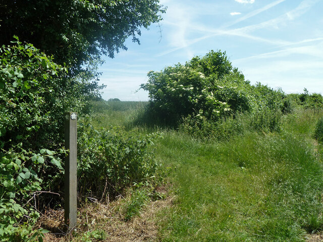
Muchfield Common is a popular destination for nature enthusiasts and outdoor enthusiasts alike. Its extensive network of footpaths and trails allows visitors to explore the area and observe its wildlife up close. The common also offers opportunities for picnicking, wildlife photography, and birdwatching.

Managed by the local authorities, Muchfield Common aims to preserve its natural beauty and protect its wildlife. Conservation efforts include controlled grazing to maintain the diversity of plant species and prevent the encroachment of invasive plants.

Overall, Muchfield Common is a natural haven in Essex, offering a unique combination of downs and moorland that attracts visitors with its scenic beauty and abundant wildlife.

If you have any feedback on the listing, please let us know in the comments section below.

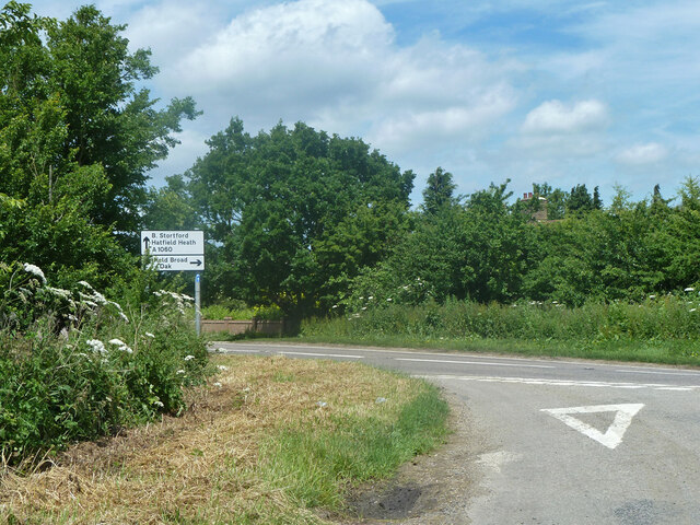
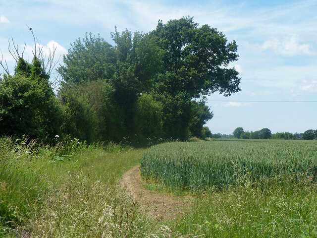
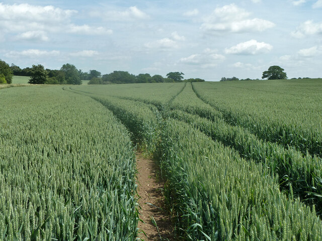
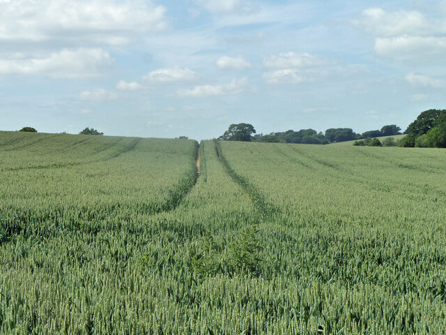
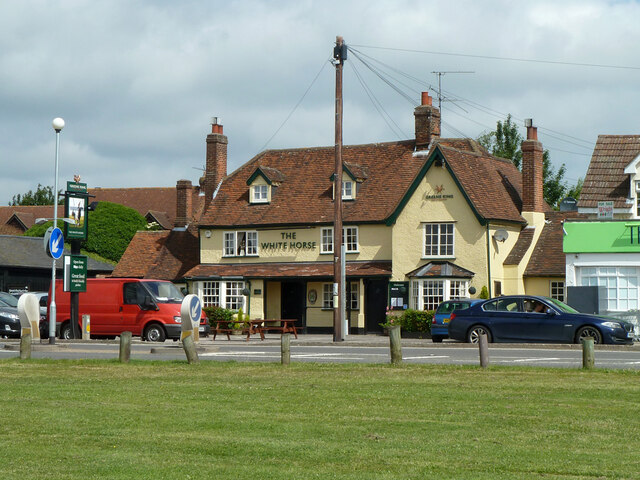
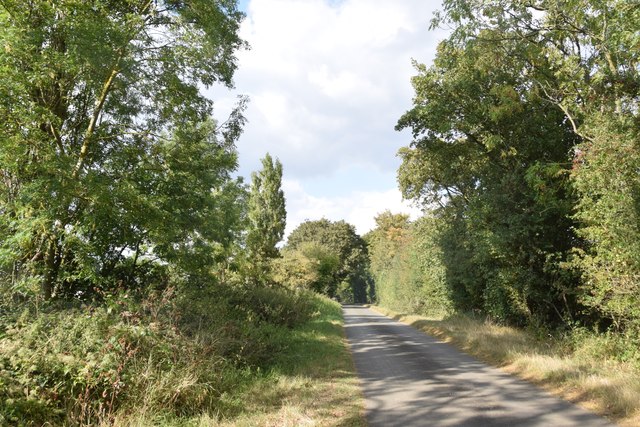
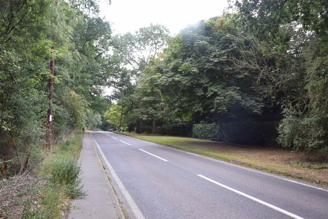
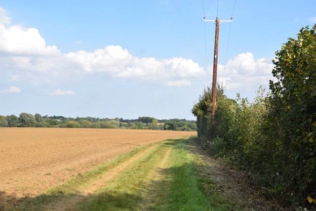
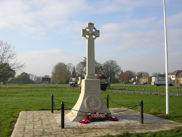
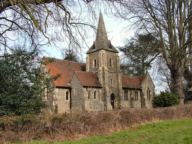
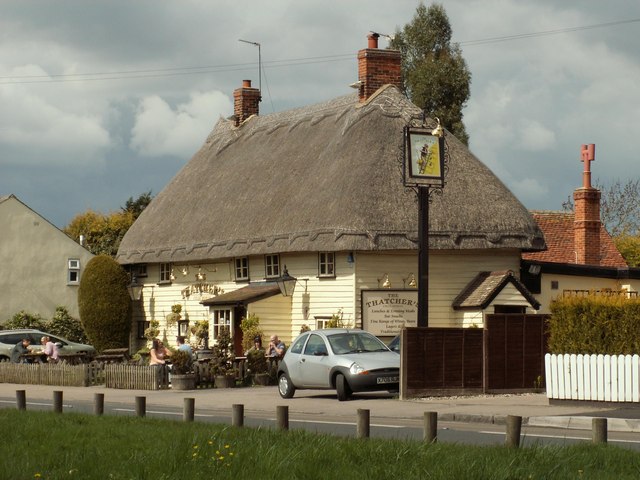
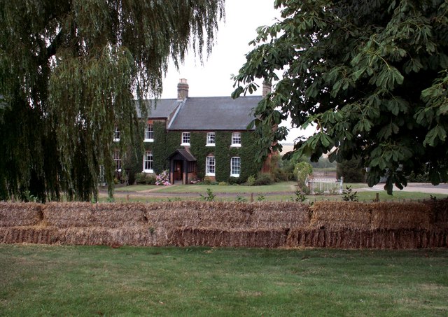
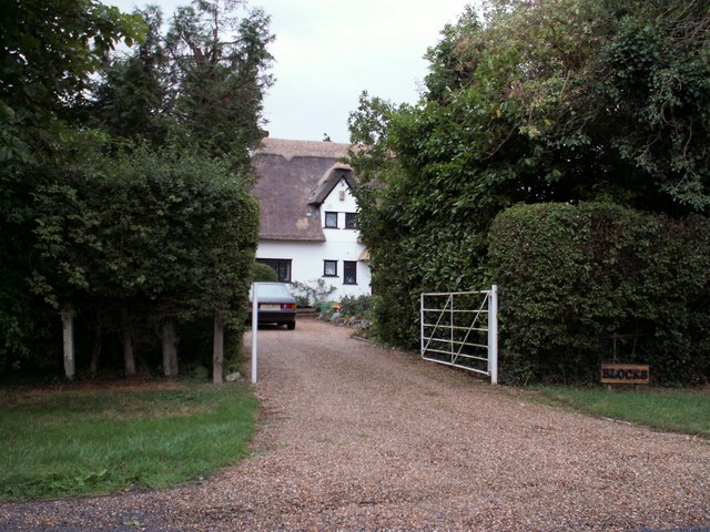
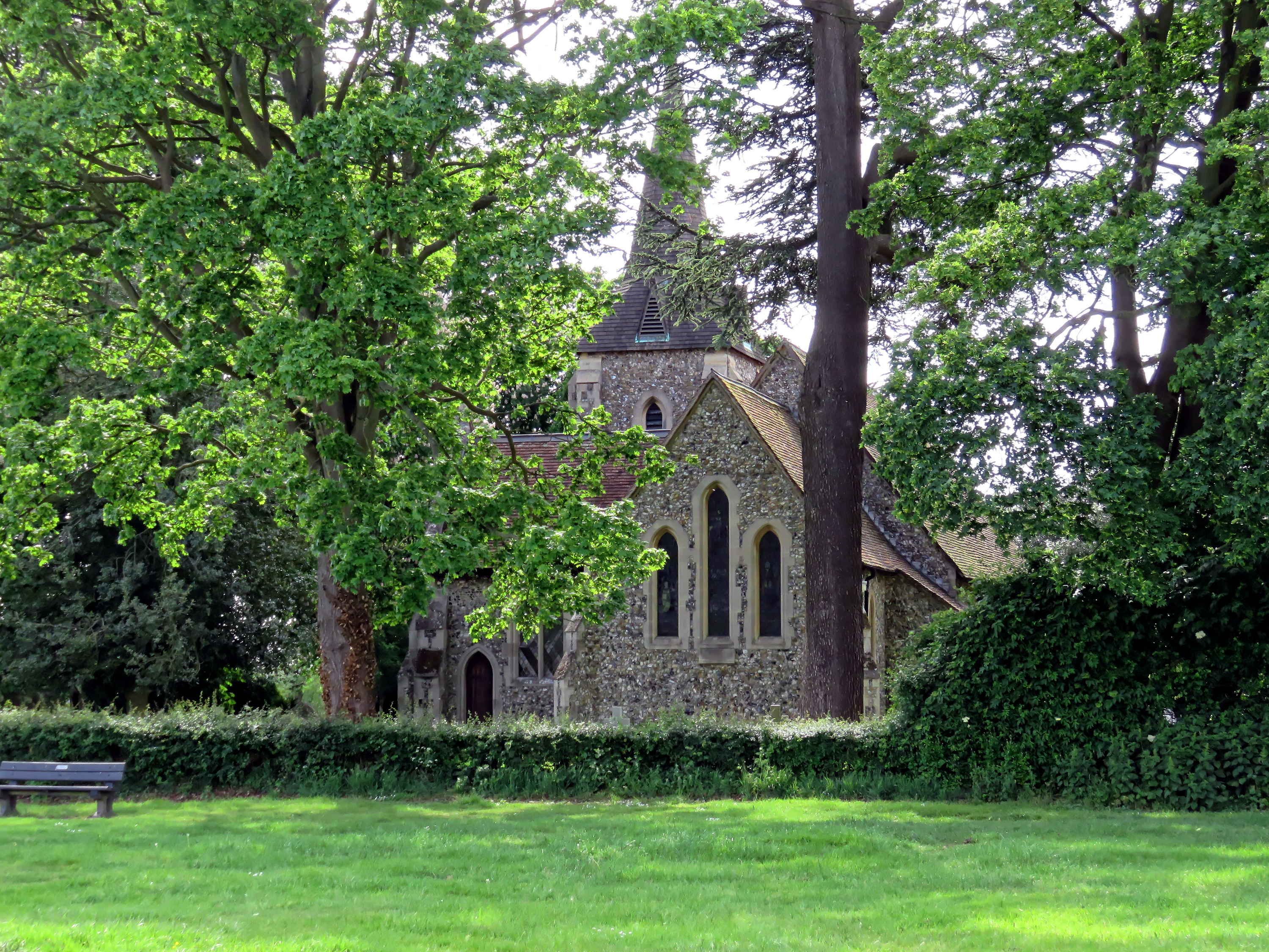
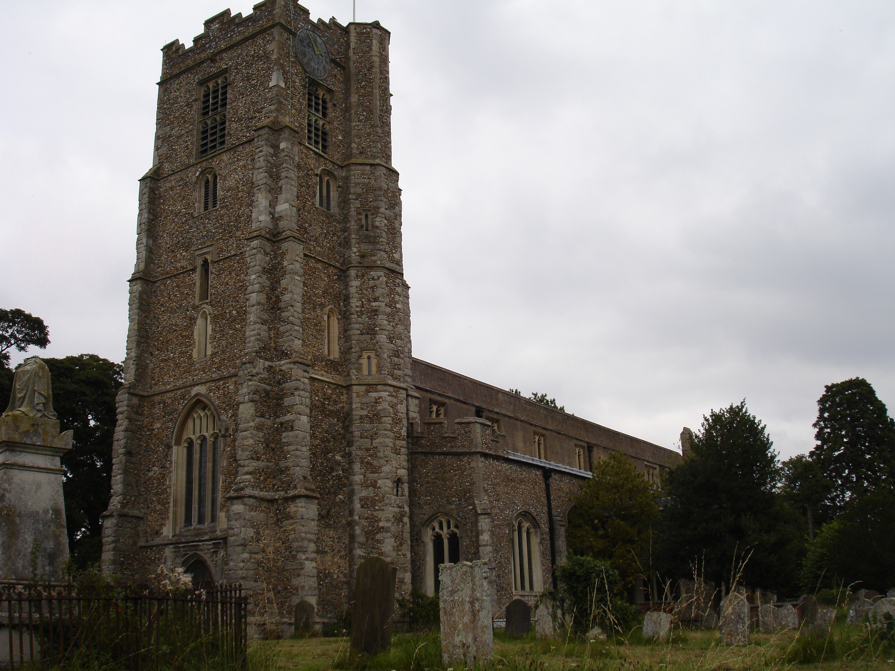
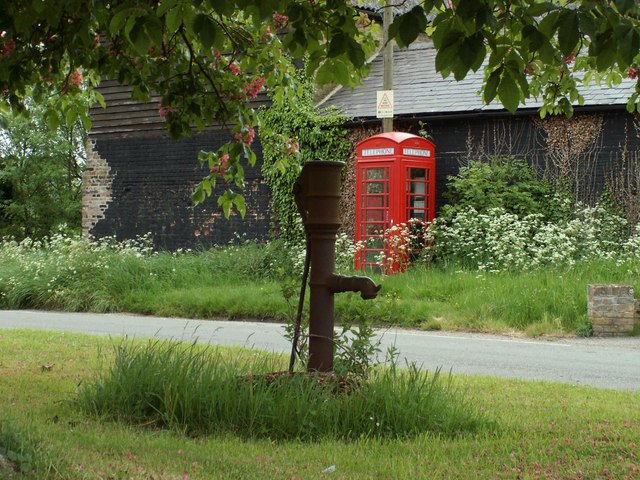
Muchfield Common Images

Images are sourced within 2km of 51.809505/0.22377861 or Grid Reference TL5314. Thanks to Geograph Open Source API. All images are credited.

Footpath White Roding 2 by Row Wood From Hatfield Broad Oak (as Hatfield Broad Oak 29) towards White Roding.
Footpath White Roding 2 by Row Wood
From Hatfield Broad Oak (as Hatfield Broad Oak 29) towards White Roding.
Hedgerow tree near Row Wood The Hatfield Broad Oak (right) - White Roding (left) parish boundary follows the hedge.
Hedgerow tree near Row Wood
The Hatfield Broad Oak (right) - White Roding (left) parish boundary follows the hedge.
Footpath turns left at corner of Row Wood The Hatfield Broad Oak - White Roding parish boundary follows the near edge of the wood and down the hedge ahead. So footpath Hatfield Broad Oak 29 becomes White Roding 2.
Footpath turns left at corner of Row Wood
The Hatfield Broad Oak - White Roding parish boundary follows the near edge of the wood and down the hedge ahead. So footpath Hatfield Broad Oak 29 becomes White Roding 2.
Tree on field boundary The boundary is actually a ditch, but rather swamped with vegetation at the end of June.
Tree on field boundary
The boundary is actually a ditch, but rather swamped with vegetation at the end of June.
Sparrows Lane meets A1060 Chelmsford Road The right turn up the main road to the left is plated Sparrow Lane, without an 's'.
Sparrows Lane meets A1060 Chelmsford Road
The right turn up the main road to the left is plated Sparrow Lane, without an 's'.
Hedgerow and field north of Grange Farm
Tractor tracks in the wheat The left hand branch is close to the mapped route of footpath Hatfield Heath 41, but may also be for agricultural purposes to cover the lower part of the field that has a curvaceous brook margin.
Tractor tracks in the wheat
The left hand branch is close to the mapped route of footpath Hatfield Heath 41, but may also be for agricultural purposes to cover the lower part of the field that has a curvaceous brook margin.
Tractor tracks in the wheat The well worn track looks as if it has been used for footpath Hatfield Heath 41,  but the mapped route is closer to the next pass to the right.
Tractor tracks in the wheat
The well worn track looks as if it has been used for footpath Hatfield Heath 41, but the mapped route is closer to the next pass to the right.
The White Horse, Hatfield Heath A grade II listed pub, early 17th century.
The White Horse, Hatfield Heath
A grade II listed pub, early 17th century.
Ryes Lane Looking north from near Corringales.
Ryes Lane
Looking north from near Corringales.
On the road to Hatfield Heath Near Town Grove.
On the road to Hatfield Heath
Near Town Grove.
Field and footpath  North of Hatfield Heath. If you are sharp-eyed you may be able to spot the tower of St Mary the Virgin at Hatfield Broad Oak - on the skyline towards the left.
Field and footpath
North of Hatfield Heath. If you are sharp-eyed you may be able to spot the tower of St Mary the Virgin at Hatfield Broad Oak - on the skyline towards the left.
War memorial at Hatfield Heath The war memorial is on the village green adjacent to the A1060 road.  The parish church is in the background (still in square TL5214).
War memorial at Hatfield Heath
The war memorial is on the village green adjacent to the A1060 road. The parish church is in the background (still in square TL5214).
Holy Trinity Church, Hatfield Heath
'The Thatchers', public house at Hatfield Heath, Essex This pub stands on Stortford Road to the west of the Heath.
'The Thatchers', public house at Hatfield Heath, Essex
This pub stands on Stortford Road to the west of the Heath.
The A.1060 at Hatfield Heath, Essex This is the only section of this road that lies in this grid square. It shows the road travelling away from Hatfield Heath towards Chelmsford.
The A.1060 at Hatfield Heath, Essex
This is the only section of this road that lies in this grid square. It shows the road travelling away from Hatfield Heath towards Chelmsford.
Friars, Hatfield Heath, Essex
Blocks, east of Hatfield Heath, Essex
Show me another place!

Muchfield Common is located at Grid Ref: TL5314 (Lat: 51.809505, Lng: 0.22377861)

Administrative County: Essex

District: Uttlesford

Police Authority: Essex

What 3 Words

///powder.dairy.stiff. Near Hatfield Heath, Essex

Related Wikis

Ardley End

Ardley End is a hamlet in the Uttlesford area of Essex, England. It is approximately half a mile from the village of Hatfield Heath.

Hatfield Heath

Hatfield Heath is a village, civil parish, and an electoral ward in the Uttlesford district of Essex, England, and at its west is close to the border with...

Down Hall

Down Hall is a Victorian country house and estate near Hatfield Heath in the English county of Essex, close to its border with Hertfordshire. It is surrounded...

Hatfield Broad Oak

Hatfield Broad Oak (also known as Hatfield Regis) is a village and civil parish in the Uttlesford district of Essex, England. The village is approximately...

Hatfield Regis Priory

Hatfield Broad Oak Priory, or Hatfield Regis Priory, is a former Benedictine priory in Hatfield Broad Oak, Essex, England. Founded by 1139, it was dissolved...

Manwood Green

Manwood Green is a hamlet in the Uttlesford district, in the county of Essex. Manwood Green was Man(e)wode(s)grene in 1272.It is on Sparrows Lane (a minor...

Sheering

Sheering is a civil parish and village in the Epping Forest district of Essex, England. Sheering village is situated 2.8 miles (5 km) north-east from Harlow...

Newman's End

Newman's End is a hamlet in the civil parish of Matching, and the Epping Forest district of Essex, England. The hamlet, at the north of the parish, is...

Nearby Amenities

Located within 500m of 51.809505,0.22377861
Muchfield Common
Place: hamlet
Lat/Long: 51.8093362/0.222773
Power: pole
Lat/Long: 51.8097731/0.216808
Power: pole
Lat/Long: 51.8102142/0.2176234
Power: pole
Lat/Long: 51.8106586/0.2184925
The data included in this document is from www.openstreetmap.org. The data is made available under ODbL.

Have you been to Muchfield Common?

Leave your review of Muchfield Common below (or comments, questions and feedback).