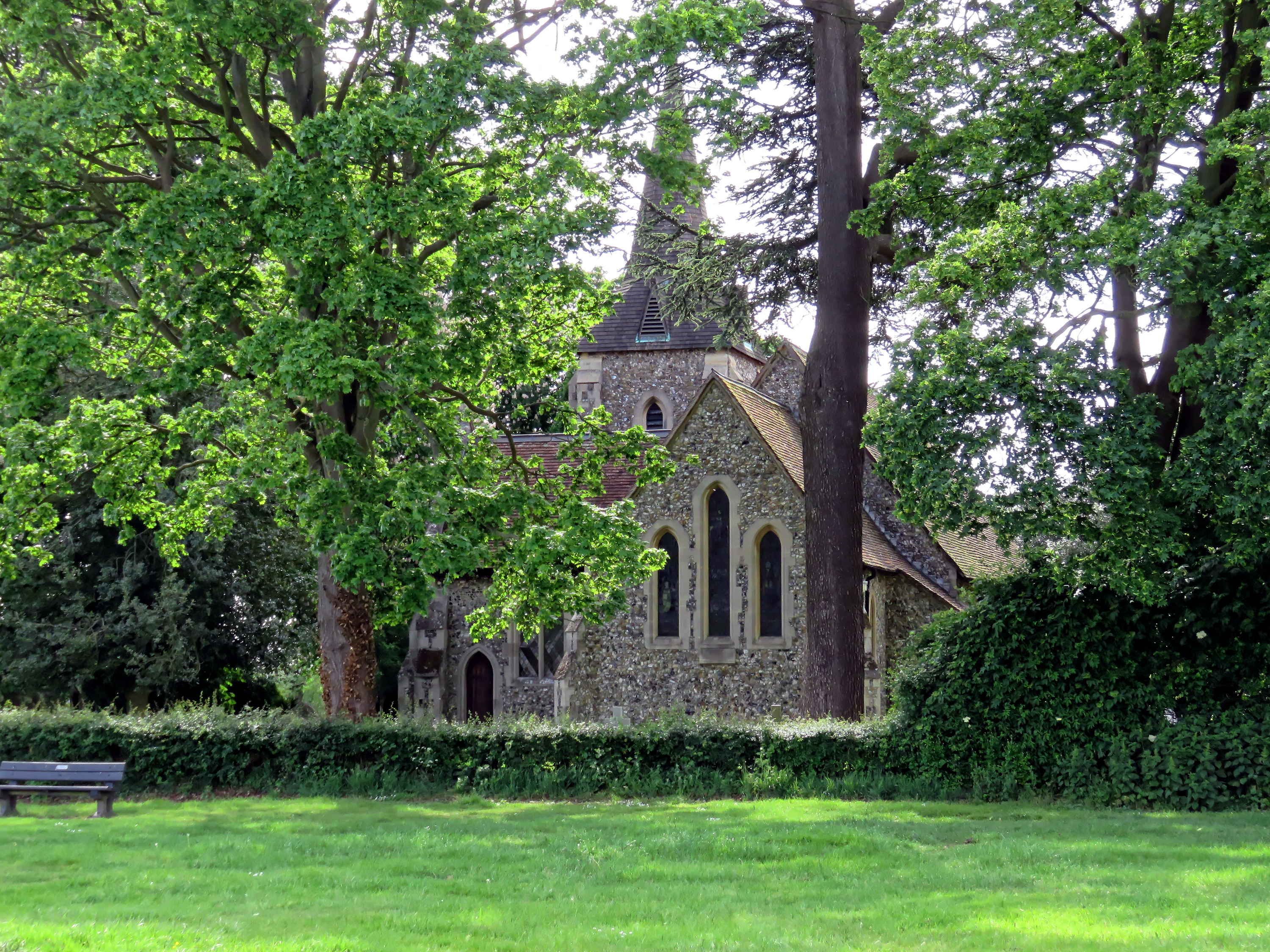
Millennium Spinney
Wood, Forest in Essex Uttlesford
England
Millennium Spinney
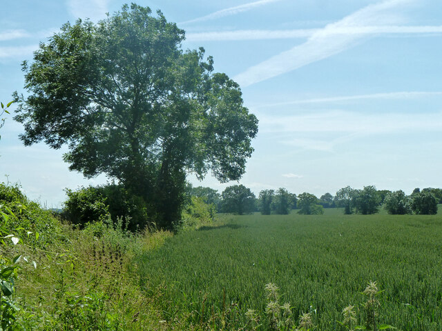
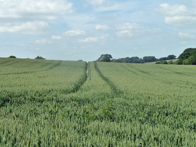
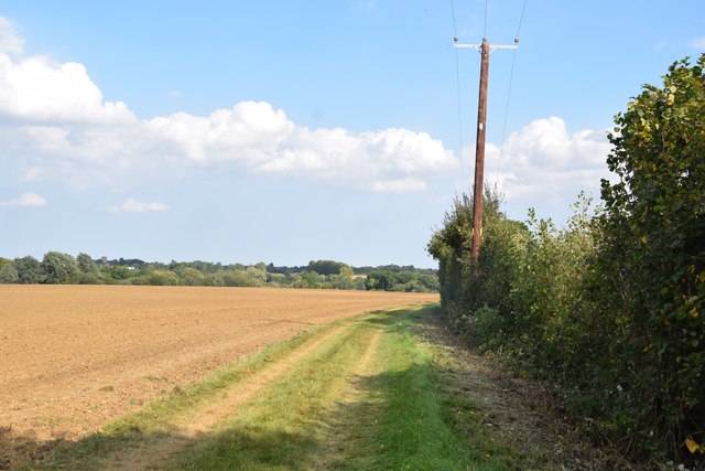
Millennium Spinney, located in Essex, is a picturesque woodland area that offers a serene escape from the bustling urban life. Spanning over a significant area, this spinney is a part of the Millennium Forest Project, which aimed to create green spaces for the community to enjoy and promote biodiversity.
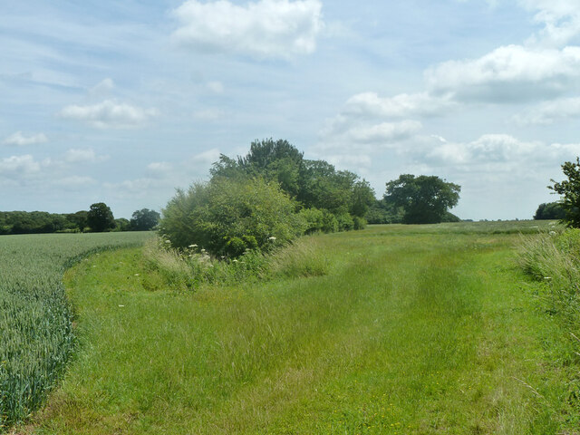
The woodland is characterized by a diverse range of trees, including oaks, birches, and beeches, which provide a rich habitat for various wildlife species. Visitors to Millennium Spinney can expect to spot an array of birds, such as woodpeckers, jays, and thrushes, as well as small mammals like squirrels and foxes.
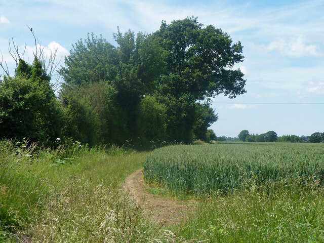
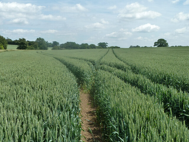
The spinney features well-maintained footpaths and trails, allowing visitors to explore its beauty at their own pace. Nature enthusiasts can enjoy peaceful walks, jogging, or cycling, surrounded by the lush greenery and fresh air. The woodland also offers a picnic area, providing a perfect spot to relax and enjoy a meal amidst the tranquil environment.
Additionally, Millennium Spinney hosts educational programs and workshops for schools and community organizations, aiming to raise awareness about the importance of conservation and environmental sustainability. These initiatives include guided nature walks, bird-watching sessions, and tree-planting activities.
Millennium Spinney truly embodies the essence of a natural oasis, providing a haven for both wildlife and people seeking solace in nature. Its commitment to environmental preservation and community engagement makes it an invaluable resource for the local community and a must-visit destination for nature lovers in Essex.
If you have any feedback on the listing, please let us know in the comments section below.
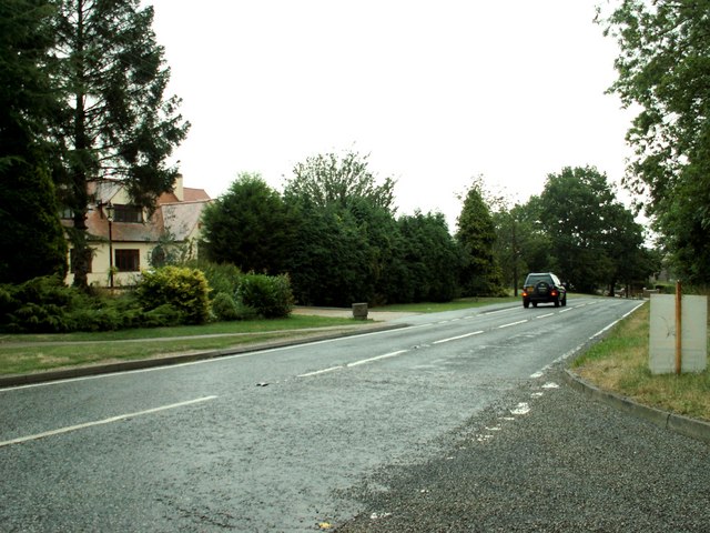
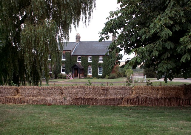
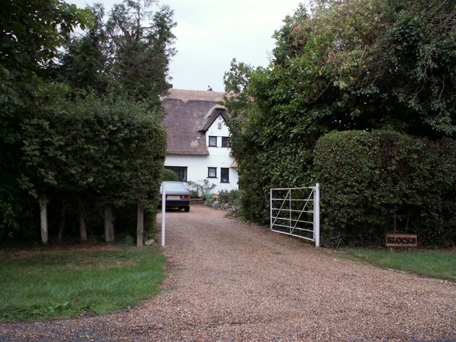
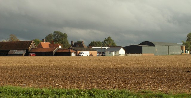
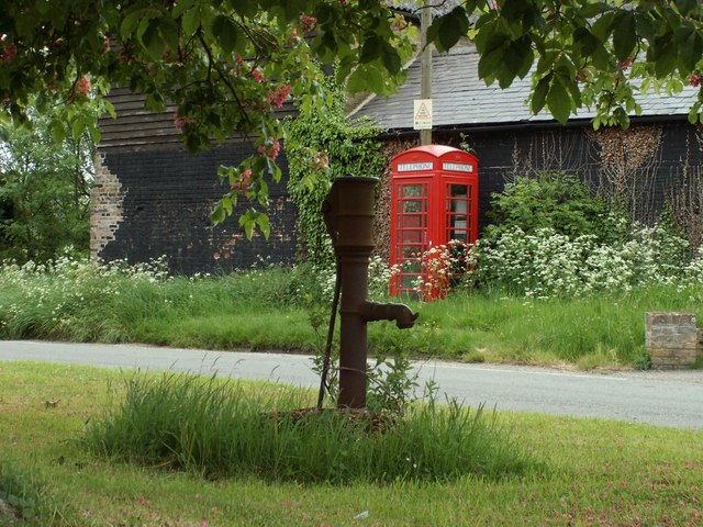
Millennium Spinney Images
Images are sourced within 2km of 51.804558/0.22336103 or Grid Reference TL5314. Thanks to Geograph Open Source API. All images are credited.


Millennium Spinney is located at Grid Ref: TL5314 (Lat: 51.804558, Lng: 0.22336103)
Administrative County: Essex
District: Uttlesford
Police Authority: Essex
What 3 Words
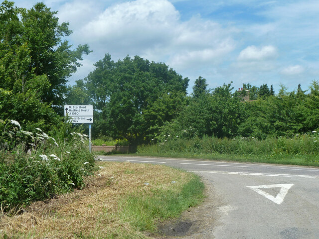
///tasty.fact.occurs. Near Hatfield Heath, Essex
Nearby Locations
Related Wikis
Hatfield Heath
Hatfield Heath is a village, civil parish, and an electoral ward in the Uttlesford district of Essex, England, and at its west is close to the border with...

Down Hall
Down Hall is a Victorian country house and estate near Hatfield Heath in the English county of Essex, close to its border with Hertfordshire. It is surrounded...

Ardley End
Ardley End is a hamlet in the Uttlesford area of Essex, England. It is approximately half a mile from the village of Hatfield Heath.

Manwood Green
Manwood Green is a hamlet in the Uttlesford district, in the county of Essex. Manwood Green was Man(e)wode(s)grene in 1272.It is on Sparrows Lane (a minor...
Newman's End
Newman's End is a hamlet in the civil parish of Matching, and the Epping Forest district of Essex, England. The hamlet, at the north of the parish, is...

Matching, Essex
Matching is a village and civil parish in the Epping Forest district of Essex, England centred in countryside 3 miles (4.8 km) east of Harlow's modern...

RAF Matching
Royal Air Force Matching or more simply RAF Matching is a former Royal Air Force station located 5 miles (8.0 km) east of Harlow, Essex and 22 miles (35...

Sheering
Sheering is a civil parish and village in the Epping Forest district of Essex, England. Sheering village is situated 2.8 miles (5 km) north-east from Harlow...
Have you been to Millennium Spinney?
Leave your review of Millennium Spinney below (or comments, questions and feedback).