Great Sandy Field

Downs, Moorland in Norfolk King's Lynn and West Norfolk

England

Great Sandy Field

The course of the former Wisbech and Upwell Tramway This section of the tramway opened in 1884 and closed to passengers in 1927 and to freight in 1966.
The course of the former Wisbech and Upwell Tramway Credit: Jonathan Thacker

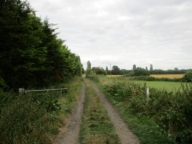
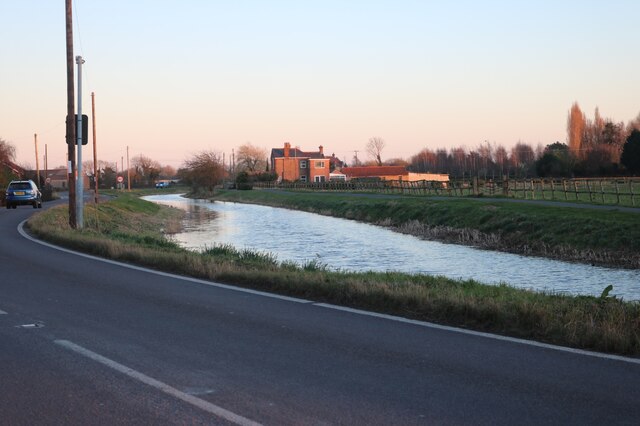
Great Sandy Field, located in Norfolk, England, is a diverse and scenic landscape that encompasses downs, moorland, and sandy areas. It covers an expansive area, providing a haven for a variety of flora and fauna.

The downs in Great Sandy Field are characterized by undulating hills covered in short grasses, interspersed with patches of heathland. These areas offer breathtaking panoramic views of the surrounding countryside, making it a popular spot for hikers and nature enthusiasts. The downs also support a range of plant species, including heather, gorse, and wildflowers, which add vibrant colors to the landscape throughout the year.

In contrast, the moorland sections of Great Sandy Field are characterized by wet and boggy terrain, where the ground is covered with mosses, grasses, and low-growing shrubs. These areas are home to unique plant species, such as cotton grass and bog myrtle, as well as a variety of birds, including the iconic curlew and lapwing.

The sandy areas within Great Sandy Field provide a distinct habitat for a range of wildlife. These areas are home to rare plants, such as sand sedge and sea spurge, which have adapted to the sandy soils. The dunes also support a diverse population of animals, including rabbits, lizards, and a variety of insects.

Great Sandy Field is a haven for nature lovers, offering a diverse range of habitats and a rich tapestry of wildlife. Whether exploring the downs, moorland, or sandy areas, visitors are sure to be captivated by the natural beauty and tranquility of this unique landscape in Norfolk.

If you have any feedback on the listing, please let us know in the comments section below.

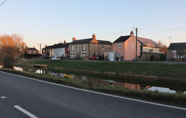
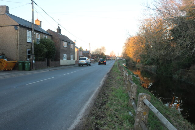
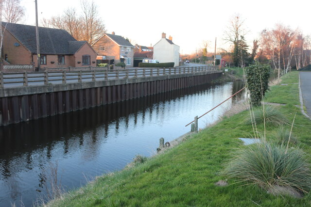
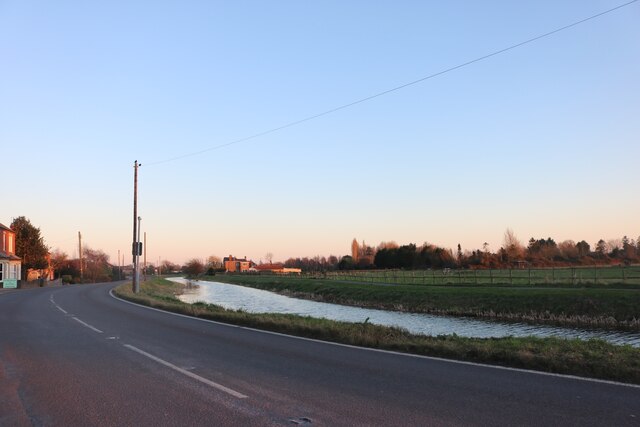
Great Sandy Field Images

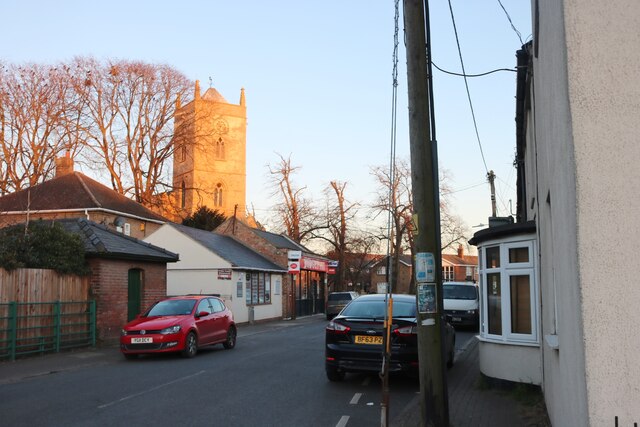
Images are sourced within 2km of 52.616198/0.24292037 or Grid Reference TF5104. Thanks to Geograph Open Source API. All images are credited.

The course of the former Wisbech and Upwell Tramway This section of the tramway opened in 1884 and closed to passengers in 1927 and to freight in 1966.
The course of the former Wisbech and Upwell Tramway
This section of the tramway opened in 1884 and closed to passengers in 1927 and to freight in 1966.
The Tramway, Outwell This marks the point of the old tramway. It went from here to Wisbech. <span class="nowrap"><a title="https://www.wellcreektrust.org.uk/tramway-2/" rel="nofollow ugc noopener" href="https://www.wellcreektrust.org.uk/tramway-2/">Link</a><img style="margin-left:2px;" alt="External link" title="External link - shift click to open in new window" src="https://s1.geograph.org.uk/img/external.png" width="10" height="10"/></span>
The Tramway, Outwell
This marks the point of the old tramway. It went from here to Wisbech. LinkExternal link
Isle Bridge, Outwell Crossing the River Nene
Isle Bridge, Outwell
Crossing the River Nene
The River Nene, Outwell
Church Drove, Outwell Looking towards St Clement's Church
Church Drove, Outwell
Looking towards St Clement's Church
Ingle House in Outwell It looks like offices but it's a block of flats.
Ingle House in Outwell
It looks like offices but it's a block of flats.
Costcutter on Church Drove, Outwell
Downham Road, Outwell Looking across Well Creek
Downham Road, Outwell
Looking across Well Creek
Well Creek in Outwell Both main roads in run alongside either the River Nene from the south or Well Creek which joins from the east around here.
Well Creek in Outwell
Both main roads in run alongside either the River Nene from the south or Well Creek which joins from the east around here.
Rectory Road, Upwell Built along the River Nene
Rectory Road, Upwell
Built along the River Nene
The River Nene, Outwell
Well Creek in Outwell By Downham Road
Well Creek in Outwell
By Downham Road
Well Creek in Outwell
Outwell: Basin Road
Outwell: Basin Road
Parish cemetery in Outwell
Well Creek Road in Outwell with Church Bridge to the right
On the edge of Edge Bank, Emneth Hungate This is one of several roads in the area which form a large semi-circle on OS maps. With names such as Edge Bank, Marshland St James and Old Podike Bank they most probably were the edge of Marshland Fen before it was drained a few centuries ago.
On the edge of Edge Bank, Emneth Hungate
This is one of several roads in the area which form a large semi-circle on OS maps. With names such as Edge Bank, Marshland St James and Old Podike Bank they most probably were the edge of Marshland Fen before it was drained a few centuries ago.
Spraying a wheatfield on Edge Bank In Great Fendike Field south of Emneth Hungate, Norfolk
Spraying a wheatfield on Edge Bank
In Great Fendike Field south of Emneth Hungate, Norfolk
Show me another place!

Great Sandy Field is located at Grid Ref: TF5104 (Lat: 52.616198, Lng: 0.24292037)

Administrative County: Norfolk

District: King's Lynn and West Norfolk

Police Authority: Norfolk

What 3 Words

///clipped.interview.winners. Near Outwell, Norfolk

Nearby Locations

Great Sandy Field

Related Wikis

Beaupré Hall

Beaupré Hall was a large 16th-century house mainly of brick, which was built by the Beaupres in Outwell, Norfolk, England and enlarged by their successors...
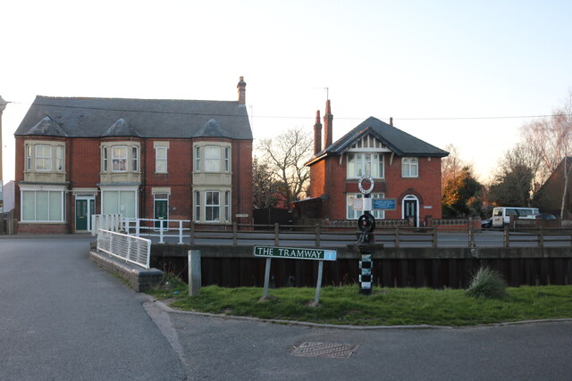
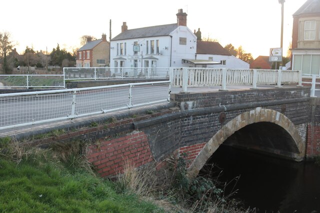
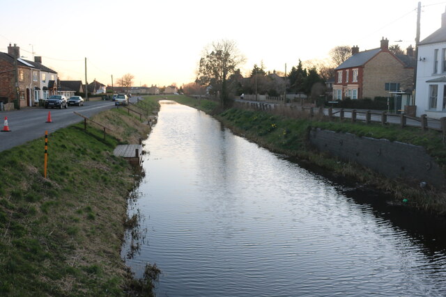
Outwell

Outwell is a village and civil parish in the borough of King's Lynn and West Norfolk, in the English county of Norfolk.At the 2011 Census, the parish had...

Outwell Village railway station

Outwell Village railway station was a station in Outwell, Norfolk on the Wisbech and Upwell Tramway. It opened in 1884 and closed to passengers in 1928...

Outwell Basin railway station

Outwell Basin railway station was a stop on the Wisbech and Upwell Tramway in Outwell, Norfolk. It opened in 1883 carrying passenger and goods traffic...

Nearby Amenities

Located within 500m of 52.616198,0.24292037
Power: pole
Lat/Long: 52.612483/0.2454495
The data included in this document is from www.openstreetmap.org. The data is made available under ODbL.

Have you been to Great Sandy Field?

Leave your review of Great Sandy Field below (or comments, questions and feedback).