Scott's Field
Downs, Moorland in Norfolk King's Lynn and West Norfolk
England
Scott's Field
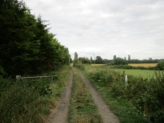
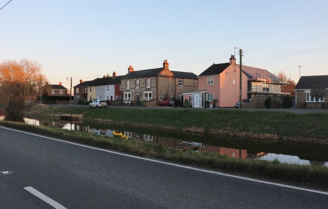
Scott's Field, also known as Norfolk Downs or Moorland, is a picturesque area located in Norfolk, England. Covering an expansive land of approximately 200 hectares, it is characterized by its rolling hills, vast open spaces, and breathtaking views.
The field is named after Sir Walter Scott, a renowned Scottish author, and poet, who was known for his love of nature and the English countryside. It has become a popular destination for locals and tourists alike, attracting nature enthusiasts, hikers, and families looking for a peaceful retreat.
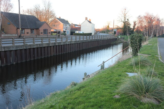
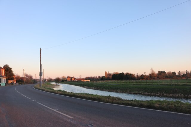
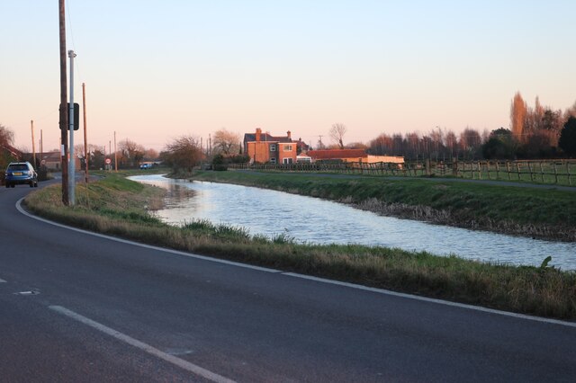
The landscape of Scott's Field is diverse, featuring lush green meadows, wildflower-filled valleys, and dense woodlands. The area is home to a rich variety of flora and fauna, making it a haven for wildlife. Visitors can spot various species of birds, small mammals, and even rare butterflies.
The field offers several walking trails and footpaths, allowing visitors to explore its natural beauty at their own pace. The routes wind through the rolling hills, offering stunning panoramic views of the surrounding countryside. Along the way, there are designated picnic spots and benches where visitors can relax and take in the serenity of the area.
Scott's Field also hosts various events and activities throughout the year, such as nature walks, bird watching sessions, and educational programs for children. The field is well-maintained, with clean facilities and ample parking spaces available for visitors.
Overall, Scott's Field, Norfolk Downs, or Moorland is a captivating destination for those seeking a tranquil escape and a chance to immerse themselves in the beauty of the English countryside.
If you have any feedback on the listing, please let us know in the comments section below.
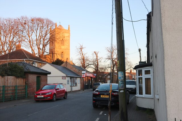
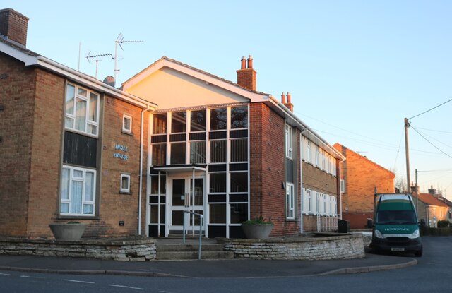
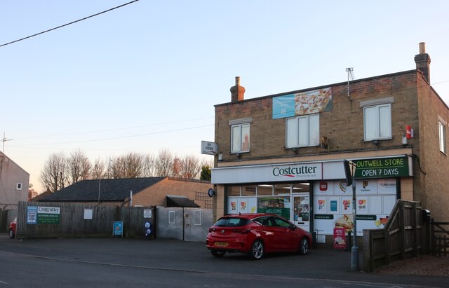
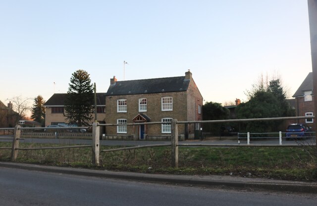
Scott's Field Images
Images are sourced within 2km of 52.622328/0.237841 or Grid Reference TF5105. Thanks to Geograph Open Source API. All images are credited.


Scott's Field is located at Grid Ref: TF5105 (Lat: 52.622328, Lng: 0.237841)
Administrative County: Norfolk
District: King's Lynn and West Norfolk
Police Authority: Norfolk
What 3 Words
///seeing.owls.overlook. Near Outwell, Norfolk
Nearby Locations
Related Wikis

Beaupré Hall
Beaupré Hall was a large 16th-century house mainly of brick, which was built by the Beaupres in Outwell, Norfolk, England and enlarged by their successors...

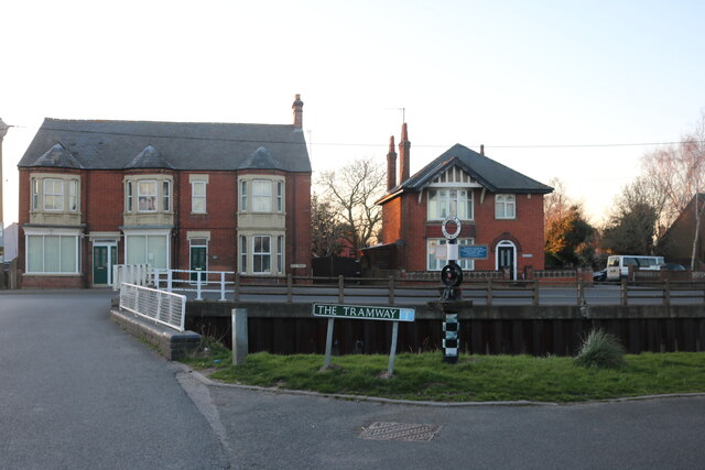
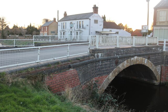
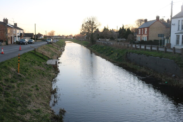
Outwell
Outwell is a village and civil parish in the borough of King's Lynn and West Norfolk, in the English county of Norfolk.At the 2011 Census, the parish had...

Outwell Basin railway station
Outwell Basin railway station was a stop on the Wisbech and Upwell Tramway in Outwell, Norfolk. It opened in 1883 carrying passenger and goods traffic...
Outwell Village railway station
Outwell Village railway station was a station in Outwell, Norfolk on the Wisbech and Upwell Tramway. It opened in 1884 and closed to passengers in 1928...
Boyces Bridge railway station
Boyces Bridge railway station was a station in Norfolk on the Wisbech and Upwell Tramway commonly known as the Upwell Tramway. It was located north of...
Emneth Hungate
Emneth Hungate is a small settlement near the village of Emneth in Norfolk, England, near the border with Cambridgeshire. It once had its own Emneth railway...
Upwell railway station
Upwell railway station was a station in Upwell, Norfolk on the Wisbech and Upwell Tramway. It was opened in 1883 to carry passengers and agricultural wares...

Molycourt Priory
The Priory of St Mary de Bello Loco, commonly referred to as Molycourt Priory, was a small Benedictine priory located in the parish of Outwell, Norfolk...
Nearby Amenities
Located within 500m of 52.622328,0.237841Have you been to Scott's Field?
Leave your review of Scott's Field below (or comments, questions and feedback).