Adventurers' Land
Downs, Moorland in Cambridgeshire East Cambridgeshire
England
Adventurers' Land
Adventurers' Land is a picturesque region located in Cambridgeshire, England, known for its stunning downs and moorland landscapes. Spanning approximately 100 square miles, this area offers a diverse range of outdoor activities and breathtaking natural beauty.
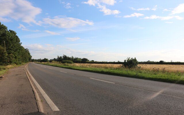
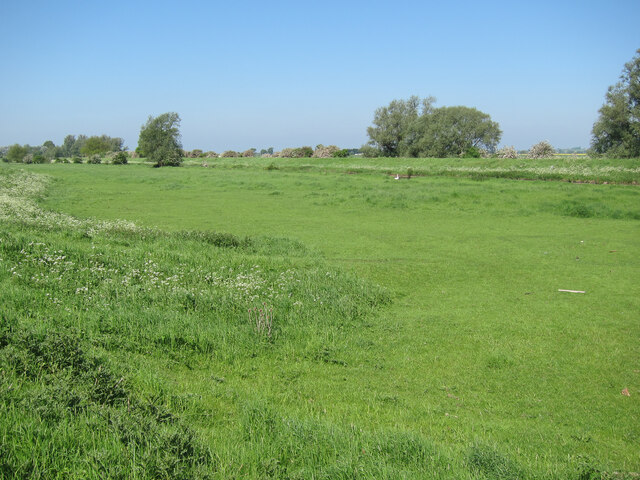
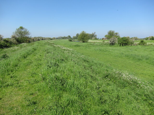
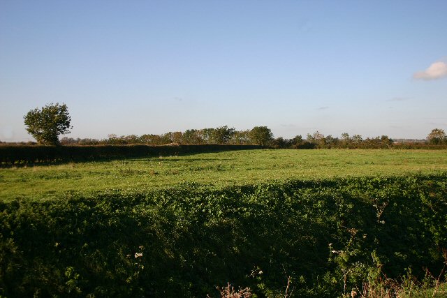
The downs of Adventurers' Land are characterized by their gently rolling hills and expansive grasslands. With their vibrant green hues during the summer months, these downs provide the perfect setting for hiking, picnicking, and enjoying panoramic views of the surrounding countryside. Nature enthusiasts can also find an array of unique flora and fauna, including rare orchids and various bird species.
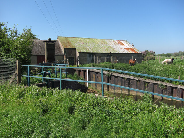
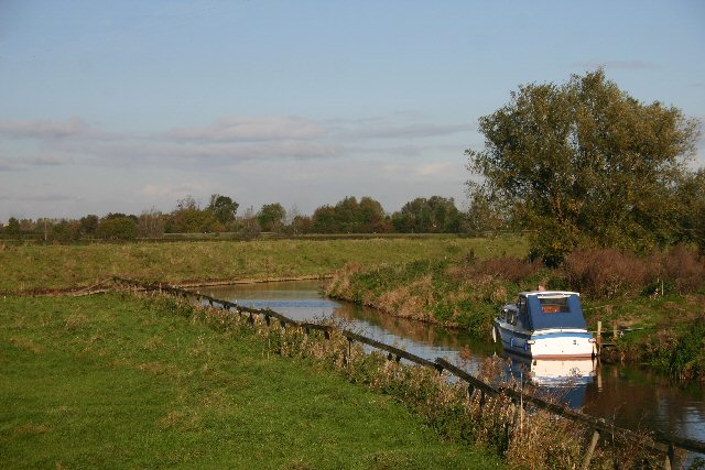
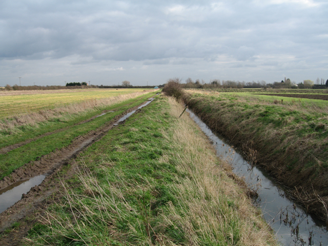
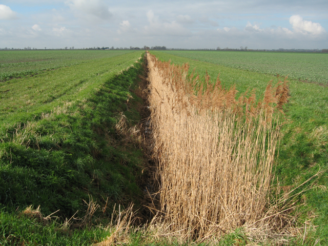
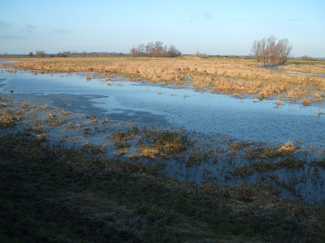
Adjacent to the downs, the moorland of Adventurers' Land presents a stark contrast with its rugged and wild terrain. This area is characterized by its open expanses of heather and gorse, interspersed with scattered pools and bogs. Moorland walks offer visitors the opportunity to immerse themselves in the untamed beauty of the landscape and experience the tranquility of the surroundings.
Adventurers' Land is a haven for outdoor enthusiasts, offering a wide range of activities such as horseback riding, cycling, and wildlife spotting. The area is also home to several nature reserves, providing a protected habitat for endangered species and offering educational opportunities for visitors.
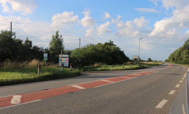
In addition to its natural attractions, Adventurers' Land boasts charming villages and historic landmarks. Visitors can explore quaint pubs, ancient churches, and traditional thatched cottages, immersing themselves in the region's rich cultural heritage.
Overall, Adventurers' Land in Cambridgeshire is a captivating destination that combines stunning natural landscapes with a rich tapestry of history and culture, providing a truly memorable experience for all who visit.
If you have any feedback on the listing, please let us know in the comments section below.
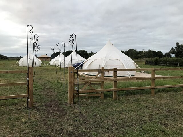
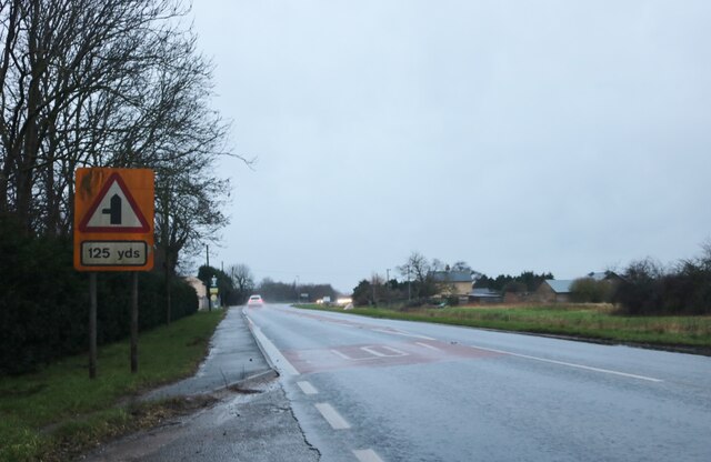
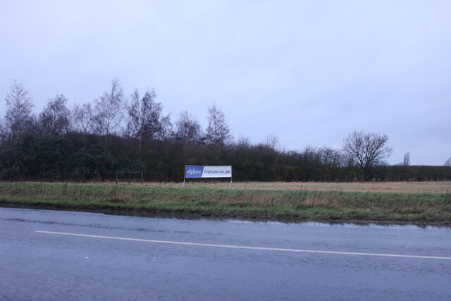
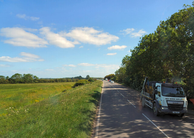
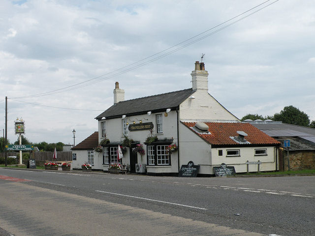
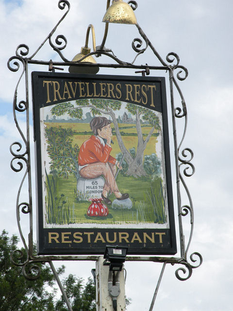
Adventurers' Land Images
Images are sourced within 2km of 52.322534/0.21014807 or Grid Reference TL5071. Thanks to Geograph Open Source API. All images are credited.
Adventurers' Land is located at Grid Ref: TL5071 (Lat: 52.322534, Lng: 0.21014807)
Division: Isle of Ely
Administrative County: Cambridgeshire
District: East Cambridgeshire
Police Authority: Cambridgeshire
What 3 Words
///sleepless.mile.miles. Near Stretham, Cambridgeshire
Nearby Locations
Related Wikis

Stretham Old Engine
Stretham Old Engine is a steam-powered engine just south of Stretham in Cambridgeshire, England, that was used to pump water from flood-affected areas...

Huntingdonshire Football Association
The Huntingdonshire Football Association, also simply known as the Huntingdonshire FA, is the governing body of football in Huntingdonshire. == References... ==

Chittering, Cambridgeshire
Chittering is a hamlet about 8 miles (13 km) north of Cambridge in Cambridgeshire, England. For administrative purposes it is part of the parish of Waterbeach...
Cam Washes
Cam Washes is a 166.5-hectare (411-acre) biological Site of Special Scientific Interest west of Wicken in Cambridgeshire.This site on the banks of the...

Stretham
Stretham is a village and civil parish 4 miles (6 km) south-south-west of Ely in Cambridgeshire, England, about 74 miles (119 km) by road from London...

St James' Church, Stretham
St James' Church, Stretham, is an active Anglican church in the village of Stretham, Cambridgeshire, England. Founded in the 12th century, it was heavily...
Mereham
Mereham was a potential new town near Ely in East Cambridgeshire, England. Developer Multiplex Stannifer has not received planning permission yet. East...

Upware South Pit
Upware South Pit is a 1.1-hectare (2.7-acre) geological Site of Special Scientific Interest (SSSI) north of Upware in Cambridgeshire. It is a Geological...
Have you been to Adventurers' Land?
Leave your review of Adventurers' Land below (or comments, questions and feedback).