Little Fendike Field
Downs, Moorland in Norfolk King's Lynn and West Norfolk
England
Little Fendike Field
Little Fendike Field is a picturesque area located in Norfolk, England. Nestled amidst rolling hills and stunning landscapes, this field offers visitors a tranquil and idyllic setting to escape the hustle and bustle of city life.
Situated in the northeast of Norfolk, Little Fendike Field is a part of the larger Fendike Field area, which encompasses downs, moorland, and grazing pastures. The field itself spans an area of approximately 50 acres, featuring lush green grass, scattered trees, and a small stream that meanders through its heart.
The field is known for its rich biodiversity, with a wide variety of flora and fauna thriving in its natural habitat. Wildflowers bloom in abundance during the spring and summer months, creating a colorful tapestry that attracts numerous butterflies and bees. The field also serves as a habitat for a diverse range of bird species, making it a popular spot for birdwatchers.
Visitors to Little Fendike Field can enjoy leisurely walks along the well-maintained footpaths that crisscross the area, allowing them to explore the field's natural beauty at their own pace. The field is also a popular spot for picnics, with several designated areas providing benches and tables for visitors to relax and enjoy the stunning views.
Little Fendike Field offers a peaceful retreat for nature lovers and those seeking a break from the fast-paced urban life. With its serene atmosphere, breathtaking vistas, and abundant wildlife, this field is a true gem in the Norfolk countryside.
If you have any feedback on the listing, please let us know in the comments section below.
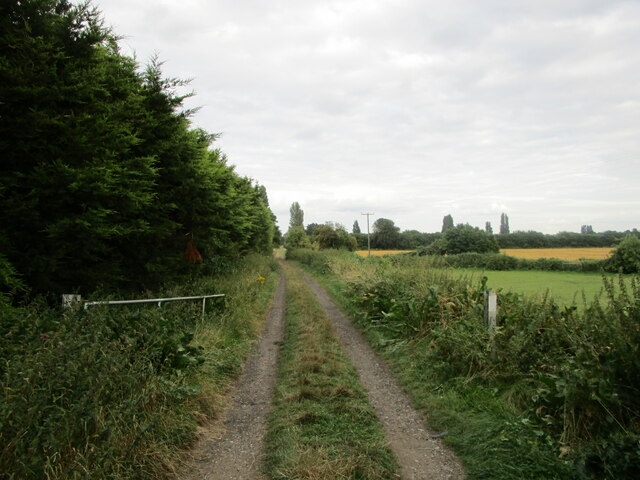
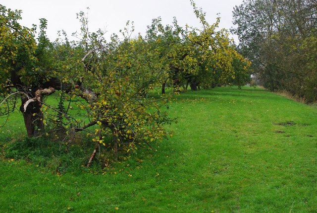
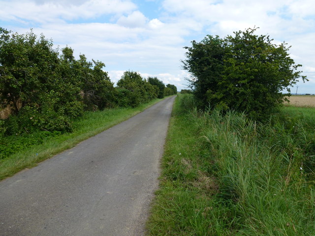
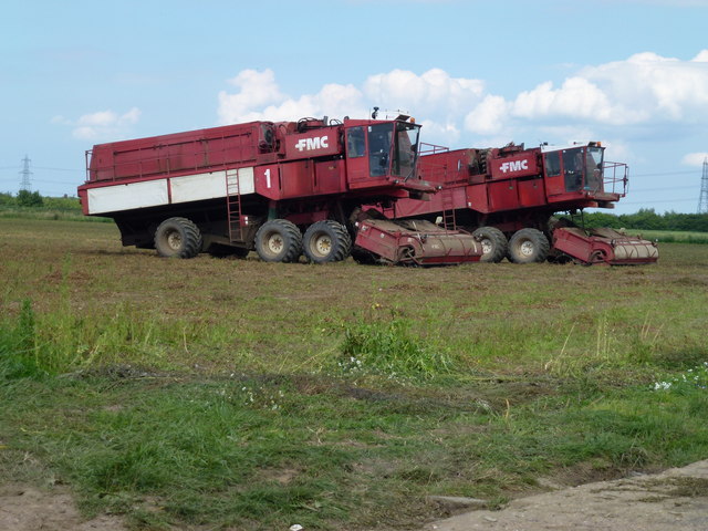
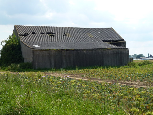
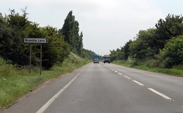
Little Fendike Field Images
Images are sourced within 2km of 52.631836/0.22566156 or Grid Reference TF5006. Thanks to Geograph Open Source API. All images are credited.


Little Fendike Field is located at Grid Ref: TF5006 (Lat: 52.631836, Lng: 0.22566156)
Administrative County: Norfolk
District: King's Lynn and West Norfolk
Police Authority: Norfolk
What 3 Words
///matchbox.unhappily.buns. Near Emneth, Norfolk
Nearby Locations
Related Wikis

Boyces Bridge railway station
Boyces Bridge railway station was a station in Norfolk on the Wisbech and Upwell Tramway commonly known as the Upwell Tramway. It was located north of...
Outwell Basin railway station
Outwell Basin railway station was a stop on the Wisbech and Upwell Tramway in Outwell, Norfolk. It opened in 1883 carrying passenger and goods traffic...

Outwell
Outwell is a village and civil parish in the borough of King's Lynn and West Norfolk, in the English county of Norfolk.At the 2011 Census, the parish had...

Emneth
Emneth is a village and civil parish in the English county of Norfolk. The village is located 2.9 miles (4.7 km) south-east of Wisbech, 12 miles (19 km...

Beaupré Hall
Beaupré Hall was a large 16th-century house mainly of brick, which was built by the Beaupres in Outwell, Norfolk, England and enlarged by their successors...
Emneth Hungate
Emneth Hungate is a small settlement near the village of Emneth in Norfolk, England, near the border with Cambridgeshire. It once had its own Emneth railway...

Marshland Rural District
Marshland Rural District was a rural district in Norfolk, England from 1894 to 1974.It was formed under the Local Government Act 1894 based on the Marshland...
Collett's Bridge
Collett's Bridge is a hamlet within the parish of Elm in the Isle of Ely, Cambridgeshire, England. It is situated on the eastern boundary of the district...
Nearby Amenities
Located within 500m of 52.631836,0.22566156Have you been to Little Fendike Field?
Leave your review of Little Fendike Field below (or comments, questions and feedback).