Cotton's Common
Downs, Moorland in Cambridgeshire King's Lynn and West Norfolk
England
Cotton's Common
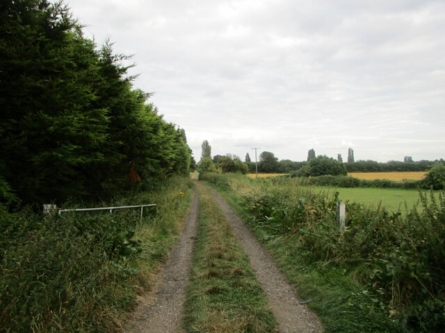
Cotton's Common, located in Cambridgeshire, England, is a significant natural area offering a diverse range of landscapes, including downs and moorland. Spanning over a vast expanse of approximately 400 acres, it provides a valuable habitat for a variety of flora and fauna.
The downs in Cotton's Common are characterized by gently rolling hills covered in short grasses and heather. These areas are typically found on chalk or limestone soils, which contribute to the unique plant species thriving in this ecosystem. Visitors to the downs can witness a mosaic of vibrant wildflowers, such as orchids, cowslips, and primroses, creating a picturesque scene during the spring and summer months.
In contrast, the moorland section of Cotton's Common is characterized by more acidic peat soils, resulting in a different set of vegetation. Here, visitors can explore expanses of heathland dominated by heather, gorse, and bilberry bushes. The moorland provides vital breeding grounds for various bird species, including skylarks and meadow pipits, while also accommodating reptiles such as adders and lizards.
Cotton's Common is a popular destination for nature enthusiasts and walkers seeking tranquility and the opportunity to observe wildlife. The site is well-maintained, with designated footpaths and boardwalks providing access to different areas of interest. Additionally, information boards throughout the site offer educational insights into the local ecology and conservation efforts.
Overall, Cotton's Common, with its downs and moorland, offers a rich natural environment, showcasing the diverse beauty of Cambridgeshire's countryside.
If you have any feedback on the listing, please let us know in the comments section below.
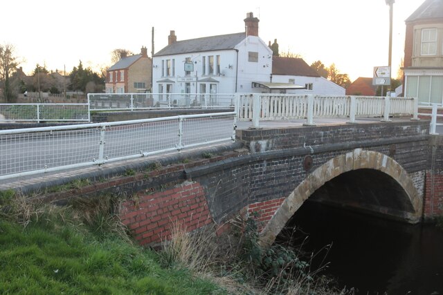
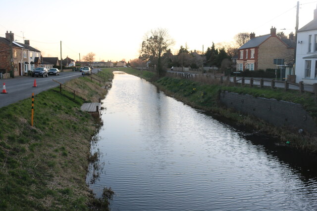
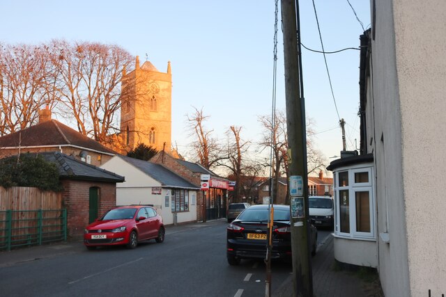
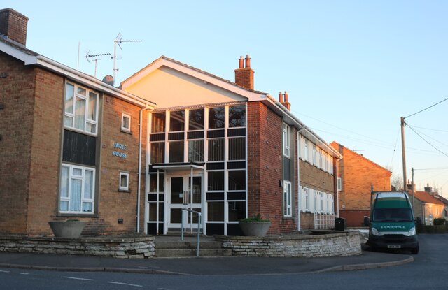
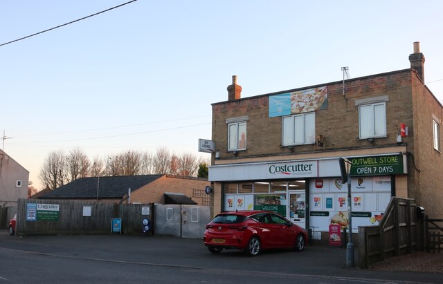
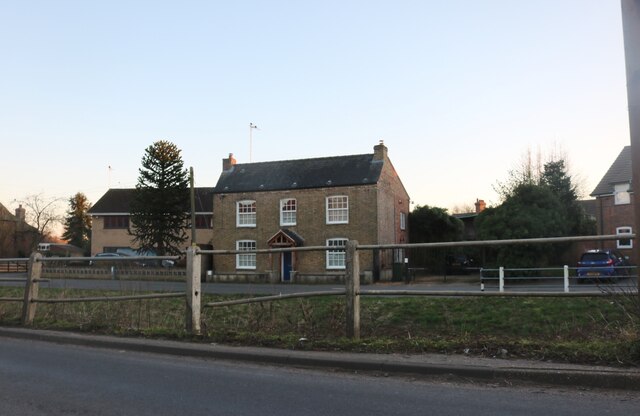
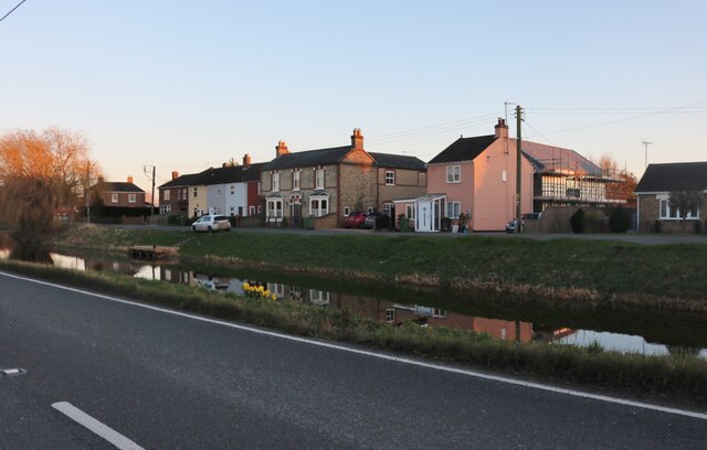
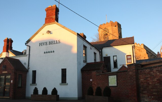
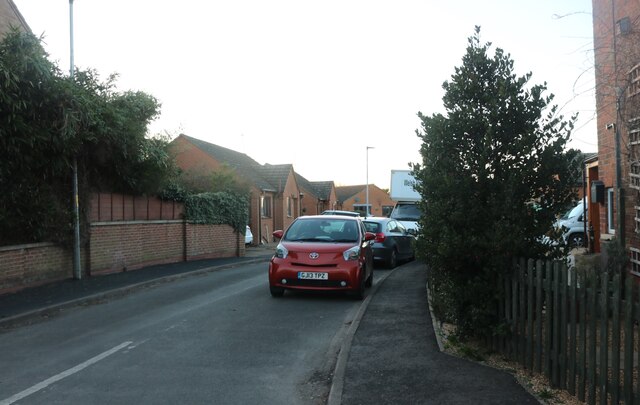
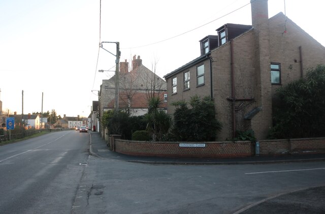
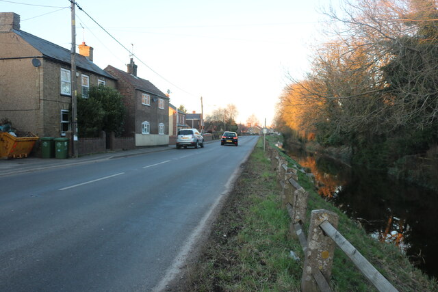
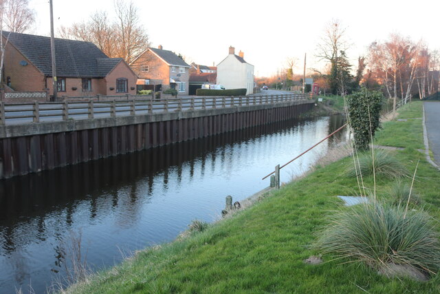
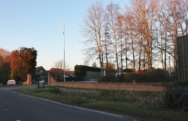
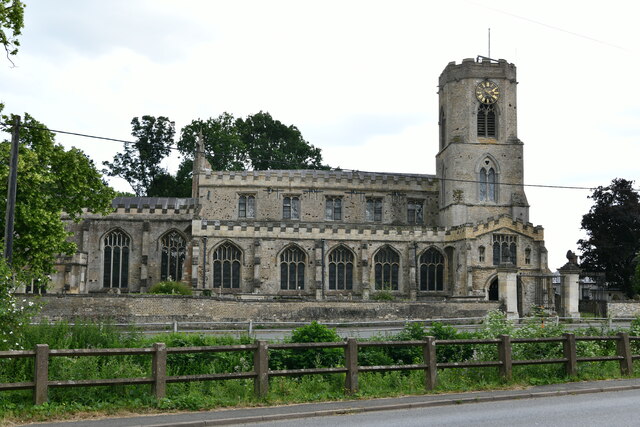
Cotton's Common Images
Images are sourced within 2km of 52.609567/0.21061822 or Grid Reference TF4903. Thanks to Geograph Open Source API. All images are credited.
Cotton's Common is located at Grid Ref: TF4903 (Lat: 52.609567, Lng: 0.21061822)
Division: Isle of Ely
Administrative County: Norfolk
District: King's Lynn and West Norfolk
Police Authority: Norfolk
What 3 Words
///unfolds.eliminate.disbelief. Near Upwell, Norfolk
Nearby Locations
Related Wikis

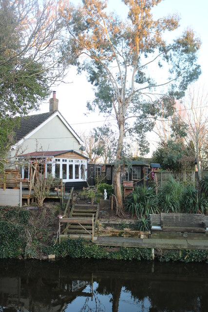
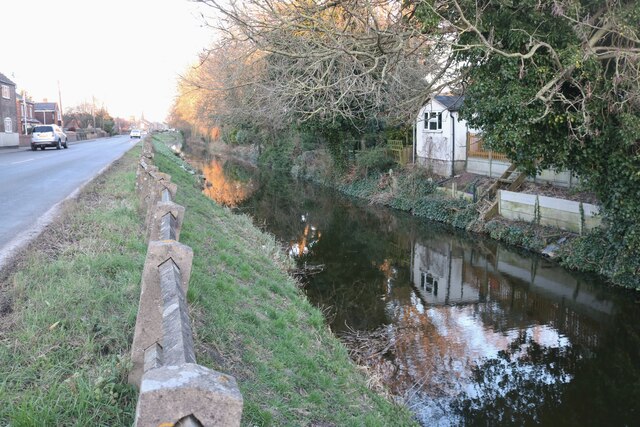
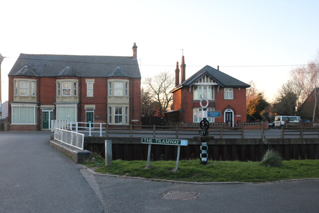
Outwell Basin railway station
Outwell Basin railway station was a stop on the Wisbech and Upwell Tramway in Outwell, Norfolk. It opened in 1883 carrying passenger and goods traffic...
Upwell railway station
Upwell railway station was a station in Upwell, Norfolk on the Wisbech and Upwell Tramway. It was opened in 1883 to carry passengers and agricultural wares...
Outwell Village railway station
Outwell Village railway station was a station in Outwell, Norfolk on the Wisbech and Upwell Tramway. It opened in 1884 and closed to passengers in 1928...

Upwell
Upwell is a village and civil parish in the English county of Norfolk. Upwell village is on the A1101 road, as is Outwell, its conjoined village at the...
Nearby Amenities
Located within 500m of 52.609567,0.21061822Have you been to Cotton's Common?
Leave your review of Cotton's Common below (or comments, questions and feedback).