Cow Common
Downs, Moorland in Cambridgeshire Fenland
England
Cow Common

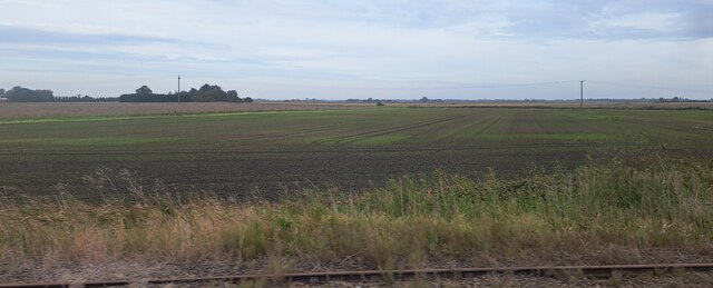
Cow Common is a vast expanse of open land located in Cambridgeshire, England. Spread across an area of approximately 500 acres, it encompasses both downs and moorland. The site is renowned for its stunning natural beauty and is a popular destination among nature enthusiasts and walkers.
The downs section of Cow Common is characterized by its gently rolling hills and expansive grasslands. It offers breathtaking panoramic views of the surrounding countryside and is home to a variety of flora and fauna. Visitors can spot a range of wildflowers, including orchids, cowslips, and harebells, which add vibrant colors to the landscape during the summer months. The downs are also dotted with ancient burial mounds, adding a touch of historical significance to the area.
In contrast, the moorland section of Cow Common presents a more rugged and wild terrain. Here, visitors can explore vast stretches of heathland, bracken, and gorse bushes. The moorland is home to numerous species of birds, such as skylarks and stonechats, making it a haven for birdwatchers. Additionally, the area is known for its populations of rabbits and other small mammals.
Cow Common is easily accessible, with several footpaths and trails crisscrossing the area. These paths provide opportunities for leisurely walks, horse riding, and cycling. The site also offers ample parking facilities and picnic areas for visitors to enjoy a relaxing day out in nature.
Overall, Cow Common in Cambridgeshire is a unique and diverse natural landscape that showcases the beauty of both downs and moorland. Its picturesque views, abundant wildlife, and recreational activities make it a must-visit destination for nature lovers.
If you have any feedback on the listing, please let us know in the comments section below.
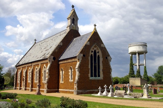
Cow Common Images
Images are sourced within 2km of 52.499544/0.188003 or Grid Reference TL4891. Thanks to Geograph Open Source API. All images are credited.


Cow Common is located at Grid Ref: TL4891 (Lat: 52.499544, Lng: 0.188003)
Division: Isle of Ely
Administrative County: Cambridgeshire
District: Fenland
Police Authority: Cambridgeshire
What 3 Words
///campfires.short.stated. Near Manea, Cambridgeshire
Nearby Locations
Related Wikis
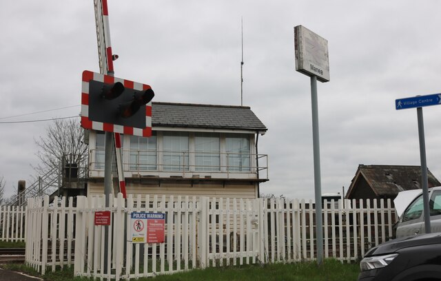
Manea railway station
Manea railway station is on the Ely–Peterborough line in the east of England and serves the village of Manea, Cambridgeshire. It is 80 miles 18 chains...

Manea, Cambridgeshire
Manea is a village and civil parish in the District of Fenland, Isle of Ely, Cambridgeshire, England. The population (including Welches Dam) of the civil...
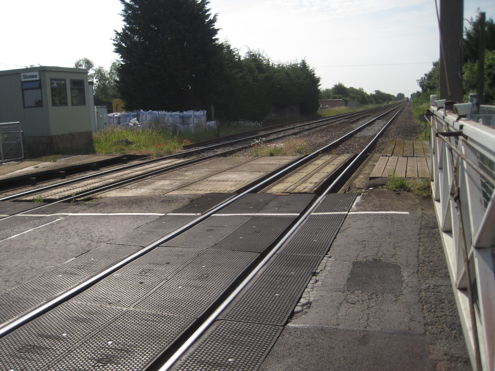
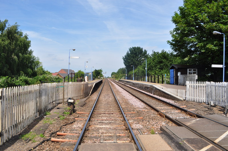
Stonea railway station
Stonea railway station is a former railway station serving the small village of Stonea, Cambridgeshire. Although the station closed in 1966, the line is...
Welney
Welney is a village and civil parish in the Fens of England, and the county of Norfolk. The village is about 10 miles (16 km) south-west of the town of...

Tipps End
Tipps End is an English hamlet on the B1100 road between Welney and Christchurch, Cambridgeshire. It is also sometimes referred to as "Tips End". It is...
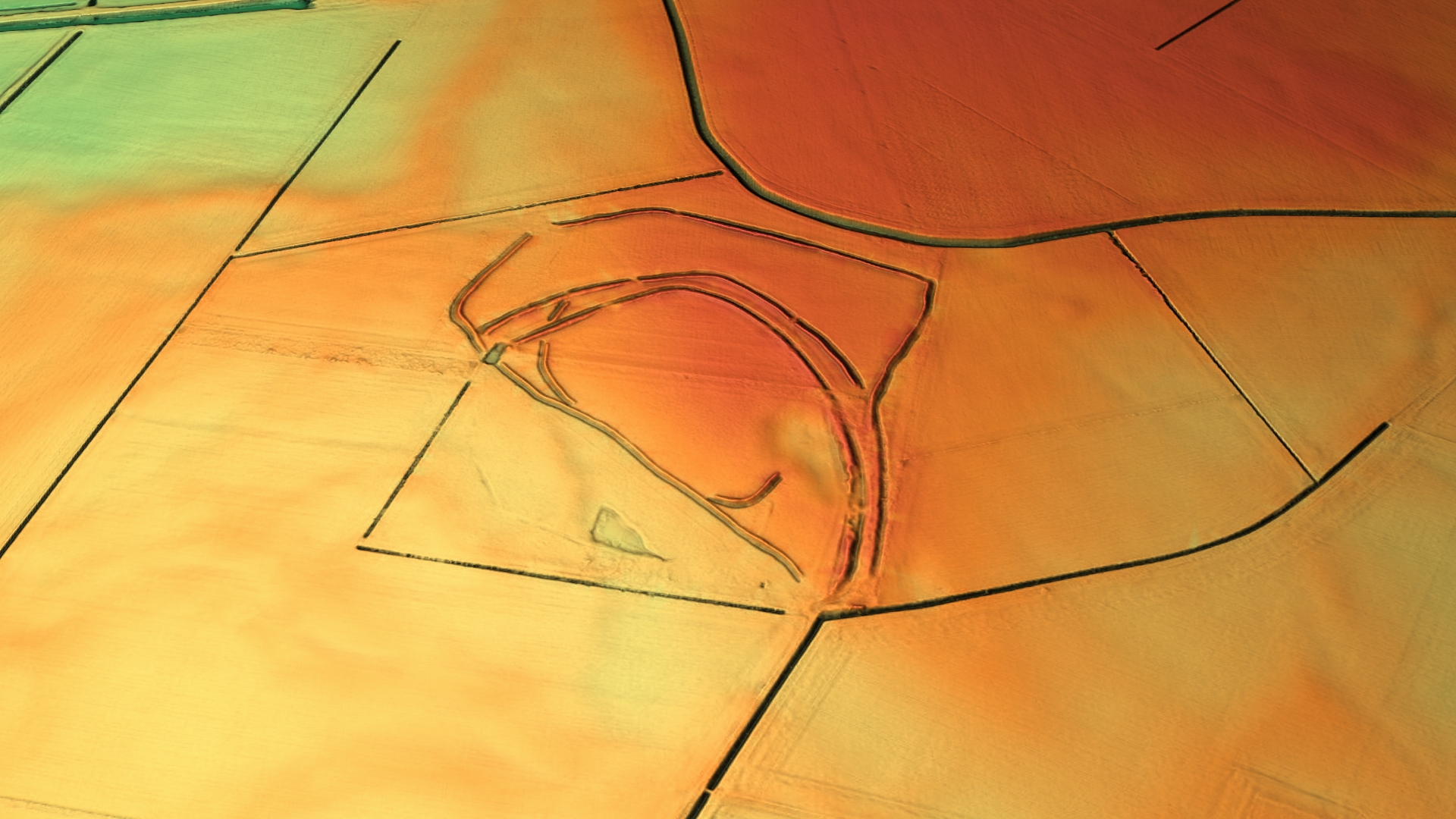
Stonea Camp
Stonea Camp is an Iron Age multivallate hill fort located at Stonea near March in the Cambridgeshire Fens. Situated on a gravel bank just 2 metres (6 ft...

Ouse Washes
Ouse Washes is a linear 2,513.6-hectare (6,211-acre) biological Site of Special Scientific Interest stretching from near St Ives in Cambridgeshire to Downham...
Pymoor
Pymoor is a village in Cambridgeshire in the vicinity of Ely and in the parish of Little Downham. There are approximately 390 residents according to the...
Have you been to Cow Common?
Leave your review of Cow Common below (or comments, questions and feedback).