Bishop's Land
Downs, Moorland in Cambridgeshire Fenland
England
Bishop's Land

Bishop's Land, located in Cambridgeshire, is a rural area known for its picturesque downs and moorland. Situated in the eastern part of England, the region is characterized by its rolling landscapes and diverse wildlife.
The downs of Bishop's Land are expansive grassy hills that offer breathtaking views of the surrounding countryside. These downs are a result of ancient geological processes that shaped the land millions of years ago. Visitors can enjoy leisurely walks or hikes along the well-maintained trails that crisscross the downs, taking in the natural beauty and tranquility of the area.
In addition to the downs, Bishop's Land boasts vast moorland areas that provide a unique habitat for a variety of plant and animal species. Moorland is characterized by its wet and boggy conditions, with patches of heather and low-lying vegetation. Birdwatching enthusiasts can spot a range of avian species, including merlins, short-eared owls, and red grouse, which are native to this type of environment.
Bishop's Land is also known for its rich history and cultural heritage. The area is dotted with picturesque villages, each with its own unique charm. The local community takes great pride in preserving the traditional architecture and maintaining the cultural traditions that have been passed down through generations.
Overall, Bishop's Land in Cambridgeshire offers a peaceful and idyllic getaway for nature lovers, history enthusiasts, and those seeking a break from the bustling city life. Whether exploring the downs, traversing the moorland, or immersing oneself in the local culture, a visit to Bishop's Land promises to be a memorable experience.
If you have any feedback on the listing, please let us know in the comments section below.
Bishop's Land Images
Images are sourced within 2km of 52.475185/0.18563087 or Grid Reference TL4888. Thanks to Geograph Open Source API. All images are credited.


Bishop's Land is located at Grid Ref: TL4888 (Lat: 52.475185, Lng: 0.18563087)
Division: Isle of Ely
Administrative County: Cambridgeshire
District: Fenland
Police Authority: Cambridgeshire
What 3 Words
///fastening.bravo.scrolled. Near Manea, Cambridgeshire
Nearby Locations
Related Wikis

Manea, Cambridgeshire
Manea is a village and civil parish in the District of Fenland, Isle of Ely, Cambridgeshire, England. The population (including Welches Dam) of the civil...

Ouse Washes
Ouse Washes is a linear 2,513.6-hectare (6,211-acre) biological Site of Special Scientific Interest stretching from near St Ives in Cambridgeshire to Downham...
Pymoor
Pymoor is a village in Cambridgeshire in the vicinity of Ely and in the parish of Little Downham. There are approximately 390 residents according to the...
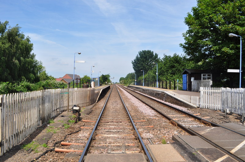
Manea railway station
Manea railway station is on the Ely–Peterborough line in the east of England and serves the village of Manea, Cambridgeshire. It is 80 miles 18 chains...

North West Cambridgeshire (UK Parliament constituency)
North West Cambridgeshire is a county constituency represented in the House of Commons of the Parliament of the United Kingdom since 2005 by Shailesh Vara...

Welches Dam
Welches Dam is a hamlet and former civil parish, now in the parish of Manea, in the Fenland district, in the county of Cambridgeshire, England. It is around...
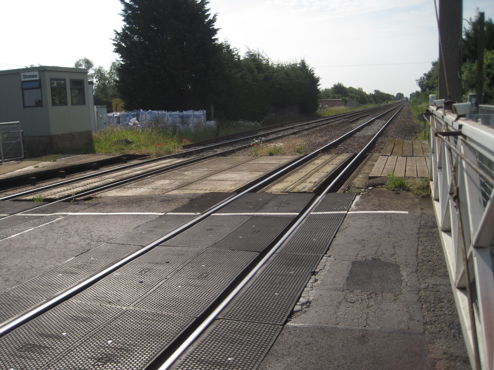
Stonea railway station
Stonea railway station is a former railway station serving the small village of Stonea, Cambridgeshire. Although the station closed in 1966, the line is...
Welney
Welney is a village and civil parish in the Fens of England, and the county of Norfolk. The village is about 10 miles (16 km) south-west of the town of...
Related Videos

#WildWednesday 78. (13/12/2023)
A crack-of-dawn visit to the Ouse Washes to witness the winter spectacle whooper swans leaving their overnight roost.

Christmas Lights and Displays at Manea on 8 December 2019
Christmas Lights and Displays at Manea, Cambridgeshire, England on 8 December 2019.
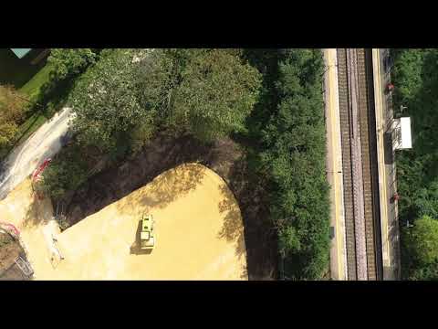
CIVIL ENGINEERING: Manea Railway Station Car Park - Early Progress
Danaher & Walsh Civil Engineering has commenced works to construct a new car park at Manea railway station in ...

Cross country 170398 on a passenger service passes through welney road at manea on 12/1/23
Cross country 170398 on a passenger service passes through welney road at manea on 12/1/23.
Nearby Amenities
Located within 500m of 52.475185,0.18563087Have you been to Bishop's Land?
Leave your review of Bishop's Land below (or comments, questions and feedback).