Five Hundred Rough
Downs, Moorland in Sussex Wealden
England
Five Hundred Rough
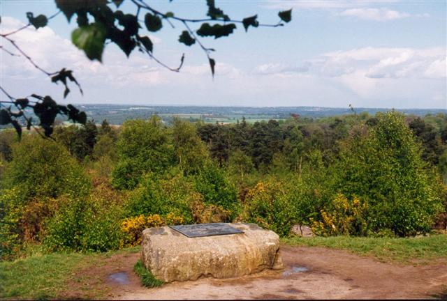
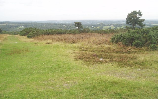
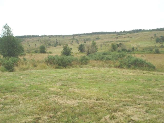
Five Hundred Rough is a picturesque area located in the county of Sussex, England. Situated amidst the stunning Sussex Downs, this landscape boasts a unique blend of rugged moorland and rolling hills, creating a visually captivating scene. Spanning an extensive area of approximately 500 acres, Five Hundred Rough is a haven for nature enthusiasts and outdoor lovers.
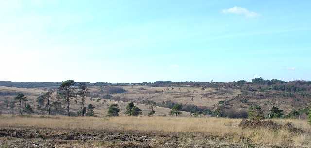
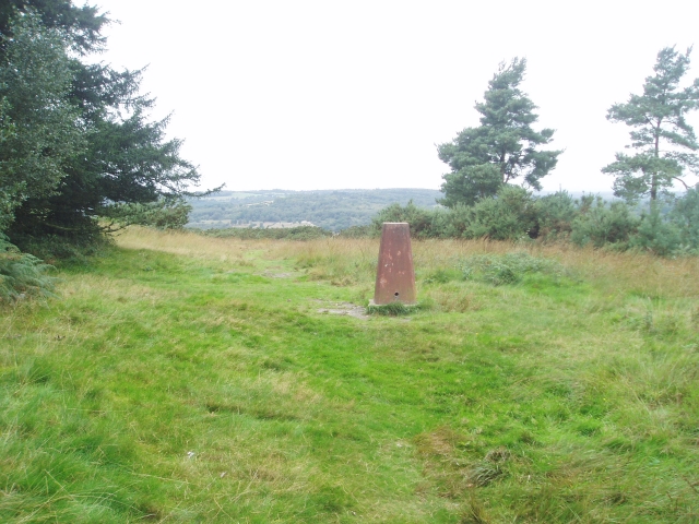
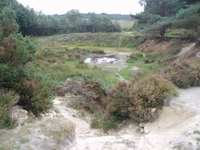
The terrain of Five Hundred Rough is characterized by a mix of heathland, grassland, and shrubbery, creating diverse habitats for a wide range of flora and fauna. The moorland is adorned with vibrant purple heather, interspersed with patches of gorse and bracken, providing a striking contrast against the greenery of the surrounding hills. This creates a mesmerizing landscape that changes hues with the seasons, offering a different experience throughout the year.
The area is abundant in wildlife, hosting various species of birds, mammals, and insects. It is common to spot kestrels, buzzards, and skylarks soaring above the moorland, adding to the area's allure. Additionally, Five Hundred Rough is home to a variety of reptiles, including adders and slow worms, which thrive in the heathland environment.
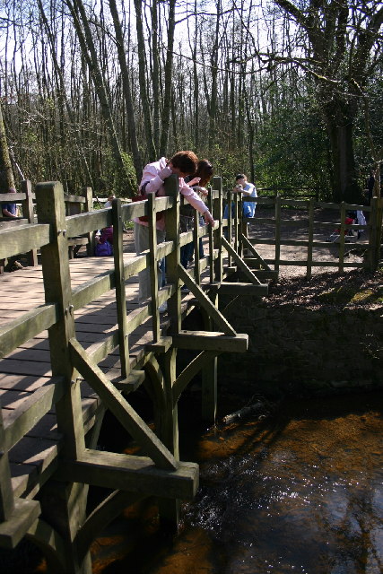
Given its natural beauty and biodiversity, Five Hundred Rough is a popular destination for hikers, nature walks, and wildlife photography. The undulating terrain offers numerous trails and paths, allowing visitors to explore the area at their own pace. Whether it's a leisurely stroll or an adventurous hike, Five Hundred Rough provides a unique opportunity to connect with nature and immerse oneself in the tranquil surroundings of the Sussex Downs.
If you have any feedback on the listing, please let us know in the comments section below.
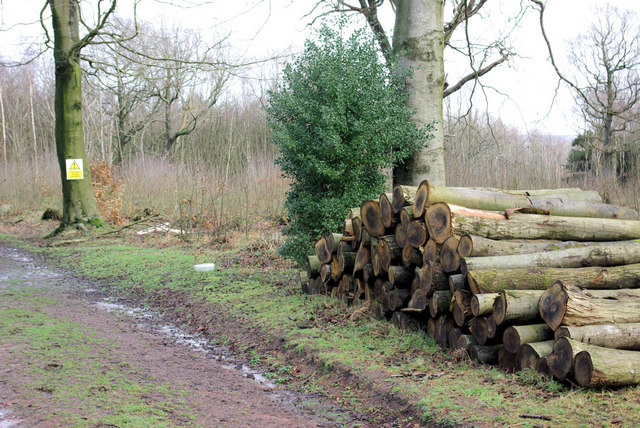
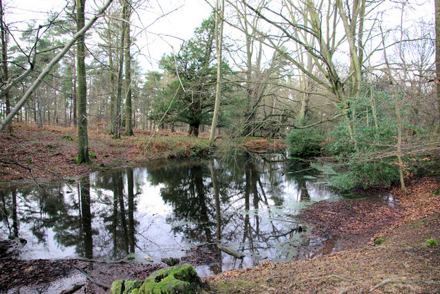
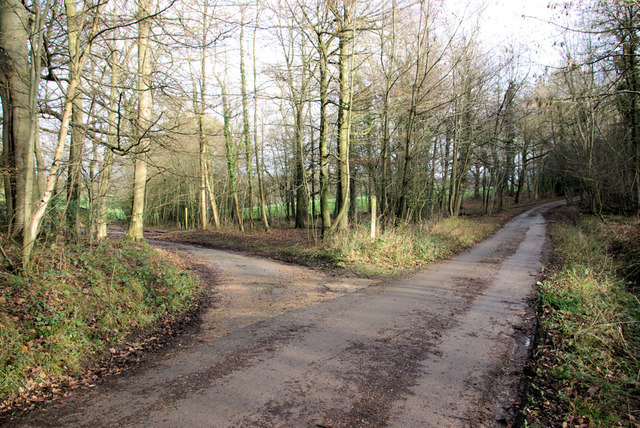
Five Hundred Rough Images
Images are sourced within 2km of 51.074528/0.10786831 or Grid Reference TQ4732. Thanks to Geograph Open Source API. All images are credited.


Five Hundred Rough is located at Grid Ref: TQ4732 (Lat: 51.074528, Lng: 0.10786831)
Administrative County: East Sussex
District: Wealden
Police Authority: Sussex
What 3 Words
///sounds.silver.untrained. Near Crowborough, East Sussex
Nearby Locations
Related Wikis
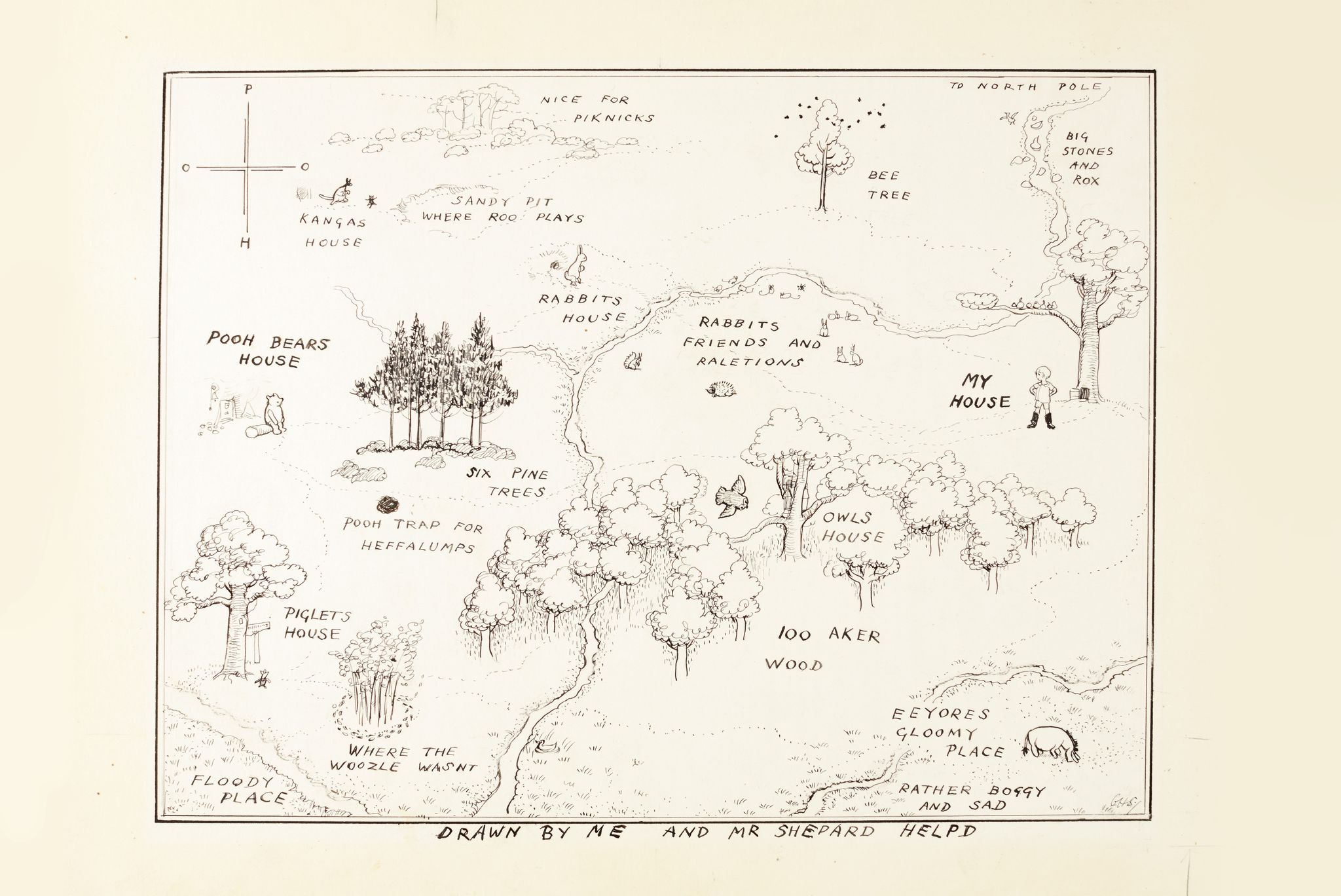
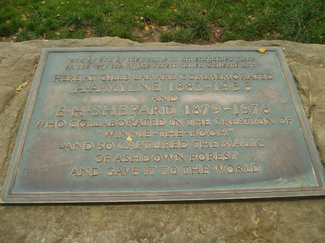
Hundred Acre Wood
The Hundred Acre Wood (also spelled as 100 Aker Wood, Hundred-Acre Wood, and 100 Acre Wood; also known as simply "The Wood") is a part of the fictional...

Cotchford Farm
Cotchford Farm is a farmhouse building to the southwest of the village of Hartfield, East Sussex, in the High Weald Area of Outstanding Natural Beauty...

Upper Hartfield
Upper Hartfield is a small village slightly west of Hartfield in East Sussex, England. The Tudor house "Apedroc" in Upper Hartfield is the former home...
Withyham Priory
Withyham Priory was a Benedictine monastic house in East Sussex, extant in 1086 and dissolved in 1413. == History == Robert, Count of Mortain, some time...

Old Lodge
Old Lodge is a 103.1-hectare (255-acre) Local Nature Reserve west of Crowborough in East Sussex. It is privately owned. It is managed by Sussex Wildlife...

Hartfield
Hartfield is a village and civil parish in the Wealden district of East Sussex, England. The parish also includes the settlements of Colemans Hatch, Hammerwood...

Buckhurst Park, East Sussex
Buckhurst Park is an English country house and landscaped park in Withyham, East Sussex. It is the seat of William Sackville, 11th Earl De La Warr.The...

Withyham
Withyham is a village and large civil parish in the Wealden district of East Sussex, England. The village is situated 7 miles south west of Royal Tunbridge...
Nearby Amenities
Located within 500m of 51.074528,0.10786831Have you been to Five Hundred Rough?
Leave your review of Five Hundred Rough below (or comments, questions and feedback).