Skeg Fen
Downs, Moorland in Cambridgeshire East Cambridgeshire
England
Skeg Fen
Skeg Fen is a rural area located in Cambridgeshire, England. It is situated on the eastern side of the county, near the town of Peterborough. Known for its diverse landscape, Skeg Fen encompasses both downs and moorland.
The downs in Skeg Fen are characterized by rolling hills and open grasslands. These areas provide picturesque views and are often frequented by hikers and nature enthusiasts. The downs are home to a variety of plant and animal species, including wildflowers and grazing livestock.
On the other hand, the moorland in Skeg Fen features vast expanses of wet and boggy terrain. This unique ecosystem is characterized by low-growing vegetation, such as heather and peat moss. The moorland is also home to several bird species, including curlews and lapwings, which thrive in the wetland environment.
Skeg Fen offers a tranquil and peaceful escape from urban life. Visitors can enjoy long walks, birdwatching, and even spot rare species that are native to the area. The diverse landscape of downs and moorland provides an opportunity to explore contrasting natural environments within a relatively small area.
In addition to its natural beauty, Skeg Fen is also rich in history. The area has archaeological sites dating back to the Bronze Age, and remnants of ancient settlements can still be found. These historical features add to the charm and intrigue of Skeg Fen, making it a fascinating destination for those interested in both nature and history.
If you have any feedback on the listing, please let us know in the comments section below.
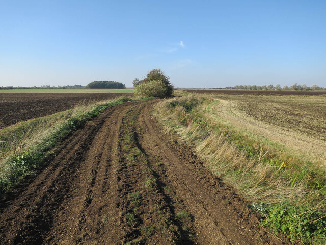
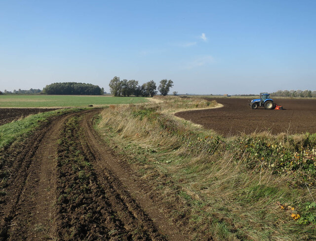
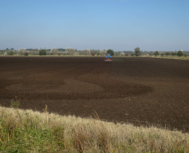
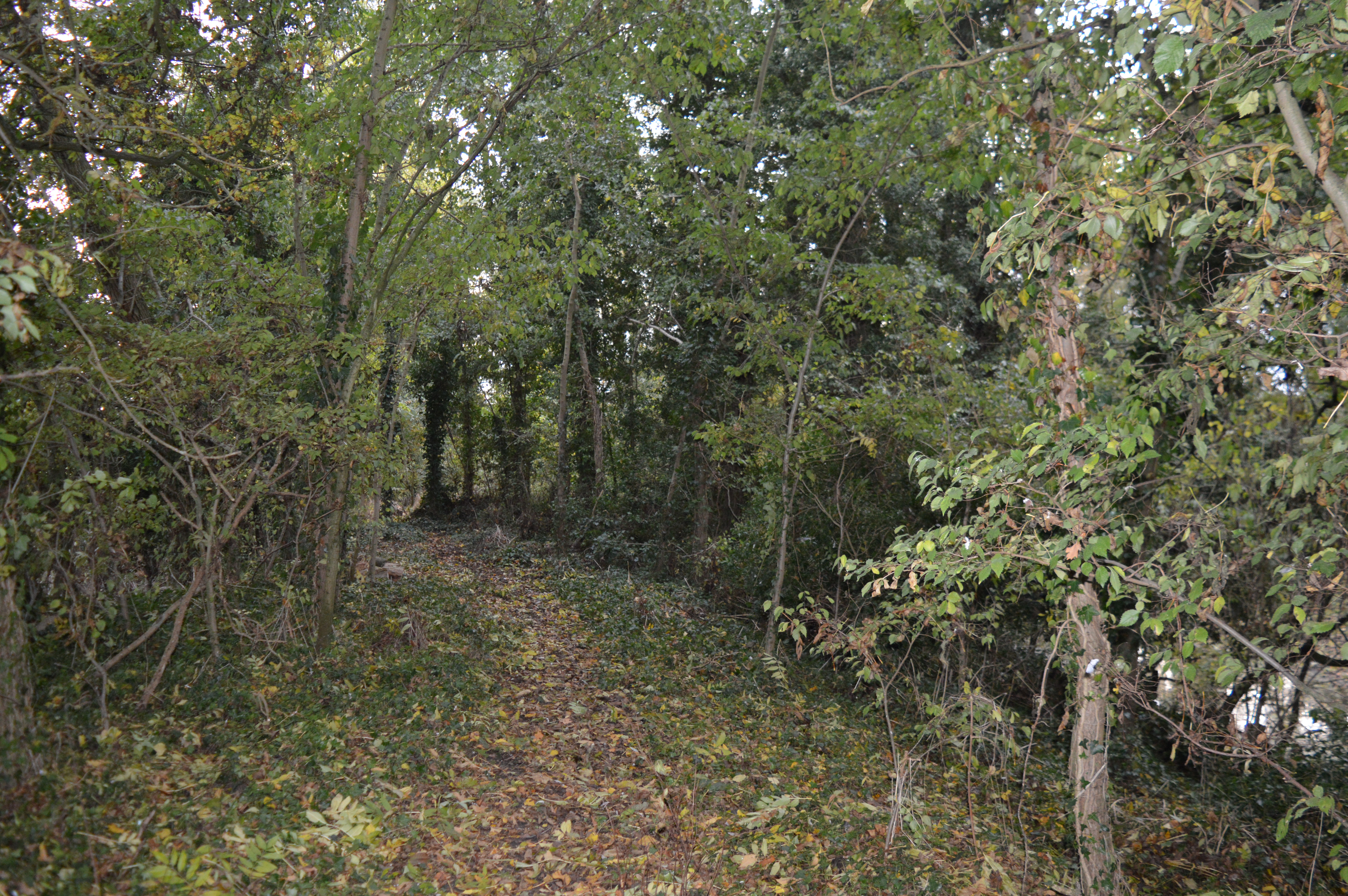
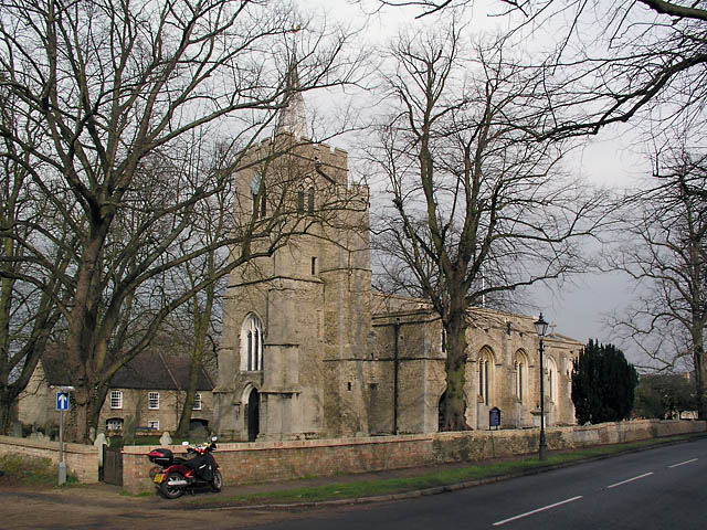
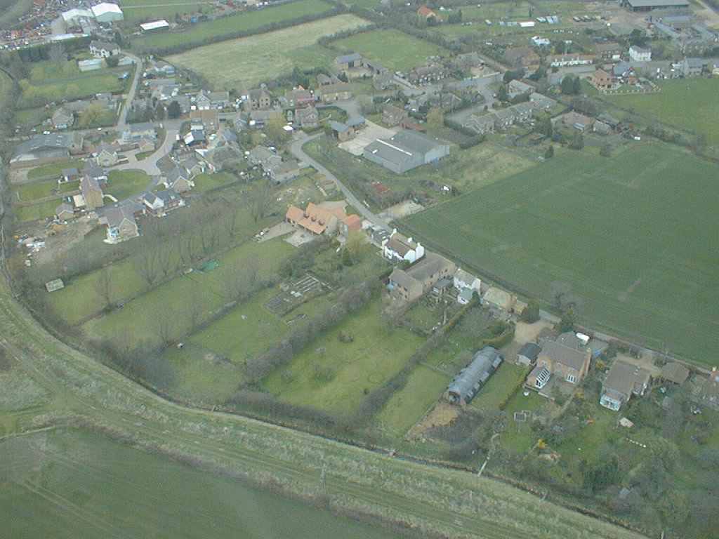
Skeg Fen Images
Images are sourced within 2km of 52.330866/0.15928125 or Grid Reference TL4772. Thanks to Geograph Open Source API. All images are credited.


Skeg Fen is located at Grid Ref: TL4772 (Lat: 52.330866, Lng: 0.15928125)
Division: Isle of Ely
Administrative County: Cambridgeshire
District: East Cambridgeshire
Police Authority: Cambridgeshire
What 3 Words
///calms.screening.rabble. Near Wilburton, Cambridgeshire
Nearby Locations
Related Wikis

Huntingdonshire Football Association
The Huntingdonshire Football Association, also simply known as the Huntingdonshire FA, is the governing body of football in Huntingdonshire. == References... ==
Doghouse Grove
Doghouse Grove is a 0.8-hectare (2.0-acre) nature reserve in Wilburton in Cambridgeshire. It is managed by the Wildlife Trust for Bedfordshire, Cambridgeshire...
Wilburton
Wilburton is a small village of just over 1,000 inhabitants, situated in Cambridgeshire, England. It is 6 miles south west of Ely. While nominally an agricultural...
Aldreth
Aldreth is a hamlet in Cambridgeshire with about 260 residents (2001 census). It is located near the larger village of Haddenham (where the population...

Haddenham, Cambridgeshire
Haddenham is a village and civil parish in Cambridgeshire, England. In the 2001 census the parish had a population of 3,228. The 2011 census reported a...
Mereham
Mereham was a potential new town near Ely in East Cambridgeshire, England. Developer Multiplex Stannifer has not received planning permission yet. East...

Chittering, Cambridgeshire
Chittering is a hamlet about 8 miles (13 km) north of Cambridge in Cambridgeshire, England. For administrative purposes it is part of the parish of Waterbeach...

Haddenham railway station (Cambridgeshire)
Haddenham railway station was a station in Haddenham, Cambridgeshire. It was first opened in 1866 by the Ely, Haddenham and Sutton Railway. It closed to...
Nearby Amenities
Located within 500m of 52.330866,0.15928125Have you been to Skeg Fen?
Leave your review of Skeg Fen below (or comments, questions and feedback).