Church Field
Downs, Moorland in Cambridgeshire South Cambridgeshire
England
Church Field
Church Field is a picturesque area located in Cambridgeshire, England, known for its stunning downs and moorland landscapes. With an approximate size of 200 acres, the field is situated in close proximity to a charming village, adding to its rural appeal.
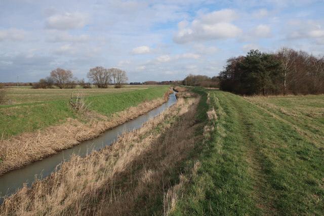
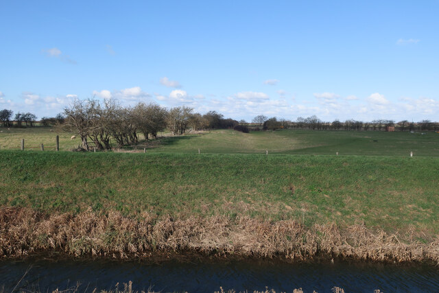
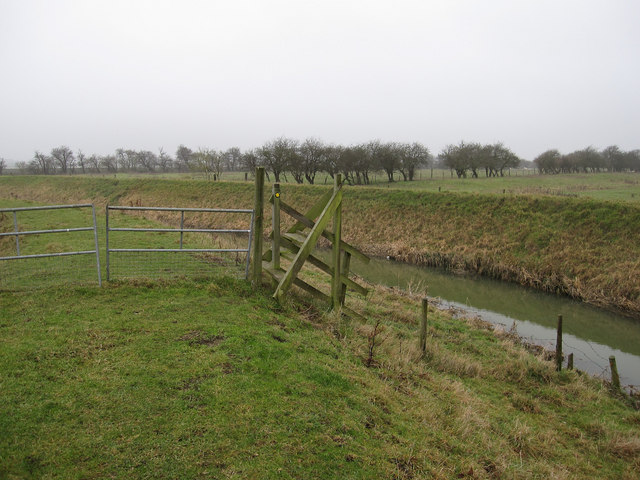
The downs in Church Field are characterized by rolling hills covered in lush green grass and dotted with vibrant wildflowers during the summer months. These hills offer breathtaking panoramic views of the surrounding countryside, making it a popular spot for walking, picnicking, and enjoying the tranquility of nature. The gentle slopes of the downs also attract kite flyers and model aircraft enthusiasts, providing ample space for their recreational activities.
Adjacent to the downs, the moorland in Church Field showcases a diverse range of flora and fauna. Here, visitors can observe an array of indigenous plants, including heather, gorse, and various grasses. The moorland is also home to several species of birds, such as skylarks, curlews, and lapwings, making it a haven for birdwatchers and nature enthusiasts.
The beauty of Church Field is further enhanced by the presence of a historic church, which lends the field its name. The church, dating back to the 12th century, adds a touch of charm and heritage to the landscape, attracting history buffs and architectural enthusiasts alike.
Overall, Church Field in Cambridgeshire offers a tranquil escape from the bustling city life, providing visitors with ample opportunities to immerse themselves in the natural beauty of downs and moorland while enjoying the rich history and cultural heritage of the area.
If you have any feedback on the listing, please let us know in the comments section below.
Church Field Images
Images are sourced within 2km of 52.292813/0.14301449 or Grid Reference TL4668. Thanks to Geograph Open Source API. All images are credited.


Church Field is located at Grid Ref: TL4668 (Lat: 52.292813, Lng: 0.14301449)
Administrative County: Cambridgeshire
District: South Cambridgeshire
Police Authority: Cambridgeshire
What 3 Words
///rejected.sharpens.filer. Near Cottenham, Cambridgeshire
Nearby Locations
Related Wikis

Fen Edge
Fen Edge is an area and collection of villages in the South Cambridgeshire district of Cambridgeshire, England. The five villages in Fen Edge are Cottenham...

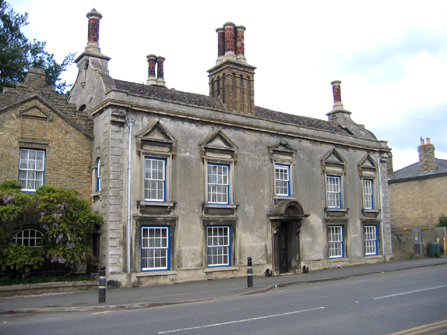
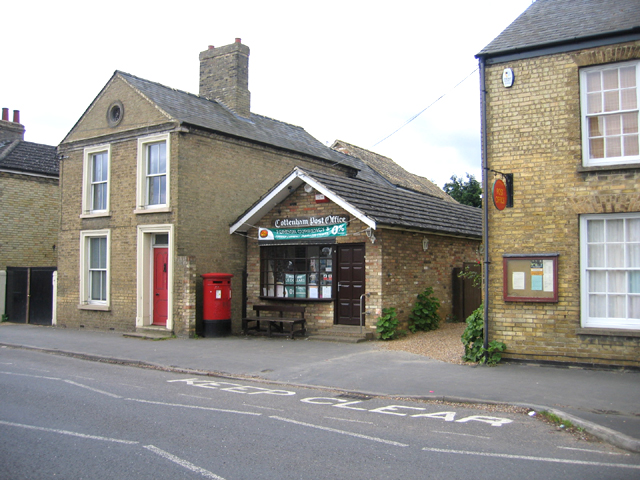
Cottenham
Cottenham is a village in Cambridgeshire, England. Cottenham is one of the larger villages surrounding the city of Cambridge, located around five miles...
Cottenham Village College
Cottenham Village College is an academy school located in Cottenham, Cambridgeshire, England. The school offers secondary education to pupils from the...
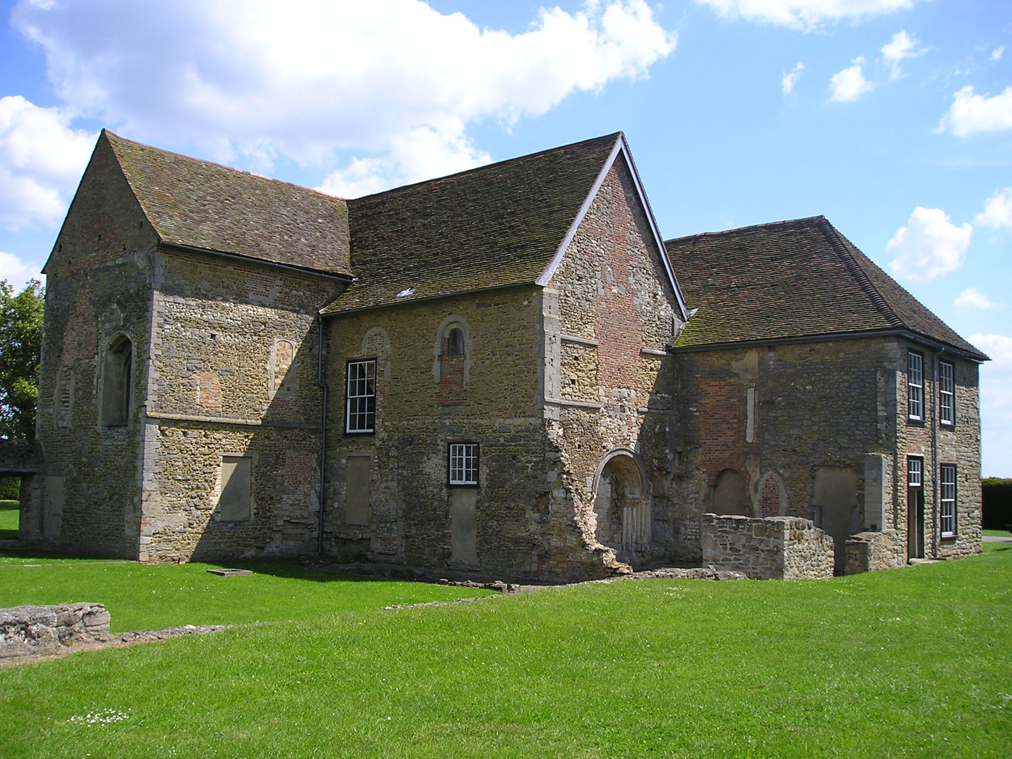
Denny Abbey
Denny Abbey is a former abbey near Waterbeach, about 6 miles (10 km) north of Cambridge in Cambridgeshire, England. It is now the Farmland Museum and Denny...
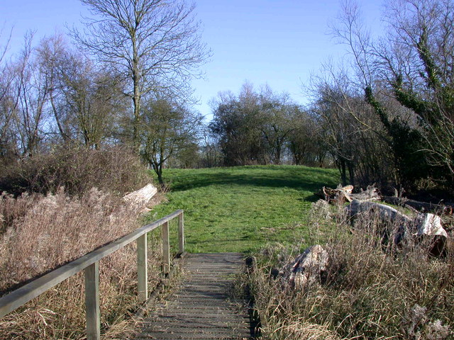
Rampton Castle
Rampton Castle, known locally as Giant's Hill, is the earthwork remains of a motte and bailey castle in Rampton, Cambridgeshire. It is believed that the...
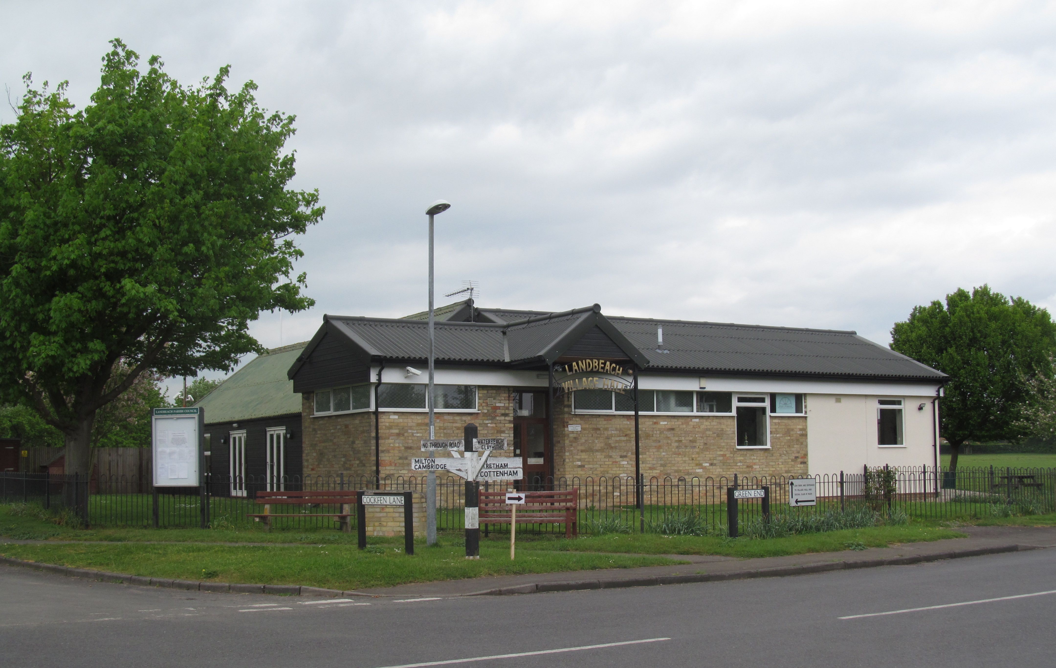
Landbeach
Landbeach is a small fen-edge English village about three miles (5 km) north of Cambridge. The parish covers an area of 9 km2 (3.5 sq mi). == History... ==
Rampton, Cambridgeshire
Rampton is a village in Cambridgeshire, England, situated on the edge of The Fens six miles to the north of Cambridge. == History == The edge of the Fens...
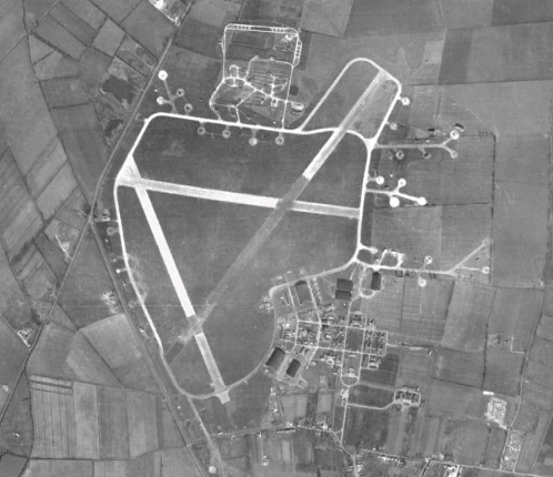
RAF Waterbeach
Royal Air Force Waterbeach or more simply RAF Waterbeach is a former Royal Air Force station located in Waterbeach, Cambridgeshire which is about 5.5 miles...
Nearby Amenities
Located within 500m of 52.292813,0.14301449Have you been to Church Field?
Leave your review of Church Field below (or comments, questions and feedback).