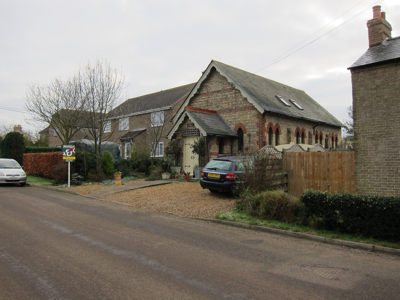
Byall Fen
Downs, Moorland in Cambridgeshire Fenland
England
Byall Fen

Byall Fen is a picturesque area located in the county of Cambridgeshire, England. Situated in the eastern part of the county, it is characterized by its diverse landscape, encompassing both downs and moorlands.
The downs in Byall Fen are gently rolling hills covered with lush green grass and scattered with vibrant wildflowers during the spring and summer months. The area offers breathtaking panoramic views of the surrounding countryside, making it a popular spot for hikers and nature enthusiasts. The downs are also home to a variety of wildlife, including birds, rabbits, and deer, making it an ideal location for birdwatching and wildlife photography.
In contrast, the moorland in Byall Fen is more rugged and characterized by its heather-covered expanses. The moorland provides a unique habitat for a range of plant and animal species, including rare orchids and reptiles such as adders and lizards. This diverse ecosystem attracts both local and visiting nature lovers, who enjoy exploring the moorland on foot or by bike.
Byall Fen is also known for its peaceful and tranquil atmosphere, providing visitors with a chance to escape the hustle and bustle of city life. The area is dotted with charming villages, offering quaint pubs and tea rooms where visitors can relax and enjoy local delicacies.
Overall, Byall Fen in Cambridgeshire offers a harmonious blend of downs and moorlands, providing a haven for outdoor enthusiasts and an opportunity to immerse oneself in the beauty of nature.
If you have any feedback on the listing, please let us know in the comments section below.
Byall Fen Images
Images are sourced within 2km of 52.456307/0.14707428 or Grid Reference TL4586. Thanks to Geograph Open Source API. All images are credited.


Byall Fen is located at Grid Ref: TL4586 (Lat: 52.456307, Lng: 0.14707428)
Division: Isle of Ely
Administrative County: Cambridgeshire
District: Fenland
Police Authority: Cambridgeshire
What 3 Words
///scribbled.reserve.universe. Near Manea, Cambridgeshire
Related Wikis
Welches Dam
Welches Dam is a hamlet and former civil parish, now in the parish of Manea, in the Fenland district, in the county of Cambridgeshire, England. It is around...
Ouse Washes
Ouse Washes is a linear 2,513.6-hectare (6,211-acre) biological Site of Special Scientific Interest stretching from near St Ives in Cambridgeshire to Downham...
Manea, Cambridgeshire
Manea is a village and civil parish in the District of Fenland, Isle of Ely, Cambridgeshire, England. The population (including Welches Dam) of the civil...
North West Cambridgeshire (UK Parliament constituency)
North West Cambridgeshire is a county constituency represented in the House of Commons of the Parliament of the United Kingdom since 2005 by Shailesh Vara...
Pymoor
Pymoor is a village in Cambridgeshire in the vicinity of Ely and in the parish of Little Downham. There are approximately 390 residents according to the...
Stonea
Stonea is a hamlet in Cambridgeshire, England, south east of March and part of the parish of Wimblington. Stonea today consists of a scattered collection...
Wardy Hill
Wardy Hill is a hamlet in Coveney civil parish, part of East Cambridgeshire, England. It is also the site of a former Iron Age Hill fort == References ==
Ely Rural District
Ely Rural District was a rural district in England from 1894 to 1974. It was named after Ely, but did not include the city itself, instead covering the...
Nearby Amenities
Located within 500m of 52.456307,0.14707428Have you been to Byall Fen?
Leave your review of Byall Fen below (or comments, questions and feedback).


