Holme Fen
Downs, Moorland in Cambridgeshire East Cambridgeshire
England
Holme Fen
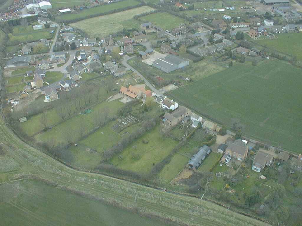
Holme Fen, located in Cambridgeshire, is a unique and fascinating natural site that encompasses downs and moorland. It is known for being the lowest land point in Great Britain, lying approximately 2.75 meters (9 feet) below sea level. This makes it a popular destination for those interested in geographical anomalies.
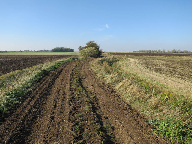
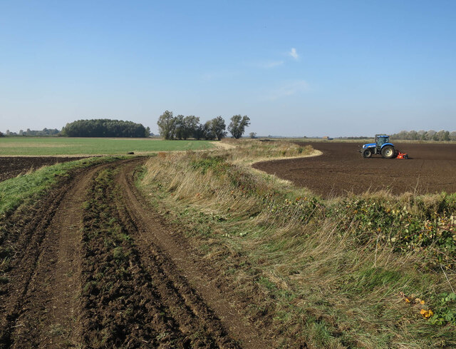
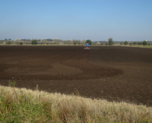
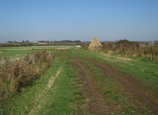
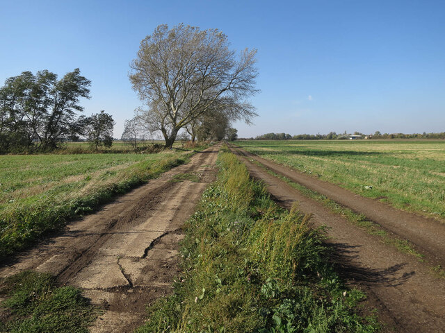
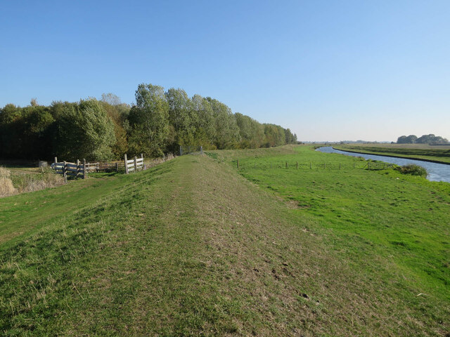
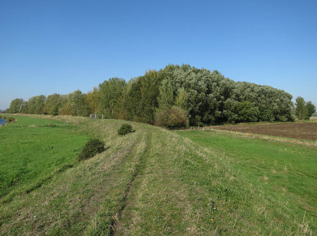
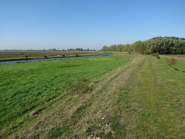
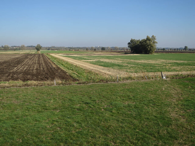
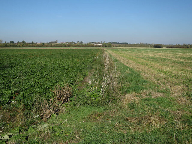
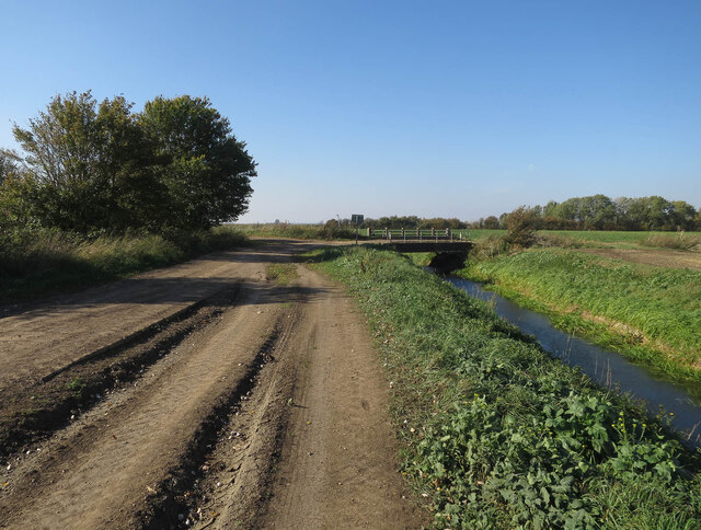
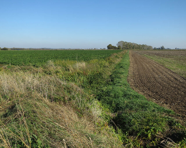
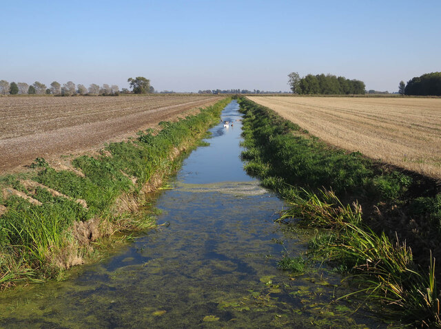
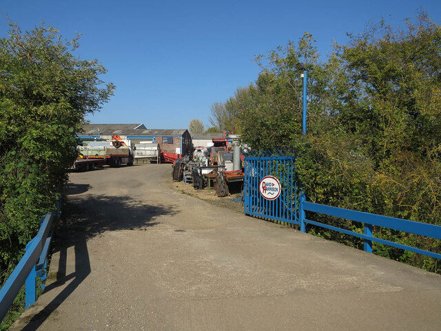
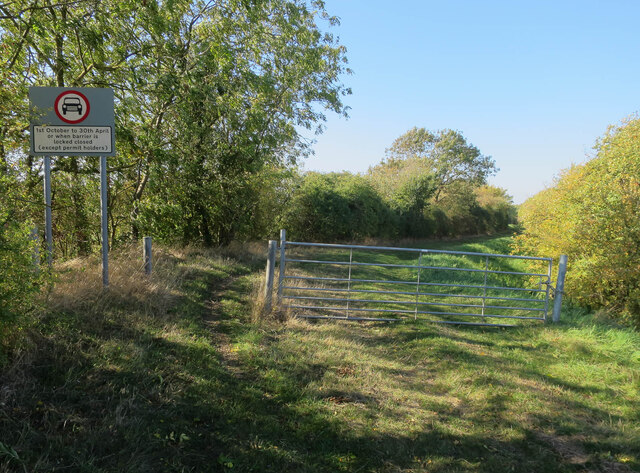
The fen is situated in the northeast of the county, near the village of Holme, and covers an extensive area of around 660 hectares (1,630 acres). It is characterized by its flat, marshy terrain, with a combination of wetlands, peat bogs, and heathland. The landscape is dotted with numerous ponds and small lakes, which add to its aesthetic appeal.
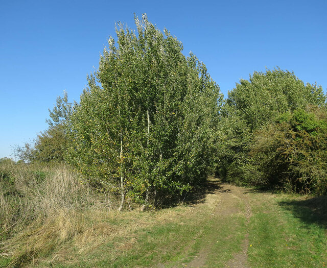
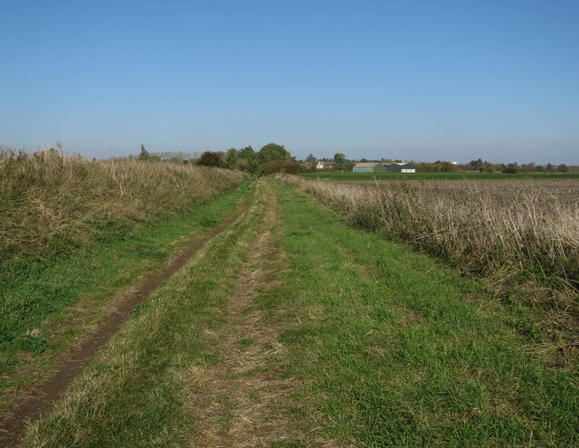
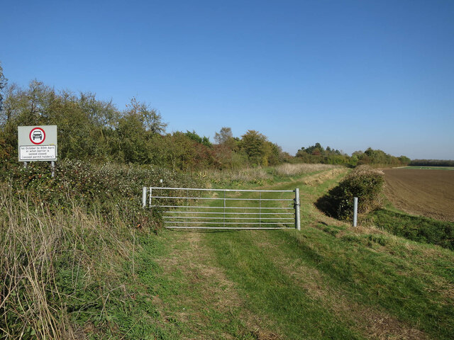
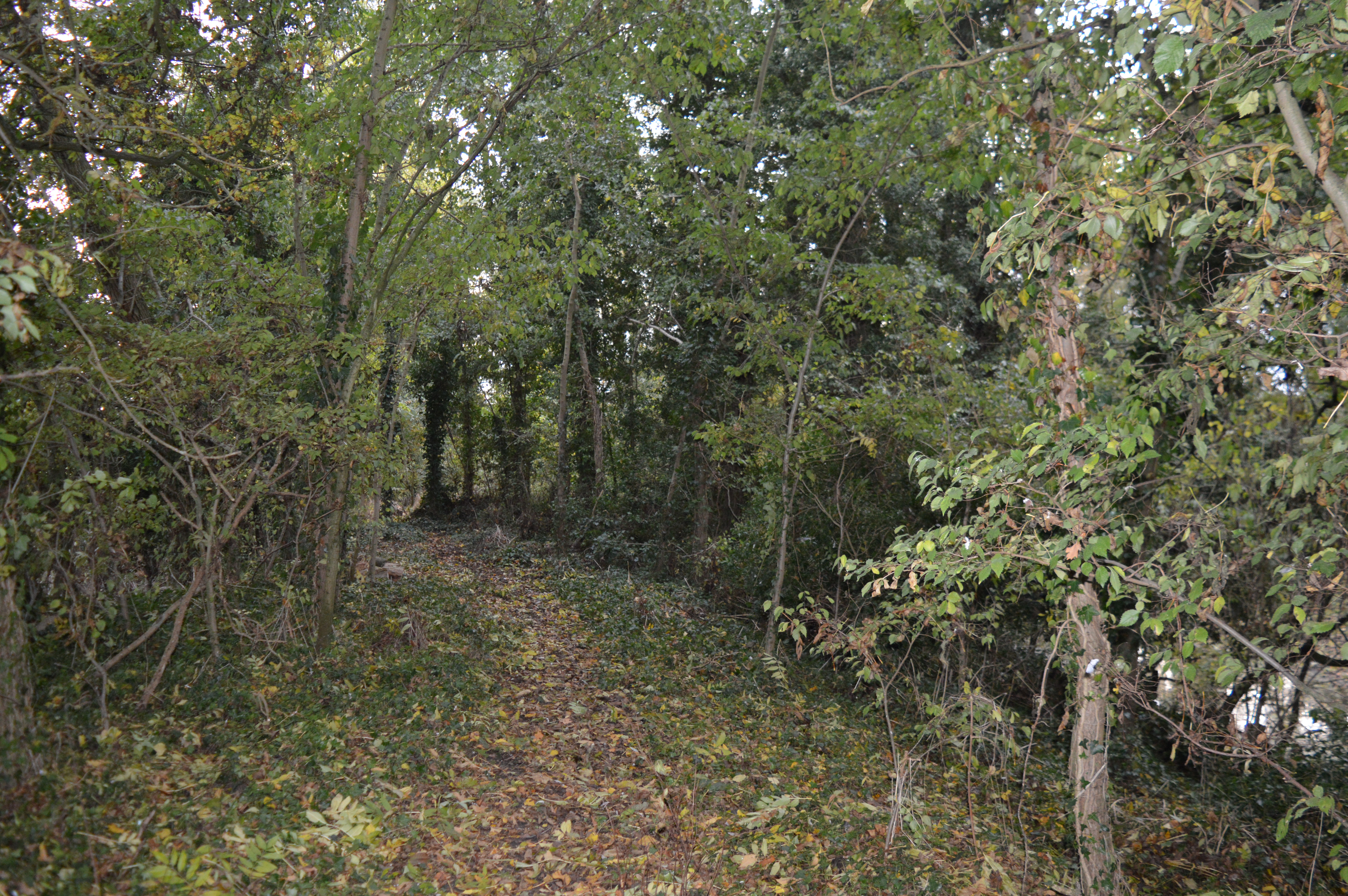
Visitors to Holme Fen can enjoy picturesque walks or hikes along its designated trails, immersing themselves in the tranquil environment and observing the diverse wildlife that inhabits the area. The fen is home to a variety of plant species, including sphagnum moss, heather, and various types of reeds, creating a visually stunning mosaic of colors.
Birdwatchers will also find Holme Fen to be a haven, as it attracts a wide range of avian species. Rare birds such as the bittern and the bearded tit can be spotted, along with more common waterfowl like ducks and geese.
Overall, Holme Fen offers a unique experience for nature enthusiasts and those seeking to explore the varied landscapes of Cambridgeshire. Its low-lying location, diverse vegetation, and abundant wildlife make it a captivating destination for visitors of all ages.
If you have any feedback on the listing, please let us know in the comments section below.
Holme Fen Images
Images are sourced within 2km of 52.332496/0.13593505 or Grid Reference TL4572. Thanks to Geograph Open Source API. All images are credited.
Holme Fen is located at Grid Ref: TL4572 (Lat: 52.332496, Lng: 0.13593505)
Division: Isle of Ely
Administrative County: Cambridgeshire
District: East Cambridgeshire
Police Authority: Cambridgeshire
What 3 Words
///degrading.nylon.mural. Near Haddenham, Cambridgeshire
Nearby Locations
Related Wikis
Aldreth
Aldreth is a hamlet in Cambridgeshire with about 260 residents (2001 census). It is located near the larger village of Haddenham (where the population...

Haddenham, Cambridgeshire
Haddenham is a village and civil parish in Cambridgeshire, England. In the 2001 census the parish had a population of 3,228. The 2011 census reported a...
Doghouse Grove
Doghouse Grove is a 0.8-hectare (2.0-acre) nature reserve in Wilburton in Cambridgeshire. It is managed by the Wildlife Trust for Bedfordshire, Cambridgeshire...
Wilburton
Wilburton is a small village of just over 1,000 inhabitants, situated in Cambridgeshire, England. It is 6 miles south west of Ely. While nominally an agricultural...

Huntingdonshire Football Association
The Huntingdonshire Football Association, also simply known as the Huntingdonshire FA, is the governing body of football in Huntingdonshire. == References... ==

Haddenham railway station (Cambridgeshire)
Haddenham railway station was a station in Haddenham, Cambridgeshire. It was first opened in 1866 by the Ely, Haddenham and Sutton Railway. It closed to...

Belsar's Hill
Belsar's Hill is a hillfort near Willingham, Cambridgeshire, England. == Description == Belsar's Hill is an oval-shaped area, 265–220 metres (869–722 ft...
Fen Edge
Fen Edge is an area and collection of villages in the South Cambridgeshire district of Cambridgeshire, England. The five villages in Fen Edge are Cottenham...
Nearby Amenities
Located within 500m of 52.332496,0.13593505Have you been to Holme Fen?
Leave your review of Holme Fen below (or comments, questions and feedback).