Rye Hill Common

Downs, Moorland in Essex Epping Forest

England

Rye Hill Common

Layby on London Road, Hastingwood
Layby on London Road, Hastingwood Credit: David Howard

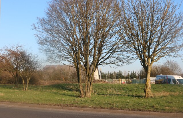
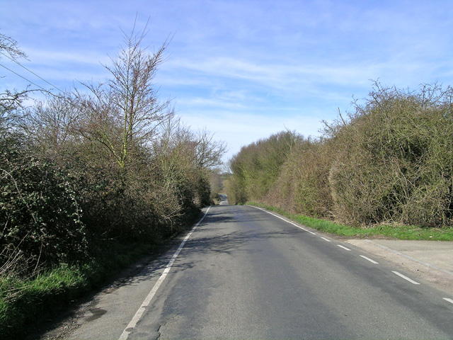
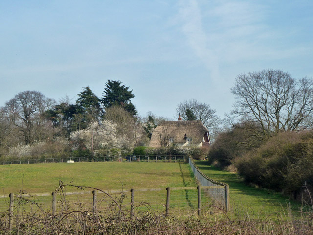
Rye Hill Common, located in Essex, England, is a picturesque area encompassing downs and moorland. Spanning over a vast expanse, it offers visitors a diverse and unique landscape to explore. The common is situated in close proximity to the town of Chelmsford, making it easily accessible to both locals and tourists.

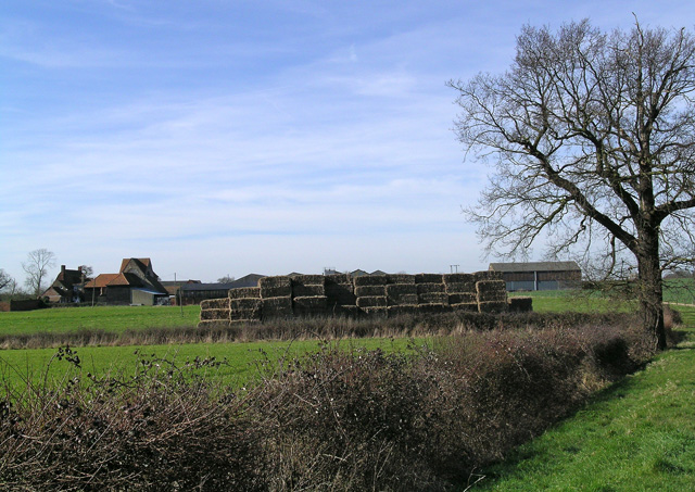
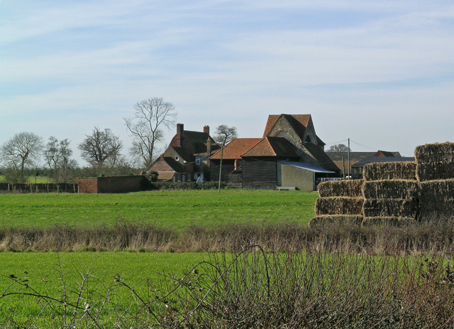
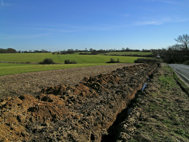
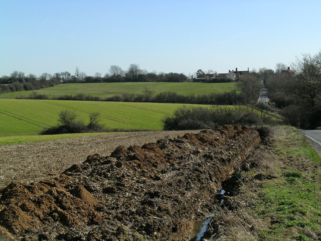
At Rye Hill Common, one can expect to find rolling hills covered in lush green grass, dotted with wildflowers during the warmer months. These downs provide a stunning panoramic view of the surrounding countryside, offering a sense of tranquility and escape from the hustle and bustle of urban life.

The moorland section of the common introduces visitors to a different ambiance, with its heather-covered terrain and scattered gorse bushes. This area is home to a variety of wildlife, including numerous bird species, rabbits, and other small mammals. Nature enthusiasts will delight in the opportunity to observe and appreciate the natural habitats and ecosystems that thrive within Rye Hill Common.

The common is also a popular destination for outdoor activities such as hiking, walking, and picnicking. Its extensive network of well-maintained footpaths allows visitors to explore the area at their own pace, taking in the breathtaking views and enjoying the peaceful surroundings.

In conclusion, Rye Hill Common in Essex offers a diverse and picturesque landscape, combining downs and moorland. With its stunning views, rich wildlife, and ample opportunities for outdoor activities, it is a must-visit destination for nature lovers and those seeking a tranquil escape in the heart of the English countryside.

If you have any feedback on the listing, please let us know in the comments section below.

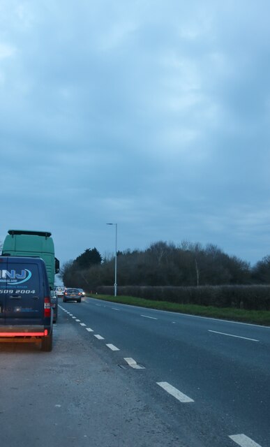
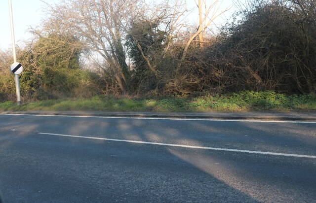
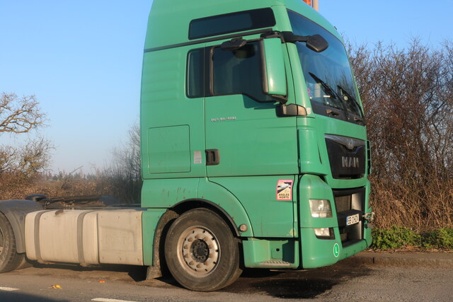
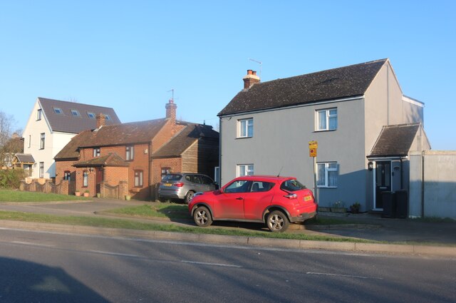
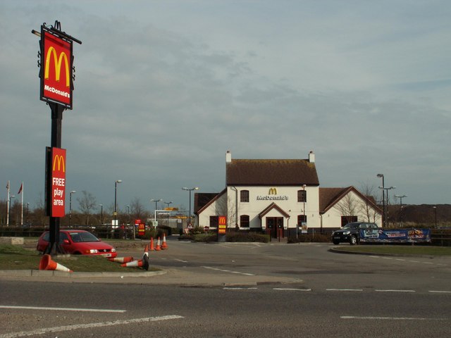
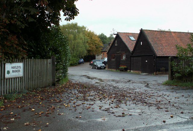
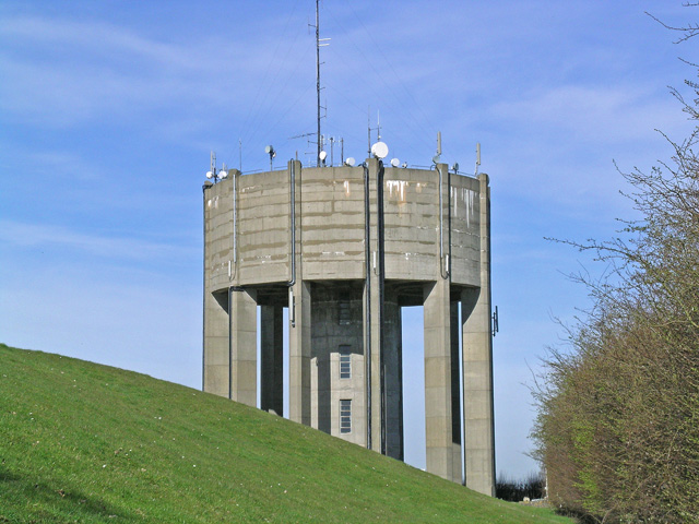
Rye Hill Common Images

Images are sourced within 2km of 51.740894/0.10697533 or Grid Reference TL4506. Thanks to Geograph Open Source API. All images are credited.

Layby on London Road, Hastingwood
London Road, Thornwood Common
Romanian lorry on London Road, Hastingwood Romania are the only other country to use our current number plate format, except for Budapest which starts with a single B.
Romanian lorry on London Road, Hastingwood
Romania are the only other country to use our current number plate format, except for Budapest which starts with a single B.
Houses on London Road, Hastingwood
London Road, Hastingwood Looking towards Hastingwood Depot used by Essex Council.
London Road, Hastingwood
Looking towards Hastingwood Depot used by Essex Council.
Bishopsfield estate, Harlow This is the Podium area of Bishopsfield.
Bishopsfield estate, Harlow
This is the Podium area of Bishopsfield.
Looking South from Bishopsfield. This was taken from one of the many high points in Bishopsfield and shows the view towards Epping.
Looking South from Bishopsfield.
This was taken from one of the many high points in Bishopsfield and shows the view towards Epping.
Blueprint of Bishopsfield This is why Bishopsfield was nicknamed the HORSESHOE estate for many years.
Blueprint of Bishopsfield
This is why Bishopsfield was nicknamed the HORSESHOE estate for many years.
McDonald's, near Harlow, Essex This McDonald's stands close to junction 7 of the M11, on the Epping to Harlow road.
McDonald's, near Harlow, Essex
This McDonald's stands close to junction 7 of the M11, on the Epping to Harlow road.
Staple Tye Shopping Centre, Harlow New Town, Essex
Hayleys Manor Farm, just east of Epping Upland, Essex
Latton Priory taken from the Rundells footpath, off B1393 Latton Priory is to the left off this photo but I also wanted to capture the farmland with the haystacks and tree
Latton Priory taken from the Rundells footpath, off B1393
Latton Priory is to the left off this photo but I also wanted to capture the farmland with the haystacks and tree
Latton Priory taken from the Rundells footpath Here's a closer view of Latton Priory taken from the footpath of Rundells, off the B1393. It may look scenic, but the M11 is very close by and so is the noise from the traffic.
Latton Priory taken from the Rundells footpath
Here's a closer view of Latton Priory taken from the footpath of Rundells, off the B1393. It may look scenic, but the M11 is very close by and so is the noise from the traffic.
Rye Hill Road, taken from just past Rivetts Farm This road is quite hilly for Essex. Photo taken of the road to show the contours.
Rye Hill Road, taken from just past Rivetts Farm
This road is quite hilly for Essex. Photo taken of the road to show the contours.
Looking towards Rivetts Farm from Rye Hill Taken from Rye Hill Road
Looking towards Rivetts Farm from Rye Hill
Taken from Rye Hill Road
Farmland and Rivetts Farm from Rye Hill
Water Tower at Parndon Wood The Water Tower was fenced off, but the lens of my camera managed to peep through!
Water Tower at Parndon Wood
The Water Tower was fenced off, but the lens of my camera managed to peep through!
Water Tower at Parndon Wood Here's a close view of the Water Tower at Parndon Wood
Water Tower at Parndon Wood
Here's a close view of the Water Tower at Parndon Wood
Show me another place!

Rye Hill Common is located at Grid Ref: TL4506 (Lat: 51.740894, Lng: 0.10697533)

Administrative County: Essex

District: Epping Forest

Police Authority: Essex

What 3 Words

///broom.shave.grant. Near Harlow, Essex

Nearby Locations

Rye Hill Rye Hill Common

Related Wikis

Latton Priory

Latton Priory was a small priory in Essex, England. Its site is about 1 km south of the outskirts of the modern town of Harlow. The priory was founded...

Stewards Academy

Stewards Academy (formerly Stewards Schools) is an 11–16 mixed secondary school with academy status in Harlow, Essex, England. == References == == External... ==

Harlow Woods

Harlow Woods is a 47.1-hectare (116-acre) biological Site of Special Scientific Interest in Harlow in Essex. It is composed of three woods, Hospital Wood...

A414 road

The A414 is a major road in England, which connects the towns of Hemel Hempstead in Hertfordshire and Maldon in Essex. The road commences at the A41, at...

Passmores Academy

Passmores Academy is a 11-16 secondary school in Harlow, Essex.The academy has an annual intake of 240 pupils in Year 7, and approximately 1,000 pupils...

Brays Grove Community School

Brays Grove Community School was a mixed secondary school located within the town of Harlow in Essex, England. The school was closed in 2008 due to falling...

Thornwood, Essex

Thornwood is a hamlet in the civil parish of North Weald Bassett, in the Epping Forest district of Essex, England. It is on the B1393 road (the former...

Jacks Hatch

Jacks Hatch (also spelt Jack's Hatch), is a hamlet in the Epping Upland civil parish of the Epping Forest district of Essex, England. Jacks Hatch is 1...

Nearby Amenities

Located within 500m of 51.740894,0.10697533
Created By: YahooApplet 1.0
Lat/Long: 51.7365609/0.108478
Created By: YahooApplet 1.0
Lat/Long: 51.7366739/0.1081347
Created By: YahooApplet 1.0
Lat/Long: 51.7368665/0.1078665
Created By: YahooApplet 1.0
Lat/Long: 51.7370194/0.1075446
Created By: YahooApplet 1.0
Lat/Long: 51.737212/0.106976
Created By: YahooApplet 1.0
Lat/Long: 51.7375044/0.1061928
Created By: YahooApplet 1.0
Lat/Long: 51.7378166/0.105077
Created By: YahooApplet 1.0
Lat/Long: 51.7382751/0.1030278
Created By: YahooApplet 1.0
Lat/Long: 51.7385209/0.1017725
Created By: YahooApplet 1.0
Lat/Long: 51.7386936/0.1007425
Rye Hill
Ele: 110
Natural: peak
Lat/Long: 51.7410175/0.1051401
Rye Hill Common
Place: locality
Lat/Long: 51.7407099/0.1072365
The data included in this document is from www.openstreetmap.org. The data is made available under ODbL.

Have you been to Rye Hill Common?

Leave your review of Rye Hill Common below (or comments, questions and feedback).