Dunstal Field
Downs, Moorland in Cambridgeshire South Cambridgeshire
England
Dunstal Field

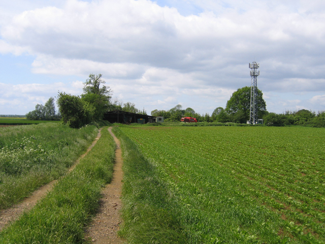
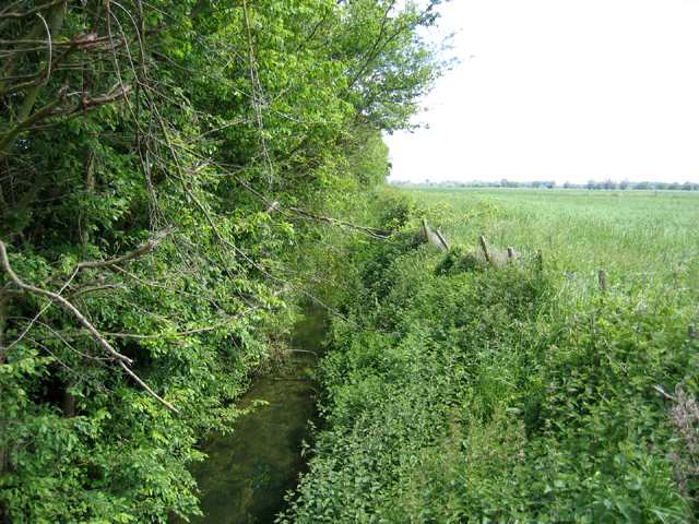
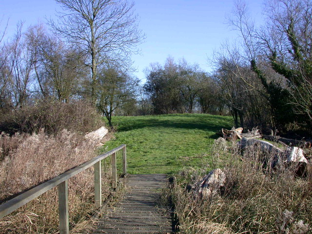
Dunstal Field, located in Cambridgeshire, is a picturesque natural area encompassing both downs and moorland landscapes. Spanning approximately 200 acres, this vast expanse of land offers a diverse range of flora, fauna, and geographical features.
The downs section of Dunstal Field is characterized by its gently rolling hills, adorned with vibrant wildflowers during the summer months. The downs provide a habitat for various species of grasses, including fescue and sheep's fescue, creating a scenic landscape that is often enjoyed by hikers and nature enthusiasts. The area also supports a variety of bird species, such as skylarks and meadow pipits, which can be spotted soaring above the downs.
On the opposite side of the field lies the moorland, a habitat characterized by its damp and acidic soil. Here, visitors can observe unique plant species, including heather, bilberries, and cotton grass. The moorland also provides a sheltered environment for a range of wildlife, such as adders, lizards, and various species of butterflies.
Dunstal Field offers several walking trails, allowing visitors to explore the diverse ecosystems and enjoy the tranquil surroundings. The field is also a popular destination for birdwatchers, photographers, and nature lovers seeking a peaceful retreat away from the bustle of city life.
Overall, Dunstal Field in Cambridgeshire offers a unique blend of downs and moorland landscapes, providing a haven for diverse plant and animal life, as well as a picturesque setting for outdoor activities and appreciation of nature.
If you have any feedback on the listing, please let us know in the comments section below.
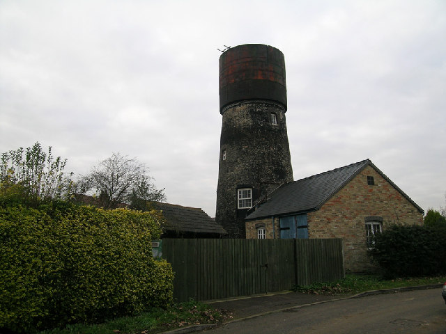
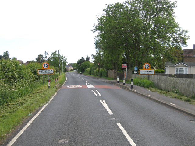
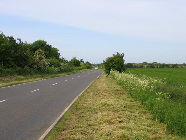
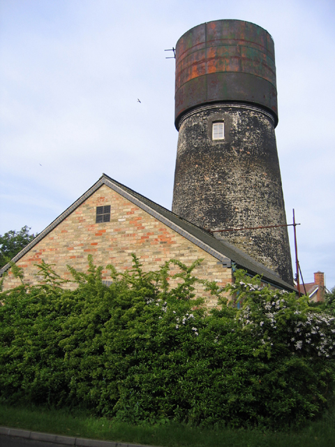
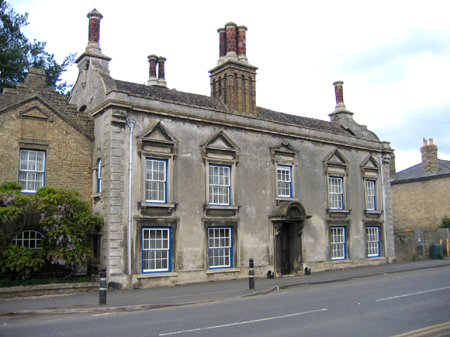
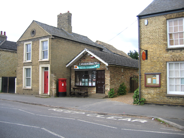
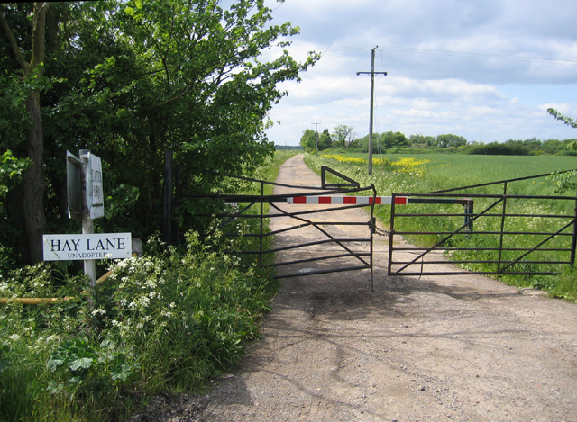
Dunstal Field Images
Images are sourced within 2km of 52.282229/0.13058434 or Grid Reference TL4567. Thanks to Geograph Open Source API. All images are credited.


Dunstal Field is located at Grid Ref: TL4567 (Lat: 52.282229, Lng: 0.13058434)
Administrative County: Cambridgeshire
District: South Cambridgeshire
Police Authority: Cambridgeshire
What 3 Words
///climbing.uplifting.utensil. Near Cottenham, Cambridgeshire
Nearby Locations
Related Wikis

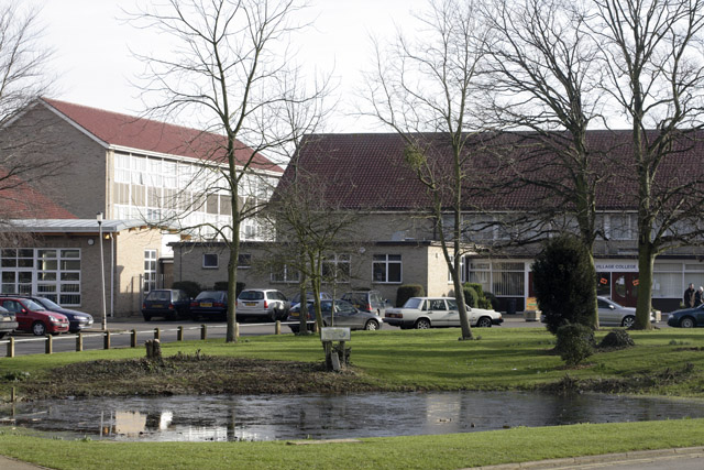
Cottenham Village College
Cottenham Village College is an academy school located in Cottenham, Cambridgeshire, England. The school offers secondary education to pupils from the...

Cottenham
Cottenham is a village in Cambridgeshire, England. Cottenham is one of the larger villages surrounding the city of Cambridge, located around five miles...
Fen Edge
Fen Edge is an area and collection of villages in the South Cambridgeshire district of Cambridgeshire, England. The five villages in Fen Edge are Cottenham...
Rampton Castle
Rampton Castle, known locally as Giant's Hill, is the earthwork remains of a motte and bailey castle in Rampton, Cambridgeshire. It is believed that the...
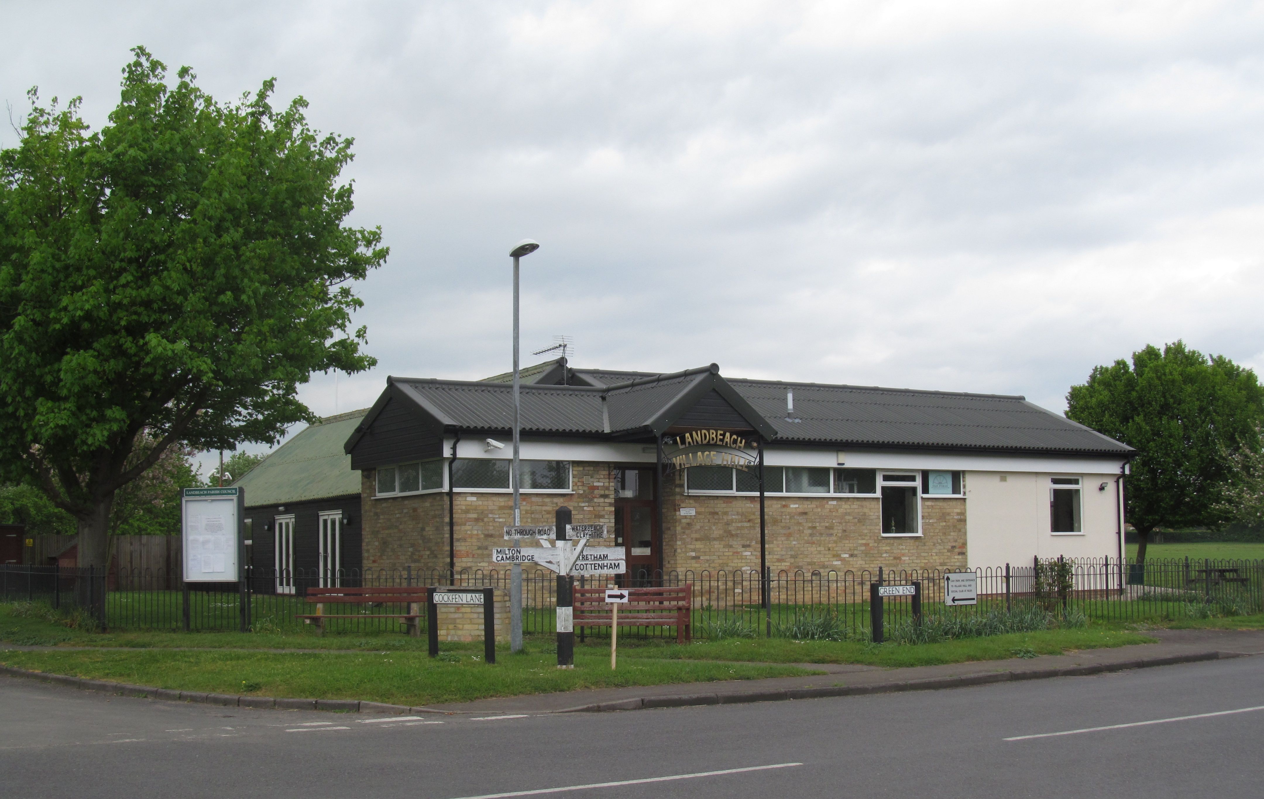
Landbeach
Landbeach is a small fen-edge English village about three miles (5 km) north of Cambridge. The parish covers an area of 9 km2 (3.5 sq mi). == History... ==
Rampton, Cambridgeshire
Rampton is a village in Cambridgeshire, England, situated on the edge of The Fens six miles to the north of Cambridge. == History == The edge of the Fens...
Histon
Histon is a village and civil parish in the South Cambridgeshire district, in the county of Cambridgeshire, England. It is immediately north of Cambridge...
Westwick, Cambridgeshire
Westwick is a hamlet and former civil parish, now in the parish of Oakington and Westwick, in the South Cambridgeshire district, in the county of Cambridgeshire...
Nearby Amenities
Located within 500m of 52.282229,0.13058434Have you been to Dunstal Field?
Leave your review of Dunstal Field below (or comments, questions and feedback).