Church Fen
Downs, Moorland in Cambridgeshire East Cambridgeshire
England
Church Fen
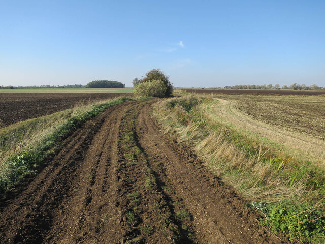
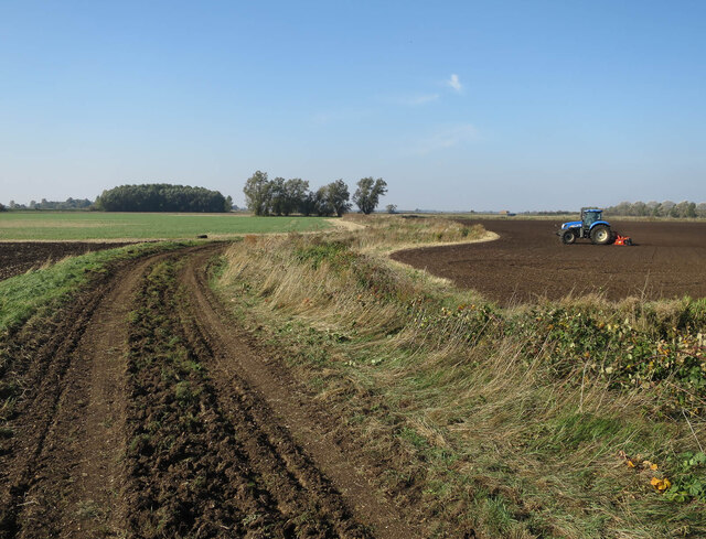
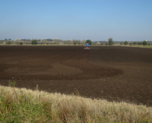
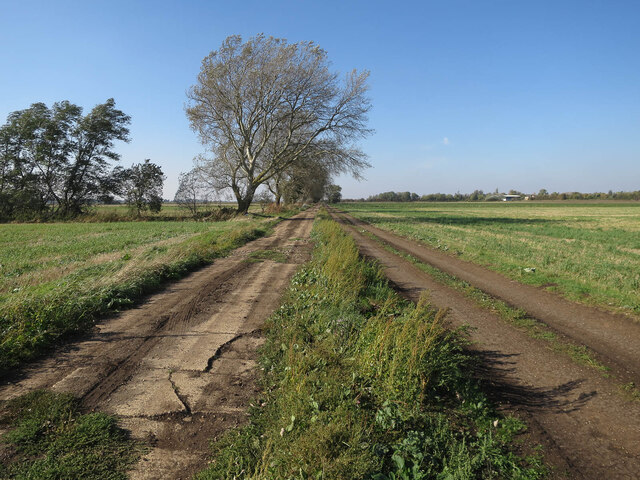
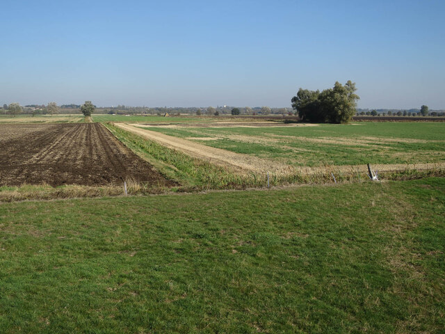
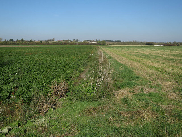
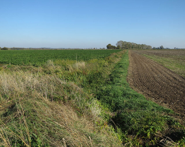
Church Fen is a region located in the county of Cambridgeshire, England. It is situated on the eastern side of the county, bordered by the market towns of Downham Market and Wisbech. This area is characterized by its vast expanse of open downs and moorland, offering breathtaking views of the surrounding countryside.
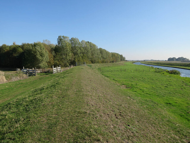
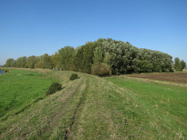
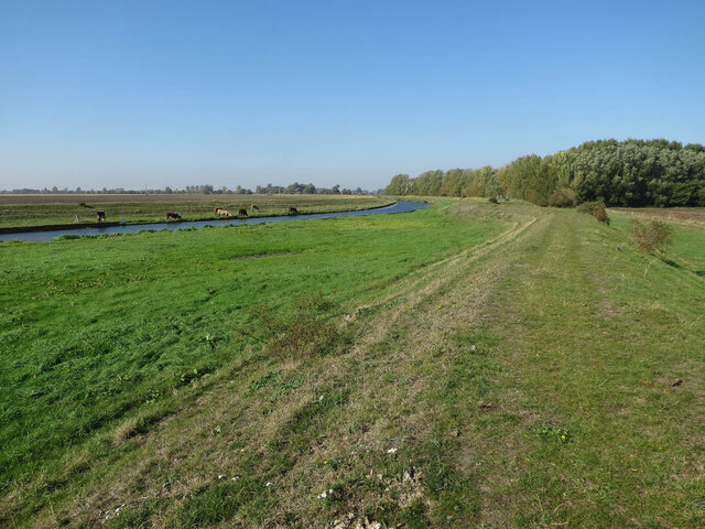
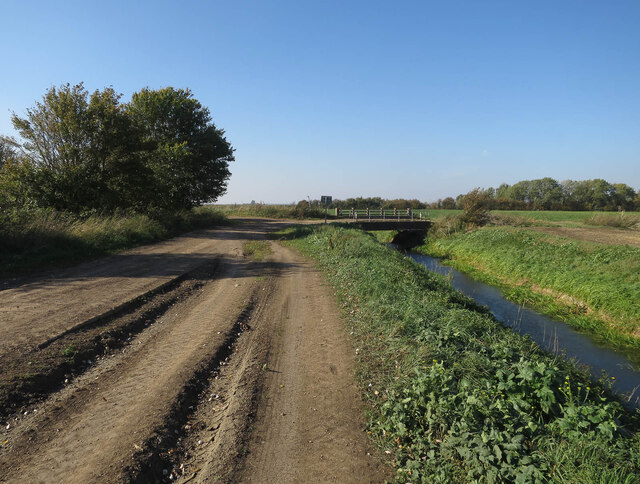
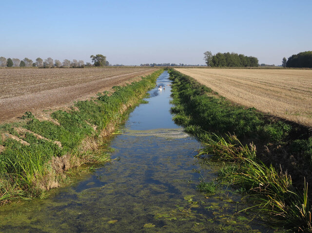
The fenland landscape of Church Fen is renowned for its unique ecology and rich biodiversity. It consists of a patchwork of wetland habitats, including marshes, reed beds, and fen meadows. These habitats provide a haven for a wide range of bird species, such as bitterns, marsh harriers, and avocets, making it a popular destination for birdwatchers and nature enthusiasts.
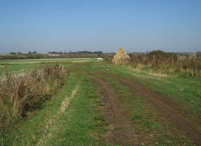
The area is also home to numerous ancient churches, which lend their name to the fen. These historic buildings, dating back centuries, are scattered across the landscape, adding to the charm and character of the region. Many of these churches are built on small mounds or islands known as "islands of refuge," which were created to protect them from the regular flooding that occurs in the fenland.
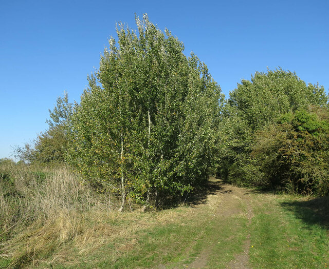
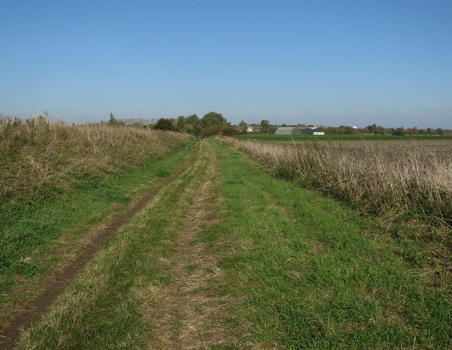
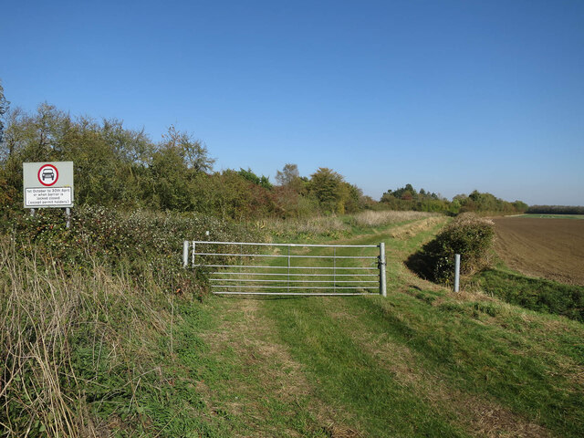
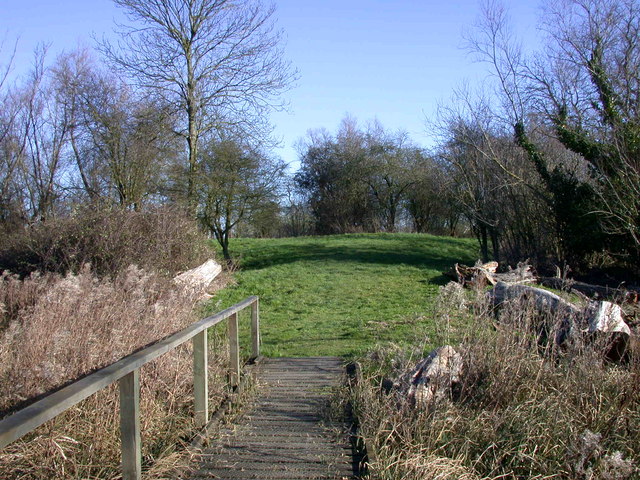
Visitors to Church Fen can enjoy leisurely walks along the many footpaths that crisscross the downs and moorland. These paths provide an opportunity to immerse oneself in the tranquility of the surroundings, taking in the sights and sounds of this unique landscape. The area is also popular for outdoor activities such as cycling, fishing, and wildlife photography.
Overall, Church Fen, Cambridgeshire, offers a captivating blend of natural beauty, historical significance, and recreational opportunities, making it a must-visit destination for those seeking a peaceful countryside experience.
If you have any feedback on the listing, please let us know in the comments section below.
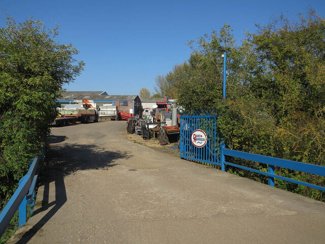
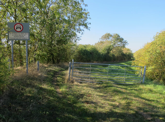
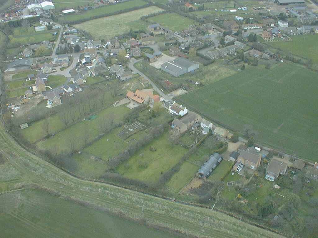
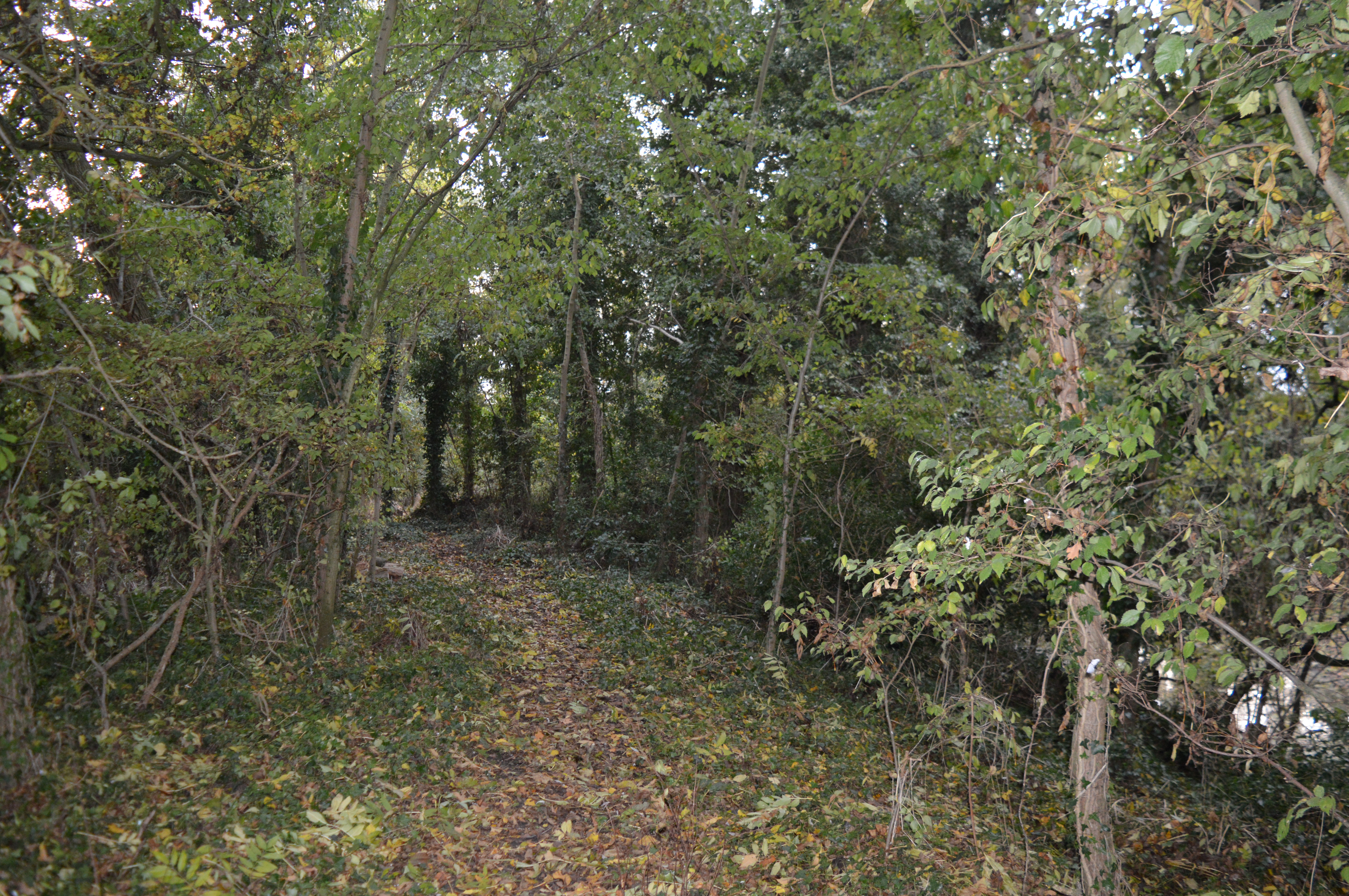
Church Fen Images
Images are sourced within 2km of 52.331611/0.11516802 or Grid Reference TL4472. Thanks to Geograph Open Source API. All images are credited.
Church Fen is located at Grid Ref: TL4472 (Lat: 52.331611, Lng: 0.11516802)
Division: Isle of Ely
Administrative County: Cambridgeshire
District: East Cambridgeshire
Police Authority: Cambridgeshire
What 3 Words
///outboard.flag.grudge. Near Haddenham, Cambridgeshire
Nearby Locations
Related Wikis
Aldreth
Aldreth is a hamlet in Cambridgeshire with about 260 residents (2001 census). It is located near the larger village of Haddenham (where the population...

Belsar's Hill
Belsar's Hill is a hillfort near Willingham, Cambridgeshire, England. == Description == Belsar's Hill is an oval-shaped area, 265–220 metres (869–722 ft...

Willingham, Cambridgeshire
Willingham is a village in Cambridgeshire, England. It is located in the South Cambridgeshire district and sits just outside the border of the Fens, just...

Haddenham, Cambridgeshire
Haddenham is a village and civil parish in Cambridgeshire, England. In the 2001 census the parish had a population of 3,228. The 2011 census reported a...
Doghouse Grove
Doghouse Grove is a 0.8-hectare (2.0-acre) nature reserve in Wilburton in Cambridgeshire. It is managed by the Wildlife Trust for Bedfordshire, Cambridgeshire...

Haddenham railway station (Cambridgeshire)
Haddenham railway station was a station in Haddenham, Cambridgeshire. It was first opened in 1866 by the Ely, Haddenham and Sutton Railway. It closed to...
Rampton Castle
Rampton Castle, known locally as Giant's Hill, is the earthwork remains of a motte and bailey castle in Rampton, Cambridgeshire. It is believed that the...

Rampton, Cambridgeshire
Rampton is a village in Cambridgeshire, England, situated on the edge of The Fens six miles to the north of Cambridge. == History == The edge of the Fens...
Nearby Amenities
Located within 500m of 52.331611,0.11516802Have you been to Church Fen?
Leave your review of Church Fen below (or comments, questions and feedback).