Downstreet Rough
Downs, Moorland in Sussex Wealden
England
Downstreet Rough

Downstreet Rough is a picturesque area located in Sussex, England, encompassing parts of the Downs and Moorland. It is known for its natural beauty and diverse landscapes, attracting visitors from near and far.
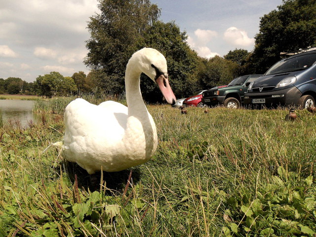
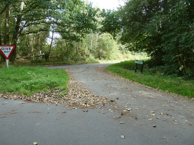
The Downs in Downstreet Rough offer breathtaking panoramic views of rolling hills, vast meadows, and charming countryside. These chalk hills are home to a plethora of wildlife, including rare species of birds, butterflies, and flowers. Walking and hiking trails crisscross the area, providing ample opportunities for outdoor enthusiasts to explore and immerse themselves in the tranquility of nature.
The Moorland, on the other hand, presents a stark contrast to the Downs. With its open, rugged terrain and heather-covered hills, it provides a unique habitat for various plants and animals. The Moorland is particularly famous for its distinctive purple hue during the blooming season. It is also home to ancient archaeological sites, such as burial mounds and stone circles, adding a touch of historical significance to the area.
Downstreet Rough offers a wide range of activities for visitors. Nature lovers can indulge in birdwatching, photography, or simply enjoy a peaceful picnic amidst the stunning landscapes. The area also hosts events and festivals, celebrating the local culture and traditions. Furthermore, there are cozy country pubs and quaint tea rooms where visitors can relax and savor traditional English delicacies.
In conclusion, Downstreet Rough in Sussex is a captivating destination that showcases the beauty of the Downs and Moorland. Its unspoiled natural landscapes, diverse wildlife, and rich history make it a must-visit location for anyone seeking solace in the embrace of nature.
If you have any feedback on the listing, please let us know in the comments section below.
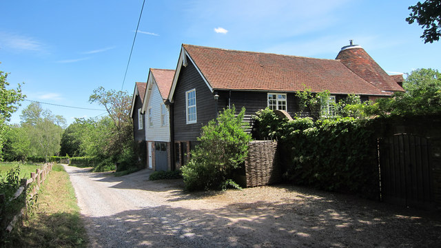
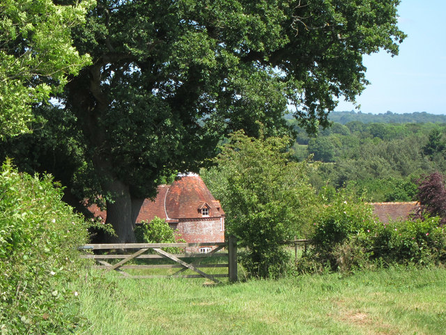
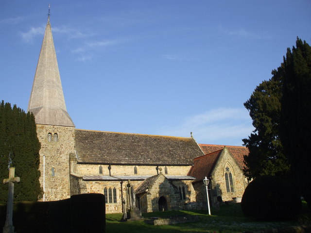
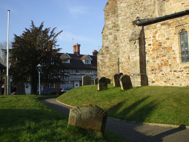
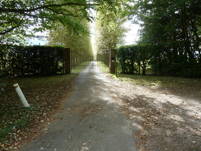
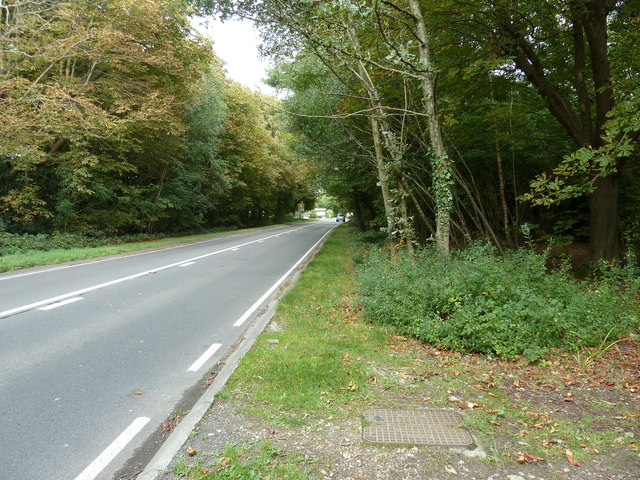
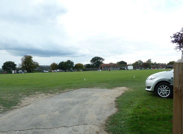
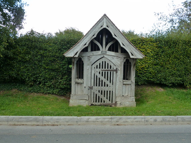
Downstreet Rough Images
Images are sourced within 2km of 50.995214/0.050801397 or Grid Reference TQ4423. Thanks to Geograph Open Source API. All images are credited.


Downstreet Rough is located at Grid Ref: TQ4423 (Lat: 50.995214, Lng: 0.050801397)
Administrative County: East Sussex
District: Wealden
Police Authority: Sussex
What 3 Words
///lamps.cycle.importing. Near Newick, East Sussex
Nearby Locations
Related Wikis

Piltdown Man
The Piltdown Man was a paleoanthropological fraud in which bone fragments were presented as the fossilised remains of a previously unknown early human...

Piltdown
Piltdown is a series of hamlets in East Sussex, England, located south of Ashdown Forest. It is best known for the Piltdown Man hoax where amateur archaeologist...

Fletching, East Sussex
Fletching is a village and civil parish in the Wealden District of East Sussex, England. It is located three miles (4.8 km) to the north-west of Uckfield...

Sheffield Park cricket ground
Sheffield Park is a cricket ground at the Sheffield Park estate, located near Uckfield, East Sussex, England. From 1881 to 1896 it was the home ground...

A.F.C. Uckfield Town
A.F.C. Uckfield Town is a community football club based in Uckfield, East Sussex, England. They are currently members of the Southern Combination Premier...
A.F.C. Uckfield
Association Football Club Uckfield was a football club based in Uckfield, East Sussex, England. == History == The club was formed in 1988 as Wealden Football...

Sheffield Park and Garden
Sheffield Park and Garden is an informal landscape garden five miles east of Haywards Heath, in East Sussex, England. It was originally laid out in the...

Newick
Newick is a village, civil parish and electoral ward in the Lewes District of East Sussex, England. It is located on the A272 road six miles (9.7 km) east...
Related Videos


riding the waves of nature
nature #photography #naturephotography #love #travel #photooftheday #instagood #beautiful #picoftheday #photo #instagram ...

Sheffield park #nature #travel
The autumn trees are a beautiful sight to behold, and their reflections in the water are even more beautiful.

Kwentuhan while walking
Ang ganda ng tanawin at very relaxing walked .
Nearby Amenities
Located within 500m of 50.995214,0.050801397Have you been to Downstreet Rough?
Leave your review of Downstreet Rough below (or comments, questions and feedback).