Beckton Meadows
Downs, Moorland in Essex
England
Beckton Meadows
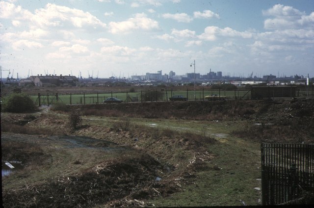
Beckton Meadows, Essex, also known as Beckton Downs or Beckton Moorland, is a picturesque area located in the borough of Newham in East London, England. Situated on the eastern edge of Beckton, this green space offers a serene and natural environment for both locals and visitors alike.
Covering an expansive area of approximately 187 acres, Beckton Meadows is a haven for nature enthusiasts and outdoor activities. The landscape is characterized by rolling hills, open grasslands, and scattered pockets of woodland, providing a diverse range of habitats for various plant and animal species. It serves as an important green lung for the city, offering a respite from the urban hustle and bustle.
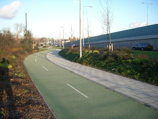
The meadows are popular among walkers, joggers, and cyclists, with a network of well-maintained paths and trails that crisscross the area, allowing visitors to explore its natural beauty. The open fields are perfect for picnics, kite flying, or simply enjoying a leisurely day out with family and friends.
Wildlife enthusiasts will delight in the abundance of flora and fauna that call Beckton Meadows their home. The site is home to a variety of bird species, including kestrels, skylarks, and swallows, making it a haven for birdwatching. The meadows also support a range of plant species, from wildflowers to grasses, creating a vibrant and colorful landscape throughout the year.
Beckton Meadows offers a peaceful and tranquil escape from the urban environment, providing an opportunity to connect with nature in the heart of East London. Whether seeking a place for recreation, relaxation, or wildlife observation, this natural gem is a must-visit destination for nature lovers in Essex.
If you have any feedback on the listing, please let us know in the comments section below.
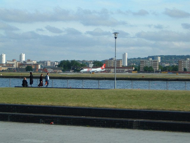
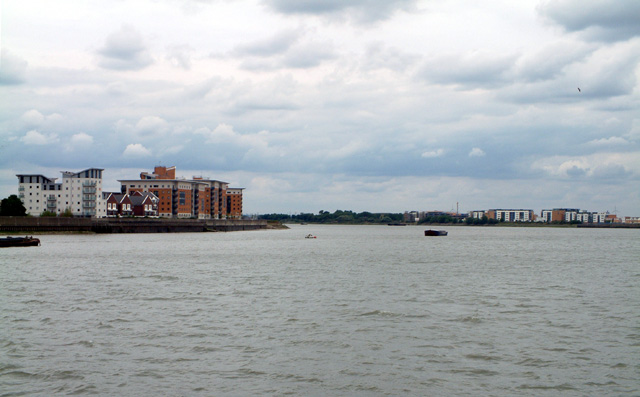
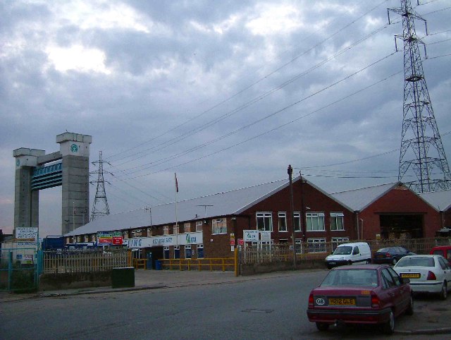
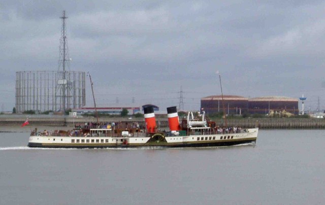
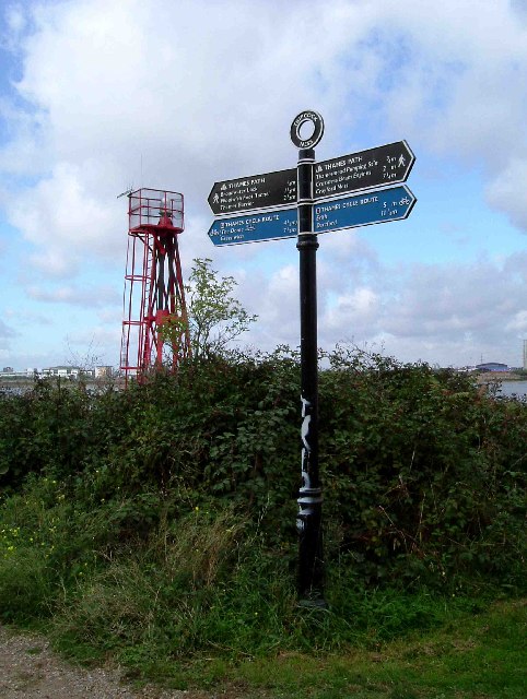
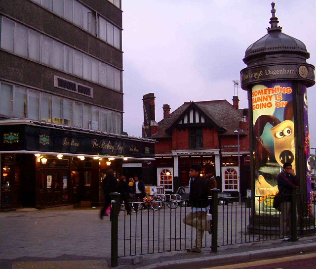
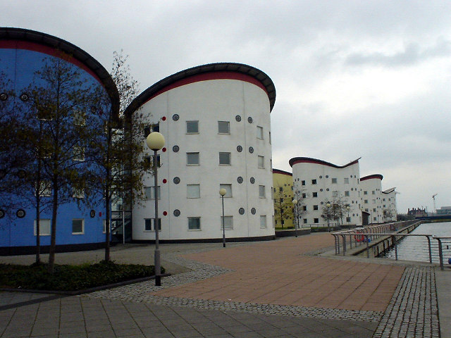
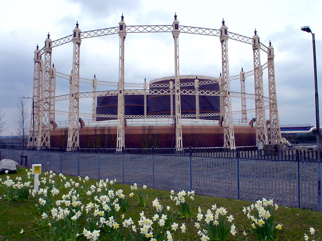
Beckton Meadows Images
Images are sourced within 2km of 51.522387/0.074399577 or Grid Reference TQ4482. Thanks to Geograph Open Source API. All images are credited.


Beckton Meadows is located at Grid Ref: TQ4482 (Lat: 51.522387, Lng: 0.074399577)
Unitary Authority: Newham
Police Authority: Metropolitan
What 3 Words
///moving.kind.formed. Near Barking, London
Nearby Locations
Related Wikis

Battle of Barking Creek
The Battle of Barking Creek was a friendly fire incident over England on 6 September 1939 that caused the first death of a British fighter pilot in the...
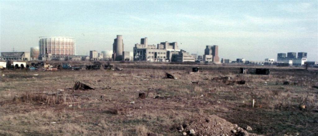
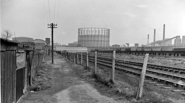
Beckton Gas Works
Beckton Gasworks was a major London gasworks built to manufacture coal gas and other products including coke from coal. It has been variously described...
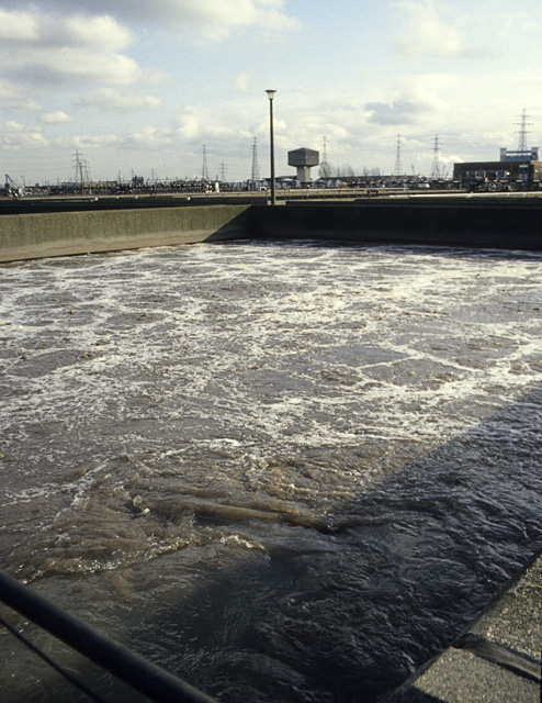
Beckton Sewage Treatment Works
Beckton Sewage Treatment Works, formerly known as Barking Sewage Works, is a large sewage treatment plant in Beckton in the east London Borough of Newham...
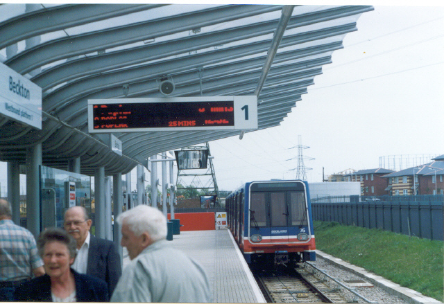
Beckton railway station
Beckton railway station was a railway station in Beckton, London originally owned by the Gas Light and Coke Company, to serve the (then) recently built...

Beckton
Beckton is a suburb in east London, England, located 8 miles (12.9 km) east of Charing Cross and part of the London Borough of Newham. Adjacent to the...

Wall End
Wall End (sometimes spelt as Wallend) is a locality in East Ham in East London, located in the borough of Newham. It is a little-used name for the area...

St Mary Magdalene's Church, East Ham
St Mary Magdalene's Church, East Ham is a parish church in East Ham, east London, dedicated to St Mary Magdalene. Its nave, chancel and apse date to the...

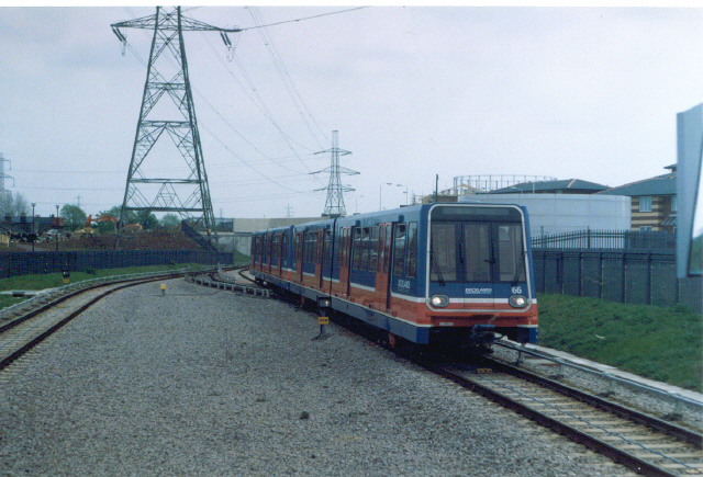
Beckton DLR depot
Beckton Depot is the primary railway maintenance depot for the Docklands Light Railway (DLR). == History == Upon the initial opening of the DLR in 1987...
Nearby Amenities
Located within 500m of 51.522387,0.074399577Have you been to Beckton Meadows?
Leave your review of Beckton Meadows below (or comments, questions and feedback).