Killem's Green

Downs, Moorland in Essex Uttlesford

England

Killem's Green

Little Chishill, St Nicholas <span class="nowrap"><a title="http://www.druidic.org/camchurch/churches/ltchishill.htm" rel="nofollow ugc noopener" href="http://www.druidic.org/camchurch/churches/ltchishill.htm">Link</a><img style="margin-left:2px;" alt="External link" title="External link - shift click to open in new window" src="https://s1.geograph.org.uk/img/external.png" width="10" height="10"/></span>
Little Chishill, St Nicholas Credit: mym

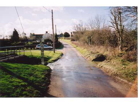
Killem's Green is a picturesque village located in the county of Essex, England. Situated amidst the beautiful countryside, it is renowned for its stunning landscapes, encompassing verdant downs and moorland. The village is nestled between gently rolling hills and is surrounded by lush green fields, creating a tranquil and idyllic setting.

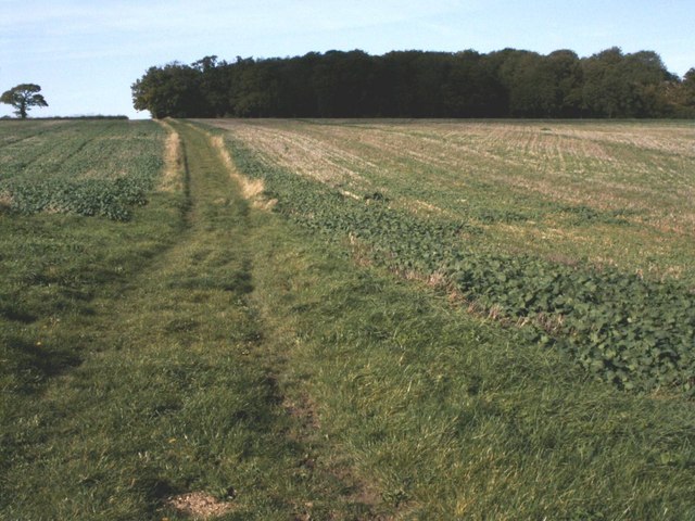
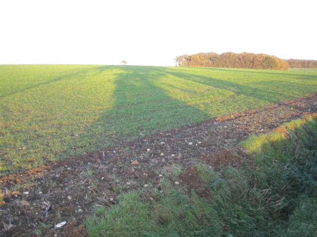
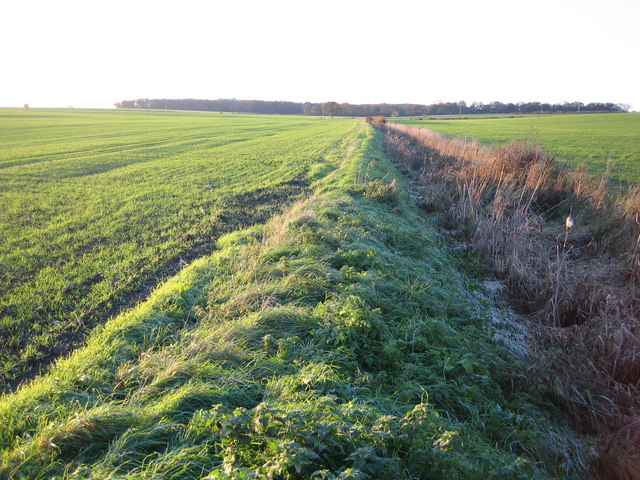
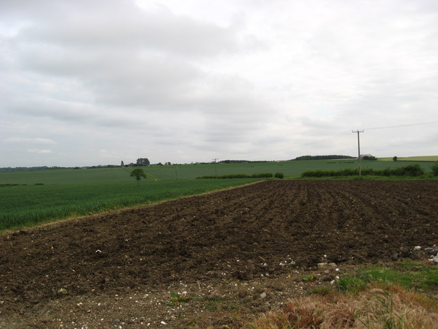
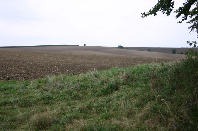
The downs in Killem's Green offer breathtaking views, with expansive meadows stretching as far as the eye can see. These downlands are home to an array of vibrant wildflowers, providing a colorful spectacle during spring and summer. The area is also rich in wildlife, attracting nature enthusiasts and birdwatchers alike.

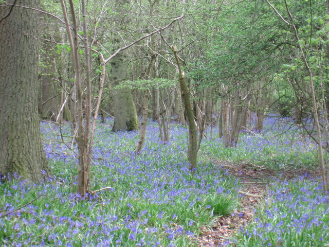
In addition to the downs, Killem's Green boasts extensive moorland, characterized by its heather-covered hills and scattered gorse bushes. This unique ecosystem supports a variety of rare flora and fauna, making it a haven for ecological enthusiasts. Visitors can enjoy leisurely walks or hikes across the moorland, immersing themselves in the tranquility of the surroundings.

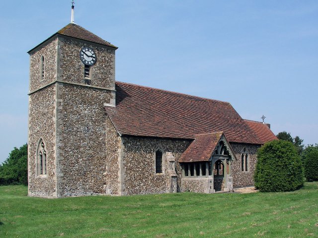
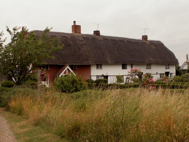
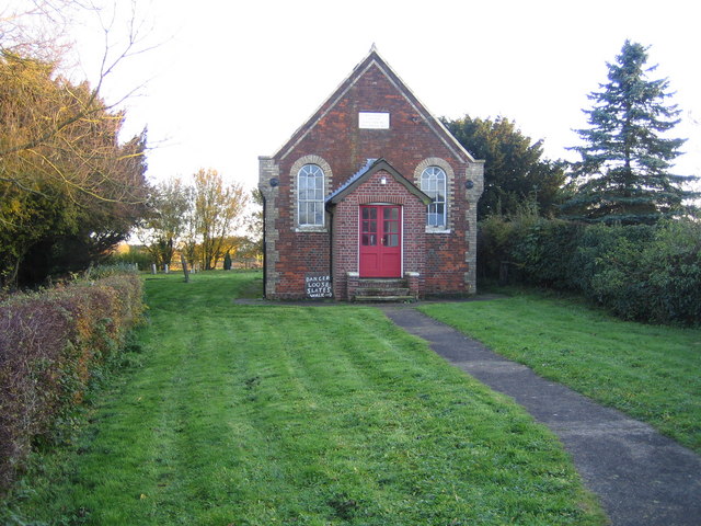
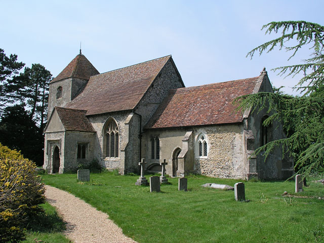
The village itself is small and charming, with quaint cottages and traditional architecture. It has a close-knit community that takes pride in its heritage and natural surroundings. Killem's Green offers a peaceful escape from the hustle and bustle of city life, with an abundance of opportunities for outdoor activities such as cycling, horse riding, and picnicking.

Overall, Killem's Green in Essex is a hidden gem, offering a perfect blend of natural beauty and rural charm. Whether it's exploring the downs, wandering through the moorland, or simply enjoying the peaceful atmosphere, this village provides a serene retreat for all who visit.

If you have any feedback on the listing, please let us know in the comments section below.

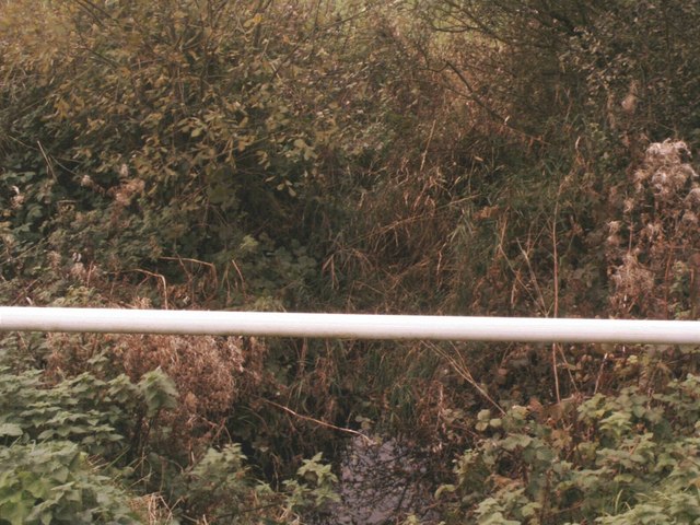
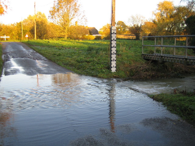
Killem's Green Images

Images are sourced within 2km of 52.001775/0.083977938 or Grid Reference TL4335. Thanks to Geograph Open Source API. All images are credited.

Little Chishill, St Nicholas <span class="nowrap"><a title="http://www.druidic.org/camchurch/churches/ltchishill.htm" rel="nofollow ugc noopener" href="http://www.druidic.org/camchurch/churches/ltchishill.htm">Link</a><img style="margin-left:2px;" alt="External link" title="External link - shift click to open in new window" src="https://s1.geograph.org.uk/img/external.png" width="10" height="10"/></span>
Little Chishill, St Nicholas
Langley Church, Upper Green.
Ford, Langley Lower Green Culverted ford, usually dry.
Ford, Langley Lower Green
Culverted ford, usually dry.
Fishing Pond, Nuthampstead The Lake is on the edge of the former WWII Airfield called Nuthampstead. A short Airstrip still remains but the Airfield is now farmland.
Fishing Pond, Nuthampstead
The Lake is on the edge of the former WWII Airfield called Nuthampstead. A short Airstrip still remains but the Airfield is now farmland.
Thatched cottages at Upper Green, Langley, Essex
Bridleway at Building End Bridleway leading from Building End to Great Chishill
Bridleway at Building End
Bridleway leading from Building End to Great Chishill
River Stort A view from the road bridge of the infant river Stort close to its source at Doctor's Grove.
River Stort
A view from the road bridge of the infant river Stort close to its source at Doctor's Grove.
Winter Oilseed Rape A healthy-looking field of winter oilseed-rape at Gipsy Corner Farm
Winter Oilseed Rape
A healthy-looking field of winter oilseed-rape at Gipsy Corner Farm
Chrishall Common Roughway Wood is the distant clump of trees beyond the winter wheat.
Chrishall Common
Roughway Wood is the distant clump of trees beyond the winter wheat.
River Stort in Lower Green, Langley This is the ford across the River Stort on the road known as Waterwick Hill in Lower Green, and, compared with Andrew's photo <a href="https://www.geograph.org.uk/photo/58589">TL4334 : Ford, Langley Lower Green</a>, the river certainly has a lot of water flowing in it. The extent of the recent inundation can be seen from the flood trash line on the road on the far side of the ford.
River Stort in Lower Green, Langley
This is the ford across the River Stort on the road known as Waterwick Hill in Lower Green, and, compared with Andrew's photo TL4334 : Ford, Langley Lower Green, the river certainly has a lot of water flowing in it. The extent of the recent inundation can be seen from the flood trash line on the road on the far side of the ford.
River Stort north of Lower Green Viewed looking upstream from the Park Lane bridge.
River Stort north of Lower Green
Viewed looking upstream from the Park Lane bridge.
Lower Green: Methodist Chapel This is the Primitive Methodist Chapel in Waterwick Hill, Lower Green. The inscription on the stone in the gable end reads "Erected 1862, Enlarged 1871". Behind the Chapel is a graveyard.
Lower Green: Methodist Chapel
This is the Primitive Methodist Chapel in Waterwick Hill, Lower Green. The inscription on the stone in the gable end reads "Erected 1862, Enlarged 1871". Behind the Chapel is a graveyard.
Horses and hay-bales Farm scene near Nuthampstead
Horses and hay-bales
Farm scene near Nuthampstead
Bluebells in High Wood
Farmland at Gypsy Corner Farm A field at Gypsy Corner Farm. Probably ridged up for potatoes.
Farmland at Gypsy Corner Farm
A field at Gypsy Corner Farm. Probably ridged up for potatoes.
Little Chishill Game Reserve Entrance to Little Chishill Game Reserve. A big notice warns 'no dogs allowed'!
Little Chishill Game Reserve
Entrance to Little Chishill Game Reserve. A big notice warns 'no dogs allowed'!
Nuthampstead Shooting Ground Sited on the old runways of an American War Time airfield.
Nuthampstead Shooting Ground
Sited on the old runways of an American War Time airfield.
By the Copse above Little Chishill Just off the bridleway by the copse above Little Chishill looking over the fields
By the Copse above Little Chishill
Just off the bridleway by the copse above Little Chishill looking over the fields
Show me another place!

Killem's Green is located at Grid Ref: TL4335 (Lat: 52.001775, Lng: 0.083977938)

Administrative County: Essex

District: Uttlesford

Police Authority: Essex

What 3 Words

///reclaimed.swear.dark. Near Royston, Hertfordshire

Related Wikis

Langley, Essex

For the historic house in Essex called Langley's, see Great Waltham. Langley is a village and civil parish near Clavering in the English county of Essex...

Little Chishill

Little Chishill is a village and former civil parish, now in the parish of Great and Little Chishill, in the South Cambridgeshire district, in the county...

Duddenhoe End

Duddenhoe End is a small village in the civil parish of Elmdon & Wenden Lofts, in northwest Essex, England, and situated approximately halfway between...

Nuthampstead

Nuthampstead is a small village and civil parish in North East Hertfordshire located a few miles south of the town of Royston. In the 2001 census the parish...

Wenden Lofts

Wenden Lofts is a small community in the civil parish of Elmdon, Duddenhoe End & Wenden Lofts in the Uttlesford district, in the county of Essex, England...

Great Chishill

Great Chishill is a village and former civil parish, now in the parish of Great and Little Chishill, in the South Cambridgeshire district, in the county...

Chrishall

Chrishall (pronounced Chris hall) is a small village in the English county of Essex. It is located 12 miles (20 km) south of Cambridge and lies equidistant...

Anstey Castle

Anstey Castle was in the village of Anstey, Hertfordshire. It was a 12th-century stone motte and bailey fortress that, according to tradition, was founded...

Nearby Amenities

Located within 500m of 52.001775,0.083977938
Killem's Green
Place: hamlet
Lat/Long: 52.0034946/0.0870895
The data included in this document is from www.openstreetmap.org. The data is made available under ODbL.

Have you been to Killem's Green?

Leave your review of Killem's Green below (or comments, questions and feedback).