Small Fen

Downs, Moorland in Cambridgeshire East Cambridgeshire

England

Small Fen

View from Chain Causeway towards New Bedford River
View from Chain Causeway towards New Bedford River Credit: Christopher Hilton

Small Fen is a picturesque area located in the county of Cambridgeshire, England. Situated in the southern part of the county, it is known for its unique landscape consisting of downs and moorland.

The downs in Small Fen are characterized by rolling hills covered in lush green grass and scattered with small patches of shrubs and trees. The undulating terrain offers stunning panoramic views of the surrounding countryside, making it a popular destination for nature lovers and hikers. The downs are home to a diverse range of flora and fauna, including wildflowers, butterflies, and various bird species.

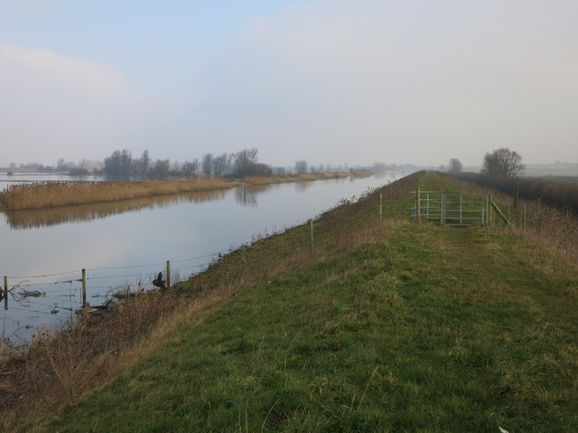
Adjacent to the downs, the moorland in Small Fen provides a contrasting landscape. It is characterized by open expanses of heathland, featuring low-growing vegetation such as heather, gorse, and bracken. The moorland is also dotted with small ponds and marshes, adding to its natural beauty and serving as habitats for various amphibians and waterfowl.

Small Fen benefits from a mild climate, with warm summers and relatively mild winters. This makes it a favorable environment for both plants and animals to thrive. The area is also known for its tranquility and peaceful atmosphere, offering visitors a chance to escape the hustle and bustle of city life.

Overall, Small Fen in Cambridgeshire is a captivating destination for those seeking to immerse themselves in the beauty of nature. Its combination of downs and moorland provides a diverse and enchanting landscape that is sure to leave a lasting impression.

If you have any feedback on the listing, please let us know in the comments section below.
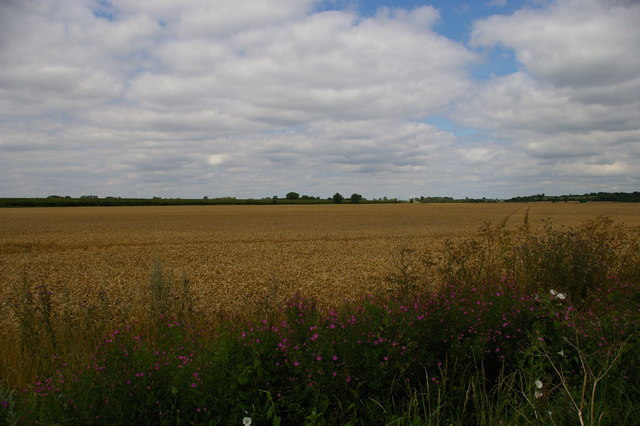
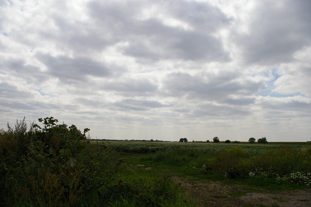
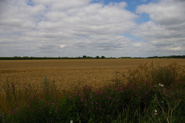
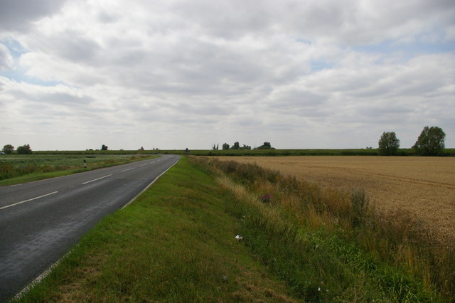
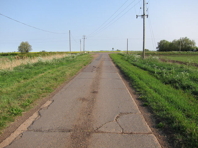
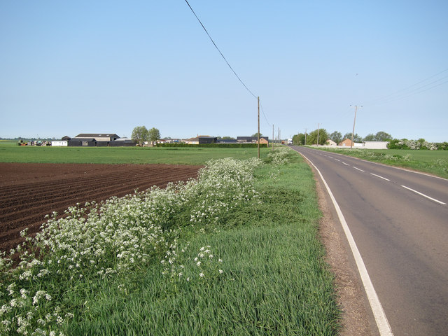
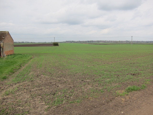
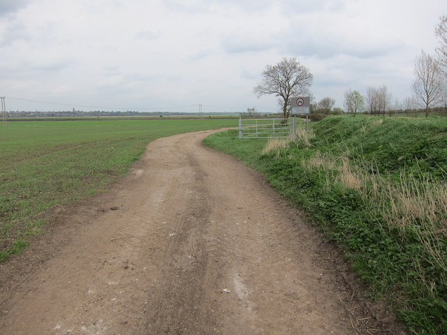
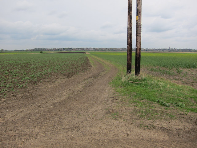
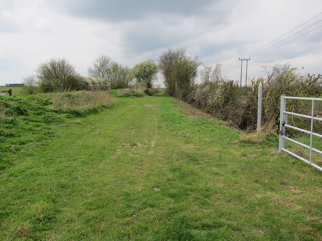
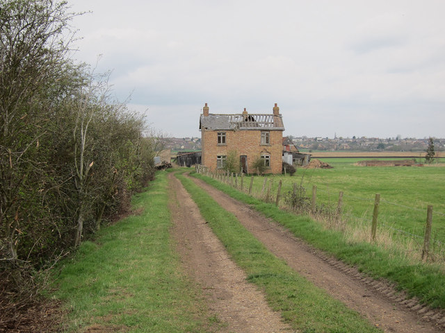
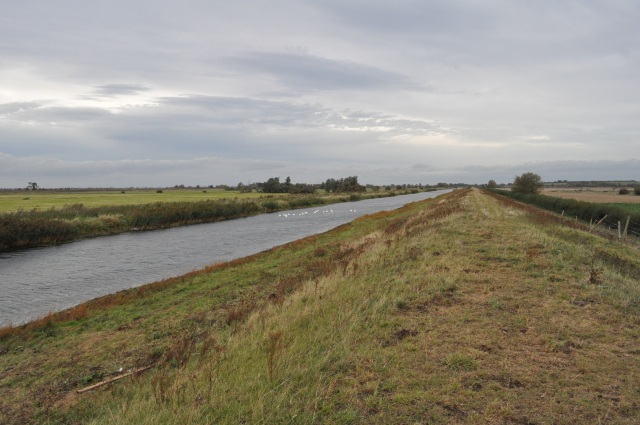
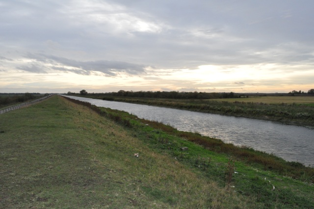
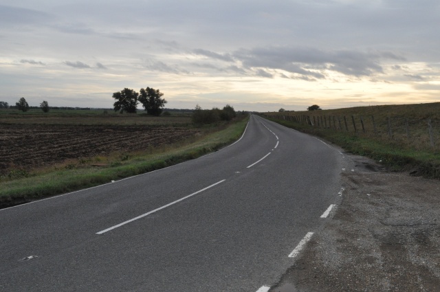
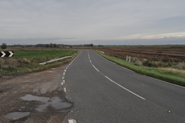
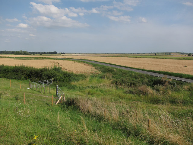
Small Fen Images

Images are sourced within 2km of 52.368902/0.09178594 or Grid Reference TL4276. Thanks to Geograph Open Source API. All images are credited.

View from Chain Causeway towards New Bedford River
Between Ditches Drove, from Chain Causeway, near Sutton
View north-east from Chain Causeway The hill that forms the "island" on which Sutton sits can just be made out on the right horizon.
View north-east from Chain Causeway
The hill that forms the "island" on which Sutton sits can just be made out on the right horizon.
Chain Causeway, west of Sutton Beyond the bend in the road, the embankment of the New Bedford River.
Chain Causeway, west of Sutton
Beyond the bend in the road, the embankment of the New Bedford River.
Long Drove Close to the A1123 junction. The track is made from concrete slabs with a tarmac top. The rigid nature of concrete does not work well on the shifting and subsiding fenland peaty soil.
Long Drove
Close to the A1123 junction. The track is made from concrete slabs with a tarmac top. The rigid nature of concrete does not work well on the shifting and subsiding fenland peaty soil.
A1123 Hill Row Causeway Looking towards Willow Farm.
A1123 Hill Row Causeway
Looking towards Willow Farm.
Fields by Galls Farm Part of North Fen.
Fields by Galls Farm
Part of North Fen.
North Fen Side A track following the boundary between the drained fens to the left and the higher ground to the right. The byway splits off to the right and runs parallel to the farm track.
North Fen Side
A track following the boundary between the drained fens to the left and the higher ground to the right. The byway splits off to the right and runs parallel to the farm track.
North Fen From North Fen Side byway.
North Fen
From North Fen Side byway.
North Fen Side byway
Setchell's Farm Some of the roof has gone since <a href="https://www.geograph.org.uk/photo/538960">TL4477 : Setchell's Farm, Haddenham North Fen</a>.
Setchell's Farm
Some of the roof has gone since TL4477 : Setchell's Farm, Haddenham North Fen.
New Bedford River Looking north-east along the line of the New Bedford River. Where I'm standing is significantly higher than the surrounding landscape.
New Bedford River
Looking north-east along the line of the New Bedford River. Where I'm standing is significantly higher than the surrounding landscape.
New Bedford River Looking south-west along the New Bedford River, also known as the Hundred Foot Drain.
New Bedford River
Looking south-west along the New Bedford River, also known as the Hundred Foot Drain.
B1381 to Earith Also known as the Chain Causeway; runs between Earith and Sutton.
B1381 to Earith
Also known as the Chain Causeway; runs between Earith and Sutton.
B1381 to Sutton The B1381 from Earith follows the line of the New Bedford River for most of its length before veering off and joining the A142 at Sutton.
B1381 to Sutton
The B1381 from Earith follows the line of the New Bedford River for most of its length before veering off and joining the A142 at Sutton.
Chain Causeway A similar view to <a href="https://www.geograph.org.uk/photo/2039868">TL4177 : Chain Causeway B1381</a>
Chain Causeway
A similar view to TL4177 : Chain Causeway B1381
Spring flooding on the Ouse Washes The drought conditions of the 2011/12 winter broke in spectacular fashion with significant flooding. Water in the Ouse Washes is 'good' from a land drainage point of view but disastrous for ground nesting birds. This is a particular issue for wading birds as the Ouse Washes have become a stronghold for several species as other wet grassland areas have been lost.
Spring flooding on the Ouse Washes
The drought conditions of the 2011/12 winter broke in spectacular fashion with significant flooding. Water in the Ouse Washes is 'good' from a land drainage point of view but disastrous for ground nesting birds. This is a particular issue for wading birds as the Ouse Washes have become a stronghold for several species as other wet grassland areas have been lost.
Chain Corner, Ouse Washes A winter version of <a href="https://www.geograph.org.uk/photo/2039848">TL4177 : Chain Corner, Ouse Washes</a>
Chain Corner, Ouse Washes
Show me another place!

Small Fen is located at Grid Ref: TL4276 (Lat: 52.368902, Lng: 0.09178594)

Division: Isle of Ely

Administrative County: Cambridgeshire

District: East Cambridgeshire

Police Authority: Cambridgeshire

What 3 Words

///statue.upholding.observer. Near Sutton, Cambridgeshire

Nearby Locations

Small Fen

Related Wikis

Tracked Hovercraft

Tracked Hovercraft was an experimental high-speed train developed in the United Kingdom during the 1960s. It combined two British inventions, the hovercraft...

Sutton-in-the-Isle

Sutton or Sutton-in-the-Isle is a village and civil parish in the county of Cambridgeshire in England, near the city of Ely. The "in-the-Isle" suffix refers...

Sutton railway station (Cambridgeshire)

Sutton railway station was a station in Sutton, Cambridgeshire on the Ely and St Ives Railway. The first station opened in 1866 but it became the goods...

Earith Bridge railway station

Earith Bridge railway station was a station in Earith, Cambridgeshire on the Ely and St Ives Railway. It was closed to regular passenger trains in 1931...

Nearby Amenities

Located within 500m of 52.368902,0.09178594
Small Fen
Place: locality
Lat/Long: 52.3676704/0.0933464
The data included in this document is from www.openstreetmap.org. The data is made available under ODbL.

Have you been to Small Fen?

Leave your review of Small Fen below (or comments, questions and feedback).