Long Meadow Field
Downs, Moorland in Cambridgeshire Fenland
England
Long Meadow Field
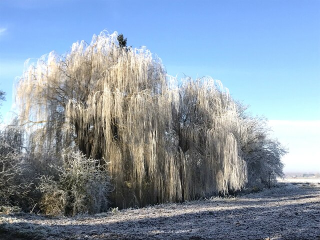
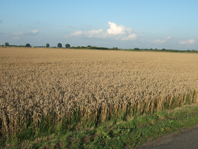
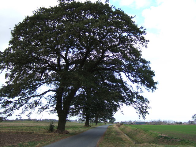
Long Meadow Field, located in Cambridgeshire, England, is a picturesque area that showcases the stunning natural beauty of the region. Spanning across acres of land, this field is a combination of downs and moorland, offering a diverse and captivating landscape.
The downs of Long Meadow Field are characterized by their gently rolling hills, covered in lush green grasses and scattered with wildflowers. These open spaces provide a peaceful and serene atmosphere, perfect for a leisurely stroll or a picnic with family and friends. The downs also offer breathtaking panoramic views of the surrounding countryside, allowing visitors to appreciate the expansive beauty of Cambridgeshire.
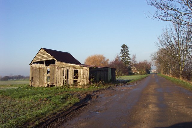
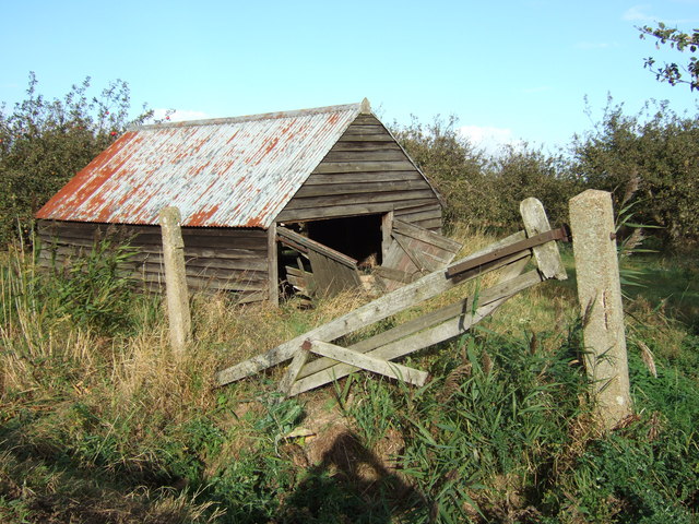
In contrast, the moorland of Long Meadow Field adds a touch of wildness to the landscape. Here, visitors can observe the unique flora and fauna that thrive in this habitat. The moorland is characterized by its heather-covered hills, interspersed with bracken and gorse bushes. This creates a vibrant and colorful setting, especially during the summer months when the heather blooms in shades of purple and pink.
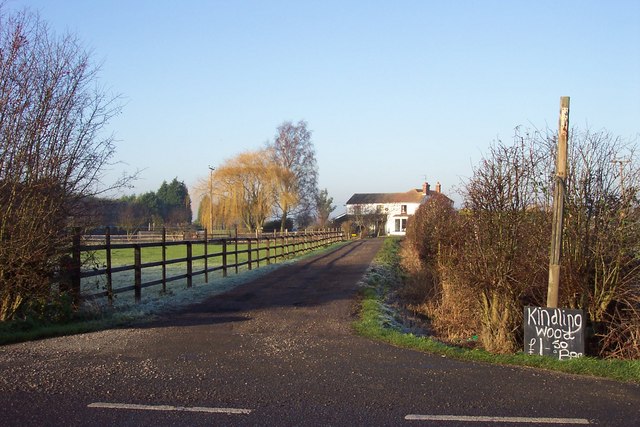
Long Meadow Field is not only visually appealing but also rich in biodiversity. The field is home to a variety of wildlife, including rabbits, hares, and numerous species of birds. It provides a haven for nature enthusiasts and birdwatchers, who can spot a range of avian species, such as skylarks and kestrels, soaring above the field.
Overall, Long Meadow Field in Cambridgeshire offers visitors a delightful blend of downs and moorland, showcasing the natural splendor of the region. Whether it's for a peaceful walk or to immerse oneself in the wonders of nature, this field is a must-visit destination for those seeking tranquility and natural beauty.
If you have any feedback on the listing, please let us know in the comments section below.
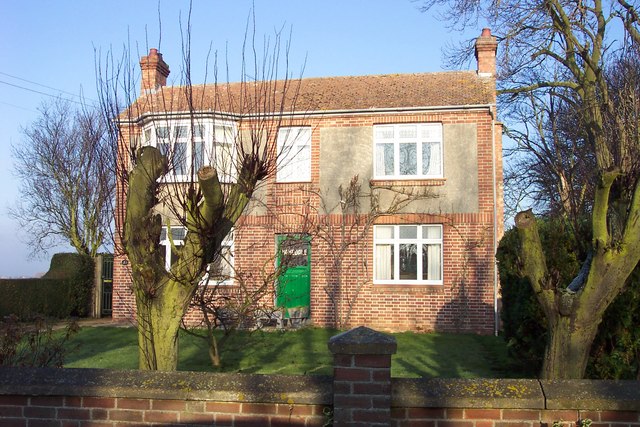
Long Meadow Field Images
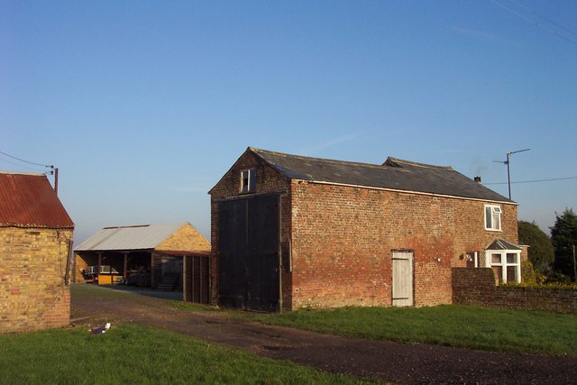
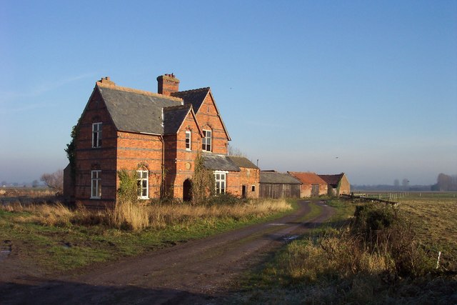
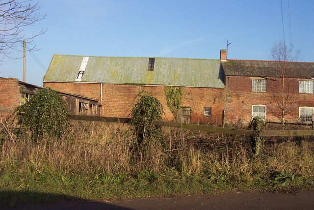
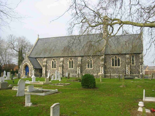
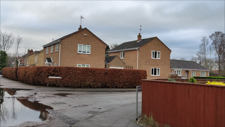
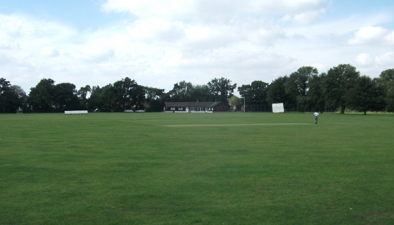
Images are sourced within 2km of 52.676923/0.1059256 or Grid Reference TF4210. Thanks to Geograph Open Source API. All images are credited.


Long Meadow Field is located at Grid Ref: TF4210 (Lat: 52.676923, Lng: 0.1059256)
Division: Isle of Ely
Administrative County: Cambridgeshire
District: Fenland
Police Authority: Cambridgeshire
What 3 Words
///revamping.revise.bolts. Near Wisbech, Cambridgeshire
Nearby Locations
Related Wikis

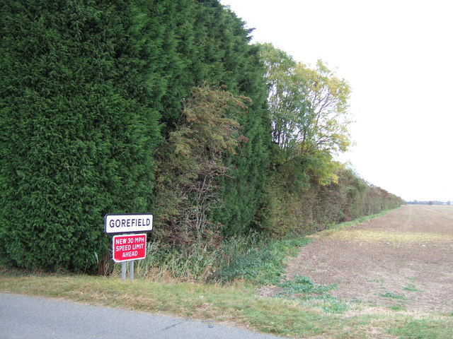
Gorefield
Gorefield is a village and civil parish in the Fenland district of Cambridgeshire, England. At the time of the 2001 census, the parish's population was...
Leverington
Leverington is a village and civil parish in the Fenland District of Cambridgeshire, England. The settlement is to the north of Wisbech. At the time of...

Leverington Hall
Leverington Hall is a 17th-century country house in the parish of Leverington, Cambridgeshire, England. The house is Grade I listed and is privately owned...
Wisbech St Mary railway station
Wisbech St Mary railway station was a station on the Midland and Great Northern Joint Railway line between Wisbech and Peterborough. Located in Wisbech...

Wisbech St Mary F.C.
Wisbech St Mary Football Club is a football club based in Wisbech St Mary, Cambridgeshire in England. The club are currently members of the Cambridgeshire...
Wisbech North railway station
Wisbech North railway station was a station serving the town of Wisbech, Cambridgeshire. It was part of the Midland and Great Northern Joint Railway and...
Murder of Una Crown
Una Crown (1926/1927 – 12/13 January 2013) was an 86-year-old widow who was murdered in her bungalow in Wisbech in Cambridgeshire, England, in 2013. Her...
Harecroft Road
Harecroft Road is a cricket ground in Wisbech, Cambridgeshire. The first recorded match on the ground was in 1926, when Cambridgeshire played the Leicestershire...
Nearby Amenities
Located within 500m of 52.676923,0.1059256Have you been to Long Meadow Field?
Leave your review of Long Meadow Field below (or comments, questions and feedback).