Burrow Lands
Downs, Moorland in Cambridgeshire Fenland
England
Burrow Lands
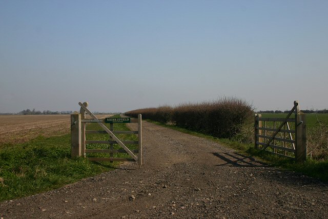
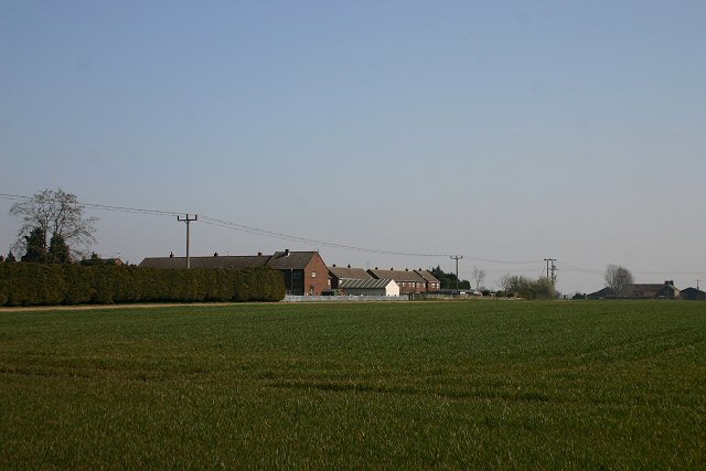
Burrow Lands is a picturesque area located in Cambridgeshire, England, known for its diverse landscape consisting of downs and moorland. Spanning approximately 200 acres, Burrow Lands is a haven for nature enthusiasts, offering a unique blend of natural beauty and wildlife.
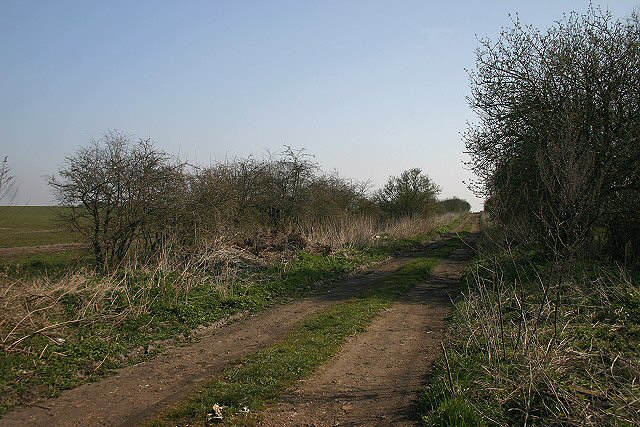
The downs in Burrow Lands are characterized by gently rolling hills covered in lush grasses and wildflowers. These open spaces provide panoramic views of the surrounding countryside, creating a tranquil and inviting atmosphere. Visitors can enjoy leisurely walks or picnics while immersing themselves in the serene surroundings.
Complementing the downs is the moorland, which encompasses areas of wetland and heath. This diverse habitat is home to a variety of plant and animal species, including rare birds, reptiles, and insects. Nature lovers can explore the moorland on designated trails, observing the rich biodiversity and experiencing the unique sights and sounds of this enchanting environment.
Burrow Lands is also known for its historical significance, with evidence of early settlement dating back thousands of years. Archaeological remains, such as ancient burial mounds and artifacts, have been discovered in the region, shedding light on the area's past inhabitants and their way of life.
With its stunning natural landscape, abundant wildlife, and historical significance, Burrow Lands offers a captivating experience for visitors seeking a peaceful retreat or an opportunity to connect with nature. Whether one chooses to explore the downs or venture into the moorland, Burrow Lands promises a memorable and enriching adventure.
If you have any feedback on the listing, please let us know in the comments section below.
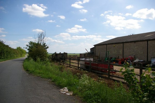
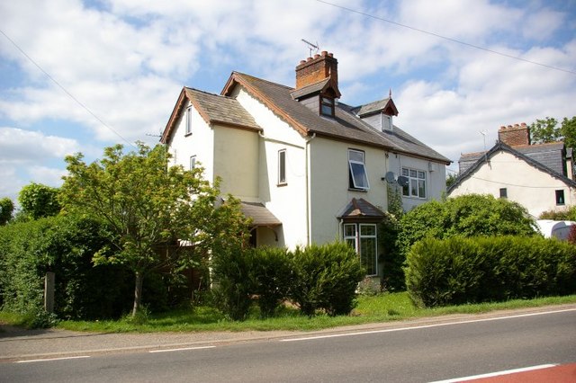
Burrow Lands Images
Images are sourced within 2km of 52.43911/0.060961421 or Grid Reference TL4084. Thanks to Geograph Open Source API. All images are credited.


Burrow Lands is located at Grid Ref: TL4084 (Lat: 52.43911, Lng: 0.060961421)
Division: Isle of Ely
Administrative County: Cambridgeshire
District: Fenland
Police Authority: Cambridgeshire
What 3 Words
///broads.swimmer.pianists. Near Chatteris, Cambridgeshire
Nearby Locations
Related Wikis

Cromwell Community College
Cromwell Community College is a coeducational all-through school and sixth form located in Chatteris, Cambridgeshire, England. == History == Cromwell...

Chatteris Abbey
Chatteris Abbey in Chatteris in the Isle of Ely, Cambridgeshire was founded as a monastery for Benedictine nuns in 1016 by Ednoth, Bishop of Dorchester...
Chatteris Town F.C.
Chatteris Town Football Club is a football club based in Chatteris, Cambridgeshire, England. They are currently members of the Peterborough & District...

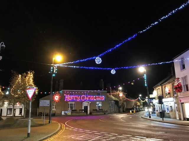
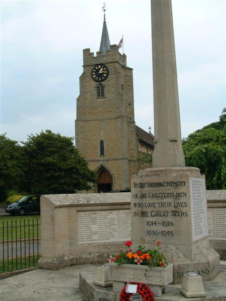
Chatteris
Chatteris () is a market town and civil parish in the Fenland district of Cambridgeshire, England, situated in The Fens between Huntingdon, March and Ely...

Chatteris railway station
Chatteris railway station was a station in Chatteris, Cambridgeshire on the line between St Ives and March. For much of its history it was run by the Great...

Forty Foot Drain
The Forty Foot or Forty Foot Drain is a name given to several of the principal channels in the drainage schemes of the Fens of Eastern England, the name...

Stonea
Stonea is a hamlet in Cambridgeshire, England, south east of March and part of the parish of Wimblington. Stonea today consists of a scattered collection...
Swingbrow
Swingbrow (sometimes written Swing Brow) is a hamlet near to Chatteris , Cambridgeshire lying alongside the Forty Foot Drain built by Vermuyden. A Neolithic...
Nearby Amenities
Located within 500m of 52.43911,0.060961421Have you been to Burrow Lands?
Leave your review of Burrow Lands below (or comments, questions and feedback).