Burrow Pond

Lake, Pool, Pond, Freshwater Marsh in Cambridgeshire Fenland

England

Burrow Pond

Merry Christmas - Lights in Chatteris 2021
Merry Christmas - Lights in Chatteris 2021 Credit: Richard Humphrey

Burrow Pond, located in Cambridgeshire, is a picturesque body of water that encompasses the characteristics of a lake, pool, pond, and freshwater marsh. Covering an area of approximately 20 acres, it is nestled within a serene natural landscape, surrounded by lush greenery and diverse wildlife.

The pond is known for its crystal-clear, freshwater, which provides a habitat for a variety of aquatic plants and animals. Its calm waters are home to numerous species of fish, including perch, roach, and pike, making it a popular spot for fishing enthusiasts.

The surrounding vegetation consists of reeds, rushes, and water lilies, creating a vibrant and colorful ecosystem. These plants also serve as a nesting site for a wide range of bird species, such as swans, ducks, and herons, attracting birdwatchers throughout the year.

Burrow Pond offers visitors a tranquil setting to enjoy leisure activities like boating and canoeing. With its gentle slopes and sandy shores, it provides a safe spot for swimming and picnicking, making it an ideal destination for families and nature enthusiasts.

The pond is easily accessible, with a well-maintained footpath that encircles its perimeter, allowing visitors to explore the area and observe the wildlife up close. Additionally, there are designated bird hides strategically placed along the trail, providing perfect vantage points for bird watching and photography.

Overall, Burrow Pond in Cambridgeshire is a natural gem, offering a unique blend of aquatic habitats and diverse wildlife. Its tranquil ambiance, combined with recreational opportunities, makes it an appealing destination for both locals and tourists seeking a peaceful retreat in nature.

If you have any feedback on the listing, please let us know in the comments section below.
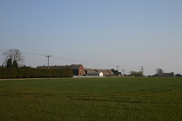
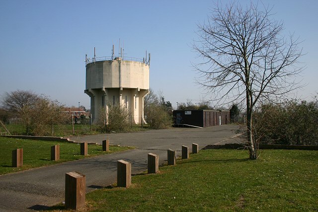
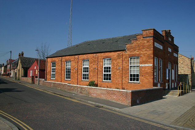
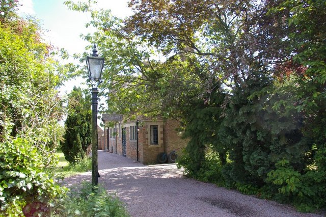
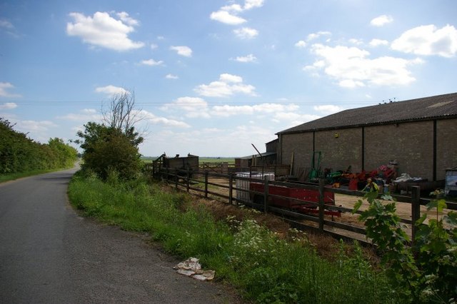
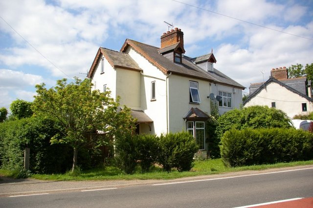
Burrow Pond Images

Images are sourced within 2km of 52.440094/0.065406578 or Grid Reference TL4084. Thanks to Geograph Open Source API. All images are credited.

Merry Christmas - Lights in Chatteris 2021
Isle of Ely Way at the junction of New Road Here is my previous visit <a title="https://www.geograph.org.uk/photo/6870989" href="https://www.geograph.org.uk/photo/6870989">Link</a>
Isle of Ely Way at the junction of New Road
Here is my previous visit Link
Chatteris Parish Church of St Peter and St Paul A view of the church from the War memorial
Chatteris Parish Church of St Peter and St Paul
A view of the church from the War memorial
Track to Middlefield This private driveway leads north-east from Horseley Fen Middle Drove to a farm shown on the map as Horselode Farm, which appears to have changed its name, according to the sign on the gate.
Track to Middlefield
This private driveway leads north-east from Horseley Fen Middle Drove to a farm shown on the map as Horselode Farm, which appears to have changed its name, according to the sign on the gate.
Dean Drove This byway leads to Wood Farm from the minor road known as Stocking Drove.
Dean Drove
This byway leads to Wood Farm from the minor road known as Stocking Drove.
Southern limit of Chatteris Looking north-west from the B1050 London Road, these houses form the southern extremity of the town of Chatteris.
Southern limit of Chatteris
Looking north-west from the B1050 London Road, these houses form the southern extremity of the town of Chatteris.
Chatteris water tower This water tower stands in the heart of the town, with the local Community College (the Cambridgeshire version of 'secondary school') immediately behind.
Chatteris water tower
This water tower stands in the heart of the town, with the local Community College (the Cambridgeshire version of 'secondary school') immediately behind.
Salvation Army Fortress, Chatteris This church, built in 1889, known as a 'fortress' in Salvation Army parlance, is located at the junction of East Park Street and Victoria Street.
Salvation Army Fortress, Chatteris
This church, built in 1889, known as a 'fortress' in Salvation Army parlance, is located at the junction of East Park Street and Victoria Street.
The Grange, Ferry Hill
Mower centre, Ferry Hill, with view along road to Sutton
House at Ferry Hill
House at Ferry Hill
Chatteris fire station Chatteris fire station, Station Street, Chatteris, Cambridgeshire
Chatteris fire station
Chatteris fire station, Station Street, Chatteris, Cambridgeshire
Royal Mail Building Situated on Park street.
Royal Mail Building
Situated on Park street.
Baptist Chapel Chatteris
The Junction Of Station Street And Market Hill
Ugly Building On Park Street
Black mail? An unusual colour choice for the postbox in the wall of the sorting office at Chatteris.  Note also the unusually low position of the box just above the ground.  A later visitor found it repainted in a more usual hue <a href="https://www.geograph.org.uk/photo/5497854">TL3985 : Postbox, Royal Mail Sorting Office, Chatteris</a>.
Black mail?
An unusual colour choice for the postbox in the wall of the sorting office at Chatteris. Note also the unusually low position of the box just above the ground. A later visitor found it repainted in a more usual hue TL3985 : Postbox, Royal Mail Sorting Office, Chatteris.
The George Hotel, Chatteris On High Street.
The George Hotel, Chatteris
On High Street.
Show me another place!

Burrow Pond is located at Grid Ref: TL4084 (Lat: 52.440094, Lng: 0.065406578)

Division: Isle of Ely

Administrative County: Cambridgeshire

District: Fenland

Police Authority: Cambridgeshire

What 3 Words

///obligated.armful.landowner. Near Chatteris, Cambridgeshire

Nearby Locations

Burrow Pond Burrow Lands

Related Wikis

Cromwell Community College

Cromwell Community College is a coeducational all-through school and sixth form located in Chatteris, Cambridgeshire, England. == History == Cromwell...

Chatteris Abbey

Chatteris Abbey in Chatteris in the Isle of Ely, Cambridgeshire was founded as a monastery for Benedictine nuns in 1016 by Ednoth, Bishop of Dorchester...

Chatteris

Chatteris () is a market town and civil parish in the Fenland district of Cambridgeshire, England, situated in The Fens between Huntingdon, March and Ely...

Chatteris Town F.C.

Chatteris Town Football Club is a football club based in Chatteris, Cambridgeshire, England. They are currently members of the Peterborough & District...

Chatteris railway station

Chatteris railway station was a station in Chatteris, Cambridgeshire on the line between St Ives and March. For much of its history it was run by the Great...

Forty Foot Drain

The Forty Foot or Forty Foot Drain is a name given to several of the principal channels in the drainage schemes of the Fens of Eastern England, the name...

Stonea

Stonea is a hamlet in Cambridgeshire, England, south east of March and part of the parish of Wimblington. Stonea today consists of a scattered collection...

Swingbrow

Swingbrow (sometimes written Swing Brow) is a hamlet near to Chatteris , Cambridgeshire lying alongside the Forty Foot Drain built by Vermuyden. A Neolithic...

Nearby Amenities

Located within 500m of 52.440094,0.065406578
Power: pole
Lat/Long: 52.440613/0.0594757
Power: pole
Lat/Long: 52.4373788/0.0647272
Power: pole
Lat/Long: 52.4399265/0.0636168
Power: pole
Lat/Long: 52.4363243/0.0652019
Power: pole
Lat/Long: 52.4401538/0.0621951
Power: pole
Lat/Long: 52.4403926/0.0608138
Power: pole
Lat/Long: 52.4386739/0.0641586
Power: pole
Lat/Long: 52.4392005/0.0690027
Power: pole
Lat/Long: 52.443952/0.0627081
Power: pole
Lat/Long: 52.4377976/0.0704352
Power: pole
Lat/Long: 52.4409092/0.0667308
Power: pole
Lat/Long: 52.4412673/0.0662561
Power: pole
Lat/Long: 52.4397582/0.0682462
Power: pole
Lat/Long: 52.4416936/0.0683627
Power: pole
Lat/Long: 52.4413652/0.0676616
Power: pole
Lat/Long: 52.4409549/0.0668059
Power: pole
Lat/Long: 52.4386152/0.069743
Power: pole
Lat/Long: 52.4426946/0.0644026
Power: pole
Lat/Long: 52.4403514/0.0674631
Power: pole
Lat/Long: 52.4419426/0.0653977
Building: yes
Lat/Long: 52.4403644/0.0711355
Building: yes
Lat/Long: 52.4416593/0.0688717
Building: yes
Lat/Long: 52.4423329/0.070878
The data included in this document is from www.openstreetmap.org. The data is made available under ODbL.

Have you been to Burrow Pond?

Leave your review of Burrow Pond below (or comments, questions and feedback).