Blacklane Field
Downs, Moorland in Cambridgeshire Fenland
England
Blacklane Field
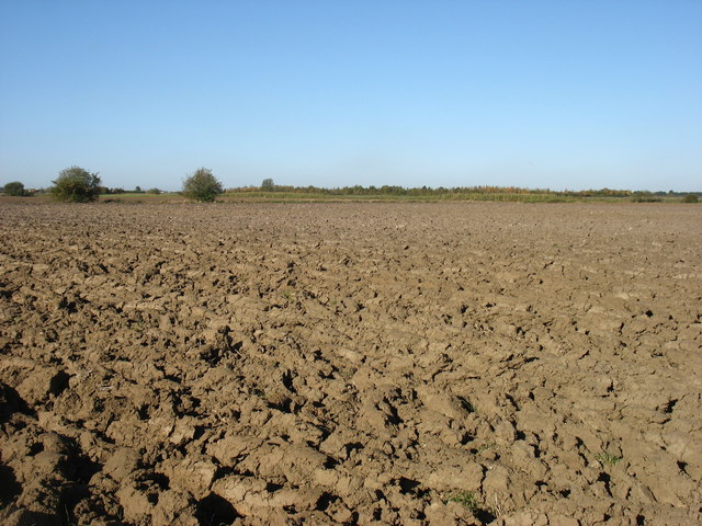
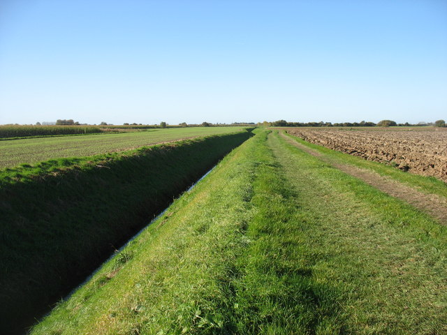
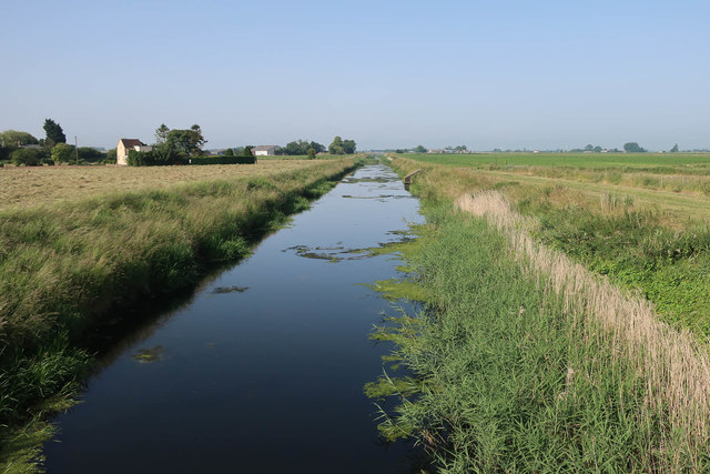
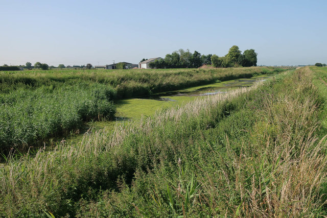
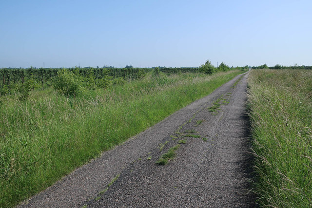
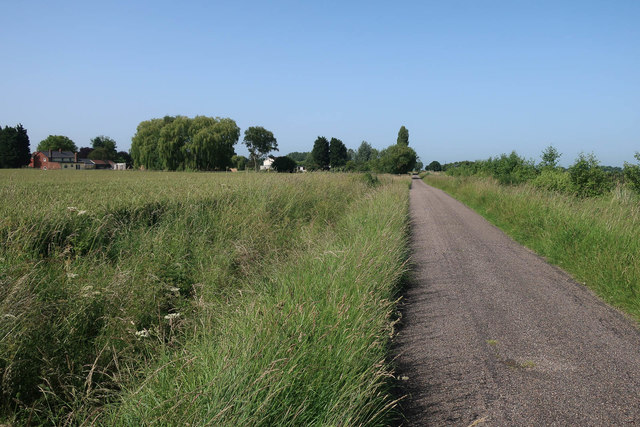
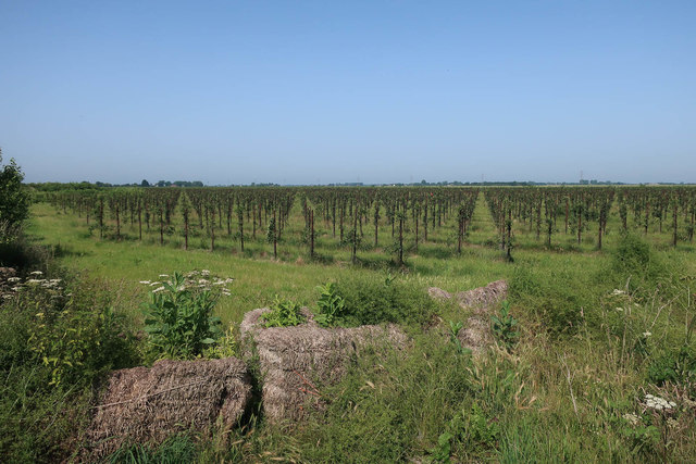
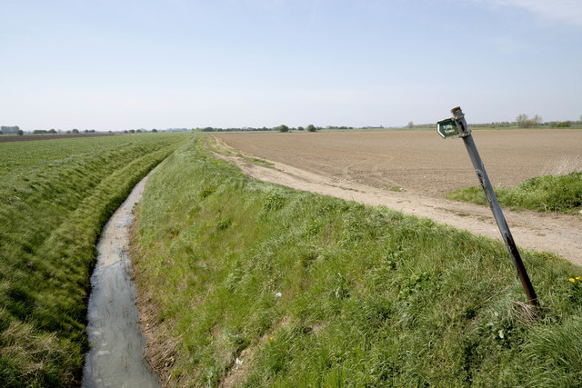
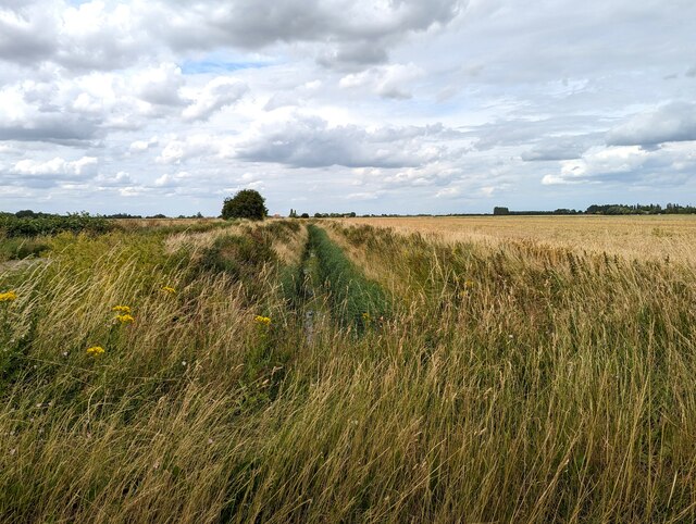
Blacklane Field is a picturesque area located in Cambridgeshire, known for its scenic beauty and diverse natural landscapes. Situated in the downs and moorland region, it covers a vast expanse of approximately 500 acres. The field is characterized by its rolling hills, open meadows, and stretches of moorland, offering visitors a unique mix of tranquil countryside and breathtaking views.
The downs of Blacklane Field are marked by gently sloping hills, covered in lush green grasses and scattered with wildflowers during the warmer months. These hills provide a perfect vantage point to admire the surrounding countryside, with panoramic vistas stretching as far as the eye can see.
In contrast, the moorland sections of the field present a different ambiance. Here, visitors can explore a more rugged terrain, with heather-covered hillsides and peat bogs. The moorland is home to a variety of wildlife, with sightings of birds, rabbits, and occasionally, deer.
Blacklane Field is a haven for outdoor enthusiasts, offering numerous walking trails and paths that wind through its various landscapes. The field is also a popular spot for picnics and nature photography, attracting visitors who seek solace in its peaceful surroundings.
Overall, Blacklane Field in Cambridgeshire is a captivating destination that showcases the beauty of the downs and moorland landscapes. Its diverse topography, stunning views, and abundant wildlife make it a must-visit location for nature lovers and those seeking a respite from the hustle and bustle of everyday life.
If you have any feedback on the listing, please let us know in the comments section below.
Blacklane Field Images
Images are sourced within 2km of 52.680197/0.063432257 or Grid Reference TF3911. Thanks to Geograph Open Source API. All images are credited.


Blacklane Field is located at Grid Ref: TF3911 (Lat: 52.680197, Lng: 0.063432257)
Division: Isle of Ely
Administrative County: Cambridgeshire
District: Fenland
Police Authority: Cambridgeshire
What 3 Words
///tortoises.meanings.exposing. Near Gedney Hill, Lincolnshire
Nearby Locations
Related Wikis

Gorefield
Gorefield is a village and civil parish in the Fenland district of Cambridgeshire, England. At the time of the 2001 census, the parish's population was...
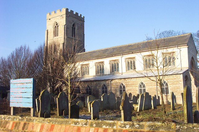
St John the Baptist's Church, Parson Drove
St John the Baptist's Church is a redundant Anglican church in the village of Parson Drove, Cambridgeshire, England. It is recorded in the National Heritage...

FC Parson Drove
Football Club Parson Drove is a football club based in Parson Drove, Cambridgeshire, England. They are currently members of the Eastern Counties League...

Parson Drove
Parson Drove is a fen village in the Isle of Ely, Cambridgeshire, England. A linear settlement, it is 6 miles (10 km) west of Wisbech, the nearest town...
Sutton St Edmund
Sutton St Edmunds is a village and civil parish in the South Holland district of Lincolnshire, England, about 14 miles (23 km) south-east from the town...
Wisbech St Mary F.C.
Wisbech St Mary Football Club is a football club based in Wisbech St Mary, Cambridgeshire in England. The club are currently members of the Cambridgeshire...
Wisbech St Mary railway station
Wisbech St Mary railway station was a station on the Midland and Great Northern Joint Railway line between Wisbech and Peterborough. Located in Wisbech...
The Museum of Technology
The Museum of Technology the History of Gadgets and Gizmos (formerly The Museum of Technology, The Great War and WWII) is a technology museum in Throckenholt...
Nearby Amenities
Located within 500m of 52.680197,0.063432257Have you been to Blacklane Field?
Leave your review of Blacklane Field below (or comments, questions and feedback).