Elbow Field
Downs, Moorland in Cambridgeshire Fenland
England
Elbow Field
Elbow Field is a picturesque area situated in Cambridgeshire, England. It is known for its diverse landscapes, encompassing downs and moorland, making it a haven for nature enthusiasts and hikers.
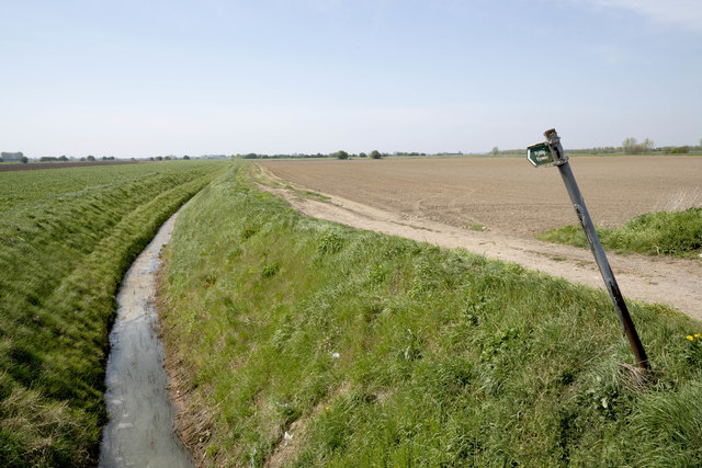
The downs of Elbow Field offer rolling hills covered in lush green grass, providing a scenic backdrop for visitors. These are often dotted with grazing livestock, adding to the area's rural charm. The downs are ideal for long walks, picnics, or simply enjoying the breathtaking views of the surrounding countryside.
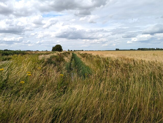
In contrast, the moorland of Elbow Field showcases a different aspect of the region's natural beauty. Here, visitors can experience a unique ecosystem characterized by heather-covered hills and patches of open water. This habitat supports a variety of wildlife, including rare bird species like curlews and skylarks, making it a popular spot for birdwatchers.
Elbow Field also features well-maintained footpaths and trails, allowing visitors to explore the area at their own pace. These paths traverse both the downs and moorland, offering different perspectives of the landscape. Additionally, there are designated areas for camping and picnicking, providing opportunities for visitors to immerse themselves in the tranquility of the surroundings.
Overall, Elbow Field in Cambridgeshire is a natural gem, offering a diverse range of landscapes that cater to outdoor enthusiasts and nature lovers. Whether one seeks a leisurely stroll through rolling downs or an immersive experience in moorland wildlife, Elbow Field provides an idyllic setting to connect with nature.
If you have any feedback on the listing, please let us know in the comments section below.
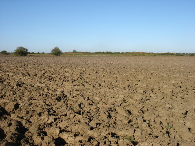
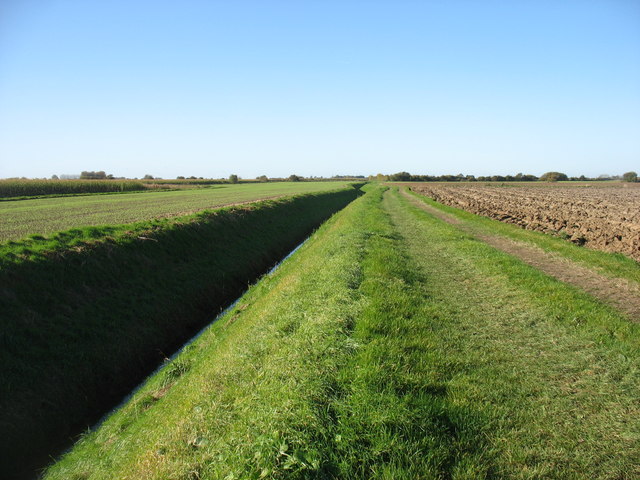
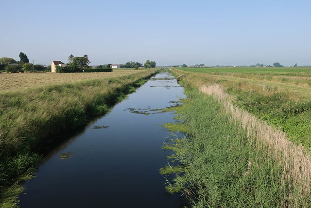
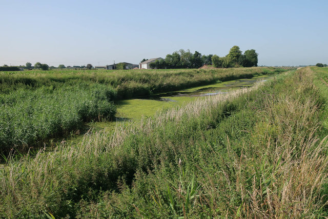
Elbow Field Images
Images are sourced within 2km of 52.668633/0.0609055 or Grid Reference TF3909. Thanks to Geograph Open Source API. All images are credited.


Elbow Field is located at Grid Ref: TF3909 (Lat: 52.668633, Lng: 0.0609055)
Division: Isle of Ely
Administrative County: Cambridgeshire
District: Fenland
Police Authority: Cambridgeshire
What 3 Words
///functions.butterfly.flamenco. Near Gedney Hill, Lincolnshire
Nearby Locations
Related Wikis
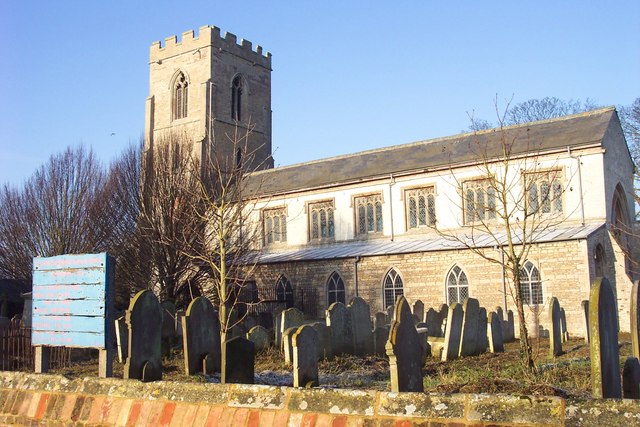
St John the Baptist's Church, Parson Drove
St John the Baptist's Church is a redundant Anglican church in the village of Parson Drove, Cambridgeshire, England. It is recorded in the National Heritage...

FC Parson Drove
Football Club Parson Drove is a football club based in Parson Drove, Cambridgeshire, England. They are currently members of the Eastern Counties League...

Parson Drove
Parson Drove is a fen village and civil parish in the Isle of Ely, Cambridgeshire, England. A linear settlement, it is 6 miles (10 km) west of Wisbech...

Gorefield
Gorefield is a village and civil parish in the Fenland district of Cambridgeshire, England. At the time of the 2001 census, the parish's population was...
Have you been to Elbow Field?
Leave your review of Elbow Field below (or comments, questions and feedback).