Earith Fen

Downs, Moorland in Huntingdonshire Huntingdonshire

England

Earith Fen

Counterwash and Sutton Fen Looking down from the bank of the Ouse Washes.
Counterwash and Sutton Fen Credit: Hugh Venables

The requested URL returned error: 429 Too Many Requests

If you have any feedback on the listing, please let us know in the comments section below.
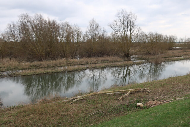
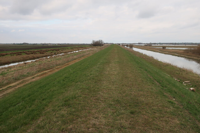
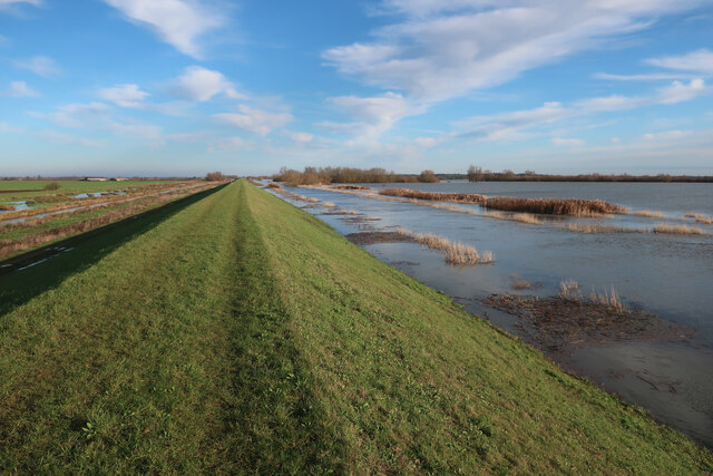
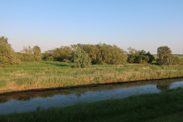
Earith Fen Images

Images are sourced within 2km of 52.369621/0.044533462 or Grid Reference TL3976. Thanks to Geograph Open Source API. All images are credited.

Counterwash and Sutton Fen Looking down from the bank of the Ouse Washes.
Counterwash and Sutton Fen
Looking down from the bank of the Ouse Washes.
Flooded hedgerow This amount of water on the washes in May means many ground nesting birds can't breed, often having their nest inundated. It is unfortunately getting more common.
Flooded hedgerow
This amount of water on the washes in May means many ground nesting birds can't breed, often having their nest inundated. It is unfortunately getting more common.
Spring flooding on the Ouse Washes The drought conditions of the 2011/12 winter broke in spectacular fashion with significant flooding. Water in the Ouse Washes is 'good' from a land drainage point of view but disastrous for ground nesting birds. This is a particular issue for wading birds as the Ouse Washes have become a stronghold for several species as other wet grassland areas have been lost.
Spring flooding on the Ouse Washes
The drought conditions of the 2011/12 winter broke in spectacular fashion with significant flooding. Water in the Ouse Washes is 'good' from a land drainage point of view but disastrous for ground nesting birds. This is a particular issue for wading birds as the Ouse Washes have become a stronghold for several species as other wet grassland areas have been lost.
Sutton Fen Looking across from the banks of the Ouse Washes, which count as a local high point in this landscape.
Sutton Fen
Looking across from the banks of the Ouse Washes, which count as a local high point in this landscape.
Sutton Meadlands
Sutton Meadlands
Ditch by Meadlands Main Drove
Swan overflight, Sutton Meadlands, Main Drove
Belt of trees near Hermitage Farm, Earith
Fields by Hundred Foot Bank
Narrowboat on New Bedford River The man-made New Bedford River is higher than the surrounding farmland, with water pumped up into the washes, as well as water from the Great Ouse being diverted from the natural route to help keep the farmland from flooding.
Narrowboat on New Bedford River
The man-made New Bedford River is higher than the surrounding farmland, with water pumped up into the washes, as well as water from the Great Ouse being diverted from the natural route to help keep the farmland from flooding.
Wet woodland in the Ouse Washes The channel inside the flood bank at the southern end of the washes is called the Old Bedford River. The name swaps to the Counter Drain at Welches Dam, with this channel becoming the River Delph.
Wet woodland in the Ouse Washes
The channel inside the flood bank at the southern end of the washes is called the Old Bedford River. The name swaps to the Counter Drain at Welches Dam, with this channel becoming the River Delph.
Old Bedford Barrier Bank The northwest side of the Ouse Washes.
Old Bedford Barrier Bank
The northwest side of the Ouse Washes.
Old Bedford Barrier Bank The northwest side of the Ouse Washes, which are doing their job of holding excess water from the Great Ouse and the low-lying Fens.
Old Bedford Barrier Bank
The northwest side of the Ouse Washes, which are doing their job of holding excess water from the Great Ouse and the low-lying Fens.
Swan on the Counter Drain Looking away from the Ouse Washes from the Old Bedford Barrier Bank.
Swan on the Counter Drain
Looking away from the Ouse Washes from the Old Bedford Barrier Bank.
Old Bedford Barrier Bank The northwest side of the Ouse Washes, which are doing their job of holding excess water from the Great Ouse and the low-lying Fens.
Old Bedford Barrier Bank
The northwest side of the Ouse Washes, which are doing their job of holding excess water from the Great Ouse and the low-lying Fens.
Old Bedford Barrier Bank See <a href="https://www.geograph.org.uk/photo/7374544">TL4076 : Old Bedford Barrier Bank</a> for a winter view. In summer the washes are wet marsh and grazing.
Old Bedford Barrier Bank
See TL4076 : Old Bedford Barrier Bank for a winter view. In summer the washes are wet marsh and grazing.
Ouse Washes in summer Drying out after a wet spring.
Ouse Washes in summer
Drying out after a wet spring.
Wet woodland in the Ouse Washes
Show me another place!

Earith Fen is located at Grid Ref: TL3976 (Lat: 52.369621, Lng: 0.044533462)

Administrative County: Cambridgeshire

District: Huntingdonshire

Police Authority: Cambridgeshire

What 3 Words

///coping.colonies.prowess. Near Earith, Cambridgeshire

Nearby Locations

Earith Fen

Related Wikis

Old Bedford River

The Old Bedford River is an artificial, partial diversion of the waters of the River Great Ouse in the Fens of Cambridgeshire, England. It was named after...

Earith Bridge railway station

Earith Bridge railway station was a station in Earith, Cambridgeshire on the Ely and St Ives Railway. It was closed to regular passenger trains in 1931...

Berry Fen

Berry Fen is a 15.3-hectare (38-acre) biological Site of Special Scientific Interest on the western outskirts of Earith in Cambridgeshire.This neutral...

Colne, Cambridgeshire

Colne is a village and civil parish in Cambridgeshire, England. Colne lies about 9 miles (14 km) east of Huntingdon; the villages of Bluntisham, Woodhurst...

Nearby Amenities

Located within 500m of 52.369621,0.044533462
Earith Lakes Fishery
Leisure: fishing
Lat/Long: 52.3692881/0.0374543
Bridge Farm
Landuse: farm
Note Retag: CS #48756035
Lat/Long: 52.3723024/0.0402683
Power: pole
Lat/Long: 52.3718623/0.0391361
Power: pole
Lat/Long: 52.3710509/0.0394003
Power: pole
Lat/Long: 52.3706317/0.0395518
Power: pole
Lat/Long: 52.3714603/0.0392782
Power: pole
Lat/Long: 52.370257/0.0382506
Building: yes
Lat/Long: 52.3664379/0.0460086
The data included in this document is from www.openstreetmap.org. The data is made available under ODbL.

Have you been to Earith Fen?

Leave your review of Earith Fen below (or comments, questions and feedback).