The Parks
Downs, Moorland in Huntingdonshire Huntingdonshire
England
The Parks
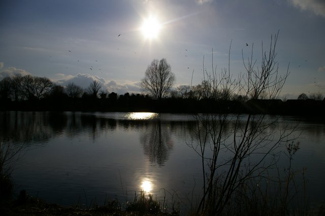
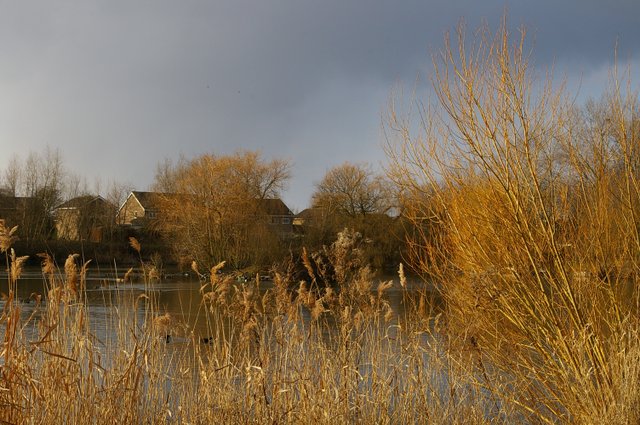
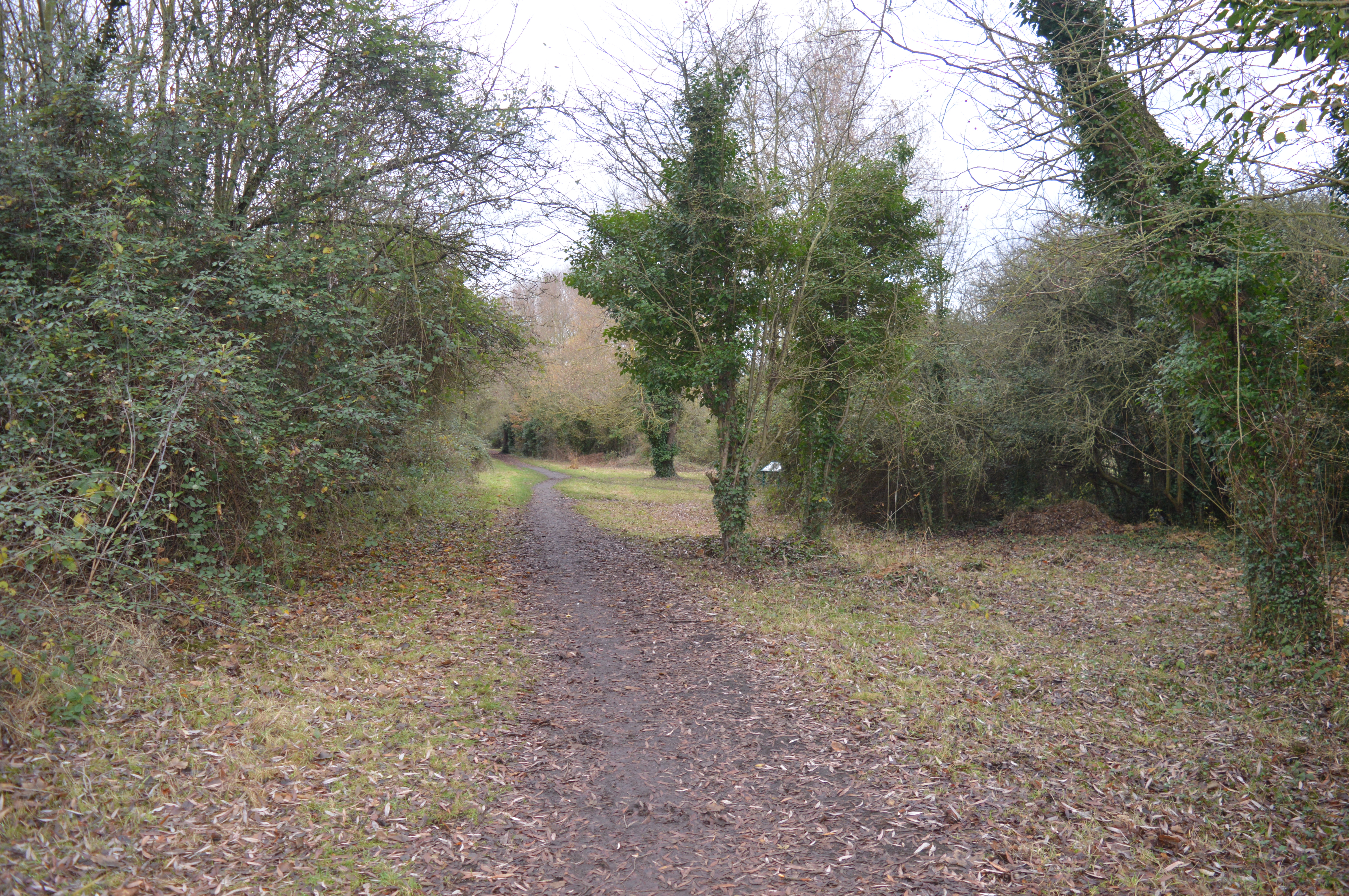
The Parks, located in Huntingdonshire, England, is a stunning natural landscape that encompasses both downs and moorland. Spanning over a vast area, it offers visitors a diverse range of outdoor experiences and breathtaking scenery.
The downs in The Parks are characterized by their gently rolling hills and expansive grasslands. These open spaces provide ample opportunities for leisurely walks, picnics, and outdoor games. The downs also offer panoramic views of the surrounding countryside, making it a popular spot for photographers and nature enthusiasts.
On the other hand, the moorland in The Parks is a unique ecosystem that boasts a rich biodiversity. Covered in heather and characterized by its damp and acidic soil, this area is home to a variety of plant and animal species. Visitors to the moorland can enjoy peaceful walks along the winding paths, spotting rare birds, and observing the vibrant flora that thrives in this environment.
The Parks is also a haven for wildlife, with various species making their homes in the area. Birdwatchers will delight in the opportunity to spot kestrels, buzzards, and skylarks soaring through the skies. The moorland is also home to a diverse range of mammals, including hares, rabbits, and deer.
With its natural beauty and tranquil atmosphere, The Parks, Huntingdonshire (Downs, Moorland) is a must-visit destination for those seeking a peaceful retreat in the heart of nature. Whether you are looking for a scenic walk, a birdwatching adventure, or simply a place to relax and unwind, The Parks offers something for everyone.
If you have any feedback on the listing, please let us know in the comments section below.
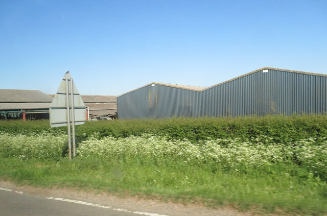
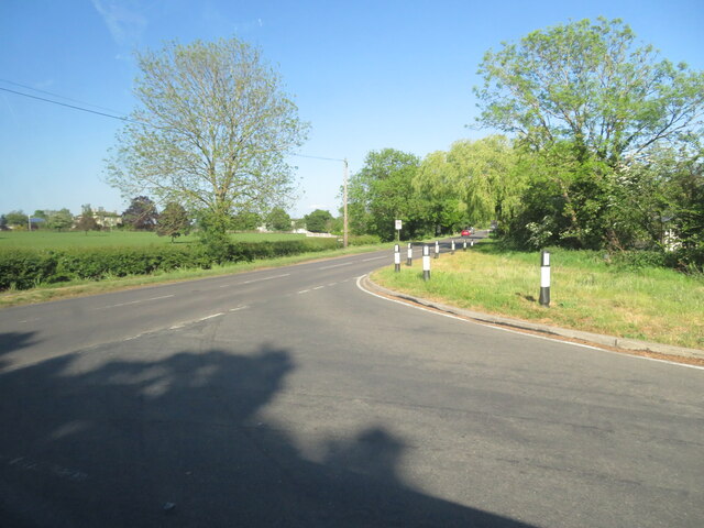
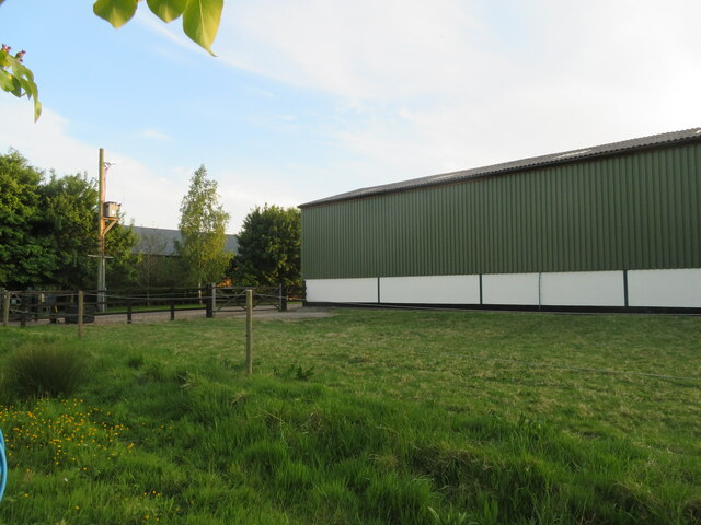
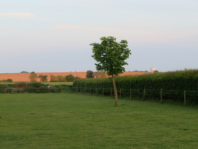
The Parks Images
Images are sourced within 2km of 52.373946/-0.012371141 or Grid Reference TL3576. Thanks to Geograph Open Source API. All images are credited.
The Parks is located at Grid Ref: TL3576 (Lat: 52.373946, Lng: -0.012371141)
Administrative County: Cambridgeshire
District: Huntingdonshire
Police Authority: Cambridgeshire
What 3 Words
///values.runways.comforted. Near Somersham, Cambridgeshire
Nearby Locations
Related Wikis

Somersham Town F.C.
Somersham Town Football Club is a football club based in Somersham, near St Ives in Cambridgeshire, England. They club are members of the Cambridgeshire...

Somersham
Somersham is a village and civil parish in Cambridgeshire, England. Somersham lies approximately 9 miles (14 km) east of Huntingdon and 4 miles (6 km)...

Somersham railway station
Somersham railway station was a station in Somersham, Cambridgeshire on the Great Eastern Railway between March and St Ives. There was also a branch line...
Somersham Local Nature Reserve
Somersham Local Nature Reserve is an 8.9 hectare Local Nature Reserve in Somersham in Cambridgeshire. It is owned and managed by Cambridgeshire County...

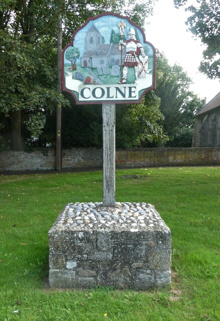
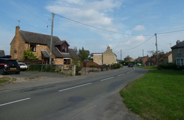
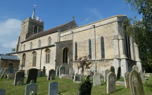
Colne, Cambridgeshire
Colne is a village and civil parish in Cambridgeshire, England. Colne lies about 9 miles (14 km) east of Huntingdon; the villages of Bluntisham, Woodhurst...

Pidley
Pidley is a small village in Cambridgeshire, England. Pidley lies approximately 7 miles (11 km) north-east of Huntingdon. Together with the neighbouring...

Bluntisham railway station
Bluntisham railway station was a station in Bluntisham, Cambridgeshire on the Ely and St Ives Railway. The station closed for regular passenger services...

Bluntisham
Bluntisham is a village and civil parish in Cambridgeshire, England. The population of the civil parish at the 2011 census was 2,003. Bluntisham lies approximately...
Have you been to The Parks?
Leave your review of The Parks below (or comments, questions and feedback).