Warboys High Fen
Downs, Moorland in Huntingdonshire Huntingdonshire
England
Warboys High Fen
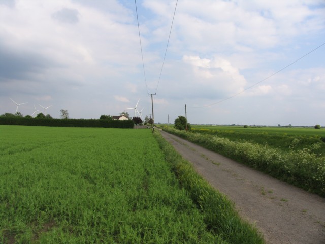
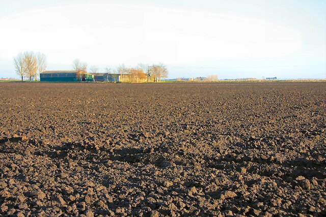
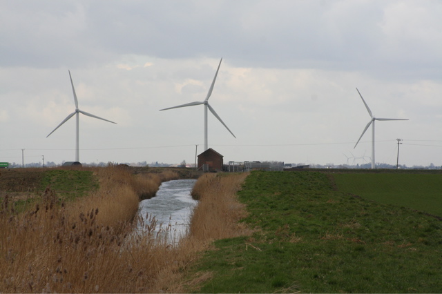
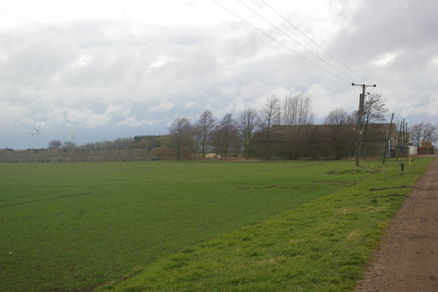
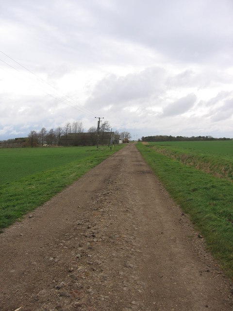
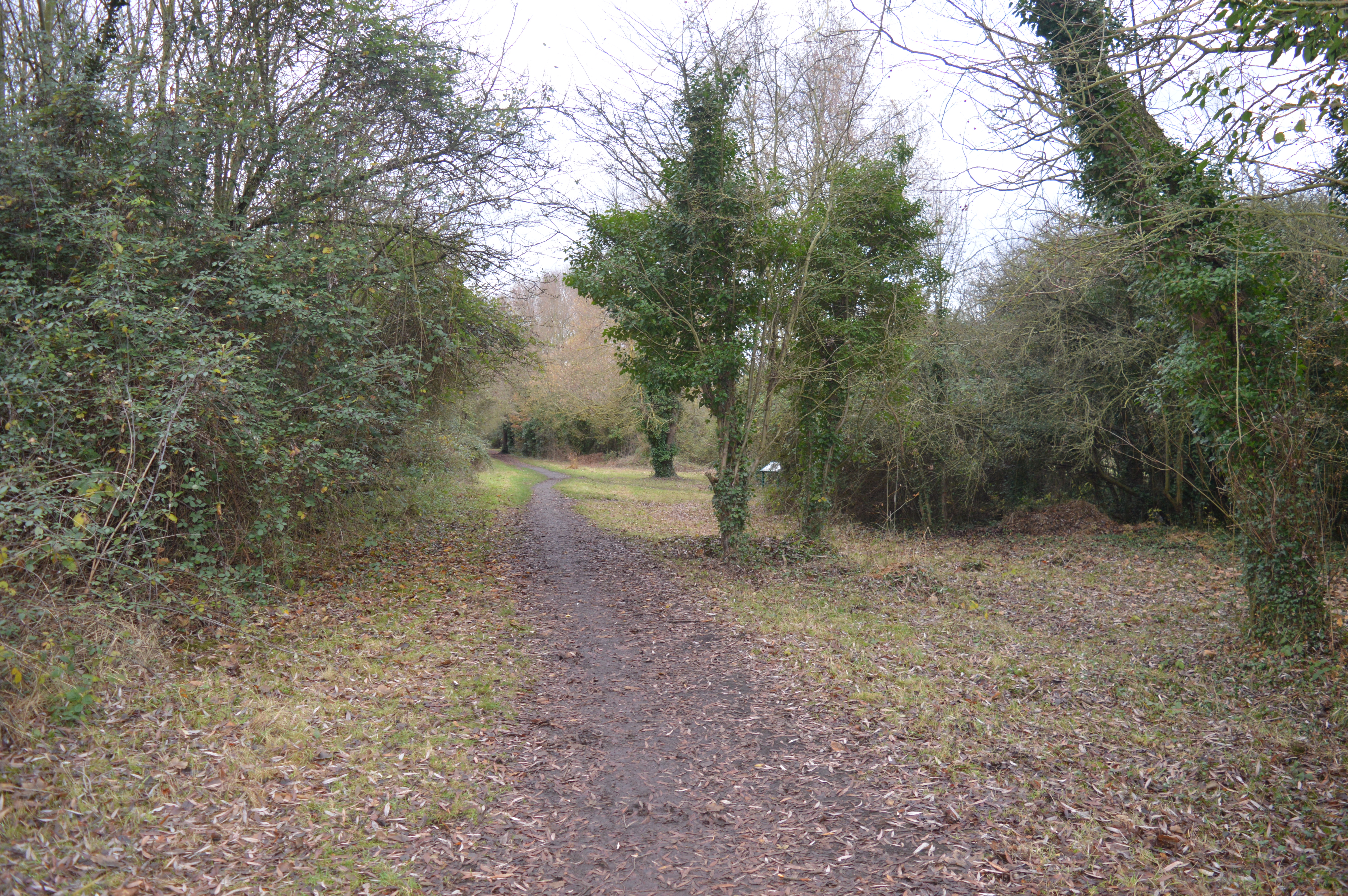
Warboys High Fen, located in Huntingdonshire, is a remarkable natural area that encompasses downs and moorland. Spanning over a significant area, it offers visitors a diverse landscape with its unique features and abundant wildlife.
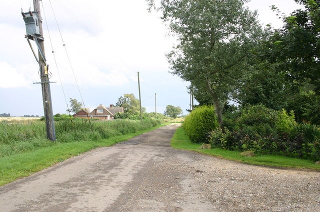
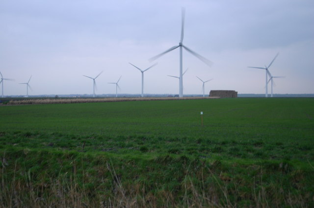
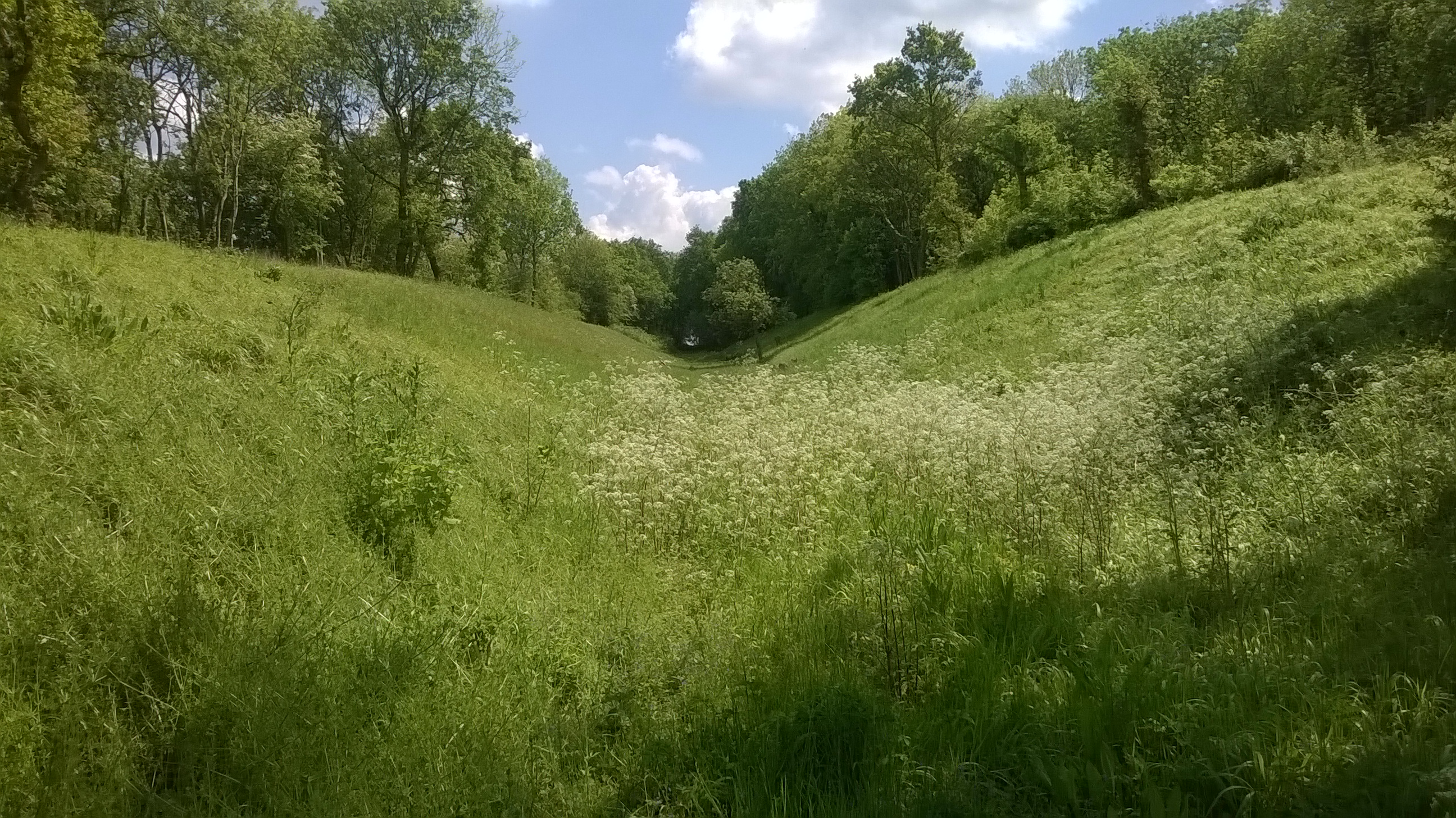
The downs of Warboys High Fen are characterized by their gently rolling hills and expansive grasslands. These open spaces are home to a variety of plant species, including wildflowers, grasses, and heather. The downs provide a picturesque backdrop and are ideal for leisurely walks and picnics, allowing visitors to appreciate the serene beauty of the surroundings.
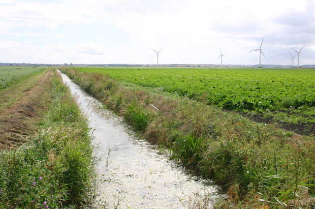
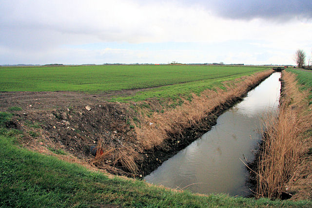
In contrast, the moorland found within Warboys High Fen offers a slightly different experience. This area is characterized by its wetland habitat, with marshes, ponds, and reed beds, creating an ideal environment for a wide range of water-loving plants and animals. Visitors can expect to see an array of bird species, such as herons, ducks, and swans, as well as various amphibians and insects.
Warboys High Fen is also known for its rich history and cultural significance. The area has been inhabited for centuries, with evidence of human activity dating back to prehistoric times. Archaeological discoveries, including ancient artifacts and burial mounds, have provided insights into the lives of the people who once lived here.
Overall, Warboys High Fen is a fascinating destination that offers a blend of natural beauty, wildlife, and historical significance. Whether exploring the downs or venturing into the moorland, visitors are sure to be captivated by the charm and diversity of this unique area.
If you have any feedback on the listing, please let us know in the comments section below.
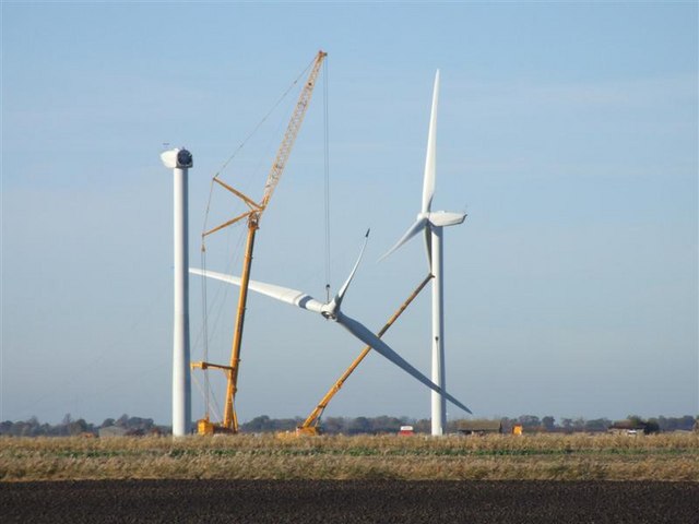
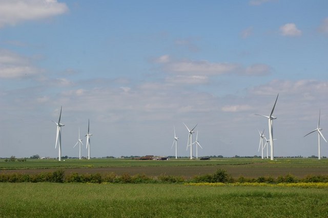
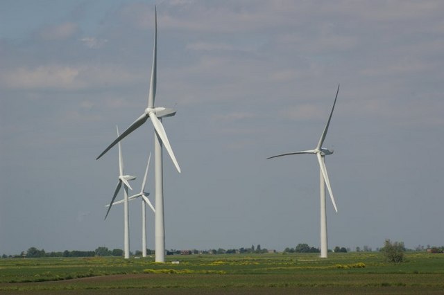
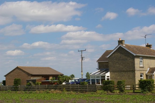
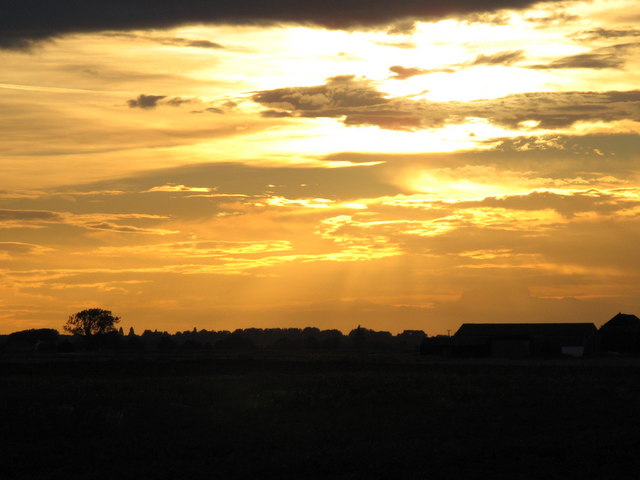
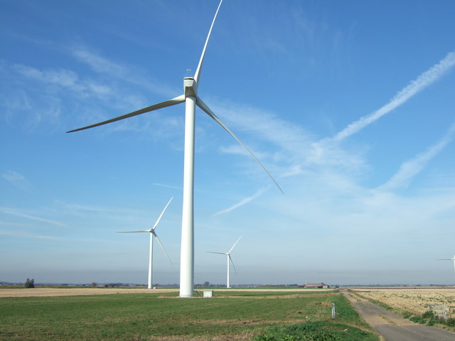
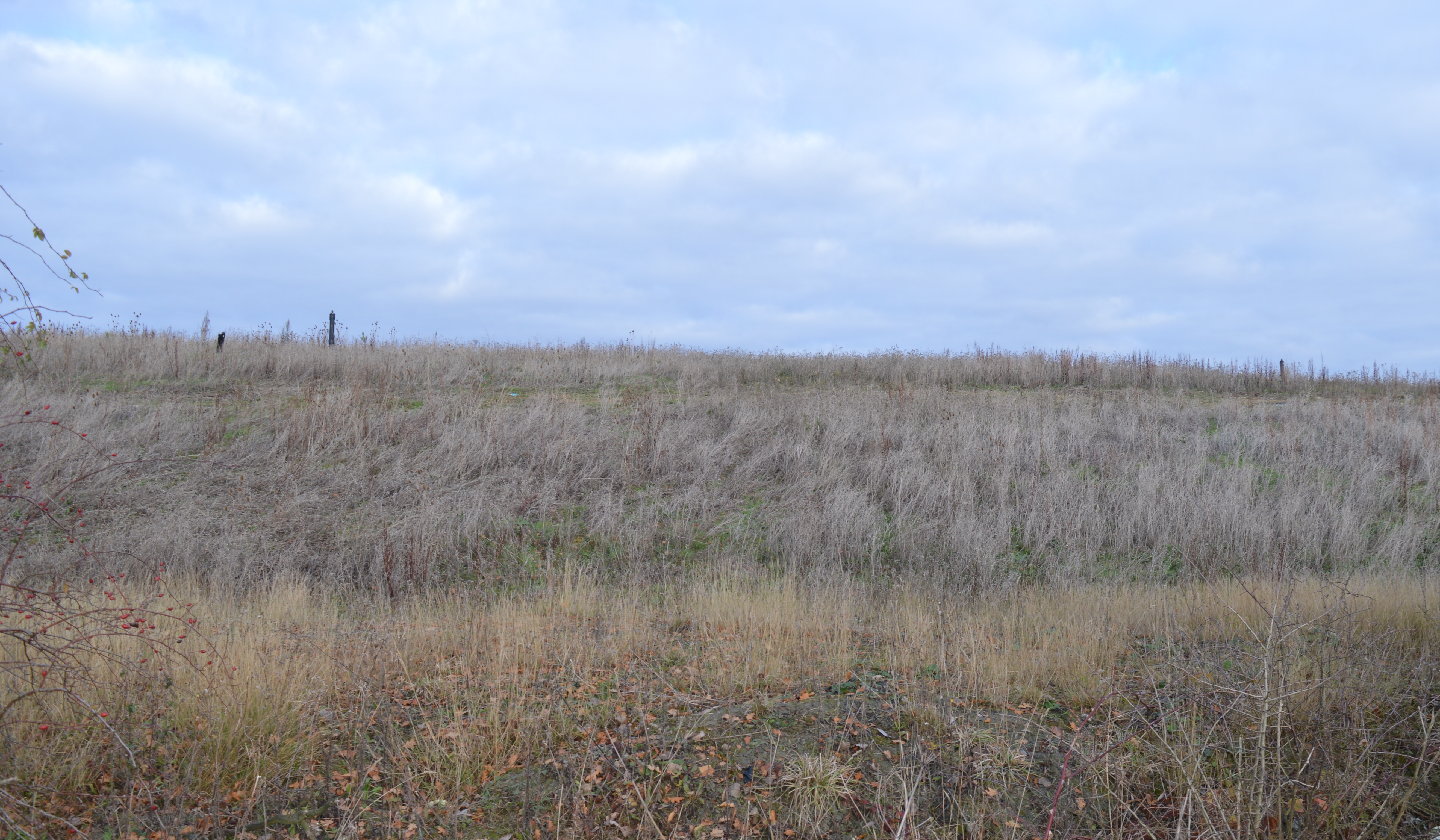
Warboys High Fen Images
Images are sourced within 2km of 52.428046/-0.011217672 or Grid Reference TL3582. Thanks to Geograph Open Source API. All images are credited.
Warboys High Fen is located at Grid Ref: TL3582 (Lat: 52.428046, Lng: -0.011217672)
Administrative County: Cambridgeshire
District: Huntingdonshire
Police Authority: Cambridgeshire
What 3 Words
///glad.pacemaker.signs. Near Somersham, Cambridgeshire
Nearby Locations
Related Wikis

Chatteris Town F.C.
Chatteris Town Football Club is a football club based in Chatteris, Cambridgeshire, England. They are currently members of the Peterborough & District...
Pingle Cutting
Pingle Cutting is a 1.0-hectare (2.5-acre) nature reserve north of Warboys in Cambridgeshire. It is managed by the Wildlife Trust for Bedfordshire, Cambridgeshire...
Warboys railway station
Warboys railway station was a railway station in Warboys, Cambridgeshire, which opened in 1889 and closed completely in 1964. == References == == External... ==

Chatteris railway station
Chatteris railway station was a station in Chatteris, Cambridgeshire on the line between St Ives and March. For much of its history it was run by the Great...
Warboys Clay Pit
Warboys Clay Pit is a 12.6-hectare (31-acre) geological Site of Special Scientific Interest west of Warboys in Cambridgeshire. It is a Geological Conservation...

Chatteris Abbey
Chatteris Abbey in Chatteris in the Isle of Ely, Cambridgeshire was founded as a monastery for Benedictine nuns in 1016 by Ednoth, Bishop of Dorchester...
Cromwell Community College
Cromwell Community College is a coeducational all-through school and sixth form located in Chatteris, Cambridgeshire, England. == History == Cromwell...
Somersham Local Nature Reserve
Somersham Local Nature Reserve is an 8.9 hectare Local Nature Reserve in Somersham in Cambridgeshire. It is owned and managed by Cambridgeshire County...
Nearby Amenities
Located within 500m of 52.428046,-0.011217672Have you been to Warboys High Fen?
Leave your review of Warboys High Fen below (or comments, questions and feedback).