Benwick Mere

Downs, Moorland in Cambridgeshire Fenland

England

Benwick Mere

Betty's Nose pumping station Situated on the 40ft bank near Chatteris
Betty's Nose pumping station Credit: Tony Bennett

Benwick Mere is a picturesque village located in the county of Cambridgeshire, England. Situated on the eastern edge of the Cambridgeshire Fens, it offers stunning views of the surrounding Downs and Moorland. The village is known for its serene and tranquil setting, making it a popular destination for nature lovers and outdoor enthusiasts.

Benwick Mere is home to a beautiful lake, also known as Benwick Mere, which serves as the centerpiece of the village. The lake covers an area of approximately 10 hectares and is surrounded by lush greenery, attracting a wide variety of bird species throughout the year. Birdwatchers often visit the area to catch a glimpse of rare and migratory birds that make their way to the lake.

The village itself is small, with a close-knit community that prides itself on its friendly and welcoming atmosphere. It offers a range of amenities including a local pub, a village hall, and a primary school. The surrounding area is characterized by open fields, meadows, and patches of woodland, providing ample opportunities for walking, cycling, and other outdoor activities.

Benwick Mere is also conveniently located within easy reach of larger towns and cities such as Peterborough and Cambridge. This allows residents to enjoy the tranquility of village life while having access to a wider range of services and amenities.

Overall, Benwick Mere in Cambridgeshire offers a peaceful and idyllic setting with its stunning natural landscapes, making it a perfect destination for those seeking a retreat from the hustle and bustle of city life.

If you have any feedback on the listing, please let us know in the comments section below.
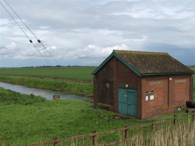
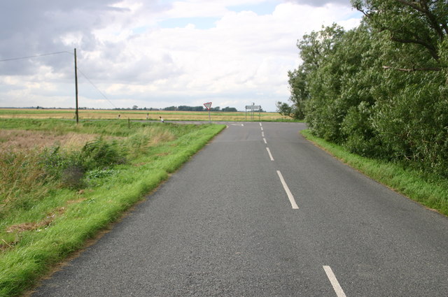
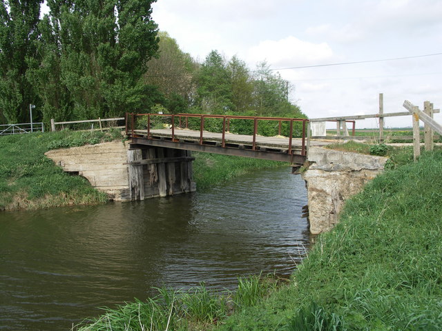
Benwick Mere Images

Images are sourced within 2km of 52.482205/-0.023812026 or Grid Reference TL3488. Thanks to Geograph Open Source API. All images are credited.

Betty's Nose pumping station Situated on the 40ft bank near Chatteris
Betty's Nose pumping station
Situated on the 40ft bank near Chatteris
Looking past Benwick pumping station to Bank farm Looking past Benwick pumping station to Bank farm
Looking past Benwick pumping station to Bank farm
Puddock Road with the white bridge leading to Morley's Farm
Ibberson's Drove down to Betty's Nose farm Ibberson's Drove down to Betty's Nose farm
Ibberson's Drove down to Betty's Nose farm
Ibberson's Drove junction with B1096 Ibberson's Drove junction with B1096
Ibberson's Drove junction with B1096
Roadside farm on the B1096 Roadside farm on the B1096
Roadside farm on the B1096
Ploughing south of Benwick, Cambs The scene is viewed from the B1096, Ramsey Road; the soils have a dark humose surface after wastage of the former peat cover, and are classed as Downholland series, 'humic alluvial gley soils' developed in Fen Clay. The wheat harvest continues to the left and in the distance the drain is being mown.
Ploughing south of Benwick, Cambs
The scene is viewed from the B1096, Ramsey Road; the soils have a dark humose surface after wastage of the former peat cover, and are classed as Downholland series, 'humic alluvial gley soils' developed in Fen Clay. The wheat harvest continues to the left and in the distance the drain is being mown.
Road towards Marley Farm
Puddock Bridge This bridge over the Forty Foot Drain carries a minor road which goes to Warboys.
Puddock Bridge
This bridge over the Forty Foot Drain carries a minor road which goes to Warboys.
Puddock Pumping Station This pumping station controls water levels between the Forty Foot Drain, which is out of view on the far side of the buildings, and this smaller drain.
Puddock Pumping Station
This pumping station controls water levels between the Forty Foot Drain, which is out of view on the far side of the buildings, and this smaller drain.
Forty Foot Drain This major drain, otherwise known by its constructor - Vermuyden's Drain - was created in the mid-1600s. To the right of the Pump House (red brick) is a Bailey Bridge.
Forty Foot Drain
This major drain, otherwise known by its constructor - Vermuyden's Drain - was created in the mid-1600s. To the right of the Pump House (red brick) is a Bailey Bridge.
Fenland Drain Taken from the south east corner of TL3289
Fenland Drain
Taken from the south east corner of TL3289
Footpath to Households Farm Recently cut grass footpath to Households Farm
Footpath to Households Farm
Recently cut grass footpath to Households Farm
Great Lots Road track Great Lots Road track heading South from Benwick
Great Lots Road track
Great Lots Road track heading South from Benwick
Over The Bridge Over the bridge, and on towards Morley's Farm.
Over The Bridge
Over the bridge, and on towards Morley's Farm.
Puddock Road Looking southwest along Puddock Road, from the entrance to Morley's Farm.
Puddock Road
Looking southwest along Puddock Road, from the entrance to Morley's Farm.
Farmland on Tick Fen Taking a cross country short cut along Puddock Road through Tick Fen between Ramsey and Chatteris I was lucky enough to come across this swan and two cygnets
Farmland on Tick Fen
Taking a cross country short cut along Puddock Road through Tick Fen between Ramsey and Chatteris I was lucky enough to come across this swan and two cygnets
Pumping station south of Benwick According to the notice on the wall this belongs to Benwick Internal Drainage Board and is known as Ibberson's Pumping Station. Close to Puddock Bridge it pumps water from the low lying fenland of Benwick Mere into the Forty Foot Drain also known as Vermuden's Drain
Pumping station south of Benwick
According to the notice on the wall this belongs to Benwick Internal Drainage Board and is known as Ibberson's Pumping Station. Close to Puddock Bridge it pumps water from the low lying fenland of Benwick Mere into the Forty Foot Drain also known as Vermuden's Drain
Show me another place!

Benwick Mere is located at Grid Ref: TL3488 (Lat: 52.482205, Lng: -0.023812026)

Division: Isle of Ely

Administrative County: Cambridgeshire

District: Fenland

Police Authority: Cambridgeshire

What 3 Words

///domain.scanning.attic. Near Doddington, Cambridgeshire

Nearby Locations

Benwick Mere

Related Wikis

Benwick

Benwick is a village and civil parish in the Fenland district of Cambridgeshire, England. It is approximately 15 miles (24 km) from Peterborough and 30...

Swingbrow

Swingbrow (sometimes written Swing Brow) is a hamlet near to Chatteris , Cambridgeshire lying alongside the Forty Foot Drain built by Vermuyden. A Neolithic...

Ramsey Forty Foot

Ramsey Forty Foot is a village in Ramsey civil parish, part of the Huntingdonshire district of Cambridgeshire, England. It lies on the Forty Foot Drain...

Forty Foot Drain

The Forty Foot or Forty Foot Drain is a name given to several of the principal channels in the drainage schemes of the Fens of Eastern England, the name...

Flood's Ferry

Flood's Ferry and Knight's End are hamlets between Benwick and March, Cambridgeshire, England. Flood's Ferry is the site of a large marina on the old course...

Chatteris railway station

Chatteris railway station was a station in Chatteris, Cambridgeshire on the line between St Ives and March. For much of its history it was run by the Great...

Chatteris Town F.C.

Chatteris Town Football Club is a football club based in Chatteris, Cambridgeshire, England. They are currently members of the Peterborough & District...

Ramsey Mereside

Ramsey Mereside, known colloquially as "The Village", is a small village approximately 3.5 miles (5.6 km) north of the town of Ramsey, Cambridgeshire...

Nearby Amenities

Located within 500m of 52.482205,-0.023812026
Power: pole
Lat/Long: 52.4802172/-0.0294909
Power: pole
Lat/Long: 52.4804592/-0.030517
Power: pole
Lat/Long: 52.4809457/-0.028866
Power: pole
Lat/Long: 52.4822917/-0.0277072
Power: pole
Lat/Long: 52.4836892/-0.0264829
Power: pole
Lat/Long: 52.4865303/-0.0241025
Power: pole
Lat/Long: 52.4858082/-0.0247087
Power: pole
Lat/Long: 52.4844003/-0.0259317
Power: pole
Lat/Long: 52.4800096/-0.0285657
Power: pole
Lat/Long: 52.4786046/-0.0281526
Power: pole
Lat/Long: 52.4851222/-0.0253148
Power: pole
Lat/Long: 52.4793925/-0.0284141
Power: pole
Lat/Long: 52.4801893/-0.0286193
Power: pole
Lat/Long: 52.4816171/-0.0282973
Power: pole
Lat/Long: 52.4830009/-0.0270999
Place: farm
Lat/Long: 52.482674/-0.0294055
The data included in this document is from www.openstreetmap.org. The data is made available under ODbL.

Have you been to Benwick Mere?

Leave your review of Benwick Mere below (or comments, questions and feedback).