Sutton St Edmund's Common

Downs, Moorland in Lincolnshire Fenland

England

Sutton St Edmund's Common

Gedney Hill Station The building is on the grand scale, and has been converted with a real feel for the original use. The platform is intact, and just across the road is the old signal box which is, alas, in a bad state. The full station name was French Drove and Gedney Hill.
Gedney Hill Station Credit: David Prestidge

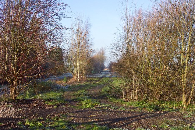
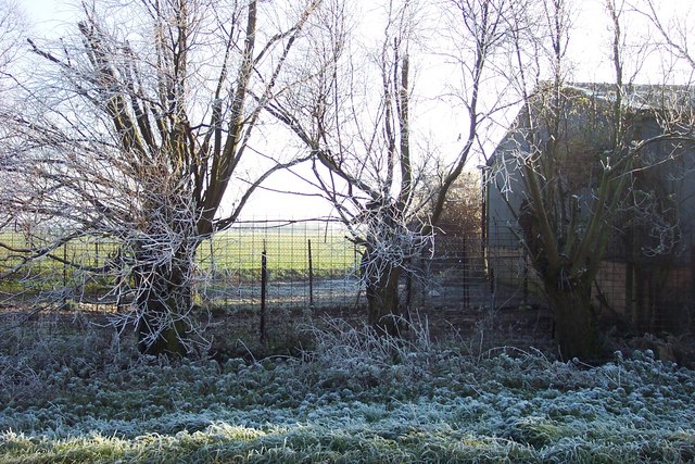
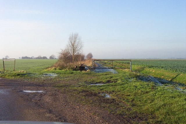
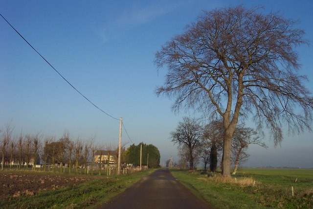
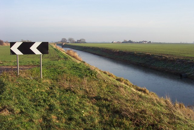
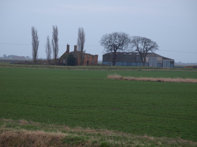
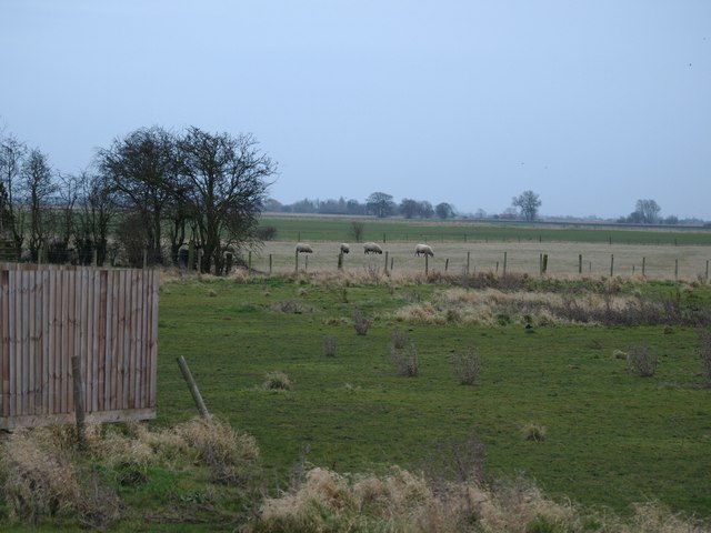
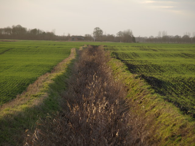
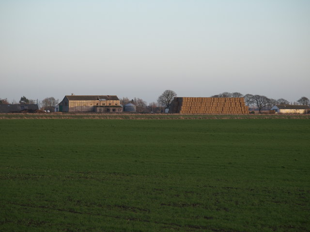
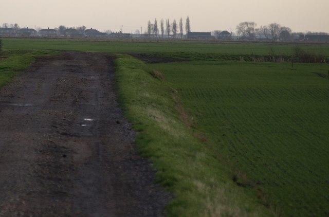
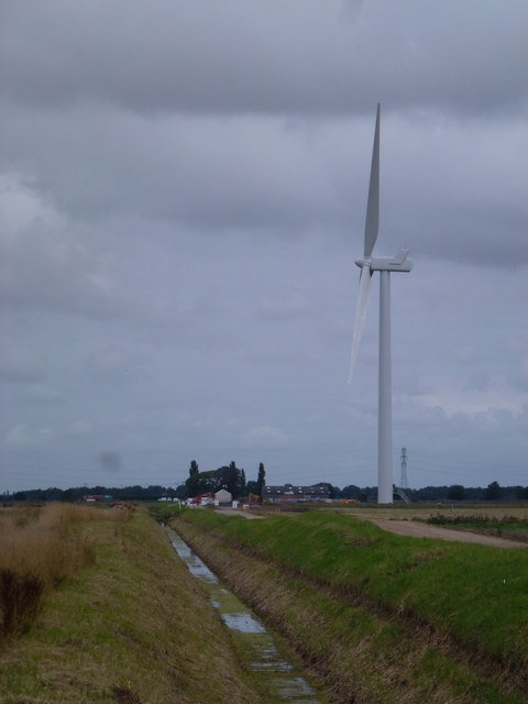
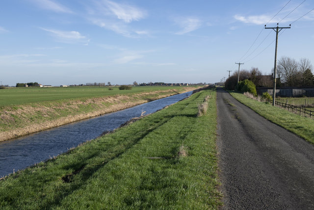
Sutton St Edmund's Common, located in Lincolnshire, England, is a vast expanse of natural beauty that encompasses both downs and moorland landscapes. Spanning over several hundred acres, this common is a haven for wildlife and a popular destination for outdoor enthusiasts.

The common's downs, characterized by their rolling hills and open grasslands, provide breathtaking views of the surrounding countryside. These areas are covered in a patchwork of wildflowers, including vibrant purple heather and yellow gorse, creating a picturesque scene during the summer months. The downs also offer ample walking and hiking opportunities, with well-maintained trails crisscrossing the area.

In contrast, the moorland sections of Sutton St Edmund's Common are home to a diverse range of flora and fauna. Here, visitors can find dense patches of heathland, interspersed with scattered trees and shrubs. The moorland is particularly known for its impressive bird population, attracting birdwatchers from far and wide. Species such as the Eurasian curlew, lapwing, and redshank can often be spotted in the area.

Sutton St Edmund's Common is managed by a local conservation organization, which works tirelessly to protect its natural habitats and encourage biodiversity. As a result, the common has become an important site for nature conservation, supporting a variety of rare and endangered species.

Overall, Sutton St Edmund's Common is a unique and ecologically significant area, offering visitors the chance to immerse themselves in the beauty of the downs and moorland landscapes, while also providing a vital habitat for wildlife.

If you have any feedback on the listing, please let us know in the comments section below.

Sutton St Edmund's Common Images

Images are sourced within 2km of 52.655615/-0.016029448 or Grid Reference TF3408. Thanks to Geograph Open Source API. All images are credited.

Gedney Hill Station The building is on the grand scale, and has been converted with a real feel for the original use. The platform is intact, and just across the road is the old signal box which is, alas, in a bad state. The full station name was French Drove and Gedney Hill.
Gedney Hill Station
The building is on the grand scale, and has been converted with a real feel for the original use. The platform is intact, and just across the road is the old signal box which is, alas, in a bad state. The full station name was French Drove and Gedney Hill.
Line of old railway off Long Drove
The back of Swan Bridge Farm
Stables opposite Poplar Tree Farm
Track leading off Johnson's Drove
Approaching Inkley's Farm On Hall Gate Road; one of the many parallel roads in this area of south Lincolnshire. These droves are perfectly straight and run alongside the dikes originally put in to drain the fens.
Approaching Inkley's Farm
On Hall Gate Road; one of the many parallel roads in this area of south Lincolnshire. These droves are perfectly straight and run alongside the dikes originally put in to drain the fens.
Simple cottage at Lutton Gate Farm
The New South Eau This picture is at the meeting of three old county boundaries. 
Behind the sign to the left is Lincolnshire, to the right of the river is Cambridgeshire, and the sign and foreground is in the old county of Huntingdonshire. This latter is now the Unitary Authority of the City of Peterborough.
The New South Eau
This picture is at the meeting of three old county boundaries. Behind the sign to the left is Lincolnshire, to the right of the river is Cambridgeshire, and the sign and foreground is in the old county of Huntingdonshire. This latter is now the Unitary Authority of the City of Peterborough.
A Farm Called Malice Malice Farm taken from French Drove
A Farm Called Malice
Malice Farm taken from French Drove
Fenland Sheep Sheep in a field at Allen's Bridge Farm.
Fenland Sheep
Sheep in a field at Allen's Bridge Farm.
Overgrown dyke Taken from Common Road Sutton St. Edmunds Common.
Overgrown dyke
Taken from Common Road Sutton St. Edmunds Common.
Strawstack at Dearloves Farm It's more likely to be a strawstack than a haystack.
Strawstack at Dearloves Farm
It's more likely to be a strawstack than a haystack.
Fenland Track Shows how the fields shrink and get lower whilst the road gets built up higher over the years.
Fenland Track
Shows how the fields shrink and get lower whilst the road gets built up higher over the years.
Wryde Croft Wind Farm under construction - Photo 8 Wryde Croft Wind Farm is a 13 turbine project situated north west of Thorney Toll and is visible from the A47.

Currently under construction, it is a combination of two previously consented projects: RES' six turbine scheme called Wryde Croft and Blue Energy's seven turbine Nutsgrove scheme, formerly owned by RidgeWind. Both projects were approved in April 2010 and are being constructed as a single 13 turbine scheme by RES. See <span class="nowrap"><a title="http://www.wrydecroft-windfarm.co.uk/about-the-project/project-summary/" rel="nofollow ugc noopener" href="http://www.wrydecroft-windfarm.co.uk/about-the-project/project-summary/">Link</a><img style="margin-left:2px;" alt="External link" title="External link - shift click to open in new window" src="https://s1.geograph.org.uk/img/external.png" width="10" height="10"/></span> for more information
Wryde Croft Wind Farm under construction - Photo 8
Wryde Croft Wind Farm is a 13 turbine project situated north west of Thorney Toll and is visible from the A47. Currently under construction, it is a combination of two previously consented projects: RES' six turbine scheme called Wryde Croft and Blue Energy's seven turbine Nutsgrove scheme, formerly owned by RidgeWind. Both projects were approved in April 2010 and are being constructed as a single 13 turbine scheme by RES. See LinkExternal link for more information
Wryde Croft Wind Farm under construction - Photo 9 Wryde Croft Wind Farm is a 13 turbine project situated north west of Thorney Toll and is visible from the A47.

Currently under construction, it is a combination of two previously consented projects: RES' six turbine scheme called Wryde Croft and Blue Energy's seven turbine Nutsgrove scheme, formerly owned by RidgeWind. Both projects were approved in April 2010 and are being constructed as a single 13 turbine scheme by RES See <span class="nowrap"><a title="http://www.wrydecroft-windfarm.co.uk/about-the-project/project-summary/" rel="nofollow ugc noopener" href="http://www.wrydecroft-windfarm.co.uk/about-the-project/project-summary/">Link</a><img style="margin-left:2px;" alt="External link" title="External link - shift click to open in new window" src="https://s1.geograph.org.uk/img/external.png" width="10" height="10"/></span> for more details
Wryde Croft Wind Farm under construction - Photo 9
Wryde Croft Wind Farm is a 13 turbine project situated north west of Thorney Toll and is visible from the A47. Currently under construction, it is a combination of two previously consented projects: RES' six turbine scheme called Wryde Croft and Blue Energy's seven turbine Nutsgrove scheme, formerly owned by RidgeWind. Both projects were approved in April 2010 and are being constructed as a single 13 turbine scheme by RES See LinkExternal link for more details
Wryde Croft Wind Farm under construction - Photo 10 Wryde Croft Wind Farm is a 13 turbine project situated north west of Thorney Toll and is visible from the A47.

Currently under construction, it is a combination of two previously consented projects: RES' six turbine scheme called Wryde Croft and Blue Energy's seven turbine Nutsgrove scheme, formerly owned by RidgeWind. Both projects were approved in April 2010 and are being constructed as a single 13 turbine scheme by RES. See <span class="nowrap"><a title="http://www.wrydecroft-windfarm.co.uk/about-the-project/project-summary/" rel="nofollow ugc noopener" href="http://www.wrydecroft-windfarm.co.uk/about-the-project/project-summary/">Link</a><img style="margin-left:2px;" alt="External link" title="External link - shift click to open in new window" src="https://s1.geograph.org.uk/img/external.png" width="10" height="10"/></span> for more details
Wryde Croft Wind Farm under construction - Photo 10
Wryde Croft Wind Farm is a 13 turbine project situated north west of Thorney Toll and is visible from the A47. Currently under construction, it is a combination of two previously consented projects: RES' six turbine scheme called Wryde Croft and Blue Energy's seven turbine Nutsgrove scheme, formerly owned by RidgeWind. Both projects were approved in April 2010 and are being constructed as a single 13 turbine scheme by RES. See LinkExternal link for more details
Wryde Croft Wind Farm under construction - Photo 11 Wryde Croft Wind Farm is a 13 turbine project situated north west of Thorney Toll and is visible from the A47.

Currently under construction, it is a combination of two previously consented projects: RES' six turbine scheme called Wryde Croft and Blue Energy's seven turbine Nutsgrove scheme, formerly owned by RidgeWind. Both projects were approved in April 2010 and are being constructed as a single 13 turbine scheme by RES. See <span class="nowrap"><a title="http://www.wrydecroft-windfarm.co.uk/about-the-project/project-summary/" rel="nofollow ugc noopener" href="http://www.wrydecroft-windfarm.co.uk/about-the-project/project-summary/">Link</a><img style="margin-left:2px;" alt="External link" title="External link - shift click to open in new window" src="https://s1.geograph.org.uk/img/external.png" width="10" height="10"/></span> for more details
Wryde Croft Wind Farm under construction - Photo 11
Wryde Croft Wind Farm is a 13 turbine project situated north west of Thorney Toll and is visible from the A47. Currently under construction, it is a combination of two previously consented projects: RES' six turbine scheme called Wryde Croft and Blue Energy's seven turbine Nutsgrove scheme, formerly owned by RidgeWind. Both projects were approved in April 2010 and are being constructed as a single 13 turbine scheme by RES. See LinkExternal link for more details
New South Eau Looking East along the New South Eau towards Throckenholt
New South Eau
Looking East along the New South Eau towards Throckenholt
Show me another place!

Sutton St Edmund's Common is located at Grid Ref: TF3408 (Lat: 52.655615, Lng: -0.016029448)

Administrative County: Cambridgeshire

District: Fenland

Police Authority: Cambridgeshire

What 3 Words

///remotes.decanter.foremost. Near Gedney Hill, Lincolnshire

Nearby Locations

Sutton St Edmund's Common

Related Wikis

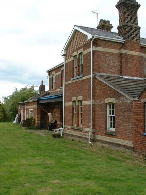
French Drove and Gedney Hill railway station

French Drove and Gedney Hill was a station on the Great Northern and Great Eastern Joint Railway near Gedney Hill in south Lincolnshire on the line between...

The Museum of Technology

The Museum of Technology the History of Gadgets and Gizmos (formerly The Museum of Technology, The Great War and WWII) is a technology museum in Throckenholt...

Throckenholt

Throckenholt is a village in the civil parish of Sutton St Edmund (where the population is listed) in the South Holland district of Lincolnshire, England...

Gedney Hill

Gedney Hill is a village and civil parish in South Holland district of Lincolnshire, England. The population of the civil parish at the 2011 census was...

Parson Drove

Parson Drove is a fen village in the Isle of Ely, Cambridgeshire, England. A linear settlement, it is 6 miles (10 km) west of Wisbech, the nearest town...

Murrow West railway station

Murrow West railway station was a station on the Great Northern and Great Eastern Joint Railway in Murrow, Cambridgeshire between Spalding, England, and...

FC Parson Drove

Football Club Parson Drove is a football club based in Parson Drove, Cambridgeshire, England. They are currently members of the Eastern Counties League...

Murrow East railway station

Murrow East railway station was a station in Murrow, Cambridgeshire. It was on the Midland and Great Northern Joint Railway line between Wisbech and Peterborough...

Nearby Amenities

Located within 500m of 52.655615,-0.016029448
Sutton St Edmund's Common
Place: locality
Source: Bing
Lat/Long: 52.6588903/-0.0168188
The Barn
Place: farm
Source: Bing
Lat/Long: 52.6572853/-0.0225804
The data included in this document is from www.openstreetmap.org. The data is made available under ODbL.

Have you been to Sutton St Edmund's Common?

Leave your review of Sutton St Edmund's Common below (or comments, questions and feedback).