Churchfield Common
Downs, Moorland in Hertfordshire East Hertfordshire
England
Churchfield Common

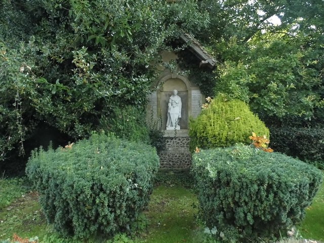
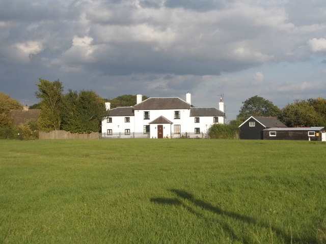
Churchfield Common is a picturesque area located in Hertfordshire, known for its vast expanses of downs and moorland. The common covers approximately 50 acres of land and is a popular destination for nature lovers and outdoor enthusiasts.
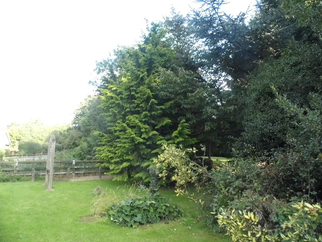
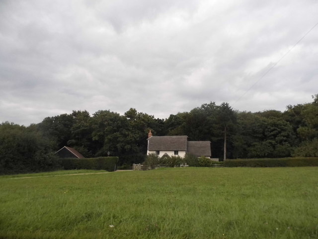
The common is home to a diverse range of plant and animal species, including wildflowers, butterflies, and birds. Visitors can enjoy leisurely walks along the well-marked trails that wind through the open grasslands and wooded areas, providing stunning views of the surrounding countryside.
Churchfield Common also boasts a rich history, with evidence of human habitation dating back to the Iron Age. The area has several ancient burial mounds and earthworks, adding to its cultural significance.
In addition to its natural beauty, the common offers various recreational activities such as picnicking, birdwatching, and horseback riding. It is a peaceful and tranquil retreat from the hustle and bustle of city life, making it a perfect spot for relaxation and rejuvenation.
If you have any feedback on the listing, please let us know in the comments section below.
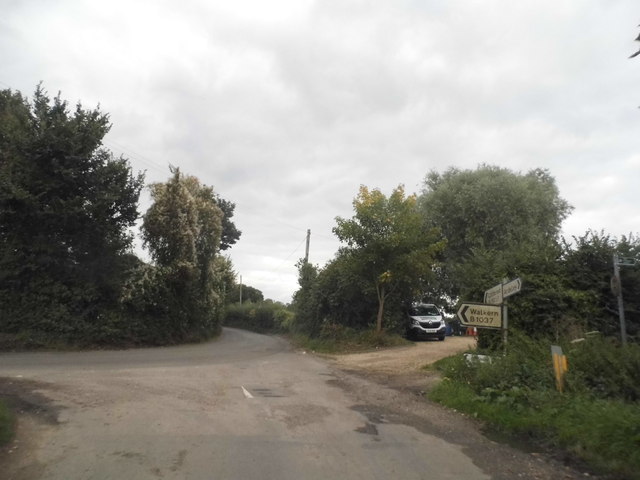
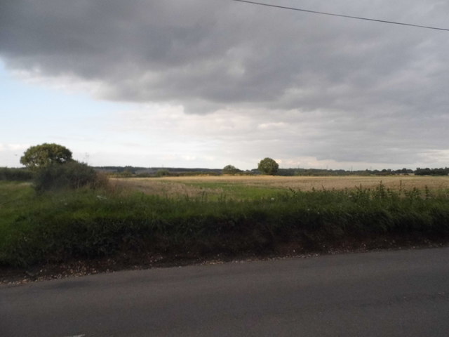
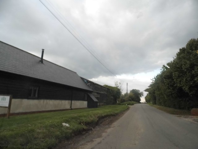
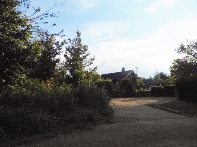
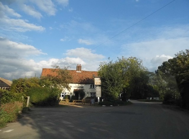
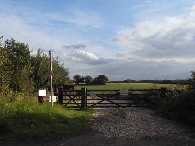
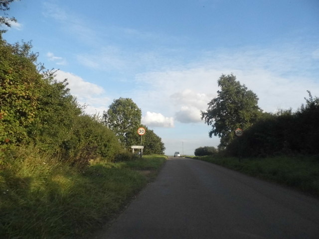
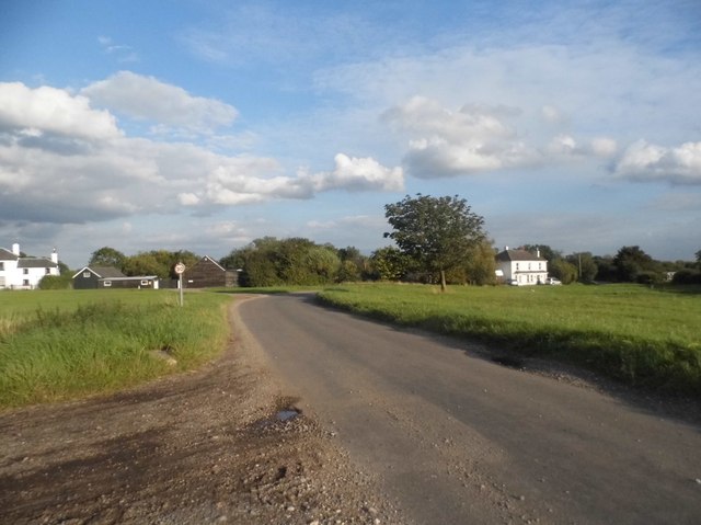
Churchfield Common Images
Images are sourced within 2km of 51.932818/-0.096714542 or Grid Reference TL3027. Thanks to Geograph Open Source API. All images are credited.


Churchfield Common is located at Grid Ref: TL3027 (Lat: 51.932818, Lng: -0.096714542)
Administrative County: Hertfordshire
District: East Hertfordshire
Police Authority: Hertfordshire
What 3 Words
///tragedy.disco.soonest. Near Walkern, Hertfordshire
Nearby Locations
Related Wikis

Ardeley
Ardeley is a small village and civil parish in East Hertfordshire, England. The parish includes the hamlet of Cromer, as well as Wood End and Moor Green...
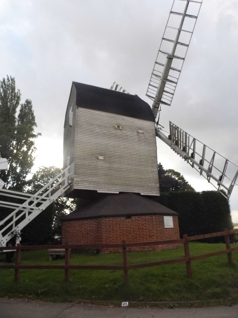
Cromer Windmill, Ardeley
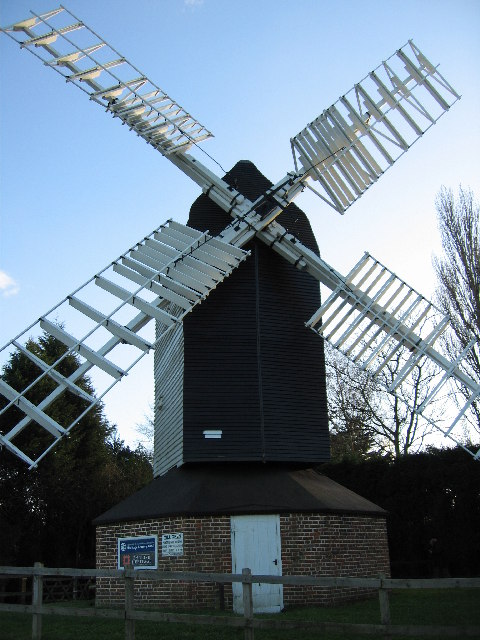
Cromer Windmill, restored in four stages between 1967 and 1998, is a Grade II* listed post mill at Cromer, Ardeley, Hertfordshire, England. == History... ==
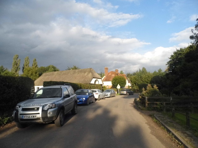
Cromer, Hertfordshire
Cromer is a hamlet in the civil parish of Ardeley, Hertfordshire, England. It is a small hamlet; however, it is noteworthy for possessing Hertfordshire...

Church of St Mary the Virgin, Walkern
The parish church of St Mary the Virgin in Walkern, Hertfordshire, dates from before the Norman Conquest and has been altered in the succeeding centuries...
Nearby Amenities
Located within 500m of 51.932818,-0.096714542Have you been to Churchfield Common?
Leave your review of Churchfield Common below (or comments, questions and feedback).