Markham's Wood
Wood, Forest in Hertfordshire East Hertfordshire
England
Markham's Wood
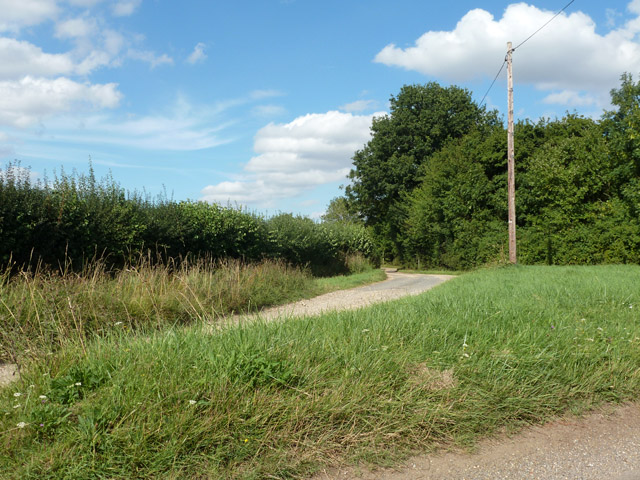
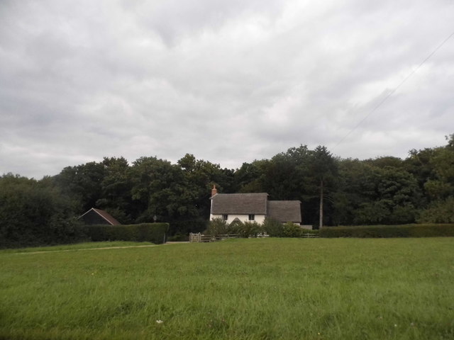
Markham's Wood is a picturesque forest located in the county of Hertfordshire, England. With an expansive area of lush greenery and diverse flora, it is a beloved natural attraction for locals and visitors alike. The wood is situated in close proximity to the village of Markham, which lends its name to this enchanting woodland.
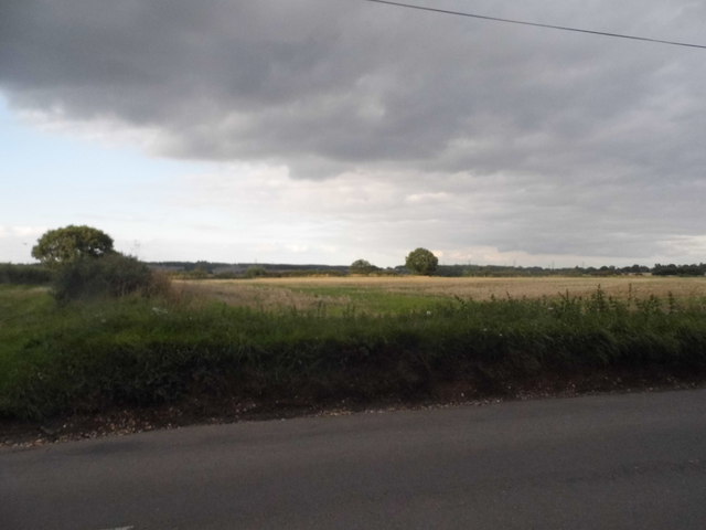
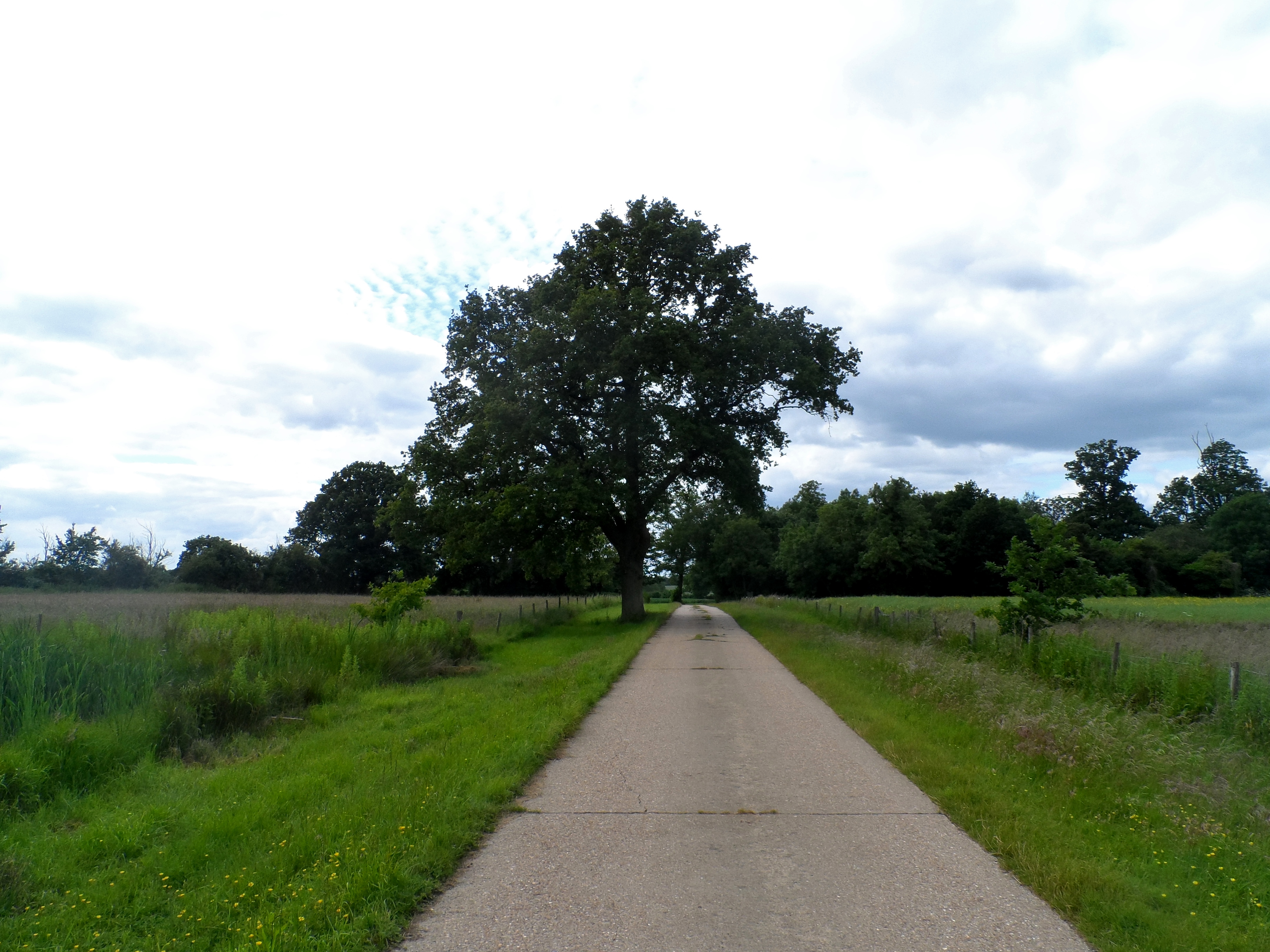
Covering an estimated area of several square kilometers, Markham's Wood is known for its dense canopy of trees, including oak, beech, and ash. These towering trees provide a cool and shaded environment, making it a popular spot for leisurely walks and nature enthusiasts. The forest floor is carpeted with a rich layer of vibrant wildflowers, creating a colorful tapestry that adds to the wood's charm.
The wood is home to a wide array of wildlife, including various species of birds, mammals, and insects. Birdwatchers can spot species such as blue tits, woodpeckers, and robins, while lucky visitors may catch a glimpse of red foxes, squirrels, or even deer. The peaceful atmosphere of the wood, coupled with the melodic sounds of birdsong, creates an idyllic setting for those seeking tranquility in nature.
For those interested in history, Markham's Wood has a notable past. It is believed to have been part of the ancient Forest of Middlesex, which once covered a significant portion of Hertfordshire. Remnants of this historical significance can still be seen in the wood, with the occasional moss-covered stone or fallen tree stump adding a touch of mystique to the surroundings.
Overall, Markham's Wood in Hertfordshire offers a scenic escape from the hustle and bustle of everyday life, providing a haven of natural beauty and tranquility for all who venture into its leafy embrace.
If you have any feedback on the listing, please let us know in the comments section below.
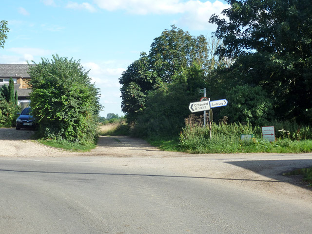
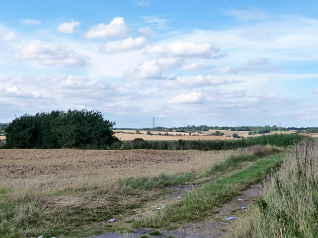
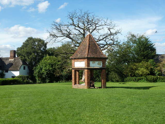
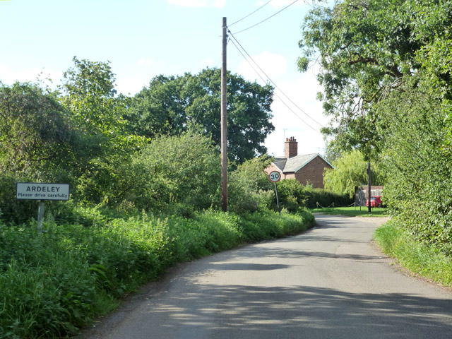
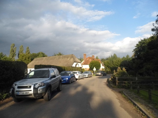
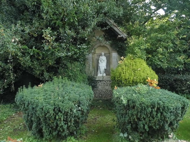
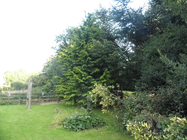
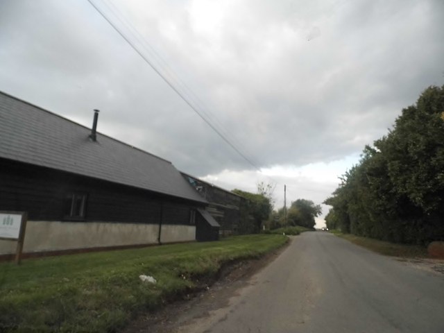
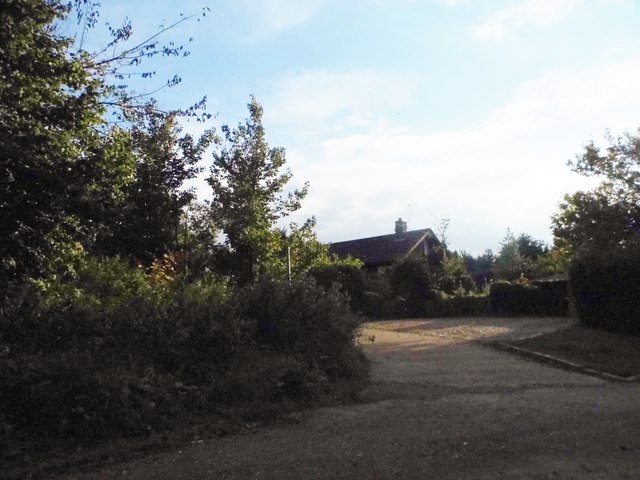
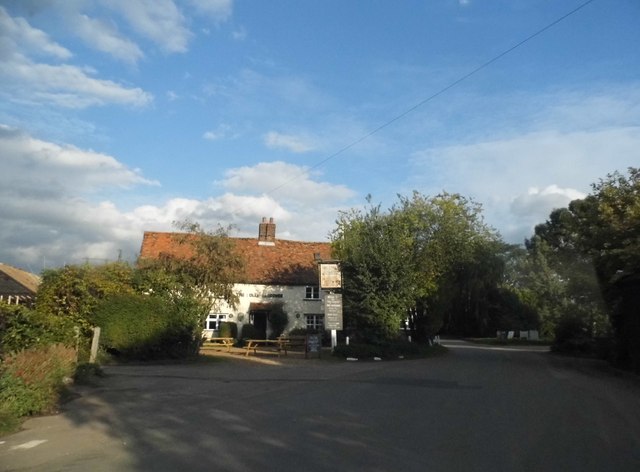
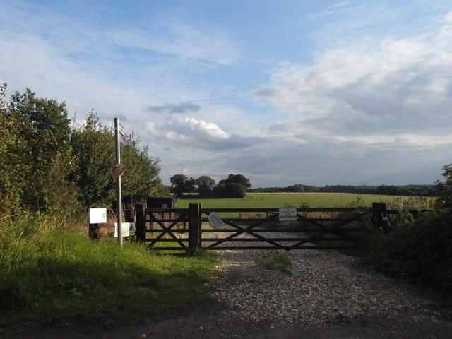
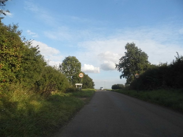
Markham's Wood Images
Images are sourced within 2km of 51.93149/-0.10357817 or Grid Reference TL3027. Thanks to Geograph Open Source API. All images are credited.

Markham's Wood is located at Grid Ref: TL3027 (Lat: 51.93149, Lng: -0.10357817)
Administrative County: Hertfordshire
District: East Hertfordshire
Police Authority: Hertfordshire
What 3 Words
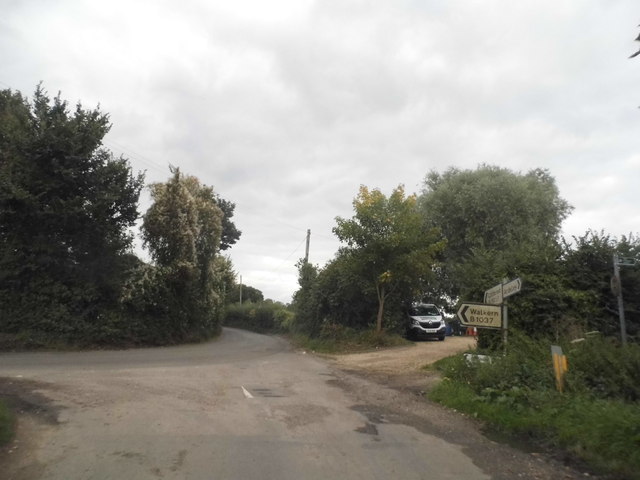
///radiating.subsets.winded. Near Walkern, Hertfordshire
Nearby Locations
Related Wikis

Ardeley
Ardeley is a small village and civil parish in East Hertfordshire, England. The parish includes the hamlet of Cromer, as well as Wood End and Moor Green...
Cromer, Hertfordshire
Cromer is a hamlet in the civil parish of Ardeley, Hertfordshire, England. It is a small hamlet; however, it is noteworthy for possessing Hertfordshire...
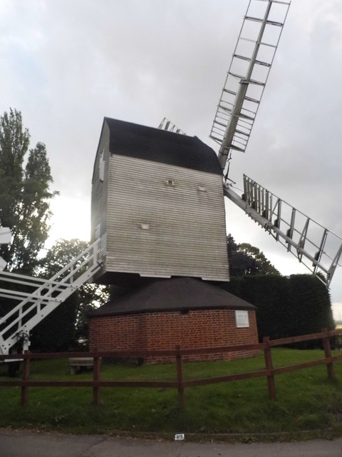
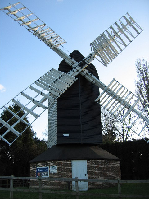
Cromer Windmill, Ardeley
Cromer Windmill, restored in four stages between 1967 and 1998, is a Grade II* listed post mill at Cromer, Ardeley, Hertfordshire, England. == History... ==

Church of St Mary the Virgin, Walkern
The parish church of St Mary the Virgin in Walkern, Hertfordshire, dates from before the Norman Conquest and has been altered in the succeeding centuries...
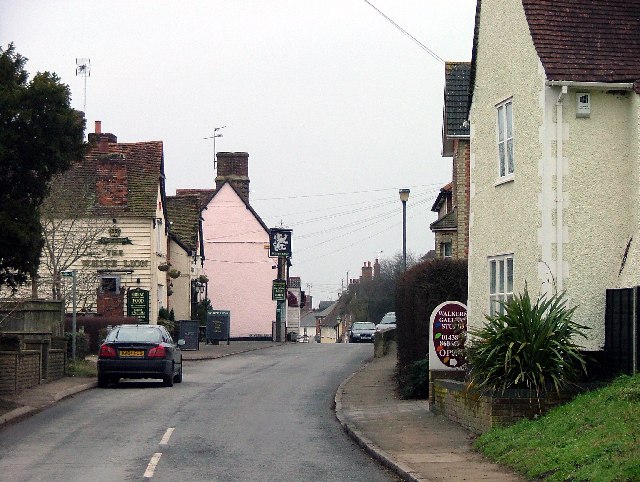
Walkern
Walkern is a village and civil parish in East Hertfordshire, England. It is about two miles (3 km) from Stevenage. The village has several shops, including...

Cottered
Cottered is a village and civil parish 3 miles (4.8 km) west of Buntingford and 6 miles (9.7 km) east of Baldock in the East Hertfordshire District of...

Moor Hall Meadows
Moor Hall Meadows is a 24.4-hectare (60-acre) biological Site of Special Scientific Interest in Moor Green in Hertfordshire. The local planning authority...
Wakeley, Hertfordshire
Wakeley is a hamlet and former civil parish 14 miles (23 km) from Hertford, now in the parish of Westmill, in the East Hertfordshire district, in the county...
Nearby Amenities
Located within 500m of 51.93149,-0.10357817Have you been to Markham's Wood?
Leave your review of Markham's Wood below (or comments, questions and feedback).