Burn's Green
Downs, Moorland in Hertfordshire East Hertfordshire
England
Burn's Green
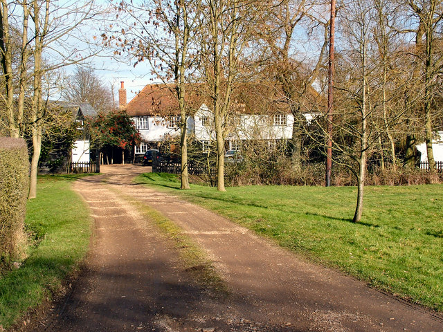
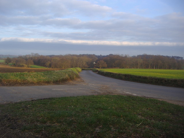
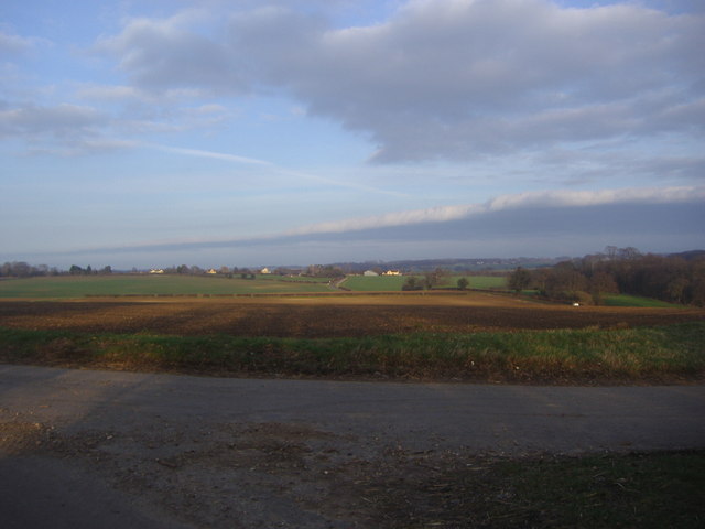
Burn's Green is a picturesque village located in Hertfordshire, England. Situated in the heart of the county, it is nestled amidst the stunning scenery of the Downs and Moorland. The village is known for its idyllic countryside, offering residents and visitors a tranquil and peaceful environment.
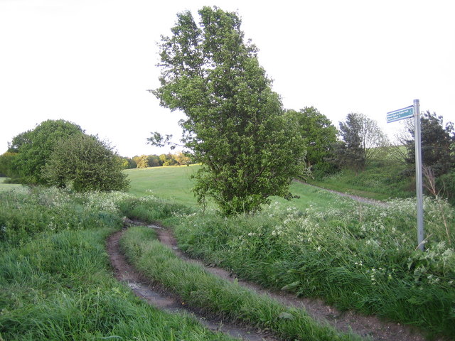
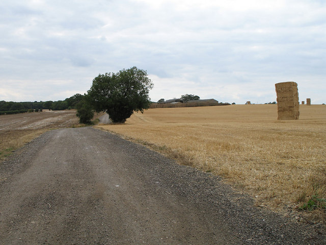
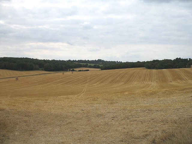
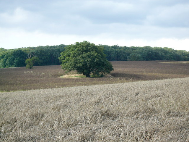
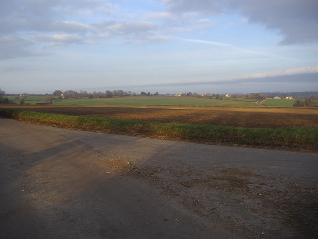
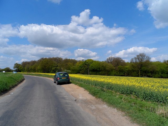
The Downs, which are a prominent feature of Burn's Green, are vast open spaces filled with rolling hills and breathtaking views. They provide ample opportunities for outdoor activities such as hiking, cycling, and horseback riding. The Downs are also home to a rich variety of flora and fauna, making it a popular destination for nature enthusiasts.
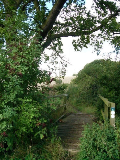
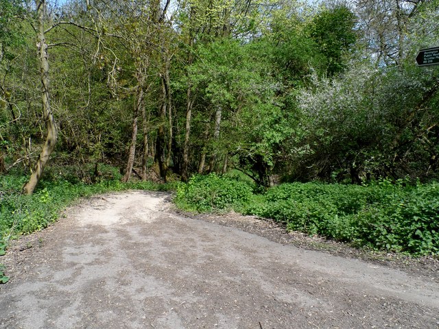
Adjacent to the Downs is the Moorland, characterized by its wild and rugged landscape. The Moorland is covered in heather and gorse, creating a stunning mosaic of colors throughout the year. It is a haven for wildlife, including various bird species and small mammals.
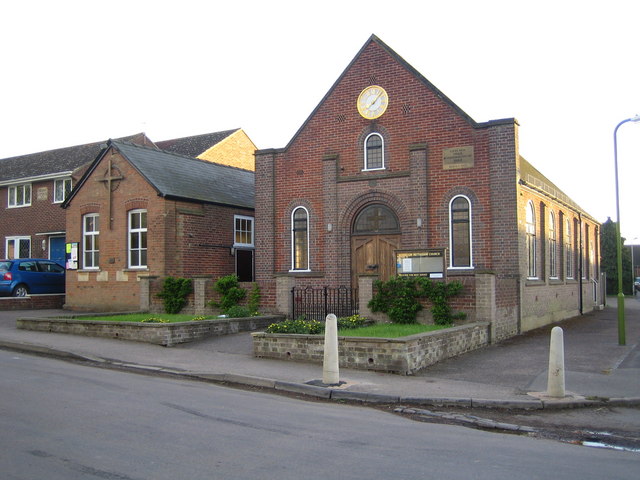
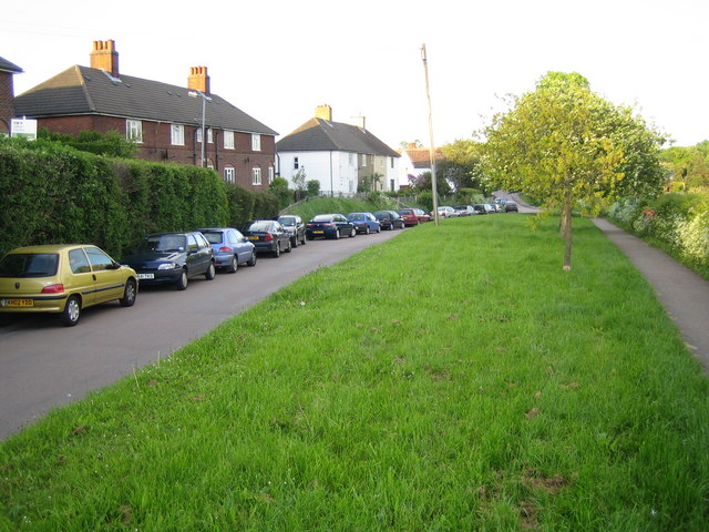
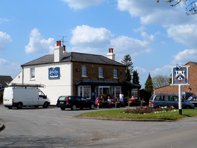
The village itself is small and close-knit, with a strong sense of community. It boasts a charming collection of traditional cottages and period houses, which add to the village's quaint and timeless appeal. Burn's Green has a local pub, a village hall, and a small convenience store, catering to the needs of its residents.
The village is conveniently located, with easy access to nearby towns and cities. The bustling market town of Hitchin is just a short drive away, offering a wide range of amenities, shops, and restaurants. The city of London is also easily reachable, making Burn's Green an attractive location for those looking for a peaceful rural lifestyle while still having access to urban amenities.
In summary, Burn's Green in Hertfordshire is a charming village surrounded by the stunning landscapes of the Downs and Moorland. With its tranquil atmosphere and strong community spirit, it offers residents a truly idyllic place to call home.
If you have any feedback on the listing, please let us know in the comments section below.
Burn's Green Images
Images are sourced within 2km of 51.885769/-0.10266972 or Grid Reference TL3022. Thanks to Geograph Open Source API. All images are credited.

Burn's Green is located at Grid Ref: TL3022 (Lat: 51.885769, Lng: -0.10266972)
Administrative County: Hertfordshire
District: East Hertfordshire
Police Authority: Hertfordshire
What 3 Words
///spearhead.slime.ruler. Near Watton at Stone, Hertfordshire
Nearby Locations
Related Wikis

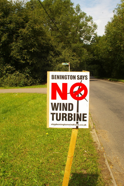
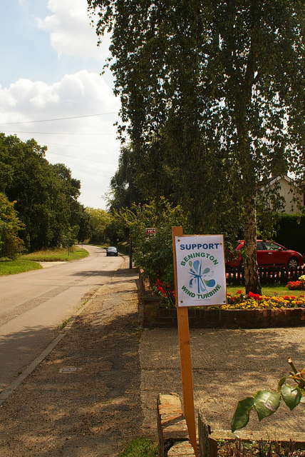
Benington, Hertfordshire
Benington is a village and civil parish in the East Hertfordshire district of Hertfordshire, England, about four miles east of Stevenage and 35 miles north...

Benington Castle
Benington Castle is a ruined castle in the village of Benington, near Stevenage in Hertfordshire, England at grid reference TL296236. It has been protected...

Benington High Wood
Benington High Wood is a 20.7-hectare (51-acre) biological Site of Special Scientific Interest in Benington, Hertfordshire. The planning authority is East...

Whempstead
Whempstead is a hamlet in the parish of Watton-at-Stone, situated north of Hertford and to the south-east of Stevenage in Hertfordshire, it is close to...
Nearby Amenities
Located within 500m of 51.885769,-0.10266972Have you been to Burn's Green?
Leave your review of Burn's Green below (or comments, questions and feedback).