Cabbage Green
Downs, Moorland in Hertfordshire East Hertfordshire
England
Cabbage Green
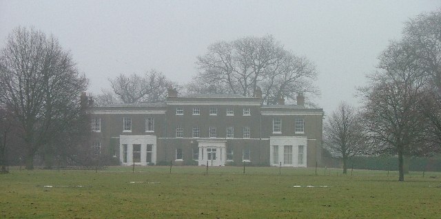
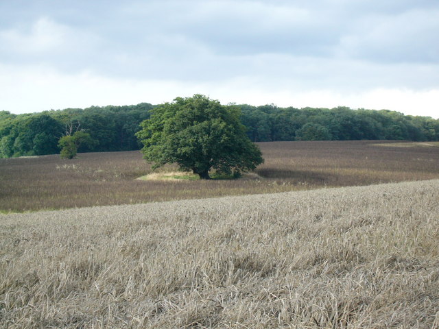
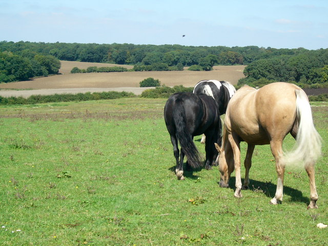
Cabbage Green is a picturesque area located in Hertfordshire, England. Situated amidst the stunning Downs and Moorland, it offers a serene and idyllic setting for residents and visitors alike. The region is known for its rolling green hills, lush meadows, and breathtaking views that stretch as far as the eye can see.
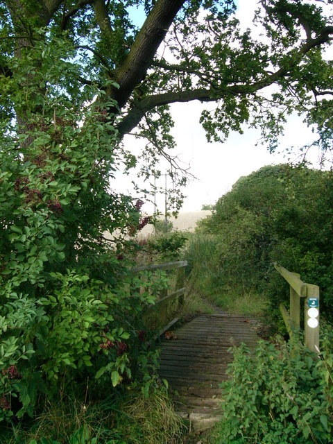
The Downs in Cabbage Green are characterized by their gently sloping hills, which are covered in vibrant green grass and dotted with wildflowers during the summer months. Hikers and nature enthusiasts can explore the numerous trails that crisscross the area, allowing them to immerse themselves in the beauty of the natural surroundings. The Downs also provide a haven for a variety of wildlife, including rabbits, foxes, and a wide range of bird species.
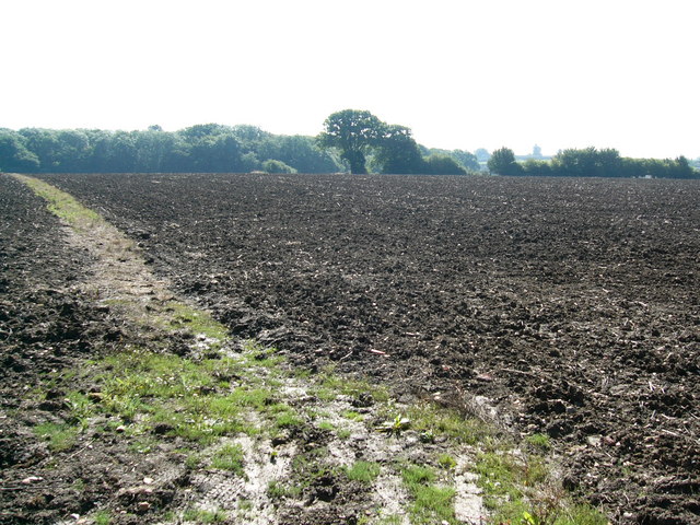
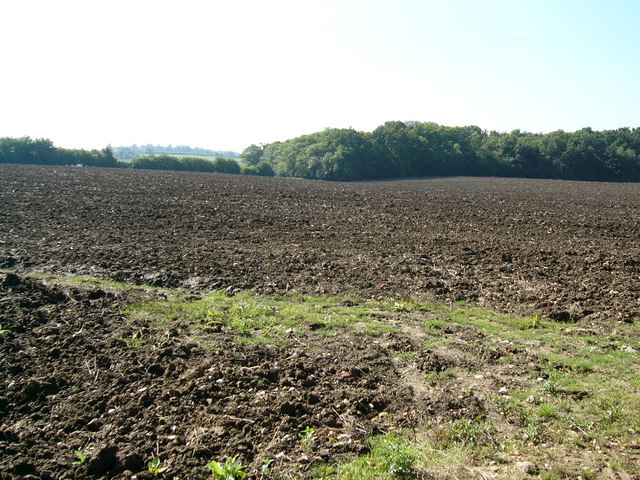
In contrast, the Moorland in Cabbage Green showcases a more rugged and untamed landscape. Here, visitors can witness the unique beauty of heather-covered hills and expansive open spaces. The Moorland is home to an array of wildlife, including deer and various bird species, making it a popular destination for birdwatchers and wildlife photographers.
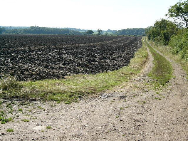
Cabbage Green offers a peaceful escape from the hustle and bustle of city life. Its unspoiled beauty and tranquil atmosphere make it an ideal location for those seeking solace in nature. Whether it's a leisurely stroll through the Downs or an adventurous hike across the Moorland, Cabbage Green is a nature lover's paradise.
If you have any feedback on the listing, please let us know in the comments section below.
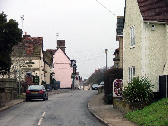
Cabbage Green Images
Images are sourced within 2km of 51.901638/-0.10646373 or Grid Reference TL3024. Thanks to Geograph Open Source API. All images are credited.


Cabbage Green is located at Grid Ref: TL3024 (Lat: 51.901638, Lng: -0.10646373)
Administrative County: Hertfordshire
District: East Hertfordshire
Police Authority: Hertfordshire
What 3 Words
///bleaching.scrapping.happily. Near Walkern, Hertfordshire
Nearby Locations
Related Wikis

Benington, Hertfordshire
Benington is a village and civil parish in the East Hertfordshire district of Hertfordshire, England, about four miles east of Stevenage and 35 miles north...

Benington Castle
Benington Castle is a ruined castle in the village of Benington, near Stevenage in Hertfordshire, England at grid reference TL296236. It has been protected...

Benington High Wood
Benington High Wood is a 20.7-hectare (51-acre) biological Site of Special Scientific Interest in Benington, Hertfordshire. The planning authority is East...

Church of St Mary the Virgin, Walkern
The parish church of St Mary the Virgin in Walkern, Hertfordshire, dates from before the Norman Conquest and has been altered in the succeeding centuries...
Walkern
Walkern is a village and civil parish in East Hertfordshire, England. It is about two miles (3 km) from Stevenage. The village has several shops, including...

Ardeley
Ardeley is a small village and civil parish in East Hertfordshire, England. The parish includes the hamlet of Cromer, as well as Wood End and Moor Green...

Aston End
Aston End is a hamlet in Hertfordshire, England. It is in the civil parish of Aston. It features a pub and a butchers, as well as a few houses. == References... ==

Moor Hall Meadows
Moor Hall Meadows is a 24.4-hectare (60-acre) biological Site of Special Scientific Interest in Moor Green in Hertfordshire. The local planning authority...
Nearby Amenities
Located within 500m of 51.901638,-0.10646373Have you been to Cabbage Green?
Leave your review of Cabbage Green below (or comments, questions and feedback).