Walman's Wood
Wood, Forest in Hertfordshire East Hertfordshire
England
Walman's Wood
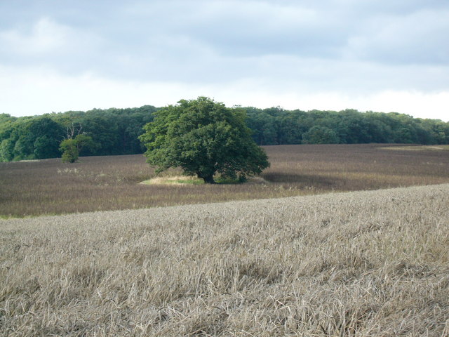
Walman's Wood is a picturesque woodland located in Hertfordshire, England. Covering an area of approximately 50 acres, it is a popular destination for nature enthusiasts and outdoor lovers alike. The wood is situated near the village of Walman's End, surrounded by rolling hills and countryside, providing a serene and tranquil environment.
The wood is predominantly composed of a mix of deciduous and coniferous trees, creating a diverse and vibrant ecosystem. Oak, beech, and birch trees dominate the landscape, providing ample shade and shelter for various wildlife species. The forest floor is carpeted with a rich undergrowth of ferns, bluebells, and wildflowers, creating a vibrant tapestry of colors during the spring and summer months.
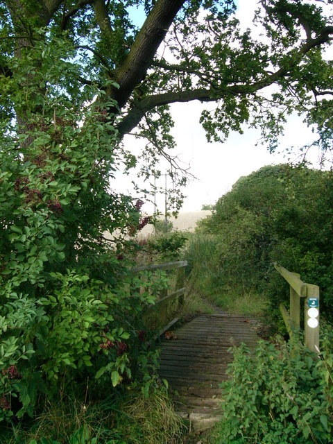
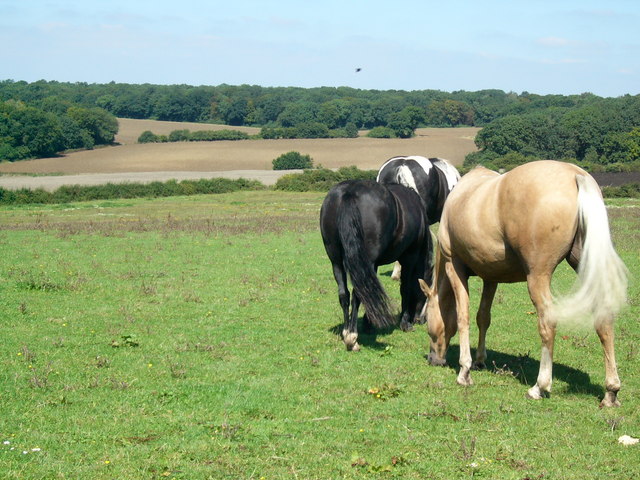
Visitors to Walman's Wood can enjoy a network of well-maintained walking trails that wind their way through the forest. These trails offer breathtaking views of the surrounding countryside and provide opportunities for birdwatching and wildlife spotting. The wood is home to a variety of bird species, including woodpeckers, owls, and songbirds.
The management of Walman's Wood focuses on preserving the natural beauty of the area while also providing educational opportunities for visitors. Interpretive signs and information boards are strategically placed throughout the wood, offering insights into the local flora and fauna, as well as the history and cultural significance of the area.
Overall, Walman's Wood is a haven of tranquility and natural beauty, offering a peaceful retreat from the hustle and bustle of everyday life. Whether it's a leisurely walk, a family picnic, or simply enjoying the sights and sounds of nature, this woodland is a must-visit destination for nature lovers in Hertfordshire.
If you have any feedback on the listing, please let us know in the comments section below.
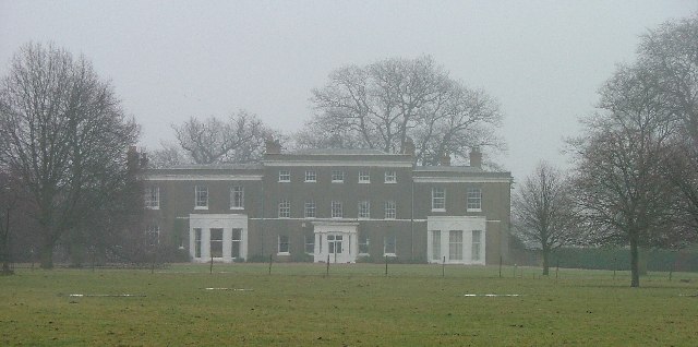
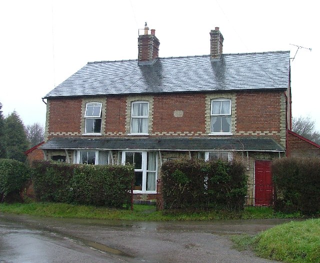
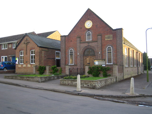
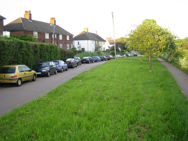
Walman's Wood Images
Images are sourced within 2km of 51.903838/-0.10462677 or Grid Reference TL3024. Thanks to Geograph Open Source API. All images are credited.


Walman's Wood is located at Grid Ref: TL3024 (Lat: 51.903838, Lng: -0.10462677)
Administrative County: Hertfordshire
District: East Hertfordshire
Police Authority: Hertfordshire
What 3 Words
///reverted.tradition.squad. Near Walkern, Hertfordshire
Nearby Locations
Related Wikis

Benington, Hertfordshire
Benington is a village and civil parish in the East Hertfordshire district of Hertfordshire, England, about four miles east of Stevenage and 35 miles north...

Benington Castle
Benington Castle is a ruined castle in the village of Benington, near Stevenage in Hertfordshire, England at grid reference TL296236. It has been protected...

Benington High Wood
Benington High Wood is a 20.7-hectare (51-acre) biological Site of Special Scientific Interest in Benington, Hertfordshire. The planning authority is East...

Church of St Mary the Virgin, Walkern
The parish church of St Mary the Virgin in Walkern, Hertfordshire, dates from before the Norman Conquest and has been altered in the succeeding centuries...
Walkern
Walkern is a village and civil parish in East Hertfordshire, England. It is about two miles (3 km) from Stevenage. The village has several shops, including...

Ardeley
Ardeley is a small village and civil parish in East Hertfordshire, England. The parish includes the hamlet of Cromer, as well as Wood End and Moor Green...

Aston End
Aston End is a hamlet in Hertfordshire, England. It is in the civil parish of Aston. It features a pub and a butchers, as well as a few houses. == References... ==

Moor Hall Meadows
Moor Hall Meadows is a 24.4-hectare (60-acre) biological Site of Special Scientific Interest in Moor Green in Hertfordshire. The local planning authority...
Nearby Amenities
Located within 500m of 51.903838,-0.10462677Have you been to Walman's Wood?
Leave your review of Walman's Wood below (or comments, questions and feedback).