Eastrea Field

Downs, Moorland in Cambridgeshire Fenland

England

Eastrea Field

Farmland south of Eastrea, from the railway
Farmland south of Eastrea, from the railway Credit: Christopher Hilton

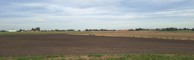
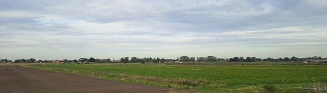
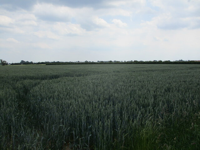
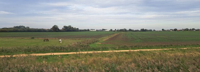
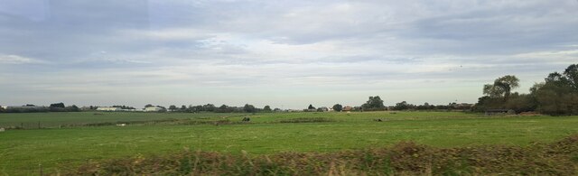
Eastrea Field is a picturesque area located in the county of Cambridgeshire, England. Situated in the village of Eastrea, this vast expanse of land is known for its unique combination of downs and moorland landscapes. Covering an approximate area of several square kilometers, it offers visitors a diverse and captivating natural environment.

The downs of Eastrea Field are characterized by gently rolling hills that create a visually pleasing topography. The grassy slopes are often dotted with wildflowers, creating a vibrant and colorful scene during the warmer months. The downs provide ample space for outdoor activities such as walking, picnicking, and kite flying, attracting locals and tourists alike.

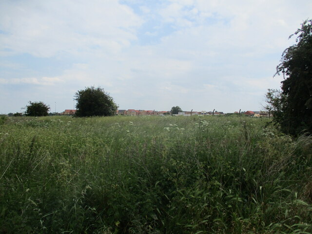
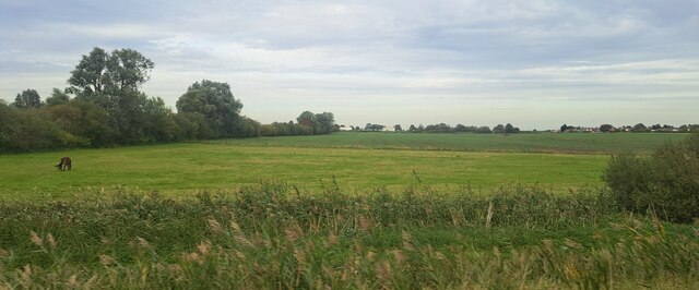
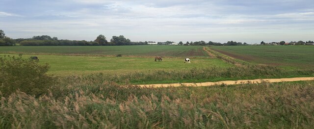
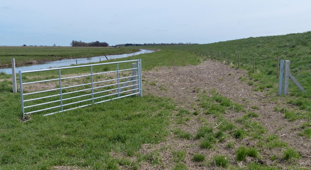
In contrast, the moorland sections of Eastrea Field boast a more rugged and untamed terrain. Here, visitors can discover heathland vegetation, including various types of grasses, heather, and shrubs. The moorland also features several small ponds and marshy areas, which serve as habitats for a variety of wildlife species, including birds, reptiles, and insects.

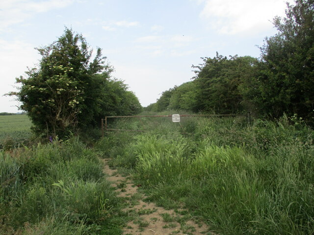
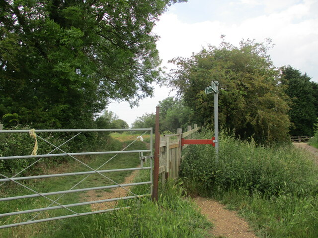
Eastrea Field is a haven for nature enthusiasts and offers numerous opportunities for wildlife observation and photography. Many visitors enjoy exploring the area's network of footpaths and trails, which provide access to its different landscapes. The field's natural beauty also makes it a popular location for artists and photographers seeking inspiration.

Overall, Eastrea Field in Cambridgeshire is a captivating blend of downs and moorland landscapes, offering a serene and picturesque environment for outdoor activities and nature appreciation.

If you have any feedback on the listing, please let us know in the comments section below.

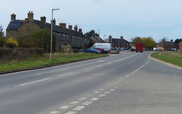
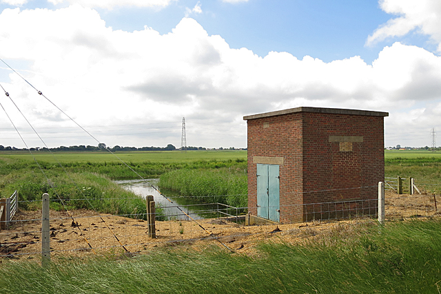
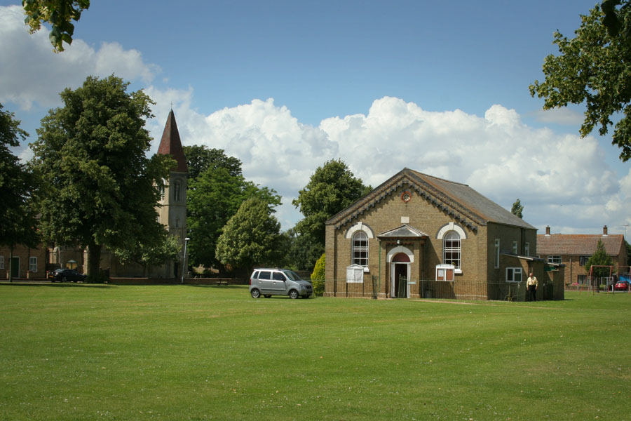
Eastrea Field Images

Images are sourced within 2km of 52.555906/-0.08447972 or Grid Reference TL2997. Thanks to Geograph Open Source API. All images are credited.

Farmland south of Eastrea, from the railway
Farmland south of Coates The track Cross Drove can just be seen in the bottom right of the picture.
Farmland south of Coates
The track Cross Drove can just be seen in the bottom right of the picture.
Farmland south of Coates, from the railway
Farmland south of Coates
Track alongside Bassenhally Reserve Bassenhally Reserve is maintained by Wittlesey Wildfowlers and Conservationists. Access is restricted.
Track alongside Bassenhally Reserve
Bassenhally Reserve is maintained by Wittlesey Wildfowlers and Conservationists. Access is restricted.
Grass field off Drybread Road, Whittlesey
The beginning of a footpath near Bassenhally Farm
Wheat field off Drybread Road
Flood bank between Whittlesey and Eldernell
Paddock north of the railway, east of Whittlesey The horses in this paddock are attached to Partridge Barn Equestrian Centre, just off the left of the picture.
Paddock north of the railway, east of Whittlesey
The horses in this paddock are attached to Partridge Barn Equestrian Centre, just off the left of the picture.
Farmland south of Eastrea, from the railway
Gate next to Moreton's Leam Drain The Nene Way path runs along the top of the bank on the right.
Gate next to Moreton's Leam Drain
The Nene Way path runs along the top of the bank on the right.
John Deere tractors along Eldernell Lane
A605 March Road in Coates
Pumping Station The pumping station stands on an inlet off the Counter Drain. I presume that it pumps water up into Morton's Leam, but will be happy to be corrected.
Pumping Station
The pumping station stands on an inlet off the Counter Drain. I presume that it pumps water up into Morton's Leam, but will be happy to be corrected.
Show me another place!

Eastrea Field is located at Grid Ref: TL2997 (Lat: 52.555906, Lng: -0.08447972)

Division: Isle of Ely

Administrative County: Cambridgeshire

District: Fenland

Police Authority: Cambridgeshire

What 3 Words

///obstruct.rally.overture. Near Whittlesey, Cambridgeshire

Nearby Locations

Eastrea Field Eastrea

Related Wikis

Eastrea

Eastrea is a village in Cambridgeshire, located on the A605 between Whittlesey and Coates. The site has been inhabited since Roman times. The population...

Eastrea railway station

Eastrea railway station was a station serving the village of Eastrea, Cambridgeshire on the Great Eastern Railway's line from Ely to Peterborough. The...

Coates, Cambridgeshire

Coates is a small village close to the town of Whittlesey, in the English county of Cambridgeshire. Coates has a shop which includes a post office. �...

Whittlesey Athletic F.C.

Whittlesey Athletic Football Club is a football club based in Whittlesey, Cambridgeshire, England. They are currently members of the Eastern Counties League...

Lattersey Field

Lattersey Field is an 11.9 hectare Local Nature Reserve in Whittlesey in Cambridgeshire. It is owned by Fenland District Council and managed by the Wildlife...

Bassenhally Pit

Bassenhally Pit is an 8.6-hectare (21-acre) biological Site of Special Scientific Interest north-east of Whittlesey in Cambridgeshire.This former gravel...

Sir Harry Smith Community College

Sir Harry Smith Community College is a secondary school in Whittlesey, Cambridgeshire. Opened in 1953 on the former site of the Whittlesey Workhouse, the...

Whittlesea railway station

Whittlesea railway station is on the Ely–Peterborough line in the East of England and serves the market town of Whittlesey, Cambridgeshire. Whittlesea...

Nearby Amenities

Located within 500m of 52.555906,-0.08447972
Bus Stop
Ferndale Nurseries
Bus: yes
Naptan AtcoCode: 0500FWHIY015
Naptan Bearing: NE
Naptan BusStopType: CUS
Naptan CommonName: Ferndale Nurseries
Naptan Indicator: near
Naptan Landmark: Ferndale Nurseries
Naptan NaptanCode: cmbdmdmt
Naptan ShortCommonName: Ferndale Nurseries
Naptan Street: Coates Road
Naptan Verified: no
Public Transport: platform
Source: naptan_import
Lat/Long: 52.5586077/-0.0847348
Bus Stop
Ferndale Nurseries
Bus: yes
Naptan AtcoCode: 0500FWHIY019
Naptan Bearing: SW
Naptan CommonName: Ferndale Nurseries
Naptan Indicator: opp
Naptan Landmark: Ferndale Nurseries
Naptan NaptanCode: cmbdmdpg
Naptan ShortCommonName: Ferndale Nurseries
Naptan Street: Coates Road
Naptan Verified: no
Public Transport: platform
Source: naptan_import
Lat/Long: 52.5585258/-0.0846794
Nursing Home
The Gables
Operator: Bupa
Lat/Long: 52.5588013/-0.085566
Barrier: cycle_barrier
Lat/Long: 52.5577512/-0.0903399
Defibrillator
Defibrillator Location: outside The Eastrea Centre
Emergency: defibrillator
Indoor: no
Lat/Long: 52.5576713/-0.0889115
The data included in this document is from www.openstreetmap.org. The data is made available under ODbL.

Have you been to Eastrea Field?

Leave your review of Eastrea Field below (or comments, questions and feedback).