Eastrea

Settlement in Cambridgeshire Fenland

England

Eastrea

Farmland south of Eastrea, from the railway
Farmland south of Eastrea, from the railway Credit: Christopher Hilton

Eastrea is a small village located in the district of Fenland, Cambridgeshire, England. Situated approximately 5 miles east of Peterborough, the village is predominantly residential with a population of around 1,000 people.

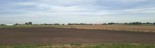
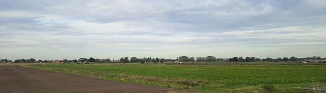
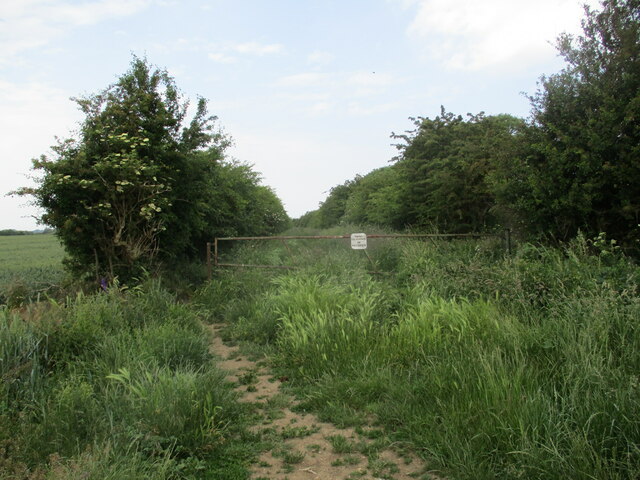
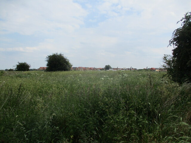
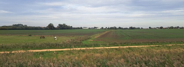
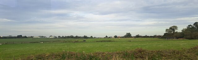
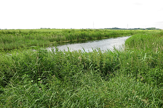
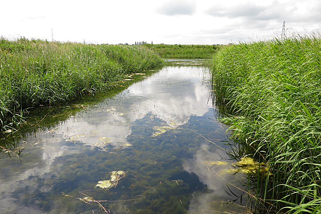
The village is surrounded by picturesque countryside, characterized by open fields and fenland landscapes. It is bordered by the Whittlesey Dyke to the east, providing a scenic waterway that is popular for walking and boating activities. The nearby Whittlesey Mere, a large lake, offers stunning views and serves as a habitat for various bird species, attracting birdwatchers from across the region.

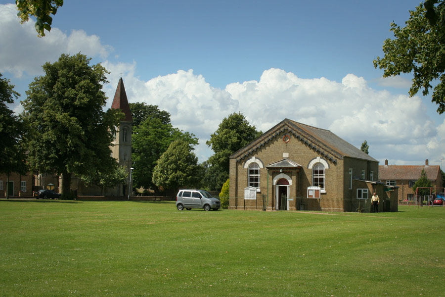
Eastrea is rich in history, with evidence of settlement dating back to Roman times. The village is home to the Grade II listed St. Guthlac's Church, a medieval structure that showcases beautiful architecture and stained glass windows.

Despite its small size, Eastrea benefits from a close-knit community spirit. The village has various amenities, including a primary school, a community center, and a local pub. Additionally, it hosts several annual events, such as the Eastrea Gala, which brings residents together for a day of festivities.

The village enjoys good transport links, with easy access to the A605 road that connects to nearby towns and cities. The city of Peterborough offers a wider range of amenities, including shopping centers, leisure facilities, and a direct train service to London.

Overall, Eastrea is a charming and peaceful village that offers a pleasant rural lifestyle, while still being conveniently located near larger urban centers.

If you have any feedback on the listing, please let us know in the comments section below.
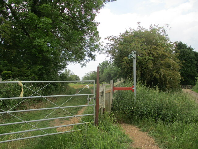
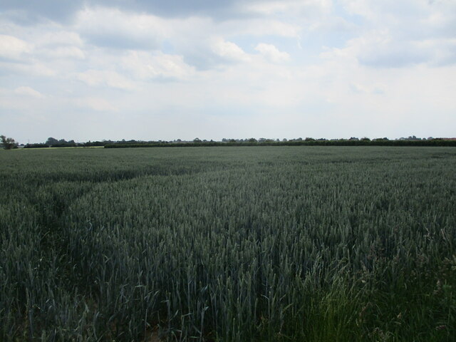
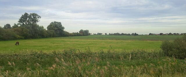
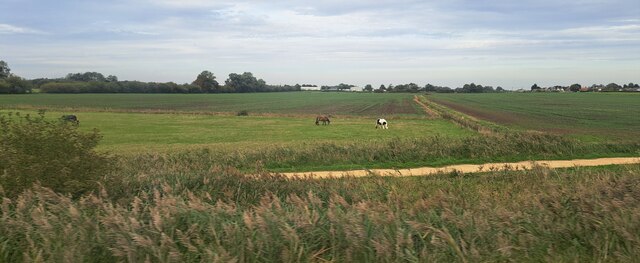
Eastrea Images

Images are sourced within 2km of 52.556319/-0.091971 or Grid Reference TL2997. Thanks to Geograph Open Source API. All images are credited.

Farmland south of Eastrea, from the railway
Farmland south of Coates The track Cross Drove can just be seen in the bottom right of the picture.
Farmland south of Coates
The track Cross Drove can just be seen in the bottom right of the picture.
Farmland south of Coates, from the railway
Track alongside Bassenhally Reserve Bassenhally Reserve is maintained by Wittlesey Wildfowlers and Conservationists. Access is restricted.
Track alongside Bassenhally Reserve
Bassenhally Reserve is maintained by Wittlesey Wildfowlers and Conservationists. Access is restricted.
Nene Washes near Whittlesey Very little in the way of bird life visible until a Red Kite appeared at which point a wide variety of birds appeared to mob it.
Nene Washes near Whittlesey
Very little in the way of bird life visible until a Red Kite appeared at which point a wide variety of birds appeared to mob it.
Grass field off Drybread Road, Whittlesey
Flood bank and Bassenhally Farm
The beginning of a footpath near Bassenhally Farm
Footpath and floodbank at Bassenhally Farm
Wheat field off Drybread Road
Flood bank between Whittlesey and Eldernell
Paddock north of the railway, east of Whittlesey The horses in this paddock are attached to Partridge Barn Equestrian Centre, just off the left of the picture.
Paddock north of the railway, east of Whittlesey
The horses in this paddock are attached to Partridge Barn Equestrian Centre, just off the left of the picture.
Farmland south of Eastrea, from the railway
Counter Drain The Counter Drain is to the south of the embankment that is followed by the Nene Way.
Counter Drain
The Counter Drain is to the south of the embankment that is followed by the Nene Way.
Peaceful Inlet This inlet off the Counter Drain, viewed from the front of the pumping station.
Peaceful Inlet
This inlet off the Counter Drain, viewed from the front of the pumping station.
Show me another place!

Eastrea is located at Grid Ref: TL2997 (Lat: 52.556319, Lng: -0.091971)

Division: Isle of Ely

Administrative County: Cambridgeshire

District: Fenland

Police Authority: Cambridgeshire

What 3 Words

///nylon.track.songbird. Near Whittlesey, Cambridgeshire

Nearby Locations

Eastrea Field Eastrea

Related Wikis

Eastrea

Eastrea is a village in Cambridgeshire, located on the A605 between Whittlesey and Coates. The site has been inhabited since Roman times. The population...

Eastrea railway station

Eastrea railway station was a station serving the village of Eastrea, Cambridgeshire on the Great Eastern Railway's line from Ely to Peterborough. The...

Whittlesey Athletic F.C.

Whittlesey Athletic Football Club is a football club based in Whittlesey, Cambridgeshire, England. They are currently members of the Eastern Counties League...

Lattersey Field

Lattersey Field is an 11.9 hectare Local Nature Reserve in Whittlesey in Cambridgeshire. It is owned by Fenland District Council and managed by the Wildlife...

Coates, Cambridgeshire

Coates is a small village close to the town of Whittlesey, in the English county of Cambridgeshire. Coates has a shop which includes a post office. �...

Bassenhally Pit

Bassenhally Pit is an 8.6-hectare (21-acre) biological Site of Special Scientific Interest north-east of Whittlesey in Cambridgeshire.This former gravel...

Sir Harry Smith Community College

Sir Harry Smith Community College is a secondary school in Whittlesey, Cambridgeshire. Opened in 1953 on the former site of the Whittlesey Workhouse, the...

Whittlesea railway station

Whittlesea railway station is on the Ely–Peterborough line in the East of England and serves the market town of Whittlesey, Cambridgeshire. Whittlesea...

Nearby Amenities

Located within 500m of 52.556319,-0.091971
Bus Stop
Springfields
Bus: yes
Naptan AtcoCode: 0500FWHIY011
Naptan Bearing: W
Naptan CommonName: Springfields
Naptan Indicator: opp
Naptan Landmark: Springfields
Naptan NaptanCode: cmbdmdmd
Naptan ShortCommonName: Springfields
Naptan Street: Coates Road
Naptan Verified: no
Public Transport: platform
Source: naptan_import
Lat/Long: 52.5572086/-0.093308
Bus Stop
Springfields
Bus: yes
Naptan AtcoCode: 0500FWHIY030
Naptan Bearing: NE
Naptan BusStopType: CUS
Naptan CommonName: Springfields
Naptan Indicator: near
Naptan Landmark: Springfields
Naptan NaptanCode: cmbdmdtw
Naptan ShortCommonName: Springfields
Naptan Street: Coates Road
Naptan Verified: no
Public Transport: platform
Source: naptan_import
Lat/Long: 52.5573308/-0.0930814
Eastrea
Is In: Fenland
Place: hamlet
Wikidata: Q1902505
Lat/Long: 52.5564927/-0.0932502
Post Box
Post Box Type: lamp
Ref: PE7 43
Royal Cypher: EIIR
Royal Cypher Wikidata: Q33102113
Lat/Long: 52.557381/-0.0929208
Barrier: cycle_barrier
Lat/Long: 52.5577512/-0.0903399
Power: pole
Lat/Long: 52.5548485/-0.0947142
Power: pole
Lat/Long: 52.5548519/-0.0976753
Power: pole
Lat/Long: 52.5534704/-0.0923459
Power: pole
Lat/Long: 52.5549954/-0.0962219
Power: pole
Lat/Long: 52.5527007/-0.0910449
Defibrillator
Defibrillator Location: outside The Eastrea Centre
Emergency: defibrillator
Indoor: no
Lat/Long: 52.5576713/-0.0889115
The data included in this document is from www.openstreetmap.org. The data is made available under ODbL.

Have you been to Eastrea?

Leave your review of Eastrea below (or comments, questions and feedback).