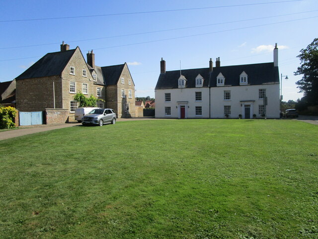
Cobbler's Fen

Downs, Moorland in Cambridgeshire

England

Cobbler's Fen

Farmland in the Fens A typical field in the Cambridgeshire Fens.
Farmland in the Fens Credit: Bob Harvey

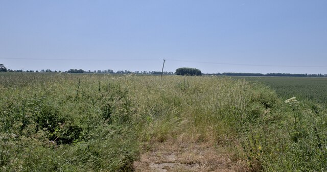
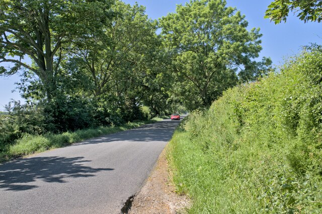
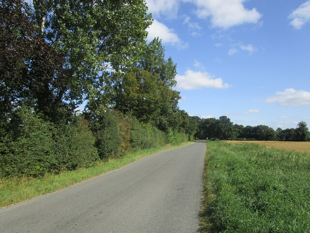
Cobbler's Fen is a picturesque area located in Cambridgeshire, England. Situated amidst the rolling hills and lush greenery, it is a popular destination for nature enthusiasts and hikers. The fen is characterized by a combination of downs and moorland, creating a diverse and unique landscape.

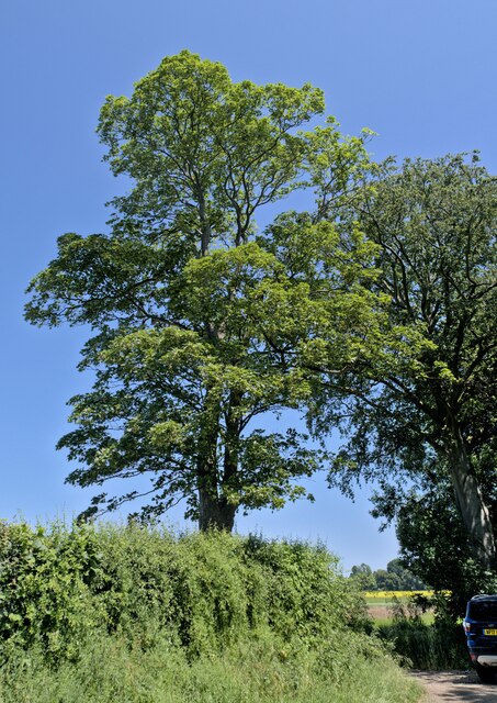
Covering a vast area, Cobbler's Fen offers breathtaking views and is home to a wide variety of flora and fauna. The downs, with their gently sloping hills, are adorned with vibrant wildflowers during the spring and summer months. This creates a stunning display of colors that attracts visitors from near and far.

The moorland, on the other hand, presents a different aspect of Cobbler's Fen. Here, visitors can explore vast expanses of open land, dotted with heather and gorse bushes. This rugged terrain is ideal for those seeking a more adventurous experience, as it provides ample opportunities for hiking and wildlife spotting.

Cobbler's Fen is also known for its diverse range of wildlife. The fen is home to numerous bird species, including skylarks and lapwings, making it a haven for birdwatchers. Additionally, visitors may catch a glimpse of other animals such as rabbits, foxes, and even occasional sightings of deer.

For those interested in history, Cobbler's Fen also boasts a rich cultural heritage. The area is known for its ancient burial mounds, dating back to prehistoric times. These mounds serve as a reminder of the long-standing human presence in the region.

Overall, Cobbler's Fen in Cambridgeshire offers a unique blend of downs, moorland, and historical significance. Whether it's the stunning views, diverse wildlife, or cultural heritage, visitors are sure to find something to captivate their senses in this enchanting destination.

If you have any feedback on the listing, please let us know in the comments section below.

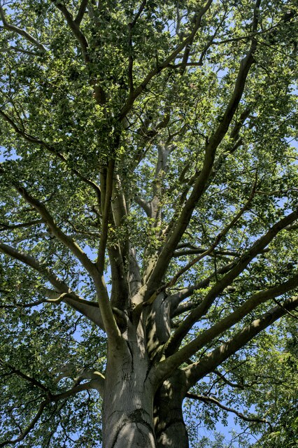
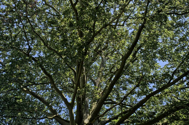
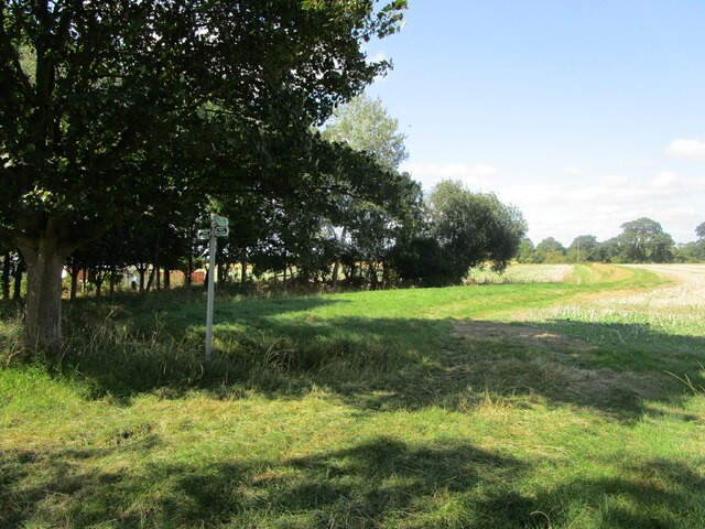
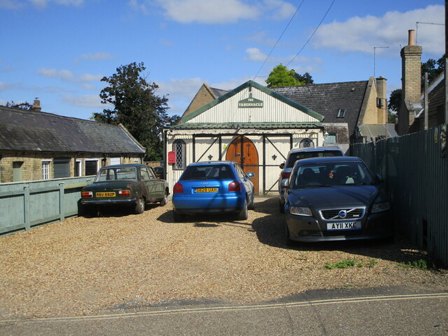
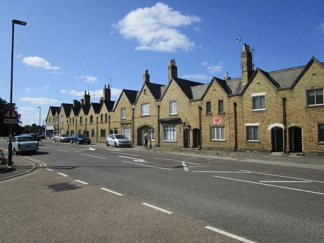
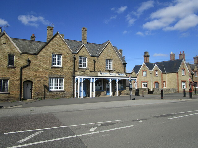
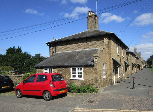
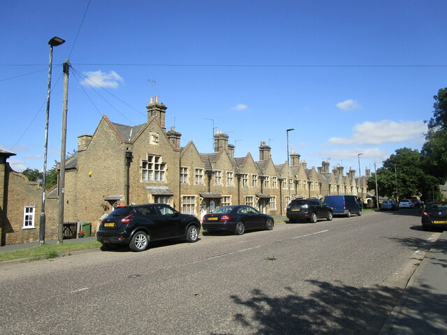
Cobbler's Fen Images

Images are sourced within 2km of 52.62278/-0.08659895 or Grid Reference TF2904. Thanks to Geograph Open Source API. All images are credited.

Farmland in the Fens A typical field in the Cambridgeshire Fens.
Farmland in the Fens
A typical field in the Cambridgeshire Fens.
Along the lane Looking toward Thorney along English Drove.
Along the lane
Looking toward Thorney along English Drove.
Tunnel of trees English Drove in the sunshine.
Tunnel of trees
English Drove in the sunshine.
A magnificent Sycamore Acer pseudoplatanus in a hedgerow.
A magnificent Sycamore
Acer pseudoplatanus in a hedgerow.
Acer pseudoplatanus The trunk of the tree seen in <a href="https://www.geograph.org.uk/photo/7514686">TF3006 : A magnificent Sycamore</a>.
Acer pseudoplatanus
The trunk of the tree seen in TF3006 : A magnificent Sycamore.
Always Look Up The canopy of the tree <a href="https://www.geograph.org.uk/photo/7514686">TF3006 : A magnificent Sycamore</a> - a Sycamore, or Acer pseudoplatanus.
Always Look Up
The canopy of the tree TF3006 : A magnificent Sycamore - a Sycamore, or Acer pseudoplatanus.
The canopy above The canopy of the tree <a href="https://www.geograph.org.uk/photo/7514686">TF3006 : A magnificent Sycamore</a> - a Sycamore, or Acer pseudoplatanus.
The canopy above
The canopy of the tree TF3006 : A magnificent Sycamore - a Sycamore, or Acer pseudoplatanus.
The beginning of a footpath to Thorney
The Tabernacle, Thorney
Black Drove near Thorney
Old stamp machine, Thorney Four First Class stamps for a Pound. Wow!
Old stamp machine, Thorney
Four First Class stamps for a Pound. Wow!
The Rose and Crown, Thorney
Thorney Food Stores Part of a block dated 1856 <span class="nowrap"><a title="https://historicengland.org.uk/listing/the-list/list-entry/1127491" rel="nofollow ugc noopener" href="https://historicengland.org.uk/listing/the-list/list-entry/1127491">Link</a><img style="margin-left:2px;" alt="External link" title="External link - shift click to open in new window" src="https://s1.geograph.org.uk/img/external.png" width="10" height="10"/></span>
Thorney Food Stores
Part of a block dated 1856 LinkExternal link
Houses, Wisbech Road, Thorney The block is dated 1856 <span class="nowrap"><a title="https://historicengland.org.uk/listing/the-list/list-entry/1127491" rel="nofollow ugc noopener" href="https://historicengland.org.uk/listing/the-list/list-entry/1127491">Link</a><img style="margin-left:2px;" alt="External link" title="External link - shift click to open in new window" src="https://s1.geograph.org.uk/img/external.png" width="10" height="10"/></span>
Houses, Wisbech Road, Thorney
The block is dated 1856 LinkExternal link
Hong Lok Garden, Thorney Part of a block dated 1856 <span class="nowrap"><a title="https://historicengland.org.uk/listing/the-list/list-entry/1127491" rel="nofollow ugc noopener" href="https://historicengland.org.uk/listing/the-list/list-entry/1127491">Link</a><img style="margin-left:2px;" alt="External link" title="External link - shift click to open in new window" src="https://s1.geograph.org.uk/img/external.png" width="10" height="10"/></span>
Hong Lok Garden, Thorney
Part of a block dated 1856 LinkExternal link
Cottages, Wisbech Road, Thorney Date from about 1838 <span class="nowrap"><a title="https://historicengland.org.uk/listing/the-list/list-entry/1331232" rel="nofollow ugc noopener" href="https://historicengland.org.uk/listing/the-list/list-entry/1331232">Link</a><img style="margin-left:2px;" alt="External link" title="External link - shift click to open in new window" src="https://s1.geograph.org.uk/img/external.png" width="10" height="10"/></span>
Cottages, Wisbech Road, Thorney
Date from about 1838 LinkExternal link
Housing, Wisbech Road, Thorney Date from about 1849 <span class="nowrap"><a title="https://historicengland.org.uk/listing/the-list/list-entry/1225144" rel="nofollow ugc noopener" href="https://historicengland.org.uk/listing/the-list/list-entry/1225144">Link</a><img style="margin-left:2px;" alt="External link" title="External link - shift click to open in new window" src="https://s1.geograph.org.uk/img/external.png" width="10" height="10"/></span>
Housing, Wisbech Road, Thorney
Date from about 1849 LinkExternal link
The Green, Thorney On the left, No. 2 <span class="nowrap"><a title="https://historicengland.org.uk/listing/the-list/list-entry/1224675" rel="nofollow ugc noopener" href="https://historicengland.org.uk/listing/the-list/list-entry/1224675">Link</a><img style="margin-left:2px;" alt="External link" title="External link - shift click to open in new window" src="https://s1.geograph.org.uk/img/external.png" width="10" height="10"/></span> Directly ahead Nos. 3 and 4 <span class="nowrap"><a title="https://historicengland.org.uk/listing/the-list/list-entry/1331268" rel="nofollow ugc noopener" href="https://historicengland.org.uk/listing/the-list/list-entry/1331268">Link</a><img style="margin-left:2px;" alt="External link" title="External link - shift click to open in new window" src="https://s1.geograph.org.uk/img/external.png" width="10" height="10"/></span>
This area was once Thorney's Market Place.
The Green, Thorney
On the left, No. 2 LinkExternal link Directly ahead Nos. 3 and 4 LinkExternal link This area was once Thorney's Market Place.
Show me another place!

Cobbler's Fen is located at Grid Ref: TF2904 (Lat: 52.62278, Lng: -0.08659895)

Division: Isle of Ely

Unitary Authority: Peterborough

Police Authority: Cambridgeshire

What 3 Words

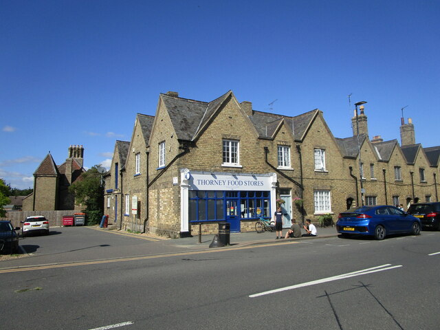
///invent.appeal.cemented. Near Thorney, Cambridgeshire

Nearby Locations

Cobbler's Fen

Related Wikis

Thorney, Cambridgeshire

Thorney is a village in the Peterborough unitary authority in the ceremonial county of Cambridgeshire, England. Located around eight miles (13 km) east...

Thorney Abbey

Thorney Abbey, now the Church of St Mary and St Botolph, was a medieval monastic house established on the island of Thorney in The Fens of Cambridgeshire...

Thorney railway station

Thorney railway station was a station in Thorney, Cambridgeshire on the Midland and Great Northern Joint Railway line between Peterborough and Wisbech...

Wryde railway station

Wryde railway station was a station serving Wryde, Cambridgeshire on the Midland and Great Northern Joint Railway between Wisbech and Peterborough. Originally...

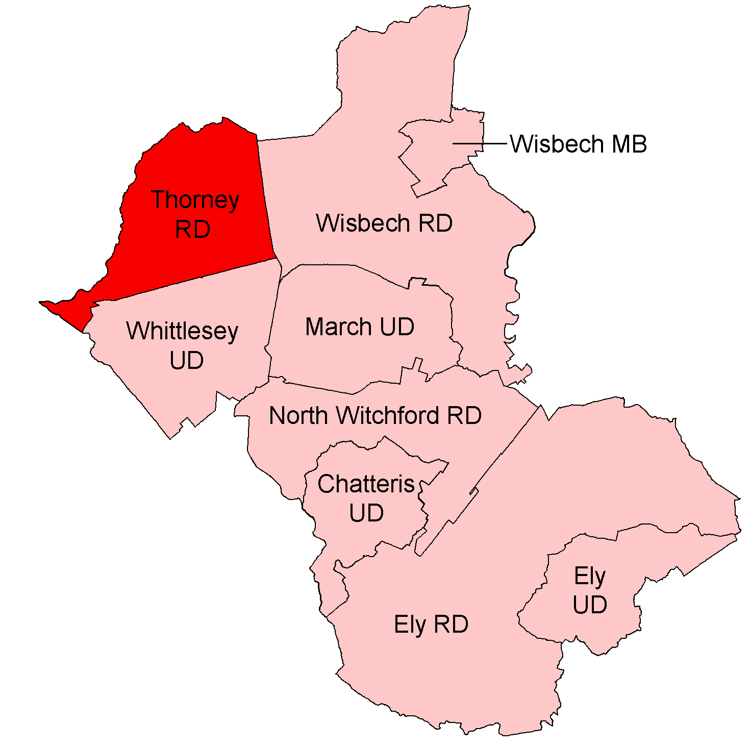
Thorney Rural District

Thorney was a rural district in England from 1894 to 1974, situated to the east of Peterborough. It was created under the Local Government Act 1894, covering...

Thorney Toll

Thorney Toll is a hamlet in Fenland District, in the Isle of Ely, Cambridgeshire, England. The hamlet sits either side of the A47 between Guyhirn and Peterborough...

Nene Washes

Nene Washes is a 1,522-hectare (3,760-acre) biological Site of Special Scientific Interest on the bank of the River Nene east of Peterborough in Cambridgeshire...

French Drove and Gedney Hill railway station

French Drove and Gedney Hill was a station on the Great Northern and Great Eastern Joint Railway near Gedney Hill in south Lincolnshire on the line between...

Nearby Amenities

Located within 500m of 52.62278,-0.08659895
Parking
Description: Layby
Ele: 5
Lat/Long: 52.6242482/-0.0855668
Power: pole
Lat/Long: 52.621603/-0.092961
Power: pole
Lat/Long: 52.6213253/-0.0917013
Power: pole
Lat/Long: 52.6211041/-0.0907522
Power: pole
Lat/Long: 52.6208775/-0.0897591
Power: pole
Lat/Long: 52.620651/-0.0887483
Power: pole
Lat/Long: 52.620453/-0.087858
Power: pole
Lat/Long: 52.6202354/-0.0868737
Power: pole
Lat/Long: 52.6200142/-0.0858571
Power: pole
Lat/Long: 52.6197716/-0.0847552
Power: pole
Lat/Long: 52.6193918/-0.0841331
Power: pole
Lat/Long: 52.6192591/-0.0839145
Power: pole
Lat/Long: 52.6197737/-0.0846908
Power: pole
Lat/Long: 52.6198247/-0.0840367
Power: pole
Lat/Long: 52.6198811/-0.0833646
Power: pole
Lat/Long: 52.6199484/-0.0826747
The data included in this document is from www.openstreetmap.org. The data is made available under ODbL.

Have you been to Cobbler's Fen?

Leave your review of Cobbler's Fen below (or comments, questions and feedback).