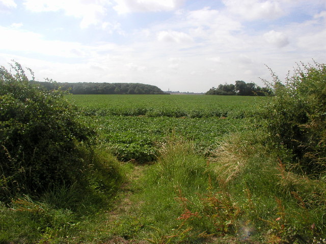
West Field

Downs, Moorland in Yorkshire

England

West Field

Farmland south of Bydales Lane Taken from about 115m, the photo shows a typical Holderness landscape - almost flat, fertile arable farmland.
Farmland south of Bydales Lane Credit: Andy Beecroft

The requested URL returned error: 429 Too Many Requests

If you have any feedback on the listing, please let us know in the comments section below.
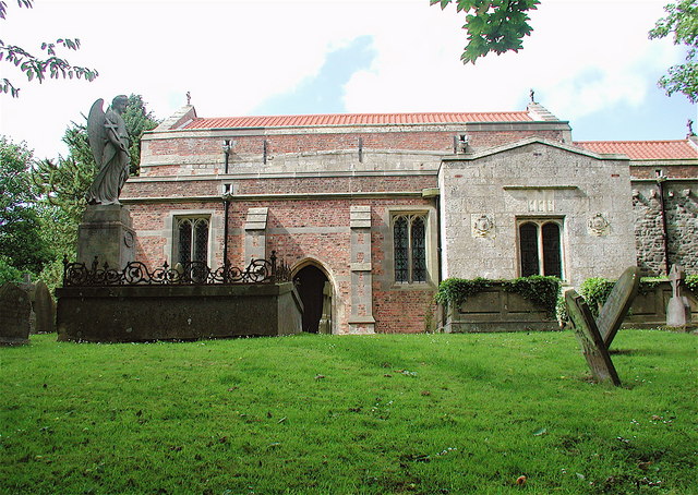
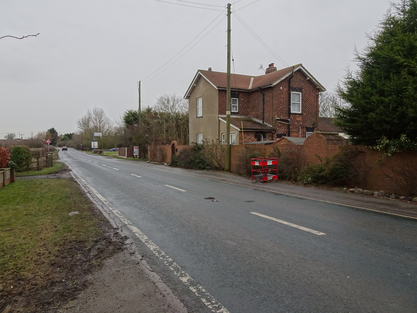
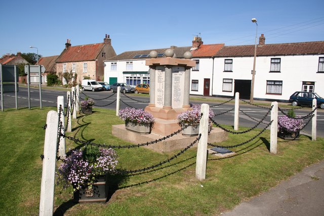
West Field Images

Images are sourced within 2km of 53.70882/-0.038239991 or Grid Reference TA2925. Thanks to Geograph Open Source API. All images are credited.

Farmland south of Bydales Lane Taken from about 115m, the photo shows a typical Holderness landscape - almost flat, fertile arable farmland.
Farmland south of Bydales Lane
Taken from about 115m, the photo shows a typical Holderness landscape - almost flat, fertile arable farmland.
North Winestead Winetead is a hamlet in eastern Holderness.  The near-flat farmland in this area is very fertile and is typically used for growing wheat, barley, rapeseed, potatoes and peas amongst other crops.

The photo was taken from about 115m up.
North Winestead
Winetead is a hamlet in eastern Holderness. The near-flat farmland in this area is very fertile and is typically used for growing wheat, barley, rapeseed, potatoes and peas amongst other crops. The photo was taken from about 115m up.
Private road to Weldon's Plantation
Old milestone This milestone is at the north side of Winestead Bridge on the east side of the A1033, Station Road, towards Patrington.   It is the only one on this route to be fastened to a step-stone.   It was well-sunken to almost cover the plate but was raised and reset by the Highways unit.  It is possible that the original plain stone was lost at some time and the plate set onto this stone.
Old milestone
This milestone is at the north side of Winestead Bridge on the east side of the A1033, Station Road, towards Patrington. It is the only one on this route to be fastened to a step-stone. It was well-sunken to almost cover the plate but was raised and reset by the Highways unit. It is possible that the original plain stone was lost at some time and the plate set onto this stone.
Bus  stop  on  the  A1033  toward  Ottringham
Bus stop on the A1033 toward Ottringham
Road  junction  on  A1033  near  Winestead Caught the early morning sun. The A1033 goes sharp right toward Patrington. To the left the minor road north to Winestead and Roos
Road junction on A1033 near Winestead
Caught the early morning sun. The A1033 goes sharp right toward Patrington. To the left the minor road north to Winestead and Roos
Road  toward  Patrington  near  Winestead The A1033 runs through Holderness to Withernsea, flat land all the way
Road toward Patrington near Winestead
The A1033 runs through Holderness to Withernsea, flat land all the way
Old Milestone Old milestone on the A1033 near to Winestead, East Riding of Yorkshire. For overall view see <a title="https://www.geograph.org.uk/photo/4094836" href="https://www.geograph.org.uk/photo/4094836">Link</a>
Old Milestone
Old milestone on the A1033 near to Winestead, East Riding of Yorkshire. For overall view see Link
To Hull 17 Old mile post on the A1033 near to Winestead, East Riding of Yorkshire. For close up view see <a title="https://www.geograph.org.uk/photo/4094831" href="https://www.geograph.org.uk/photo/4094831">Link</a>
To Hull 17
Old mile post on the A1033 near to Winestead, East Riding of Yorkshire. For close up view see Link
Straw Baling Taking at MR: TA30932476 looking in a westerly direction.
Straw Baling
Taking at MR: TA30932476 looking in a westerly direction.
Bydales Lane Bend Bydales Lane is a minor road from Winestead to Withernsea.
Bydales Lane Bend
Bydales Lane is a minor road from Winestead to Withernsea.
Wheat field A very boring scene, but, unfortunately, this is the only publicly accessible part of the square.  Taken at MR: TA30942557 looking in a WNW direction.
Wheat field
A very boring scene, but, unfortunately, this is the only publicly accessible part of the square. Taken at MR: TA30942557 looking in a WNW direction.
The view towards Patrington Looking southwards from MR: TA31242583.  Patrington Church spire can just be seen in the middle of this photo.
The view towards Patrington
Looking southwards from MR: TA31242583. Patrington Church spire can just be seen in the middle of this photo.
Distant farm Taken at MR: TA30562678 looking in a WNW direction.  This is a typical landscape for this part of Holderness.
Distant farm
Taken at MR: TA30562678 looking in a WNW direction. This is a typical landscape for this part of Holderness.
Little Newsome Farm This grid square is all farmland. This view is at the top north edge of the square.
Little Newsome Farm
This grid square is all farmland. This view is at the top north edge of the square.
Frodingham Hall
Frodingham Hall
Every home should have one Southwest corner of the moat at Frodingham Hall.
Every home should have one
Southwest corner of the moat at Frodingham Hall.
Red Hall Farm, Winestead Now home to Redhall Engineering Services Ltd.
Red Hall Farm, Winestead
Now home to Redhall Engineering Services Ltd.
Show me another place!

West Field is located at Grid Ref: TA2925 (Lat: 53.70882, Lng: -0.038239991)

Division: East Riding

Unitary Authority: East Riding of Yorkshire

Police Authority: Humberside

What 3 Words

///crunched.sandwich.outpost. Near Ottringham, East Yorkshire

Related Wikis

Winestead Hall

Winestead Hall was a large country house at Winestead in the East Riding of Yorkshire, England. == History == Sir Robert Hildyard, 2nd Baronet commissioned...

Winestead

Winestead is a village in the civil parish of Patrington, in the East Riding of Yorkshire, England, in an area known as Holderness. It is situated approximately...

Winestead railway station

Winestead railway station is a disused railway station on the North Eastern Railway's Hull and Holderness Railway to the south of Winestead, East Riding...

Patrington Rural District

Patrington was a rural district in the East Riding of Yorkshire, England, from 1894 to 1935.The district formed the south-eastern part of the county, stretching...

Nearby Amenities

Located within 500m of 53.70882,-0.038239991
Post Box
Lat/Long: 53.7110916/-0.0364056
Passing Place
Lat/Long: 53.7122886/-0.0360972
Passing Place
Lat/Long: 53.7127807/-0.0360167
Power: pole
Lat/Long: 53.7125298/-0.0414077
Power: pole
Lat/Long: 53.7119837/-0.0404636
Power: pole
Lat/Long: 53.7082373/-0.0360167
Power: pole
Lat/Long: 53.7055796/-0.0359577
Power: pole
Lat/Long: 53.7093327/-0.0357863
Power: pole
Lat/Long: 53.7105327/-0.0373203
Power: pole
Lat/Long: 53.7098915/-0.0361133
Power: pole
Lat/Long: 53.7101995/-0.0367248
Power: pole
Lat/Long: 53.7073387/-0.036006
Power: pole
Lat/Long: 53.7091073/-0.036065
Power: pole
Lat/Long: 53.711009/-0.0383717
Power: pole
Lat/Long: 53.7047/-0.035947
Power: pole
Lat/Long: 53.7114979/-0.0394926
Power: pole
Lat/Long: 53.7064591/-0.0359631
The data included in this document is from www.openstreetmap.org. The data is made available under ODbL.

Have you been to West Field?

Leave your review of West Field below (or comments, questions and feedback).