Tunstall Pastures

Downs, Moorland in Yorkshire

England

Tunstall Pastures

Cliff Crumble The incessant submission to the sea of the Holderness cliffs continues apace - particularly at this time of the year.  A photo of the cliffs in this square taken by a previous Geograph submitter in 2005, shows a road running parallel to the cliff edge.  A rough estimate means that the road will now be at least 50 metres "over the cliff" in just the 16 years that have gone by since then!
Cliff Crumble Credit: Andy Beecroft

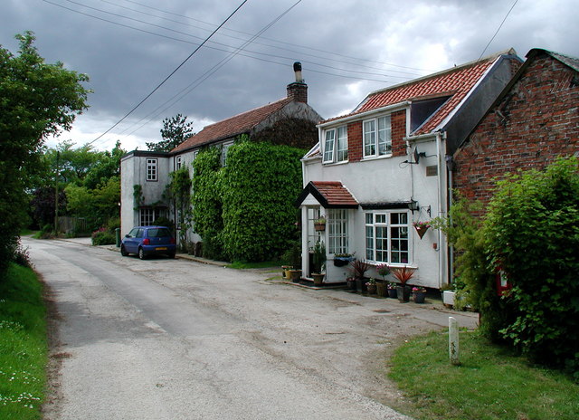
Tunstall Pastures is a picturesque area located in the county of Yorkshire, England. Nestled amidst the mesmerizing Yorkshire Downs and Moorland, this region offers a stunning natural landscape that attracts both locals and tourists alike.

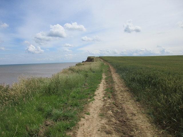
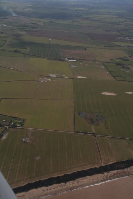
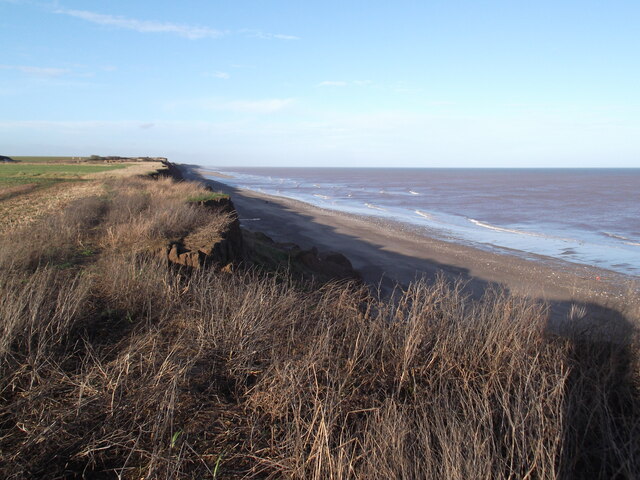
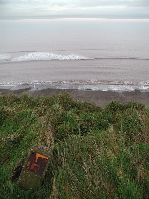
The pastures are characterized by their rolling hills, lush green fields, and scattered patches of woodland. The area boasts a diverse array of flora and fauna, making it a haven for nature enthusiasts and wildlife lovers. Visitors can spot various species of birds, small mammals, and even grazing livestock such as sheep and cows.

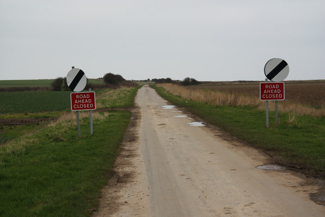
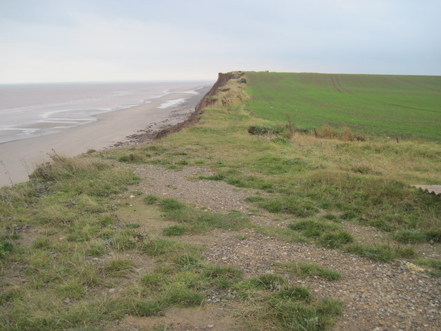
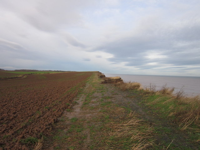
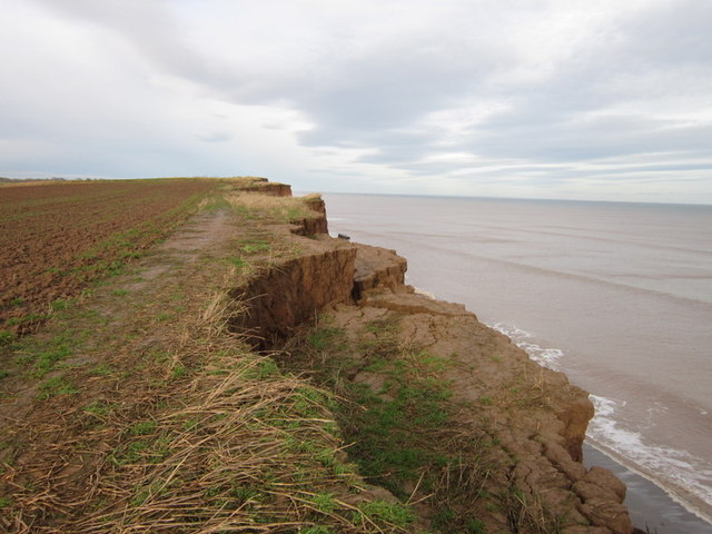
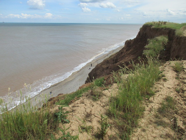
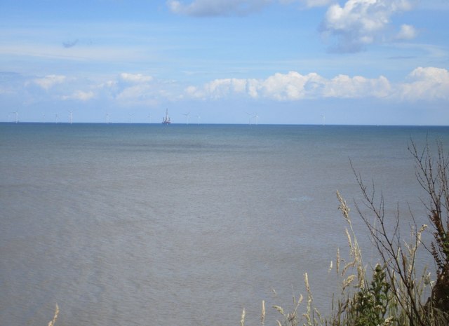
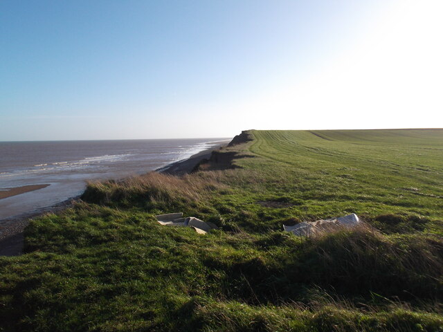
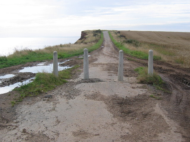
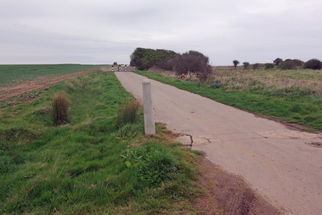
The Yorkshire Downs, with their sweeping vistas and undulating hills, provide a breathtaking backdrop to the pastures. These hills offer excellent opportunities for hiking, walking, and cycling, with numerous trails winding through the countryside. The elevated terrain also allows for panoramic views of the surrounding moorland and the distant Yorkshire Dales.

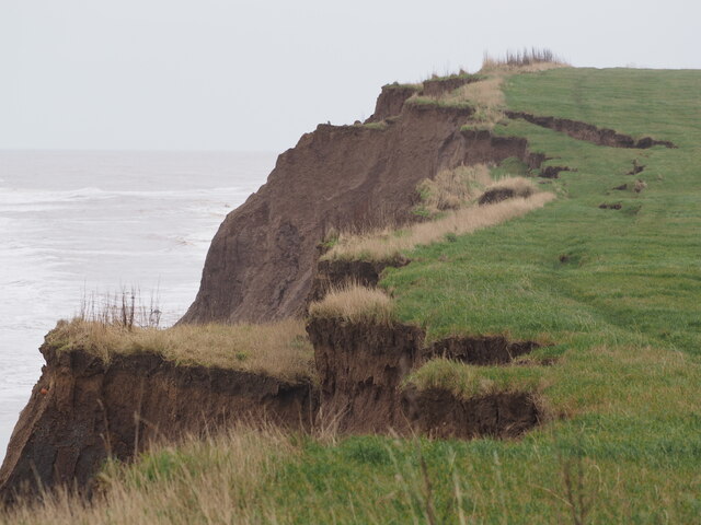
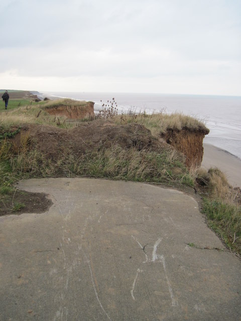
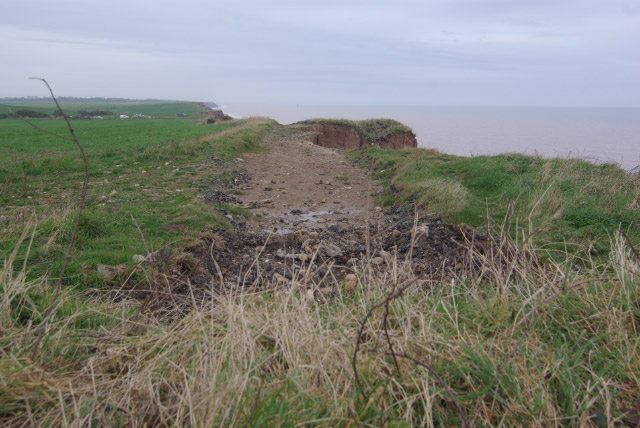
The moorland itself is a unique feature of Tunstall Pastures. It is characterized by its vast stretches of heather, interspersed with rocky outcrops and peat bogs. This rugged landscape is home to a variety of rare plant species and provides a habitat for several bird species, including the iconic red grouse.

Tunstall Pastures is not only renowned for its natural beauty but also for its historical significance. The area is dotted with ancient archaeological sites, including burial mounds and stone circles, which offer insights into the region's rich past.

In summary, Tunstall Pastures in Yorkshire is a captivating blend of downs, moorland, and lush pastures. Its stunning scenery, abundant wildlife, and historical sites make it a must-visit destination for nature enthusiasts and history buffs alike.

If you have any feedback on the listing, please let us know in the comments section below.

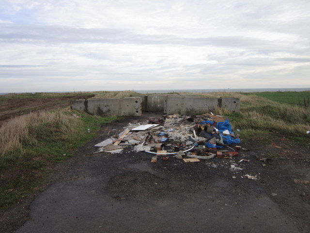
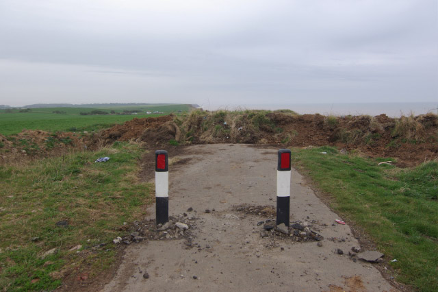
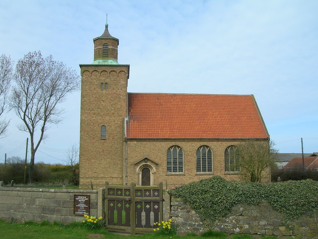
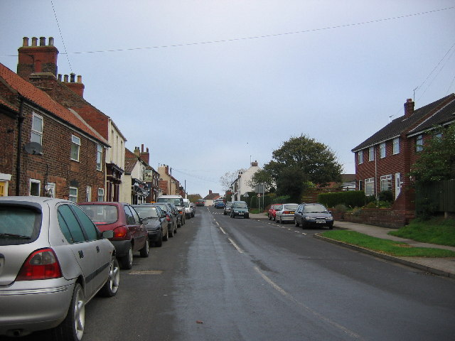
Tunstall Pastures Images

Images are sourced within 2km of 53.785879/-0.037742923 or Grid Reference TA2933. Thanks to Geograph Open Source API. All images are credited.

Cliff Crumble The incessant submission to the sea of the Holderness cliffs continues apace - particularly at this time of the year.  A photo of the cliffs in this square taken by a previous Geograph submitter in 2005, shows a road running parallel to the cliff edge.  A rough estimate means that the road will now be at least 50 metres "over the cliff" in just the 16 years that have gone by since then!
Cliff Crumble
The incessant submission to the sea of the Holderness cliffs continues apace - particularly at this time of the year. A photo of the cliffs in this square taken by a previous Geograph submitter in 2005, shows a road running parallel to the cliff edge. A rough estimate means that the road will now be at least 50 metres "over the cliff" in just the 16 years that have gone by since then!
Pastures Lane Once the road from Tunstall to Monkwith, now lost to coastal erosion and the road ends abruptly over the cliff edge further on <a title="https://www.geograph.org.uk/photo/1257863" href="https://www.geograph.org.uk/photo/1257863">Link</a> hence the road closure
Pastures Lane
Once the road from Tunstall to Monkwith, now lost to coastal erosion and the road ends abruptly over the cliff edge further on Link hence the road closure
Pasture  Lane  swallowed  by  Erosion
Pasture Lane swallowed by Erosion
Pasture  Lane  has  gone  to  Sea Taken from the end of Hogsea Lane it turned south here into Pasture Lane which went to Tunstall.Take a look at some of the photos in this square showing Pasture Lane, this section is now in the sea.
Pasture Lane has gone to Sea
Taken from the end of Hogsea Lane it turned south here into Pasture Lane which went to Tunstall.Take a look at some of the photos in this square showing Pasture Lane, this section is now in the sea.
Fly tipping on Hogsea Lane
Walking north from Hogsea Lane
Fishing below the cliff Of Pasture Lane that once used to run close to the cliff top there is now no sign. All has succumbed to the sea.
Fishing below the cliff
Of Pasture Lane that once used to run close to the cliff top there is now no sign. All has succumbed to the sea.
View towards Westernmost Rough wind farm Taken from the cliff top near Tunstall.
View towards Westernmost Rough wind farm
Taken from the cliff top near Tunstall.
Cliff top path The road which even recent OS maps mark has been lost to the sea. Even this path is perilously close at times. Much of it will probably be gone after next winter.
Cliff top path
The road which even recent OS maps mark has been lost to the sea. Even this path is perilously close at times. Much of it will probably be gone after next winter.
Monkwith, crumbling cliff and Pastures Lane, near Tunstall: aerial 2018
Coast south of Hogsea Road No road and no path now
Coast south of Hogsea Road
No road and no path now
Coast near Tunstall
Coast near Tunstall
Coast road to Tunstall The short coast road to Tunstall is closed, due to it being a tad close to the cliff edge. It's still in use as people drive around the bollards!
Coast road to Tunstall
The short coast road to Tunstall is closed, due to it being a tad close to the cliff edge. It's still in use as people drive around the bollards!
Hogsea Lane, east of Hilston The North Sea cliffs just north of Hogsea Lane. The fire hydrant sign suggests there was once some kind of building not too far away.
Hogsea Lane, east of Hilston
The North Sea cliffs just north of Hogsea Lane. The fire hydrant sign suggests there was once some kind of building not too far away.
Road to Monkwith The title is inaccurate: neither Monkwith nor the road to it exists any more - victims of the age-old process of coastal erosion. Just ahead of this point there is a road block and a few yards beyond that the road has disappeared over the cliff.
Road to Monkwith
The title is inaccurate: neither Monkwith nor the road to it exists any more - victims of the age-old process of coastal erosion. Just ahead of this point there is a road block and a few yards beyond that the road has disappeared over the cliff.
End of the road, Monkwith This is a sight frequently encountered when exploring minor roads around the Holderness coast. Beyond the earth barrier, the road has collapsed into the sea.
End of the road, Monkwith
This is a sight frequently encountered when exploring minor roads around the Holderness coast. Beyond the earth barrier, the road has collapsed into the sea.
End of the road, Monkwith This lane running north of Tunstall village has fallen victim to the erosion that affects the Holderness coast. Four years ago the road was closed, but evidently still passable - see <a href="https://www.geograph.org.uk/photo/45850">TA3033 : Coast road to Tunstall</a>
End of the road, Monkwith
This lane running north of Tunstall village has fallen victim to the erosion that affects the Holderness coast. Four years ago the road was closed, but evidently still passable - see TA3033 : Coast road to Tunstall
Show me another place!

Tunstall Pastures is located at Grid Ref: TA2933 (Lat: 53.785879, Lng: -0.037742923)

Division: East Riding

Unitary Authority: East Riding of Yorkshire

Police Authority: Humberside

What 3 Words

///slopes.slant.eyeful. Near Roos, East Yorkshire

Related Wikis

Hilston

Hilston is a village in the civil parish of Roos, in the East Riding of Yorkshire, England, near the North Sea coast in an area known as Holderness. It...

Grimston, East Riding of Yorkshire

Grimston is a hamlet in the civil parish of East Garton, in the East Riding of Yorkshire, England, in an area known as Holderness. It is situated approximately...

Tunstall, East Riding of Yorkshire

Tunstall is a village in the civil parish of Roos, in Holderness, in the East Riding of Yorkshire, England, close to the North Sea coast. It is situated...

Owstwick

Owstwick is a hamlet in the civil parish of Roos, in the East Riding of Yorkshire, England, in an area known as Holderness. It is approximately 11 miles...

East Garton

East Garton is a civil parish in the East Riding of Yorkshire, England. It is situated 7 miles (11 km) to the north-west of Withernsea town centre and...

Garton

Garton (or Garton in Holderness) is a village in the East Riding of Yorkshire, England, in an area known as Holderness. It is situated approximately 7...

Roos

Roos is a village and civil parish in the East Riding of Yorkshire, England. It is situated 12 miles (19 km) east from Kingston upon Hull city centre and...

Fitling

Fitling is a hamlet in the civil parish of East Garton, in the East Riding of Yorkshire, England, in an area known as Holderness. It is situated approximately...

Nearby Amenities

Located within 500m of 53.785879,-0.037742923
Source: PGS
Lat/Long: 53.7845197/-0.0313702
Source: PGS
Lat/Long: 53.7857557/-0.0329314
Source: PGS
Lat/Long: 53.7873501/-0.0348595
Source: PGS
Lat/Long: 53.7884702/-0.0362934
The data included in this document is from www.openstreetmap.org. The data is made available under ODbL.

Have you been to Tunstall Pastures?

Leave your review of Tunstall Pastures below (or comments, questions and feedback).