Brookfield Common

Downs, Moorland in Hertfordshire North Hertfordshire

England

Brookfield Common

Corner and crossways on B1037 The B road has a right-angled bend from the foreground to the left, Blind Lane joins on the right, and straight on is a public byway called Back Lane on the course of a Roman road.
Corner and crossways on B1037 Credit: Robin Webster

Brookfield Common, located in Hertfordshire, is a picturesque area known for its downs and moorland. Spanning approximately several square miles, the common is characterized by its diverse natural landscape and rich biodiversity.

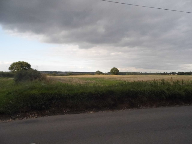
The downs in Brookfield Common are rolling hills covered in lush grasslands, offering breathtaking views of the surrounding countryside. These hills are a popular spot for outdoor activities such as hiking, picnicking, and photography, attracting locals and tourists alike. The area is often dotted with grazing sheep, adding to its idyllic charm.

In contrast, the moorland section of Brookfield Common is characterized by its open expanses of heather and gorse. This habitat provides a unique environment for various species of wildlife, including birds, insects, and small mammals. Nature enthusiasts can enjoy spotting rare bird species such as the Eurasian curlew and the red grouse, which find sanctuary in the moorland's diverse ecosystem.

Brookfield Common is also home to several walking trails and nature reserves, allowing visitors to explore its beauty at their own pace. The common's accessibility and well-maintained paths make it an ideal destination for families and individuals seeking a peaceful retreat from the hustle and bustle of city life.

Overall, Brookfield Common in Hertfordshire offers a delightful blend of downs and moorland, providing a haven for nature lovers and outdoor enthusiasts. With its stunning landscapes and abundant wildlife, it is a must-visit destination for anyone seeking a serene and scenic escape.

If you have any feedback on the listing, please let us know in the comments section below.

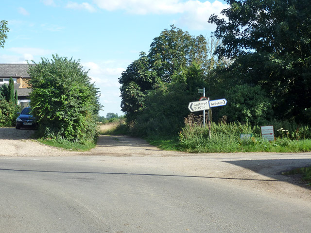
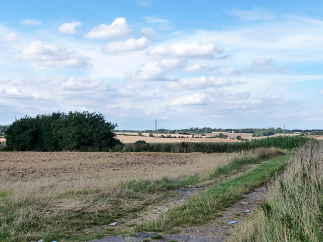
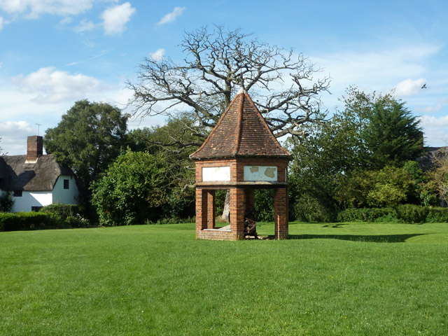
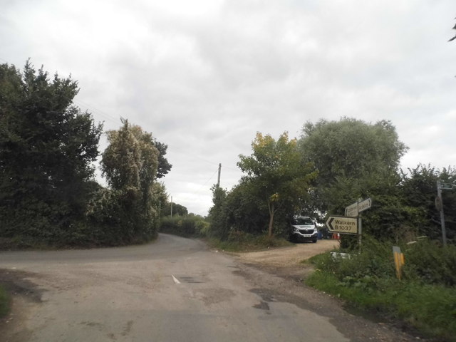
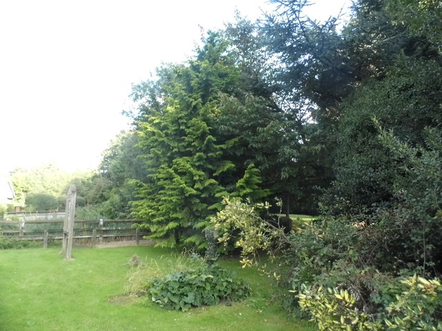
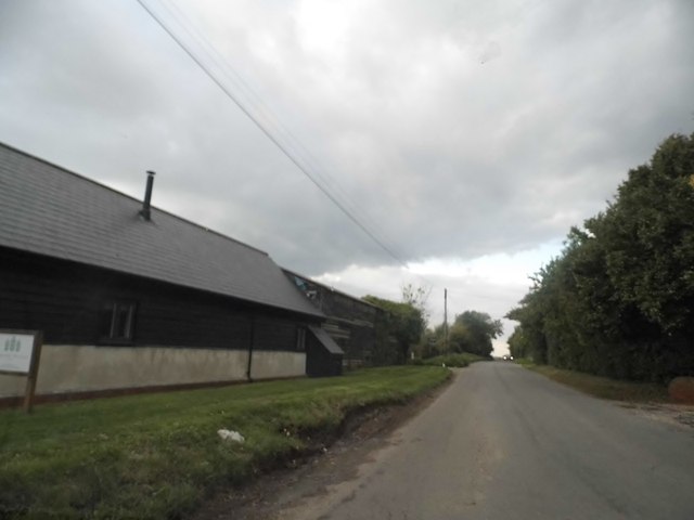
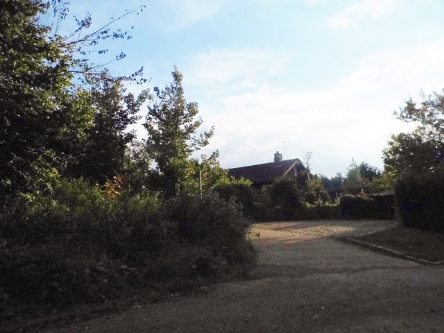
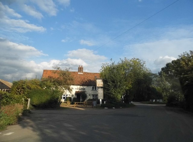
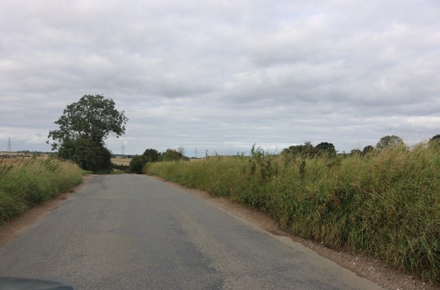
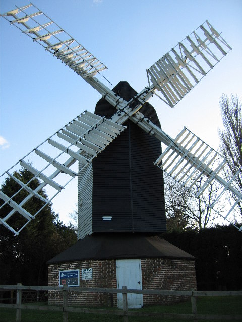
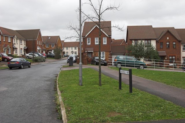
Brookfield Common Images

Images are sourced within 2km of 51.935214/-0.12049931 or Grid Reference TL2927. Thanks to Geograph Open Source API. All images are credited.

Corner and crossways on B1037 The B road has a right-angled bend from the foreground to the left, Blind Lane joins on the right, and straight on is a public byway called Back Lane on the course of a Roman road.
Corner and crossways on B1037
The B road has a right-angled bend from the foreground to the left, Blind Lane joins on the right, and straight on is a public byway called Back Lane on the course of a Roman road.
View north from B1037 The hedgerow is along the course of a Roman road heading north-west from Braughing to Baldock.
View north from B1037
The hedgerow is along the course of a Roman road heading north-west from Braughing to Baldock.
Pump on green, Ardeley Although looking like an ancient village green surrounded by thatched cottages, according to maps the whole lot appears to be a 20th century creation, including the pump and well. The pump is of the 'mangle' type, a rotating crankshaft moving the piston up and down. It does not work, if it ever did.
Pump on green, Ardeley
Although looking like an ancient village green surrounded by thatched cottages, according to maps the whole lot appears to be a 20th century creation, including the pump and well. The pump is of the 'mangle' type, a rotating crankshaft moving the piston up and down. It does not work, if it ever did.
Blind Lane at the junction of Hare Street
Cromer Windmill
Cromer Windmill
Field by the B1037, Cromer
The centre of Ardeley Looking towards the church hall, the church is on the right
The centre of Ardeley
Looking towards the church hall, the church is on the right
Shrine by St Lawrence's Church, Ardeley
St Lawrence's Church garden
The B1037 by Bancroft Farm, Hare Street The old barn has been totally rebuilt from the wood walls and tin roof previously which was falling apart.
The B1037 by Bancroft Farm, Hare Street
The old barn has been totally rebuilt from the wood walls and tin roof previously which was falling apart.
Little road to Ardeley Bury
The Jolly Waggoner, Ardeley
Pair of houses in Ardeley
Field by Blind Lane, Ardeley
Blind Lane, Hare Street
Unnamed road north of Cromer
Cromer Windmill Nowhere near Cromer on the north Norfolk coast, instead taking its name from a small village nearby.
Cromer Windmill is a post mill dating from the 18th century and fully restored in 1967-1969. It is a Grade II* listed building. <span class="nowrap"><a title="https://britishlistedbuildings.co.uk/101101453-cromer-windmill-ardeley#.XOhhR3dFzwo" rel="nofollow ugc noopener" href="https://britishlistedbuildings.co.uk/101101453-cromer-windmill-ardeley#.XOhhR3dFzwo">Link</a><img style="margin-left:2px;" alt="External link" title="External link - shift click to open in new window" src="https://s1.geograph.org.uk/img/external.png" width="10" height="10"/></span>
Cromer Windmill
Nowhere near Cromer on the north Norfolk coast, instead taking its name from a small village nearby. Cromer Windmill is a post mill dating from the 18th century and fully restored in 1967-1969. It is a Grade II* listed building. LinkExternal link
Minor road in Cromer
Show me another place!

Brookfield Common is located at Grid Ref: TL2927 (Lat: 51.935214, Lng: -0.12049931)

Administrative County: Hertfordshire

District: North Hertfordshire

Police Authority: Hertfordshire

What 3 Words

///according.mailer.deflated. Near Walkern, Hertfordshire

Related Wikis

Cromer, Hertfordshire

Cromer is a hamlet in the civil parish of Ardeley, Hertfordshire, England. It is a small hamlet; however, it is noteworthy for possessing Hertfordshire...

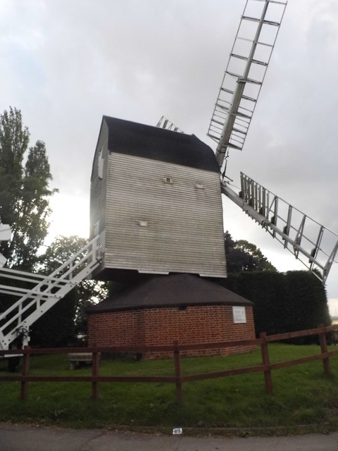
Cromer Windmill, Ardeley

Cromer Windmill, restored in four stages between 1967 and 1998, is a Grade II* listed post mill at Cromer, Ardeley, Hertfordshire, England. == History... ==

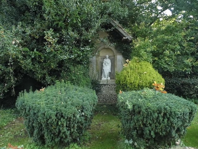
Church of St Mary the Virgin, Walkern

The parish church of St Mary the Virgin in Walkern, Hertfordshire, dates from before the Norman Conquest and has been altered in the succeeding centuries...

Ardeley

Ardeley is a small village and civil parish in East Hertfordshire, England. The parish includes the hamlet of Cromer, as well as Wood End and Moor Green...
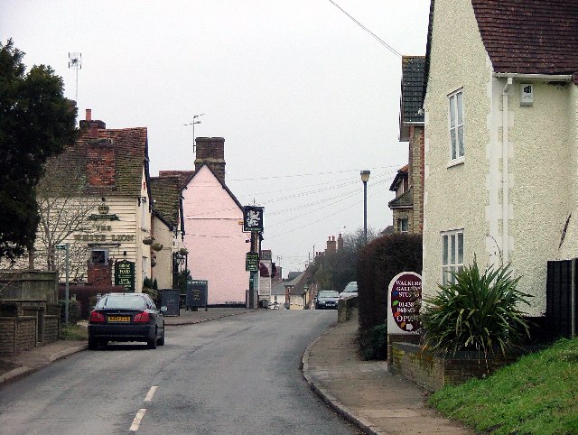
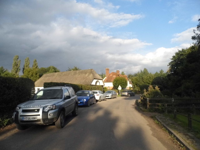
Walkern

Walkern is a village and civil parish in East Hertfordshire, England. It is about two miles (3 km) from Stevenage. The village has several shops, including...

Cottered

Cottered is a village and civil parish 3 miles (4.8 km) west of Buntingford and 6 miles (9.7 km) east of Baldock in the East Hertfordshire District of...

Great Ashby

Great Ashby is a civil parish in Stevenage in the North Hertfordshire district, in the county of Hertfordshire, England. The name Great Ashby was coined...

Pryor's Wood

Pryor's Wood is an 8.7-hectare (21-acre) nature reserve in Great Ashby, near Stevenage in Hertfordshire. It was formerly managed by the Herts and Middlesex...

Nearby Amenities

Located within 500m of 51.935214,-0.12049931
Cromer Hall
Naptan AtcoCode: 210021306058
Naptan Bearing: SW
Naptan BusStopType: CUS
Naptan CommonName: Cromer Hall
Naptan Crossing: Luffenhall Road
Naptan Indicator: opp
Naptan Landmark: Luffenhall Road
Naptan NaptanCode: hrtdtajp
Naptan ShortCommonName: NA
Naptan Street: Cromerhill Common
Naptan Verified: no
Source: naptan_import
Lat/Long: 51.936917/-0.1156208
Cromer Hall
Naptan AtcoCode: 210021309760
Naptan Bearing: NE
Naptan BusStopType: CUS
Naptan CommonName: Cromer Hall
Naptan Crossing: Cromerhill Common
Naptan Indicator: NE-bound
Naptan Landmark: Cromerhill Common
Naptan NaptanCode: hrtdpjda
Naptan ShortCommonName: NA
Naptan Street: White Hill
Naptan Verified: no
Source: naptan_import
Lat/Long: 51.9373364/-0.1154141
The data included in this document is from www.openstreetmap.org. The data is made available under ODbL.

Have you been to Brookfield Common?

Leave your review of Brookfield Common below (or comments, questions and feedback).